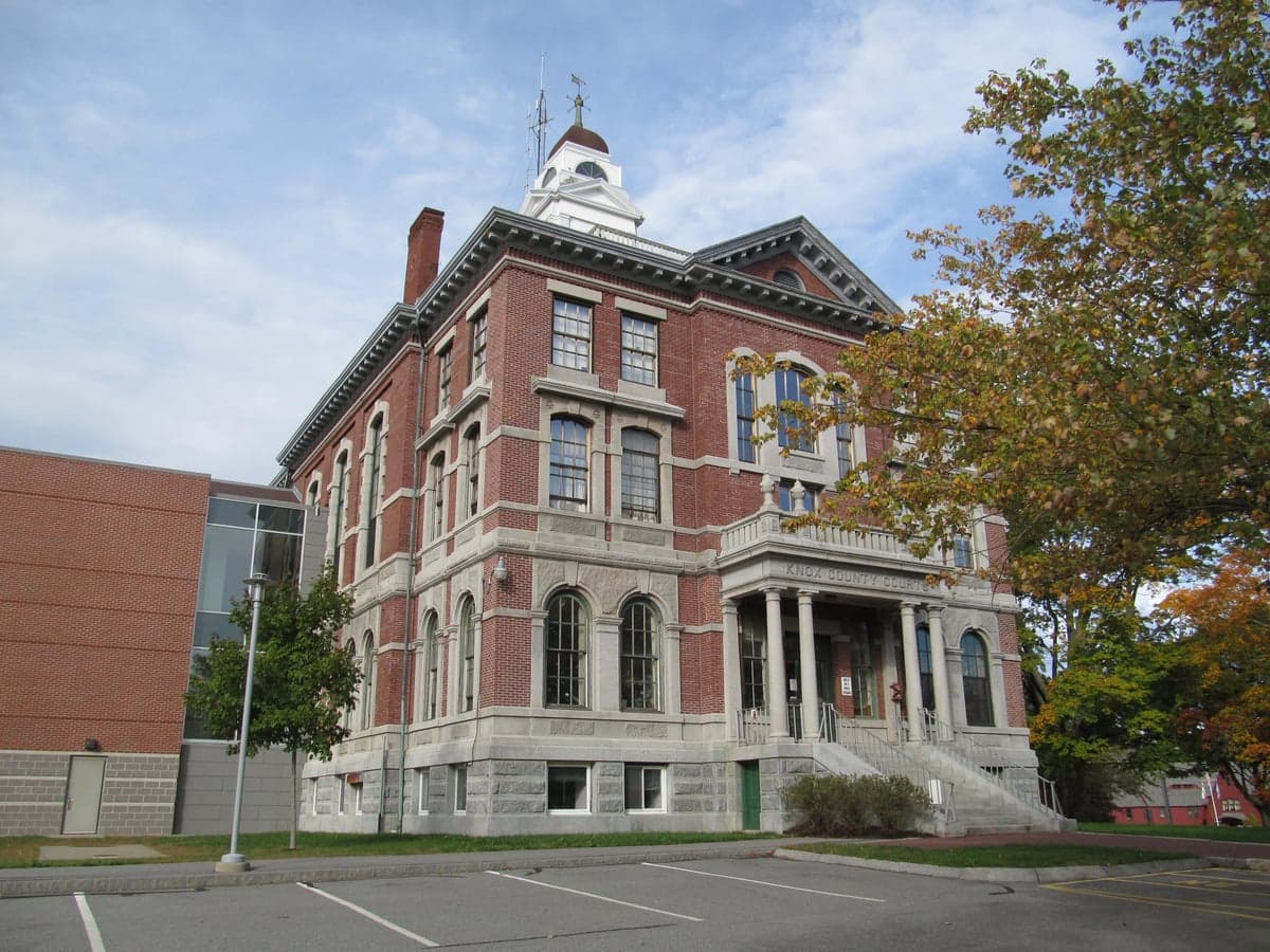
Photo: Wikipedia
Strategic Assessment of Knox County
Meaningful friction. Expect exposure to either population pressure, blast zones, or natural disaster risk. Consider buying a retreat property.
What does the Strategic Assessment tell us?
Our Strategic Assessment grades tactical survivability of an area. Major population centers, military targets, fallout zones, natural disasters, and border exposure all drive risk — lower exposure means a more defensible position in a crisis.
This is heavily inspired by Joel Skousen's Strategic Relocation book. Highly recommended you checkout the book ($)What does this tell us?
Our Strategic Assessment grades tactical survivability of an area. Major population centers, military targets, fallout zones, natural disasters, and border exposure all drive risk — lower exposure means a more defensible position in a crisis.
This is heavily inspired by Joel Skousen's Strategic Relocation book. Highly recommended you checkout the book ($)Strategic Pillars

Key Distances
Strategic Assessment Analysis
Knox County, Maine, offers a compelling mix of geographic isolation and practical resilience that appeals to relocation-minded individuals and families with a conservative, self-reliant outlook. Its position on the central Maine coast, anchored by the city of Rockland and the towns of Camden, Thomaston, and Warren, provides a buffer from the densest population corridors while still maintaining access to essential infrastructure. The area’s strategic value lies in its combination of a robust working waterfront, a diversified local economy, and a terrain that naturally discourages casual transit, making it a defensible and sustainable choice for those prioritizing long-term preparedness.
Geographic position and natural advantages for long-term security
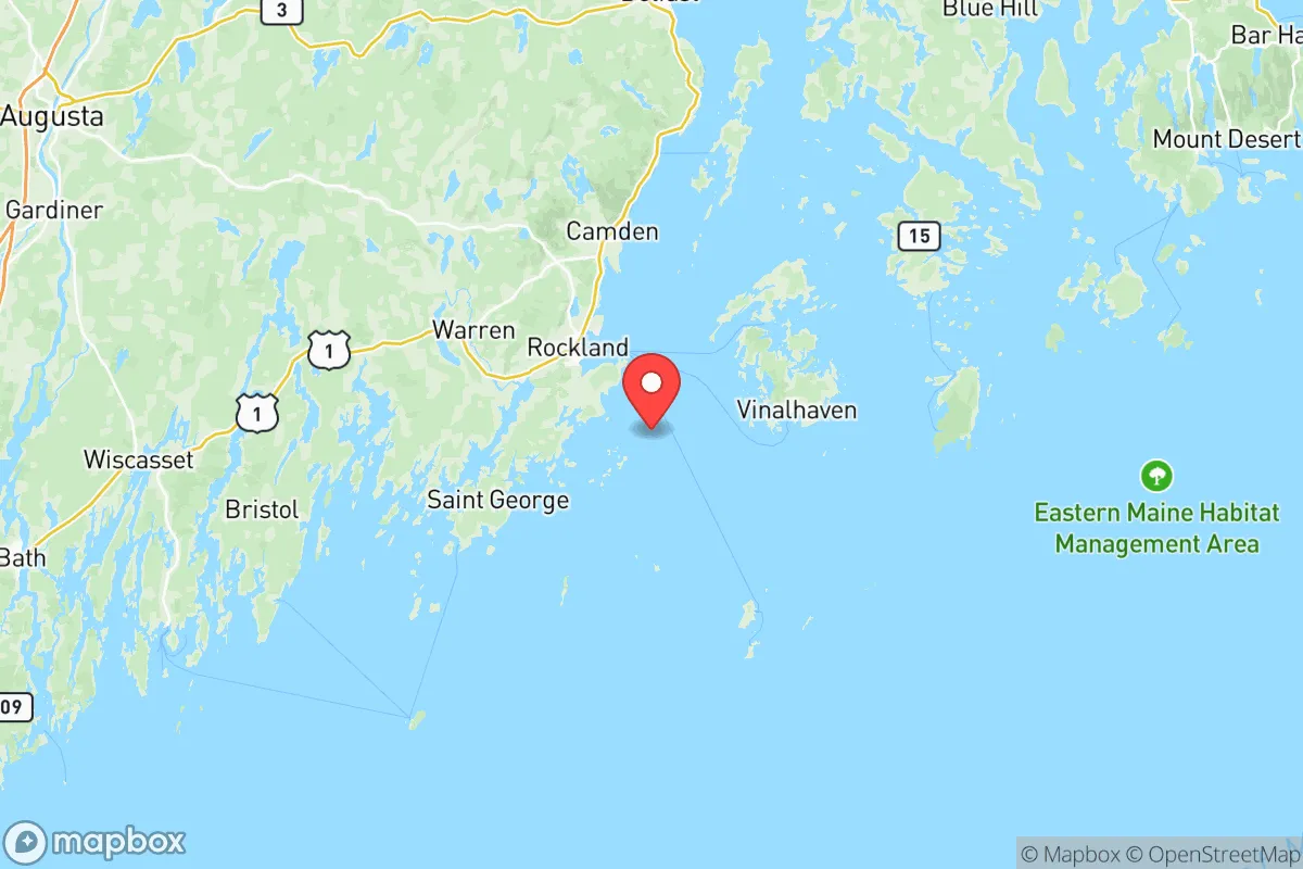
Knox County’s geography is its primary asset. The region sits roughly 80 miles northeast of Portland and over 150 miles from Boston, placing it well outside the immediate blast and fallout zones of major metropolitan targets. The coastline here is deeply indented with peninsulas, islands, and protected harbors—Penobscot Bay, Muscle Ridge Channel, and the St. George River—which create natural chokepoints and observation points. Inland, the terrain rises into low, forested hills and scattered lakes, such as Megunticook Lake and Seven Tree Pond, offering defensible homesteading sites with good water access. The area’s relatively low population density (roughly 40,000 residents across 365 square miles) means fewer people competing for resources in a crisis. The working waterfront in Rockland and Port Clyde supports a fishing fleet that can provide a protein source independent of industrial supply chains, while the region’s abundant hardwood and softwood forests supply fuel and building materials. The climate is cold and snowy in winter, which deters unprepared transient populations and naturally limits growing seasons, but the long daylight hours of summer allow for intensive gardening and food preservation.
Risks, exposures, and proximity to fallout-relevant landmarks
No location is risk-free, and Knox County has specific vulnerabilities. The most significant man-made risk is the proximity to the Maine Yankee nuclear waste storage site in Wiscasset, roughly 30 miles southwest of Rockland. While the reactor is decommissioned, the spent fuel remains in dry casks on site, a potential target for sabotage or a catastrophic accident. Additionally, the Bath Iron Works shipyard in Bath, about 40 miles southwest, is a strategic industrial asset that builds U.S. Navy destroyers—making it a plausible target for a kinetic or cyber attack. The Port of Searsport, about 20 miles north of Rockland, handles petroleum products and liquefied natural gas, creating a secondary hazard zone. On the natural side, Knox County faces coastal storm surge risks, particularly in low-lying areas like Rockland’s harbor district and the narrow barrier beaches of Owls Head and South Thomaston. The region is also in a moderate seismic zone; while major earthquakes are rare, the 2012 M4.0 quake near Hollis Center was felt locally. Winter storms can knock out power for days or weeks, as seen in the 2022 ice storm that left parts of Warren and Union without electricity for over a week. The area’s reliance on a single major highway—U.S. Route 1—for north-south travel creates a chokepoint; a bridge failure or blockage at the Thomaston narrows could isolate the entire peninsula.
Practical resilience for a relocator: food, water, energy, and defensibility
For a family or individual serious about self-sufficiency, Knox County offers strong fundamentals. Food security is supported by a robust local farming network—the Knox County Farmers’ Cooperative in Rockland and the numerous small farms in Appleton, Hope, and Washington produce vegetables, eggs, poultry, and grass-fed beef. The coastal waters provide year-round access to lobster, crab, and groundfish, with commercial landings at Rockland Harbor and Port Clyde. Foraging for wild mushrooms, berries, and seaweed is common knowledge among locals. Water access is excellent: the region has abundant groundwater, with many properties on private wells, and surface water from lakes like Chickawaukie Pond and Alford Lake. Municipal water in Rockland comes from Mirror Lake, but a well on your own land is the gold standard here. Energy resilience is a mixed picture. The grid is vulnerable to storm outages, but the prevalence of wood stoves and pellet boilers in homes means heating can continue without electricity. Solar potential is moderate—the region gets about 200 sunny days per year—but battery storage is advisable. Propane is widely available for backup generators, and several local suppliers in Thomaston and Warren deliver. Defensibility is aided by the terrain: the many dead-end roads, narrow peninsulas, and dense forest cover make it hard for large groups to move through unnoticed. The local culture is heavily armed—Maine has some of the most permissive gun laws in the country, and Knox County has a strong tradition of hunting and sport shooting. The sheriff’s office in Rockland is professional but understaffed, meaning that in a prolonged crisis, communities would need to organize their own security. The region’s small population and tight-knit social fabric—where neighbors know each other and local churches and granges serve as community hubs—are intangible but critical assets for mutual aid and information sharing.
Overall, Knox County presents a balanced strategic picture for the conservative relocator. It avoids the extreme risks of major metropolitan areas while offering genuine natural advantages in food, water, and defensibility. The primary trade-offs are the moderate exposure to coastal storm surge and the proximity to the Wiscasset waste site and Bath Iron Works, which require situational awareness but are not disqualifying. The region’s working waterfront, strong local food system, and culture of self-reliance make it a viable long-term base for those who are willing to invest in off-grid infrastructure and integrate into the community. For a family or individual thinking seriously about disaster readiness, Knox County is a solid, grounded choice—not a fantasy of total isolation, but a real place where preparation meets practicality.

* Values derived from national, state, county, city and local statistics and may differ in a specific area. Last updated: 2026-08-18T17:54:33.000Z
Narrative content on this page is AI-generated and may contain mistakes. Verify any details that matter before acting on them.
ReloMaps may earn a commission from affiliate links at no extra cost to you.

