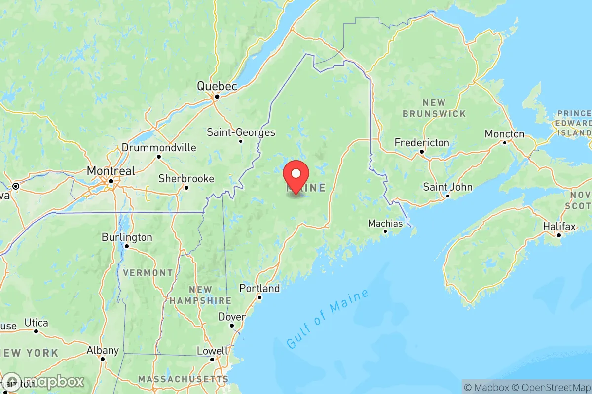
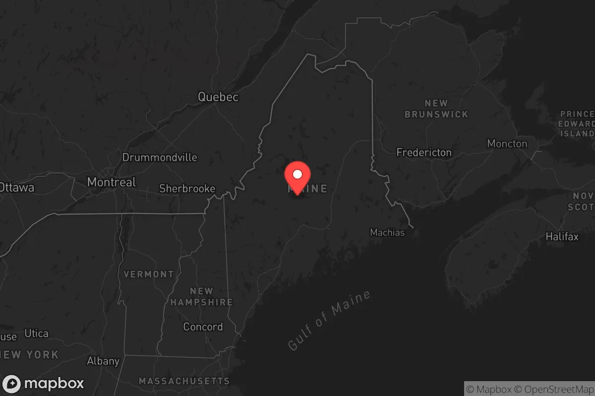
Strategic Assessment of Maine
Meaningful friction. Expect exposure to either population pressure, blast zones, or natural disaster risk. Consider buying a retreat property.
What does the Strategic Assessment tell us?
Our Strategic Assessment grades tactical survivability of an area. Major population centers, military targets, fallout zones, natural disasters, and border exposure all drive risk — lower exposure means a more defensible position in a crisis.
This is heavily inspired by Joel Skousen's Strategic Relocation book. Highly recommended you checkout the book ($)What does this tell us?
Our Strategic Assessment grades tactical survivability of an area. Major population centers, military targets, fallout zones, natural disasters, and border exposure all drive risk — lower exposure means a more defensible position in a crisis.
This is heavily inspired by Joel Skousen's Strategic Relocation book. Highly recommended you checkout the book ($)Regional Safe Places
Below is our recommended "safe zones" in Maine and the surrounding area based on our strategic heuristics. For most people, it's unrealistic to live in a “safe zone” full-time due to work, family or other personal reasons. They tend to be more rural. However, many of these areas are perfect for second homes and retreat properties that double as a vacation home or even a short-term rental.




Important Note: For informational purposes only. This does not mean nothing bad ever happens in the green zones. Please use common sense. This is based on public data and modeled with AI. We tried to take a conservative approach but mistakes happen. We update this regularly as new information becomes available.
Solar Generator Recommendations
Backup power matters more here than in safer locations. We've picked three solar generators across budgets and capacity tiers — start with the budget unit if you only need a few essentials, or step up if you want to run a fridge and HVAC for days at a time.

Jackery Portable Power Station Explorer 300
Budget OptionPower on the Go: Weighing only 11 lbs, it's convenient to set up and store with book-sized foldable solar panels

BLUETTI Portable Power Station AC180
Designed for both indoor and outdoor scenarios, AC180 is highly capable as it has a robost capacity and continuous output power.

EF ECOFLOW DELTA Pro Ultra Power Station
Upgraded PickEcoFlow DELTA Pro Ultra is a whole-home energy system designed to grow with your family. Integrated with the Smart Home Panel 2, it scales to meet your evolving energy needs — keeping your home powered, intelligent, and secure through every stage of life.
We earn a commission, at no additional cost to you.
Strategic Assessment Analysis
Maine offers a compelling strategic profile for relocation-minded conservatives prioritizing resilience, self-sufficiency, and distance from major metropolitan vulnerabilities. The state’s position as the northeasternmost U.S. state, with a coastline stretching from Kittery to Eastport and a vast, sparsely populated interior, provides natural buffers against both man-made and natural disruptions that plague more densely settled regions. For a family or individual serious about disaster readiness, Maine’s combination of abundant freshwater, low population density, and relative isolation from high-value target zones makes it one of the more defensible long-term bets in the continental United States.
Geographic position and natural advantages for self-sufficiency
Maine’s geography is its primary strategic asset. The state sits far from the major population corridors of the Northeast Corridor—Boston is roughly 100 miles from the southern border, and New York City is over 300 miles away—placing most of the state outside the immediate fallout or secondary disruption zones of those dense urban centers. The interior, particularly areas around Millinocket, Greenville on Moosehead Lake, and the vast North Woods, offers hundreds of thousands of acres of forest with extremely low population density (fewer than 10 people per square mile in many counties). This remoteness provides a natural defensibility: limited road access, dense tree cover, and long distances between settlements make large-scale movement or surveillance difficult. The state’s extensive coastline, from Portland down east to Eastport, also offers maritime access for fishing, transport, and potential evacuation routes by sea, though coastal areas carry their own risk profile (see below). Maine’s cold climate and deep winter snowpack act as additional natural barriers, slowing travel and reducing the viability of sustained operations by outside actors during much of the year.
Risks, exposures, and proximity to fallout-relevant landmarks
No location is risk-free, and Maine has specific vulnerabilities that a relocator must weigh. The most significant man-made risk is proximity to the Portsmouth Naval Shipyard in Kittery, just across the Maine-New Hampshire border. This facility handles nuclear submarine maintenance and refueling, making it a potential high-value target in a conflict scenario. The southern coastal strip from Kittery to Portland—including the state’s largest city, Portland, and its port and oil terminal facilities—falls within a plausible secondary risk zone. Additionally, the Maine Yankee nuclear plant site in Wiscasset (now decommissioned but still containing spent fuel) and the Searsport oil terminal and rail hub represent localized industrial risks. Natural hazards include severe winter storms, ice storms, and the potential for nor’easters that can knock out power for days or weeks. The state’s interior is also at moderate risk for wildfires during dry summers, though this is far less severe than in western states. Coastal areas face sea-level rise and storm surge risks, particularly in low-lying communities like Biddeford and Saco. For a relocator, the strategic calculus is clear: the farther inland and north you go, the lower the exposure to both man-made and coastal natural risks.
Practical resilience for a relocator: food, water, energy, and defensibility
Maine excels in the fundamentals of long-term self-sufficiency. The state has abundant freshwater—over 6,000 lakes and ponds, thousands of miles of rivers, and one of the highest annual rainfall totals in the East (averaging 40–50 inches per year). Groundwater is generally accessible and of high quality, especially in the interior. For food, Maine’s short but productive growing season (roughly 120–150 days in the south, fewer in the north) supports cold-hardy crops like potatoes, root vegetables, apples, and berries, with the Aroostook County region being a major agricultural producer. The state’s forests are rich in game—deer, moose, turkey, and small game—and its coastline and inland waters provide ample fishing and shellfish harvesting. For energy, Maine has significant potential for wood heat (the state is 89% forested), and residential solar is increasingly viable despite the northern latitude, with net metering policies that support off-grid setups. Defensibility is strong in the interior: properties on dead-end roads, with long driveways and clear sightlines, are common and affordable. The state’s culture of hunting, trapping, and outdoor skills means a higher baseline of practical knowledge among the local population than in many urbanized states. However, relocators should be prepared for the reality of long, dark winters (as little as 8.5 hours of daylight in December in the north) and the need for robust heating, food storage, and transportation plans. Roads in rural areas can be impassable for days after major storms, so a well-stocked pantry, backup power, and a capable vehicle (preferably 4WD) are non-negotiable.
Overall, Maine presents a strong strategic option for the conservative relocator who values distance from urban centers, abundant natural resources, and a culture of self-reliance. The trade-offs are real: harsh winters, limited economic opportunity in the interior, and the need for significant upfront investment in infrastructure (heating, water, power, vehicle). But for those willing to adapt, the state offers one of the best combinations of low population density, freshwater availability, and defensible terrain in the eastern United States. The key is to choose a location north of the Portsmouth Naval Shipyard’s plausible risk zone—say, north of Bangor or west of the coastal corridor—and to build a property that can function independently for weeks at a time. Maine won’t shelter you from every risk, but it will give you a fighting chance that few other states can match.

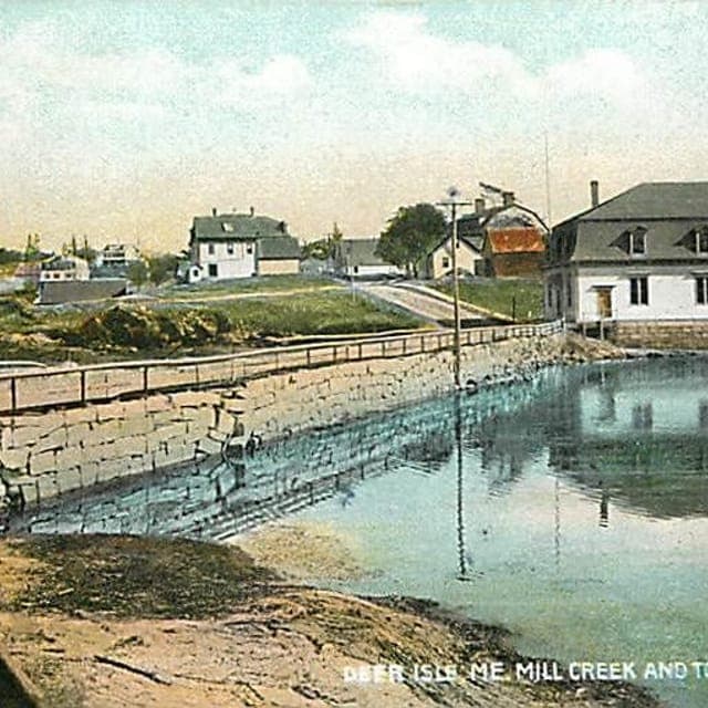
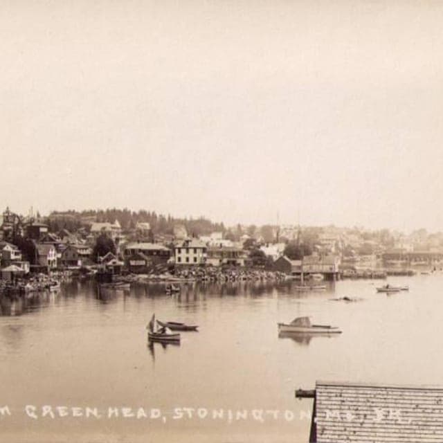
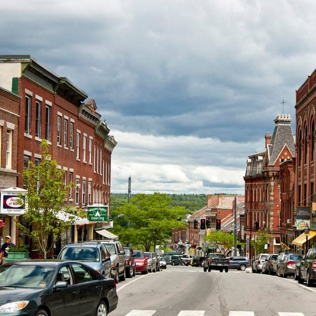
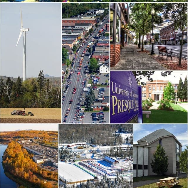
Top 10 Cities by Strategic Assessment in Maine

* Values derived from national, state, county, city and local statistics and may differ in a specific area. Last updated: 2026-10-11T02:46:04.000Z
Narrative content on this page is AI-generated and may contain mistakes. Verify any details that matter before acting on them.
ReloMaps may earn a commission from affiliate links at no extra cost to you.

