
Photo: Wikipedia
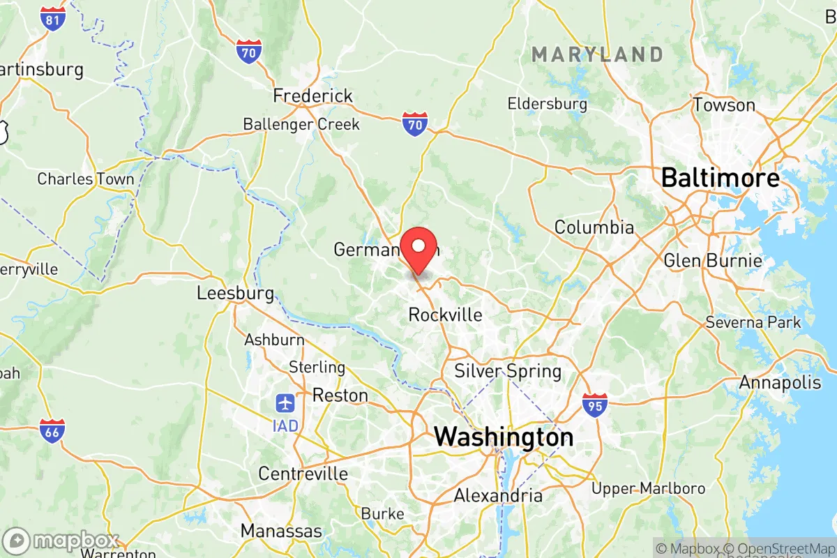
Demographics of Montgomery County
Affluence Level in Montgomery County
An upper-middle-class area. Household wealth, education levels, and homeownership run ahead of national benchmarks.
People of Montgomery County
Montgomery County, Maryland, is one of the most affluent, educated, and ethnically diverse jurisdictions in the United States, home to over 1 million residents. With a population that is 40.4% White, 20.6% Hispanic, 18.3% Black, 9.9% East/Southeast Asian, and 5.2% Indian (subcontinent), the county is a mosaic of post-1965 immigrant communities and established native-born populations. Its identity is shaped by a high concentration of federal government employees, technology and biotech workers, and a deeply entrenched suburban character that blends historic small towns with dense, transit-oriented development.
Settlement & growth (pre-1960)
Before European colonization, the land now called Montgomery County was inhabited by the Piscataway and Nacotchtank (Anacostan) peoples, Algonquian-speaking tribes who lived along the Potomac River and its tributaries. English settlers from Maryland and Virginia began arriving in the late 1600s, establishing tobacco plantations along the river. The county was formally created in 1776 from parts of Frederick County, named after General Richard Montgomery. The early population was overwhelmingly of English and Scots-Irish stock, with a small number of enslaved Africans who worked the tobacco fields. The county seat was established at Rockville, which remains the governmental and legal hub today.
Through the 19th century, Montgomery County remained a rural, agricultural area dominated by tobacco and later wheat. The arrival of the Baltimore and Ohio Railroad in the 1830s spurred the growth of towns like Gaithersburg and Germantown, which became market centers for local farmers. A notable German-speaking community settled in the Darnestown and Poolesville areas in the mid-1800s, drawn by affordable farmland and religious freedom. The Civil War deeply divided the county, which was a border state with both Union and Confederate sympathizers; the Battle of Poolesville in 1861 was a minor skirmish, but the region saw significant troop movements and guerrilla activity.
The 20th century brought transformative change. The federal government's expansion during the New Deal and World War II drew thousands of workers to the Washington, D.C., region. Montgomery County, with its proximity to the capital, became a prime destination for middle-class white families seeking suburban housing. The post-war boom saw the rapid development of communities like Bethesda, Chevy Chase, and Silver Spring, which were built on former farmland and transformed into bedroom communities for federal employees. The 1950s also saw the construction of the Capital Beltway (I-495), which further accelerated suburbanization. By 1960, the county's population had grown to over 340,000, and it was overwhelmingly white (over 90%) and native-born.
Modern era (post-1965)
The 1965 Hart-Cellar Immigration Act fundamentally reshaped Montgomery County. The law eliminated national-origin quotas and prioritized family reunification and skilled labor, opening the door to waves of immigrants from Asia, Africa, and Latin America. The county's proximity to Washington, D.C., with its international embassies, World Bank, and National Institutes of Health, made it a magnet for highly educated professionals. The first major post-1965 wave was East and Southeast Asian immigrants—Chinese, Korean, and Vietnamese—who settled in Rockville, Gaithersburg, and Germantown, often working in technology, research, and small businesses. Today, East/Southeast Asians make up 9.9% of the population, with a strong concentration in the North Potomac and Derwood areas.
Indian (subcontinent) immigration surged in the 1980s and 1990s, driven by the tech boom and the H-1B visa program. Indian professionals—engineers, doctors, and IT specialists—settled heavily in Bethesda, Potomac, and North Potomac, where they now constitute 5.2% of the county's population. The Indian community is among the wealthiest and most educated in the county, with a strong presence in the biotech corridor along I-270. Hispanic immigration, primarily from Central America (El Salvador, Guatemala, Honduras) and Mexico, began in the 1970s and accelerated in the 1990s. Hispanic residents now make up 20.6% of the population, with large enclaves in Wheaton, Langley Park, and Silver Spring. These communities are more diverse in socioeconomic status, ranging from day laborers to small business owners.
The Black population, which was historically small (under 5% in 1960), grew significantly after the Civil Rights era. African Americans moved from Washington, D.C., and the South into suburbs like Silver Spring, Burtonsville, and White Oak. Today, Black residents make up 18.3% of the population, with a mix of native-born African Americans and immigrants from Ethiopia, Nigeria, and the Caribbean. The county also saw domestic migration from the Rust Belt and California during the 2000s and 2010s, as professionals sought jobs in the federal government and the booming biotech sector. This in-migration has been largely absorbed into the existing suburban fabric, though it has driven up housing costs and intensified competition for school slots.
The future
Montgomery County is not homogenizing; rather, it is tribalizing into distinct, self-reinforcing enclaves. The Indian community in Potomac and North Potomac is growing and consolidating, with high-end housing, private schools, and cultural institutions. The Hispanic community in Wheaton and Langley Park is expanding and becoming more established, with second-generation residents moving into professional careers. The East/Southeast Asian community in Rockville and Gaithersburg is stable but aging, with younger generations often moving to newer suburbs in Frederick County or out of state. The White population, which is the oldest and most native-born, is declining as a share but remains the largest single group at 40.4%.
The foreign-born share of 14.2% is below the national average for major suburban counties, but the immigrant communities are highly visible and influential. The county's high college attainment rate (60.3%) is driven by both native-born professionals and immigrant families who prioritize education. The next 10-20 years will likely see continued growth in the Indian and Hispanic populations, with the Indian community becoming more assimilated into the professional mainstream and the Hispanic community diversifying internally (more South Americans and second-generation professionals). The Black population is expected to remain stable, with growth from African immigrants offsetting out-migration of native-born African Americans to the South. The county will likely become even more polarized by income and education, with wealthy enclaves in Bethesda and Potomac pulling away from working-class areas in Langley Park and Wheaton.
For someone moving in now, Montgomery County is a place of opportunity and complexity. It offers world-class schools, high-paying jobs, and rich cultural diversity, but also high housing costs, traffic congestion, and a political culture that leans heavily progressive. The county is not a melting pot but a mosaic of distinct communities, each with its own institutions and networks. New arrivals will find that success here depends on navigating these enclaves and leveraging the county's unparalleled educational and professional infrastructure.
* Values derived from national, state, county, city and local statistics and may differ in a specific area. Last updated: 2026-05-12T23:01:09.000Z
Narrative content on this page is AI-generated and may contain mistakes. Verify any details that matter before acting on them.
ReloMaps may earn a commission from affiliate links at no extra cost to you.