
Photo: Wikipedia
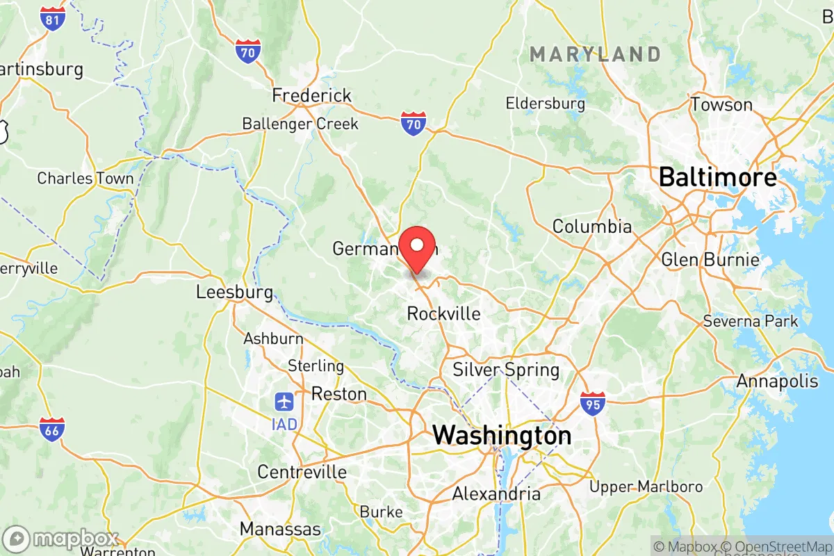
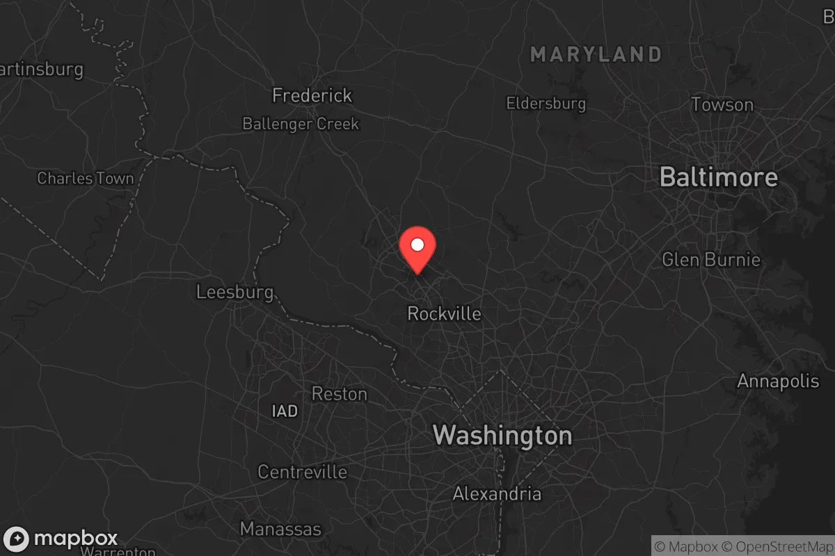
Strategic Assessment of Montgomery County
Multiple tactical vulnerabilities. Population density, target proximity, or disaster risk are likely compounding. A retreat property and exit planning is required.
What does the Strategic Assessment tell us?
Our Strategic Assessment grades tactical survivability of an area. Major population centers, military targets, fallout zones, natural disasters, and border exposure all drive risk — lower exposure means a more defensible position in a crisis.
This is heavily inspired by Joel Skousen's Strategic Relocation book. Highly recommended you checkout the book ($)What does this tell us?
Our Strategic Assessment grades tactical survivability of an area. Major population centers, military targets, fallout zones, natural disasters, and border exposure all drive risk — lower exposure means a more defensible position in a crisis.
This is heavily inspired by Joel Skousen's Strategic Relocation book. Highly recommended you checkout the book ($)Strategic Pillars

Key Distances
Strategic Assessment Analysis
Montgomery County, Maryland, presents a complex strategic picture for the conservative relocator seeking resilience. Its proximity to the nation’s capital offers unique economic and logistical advantages, but that same location places it directly in the crosshairs of any major disruption—whether from civil unrest, a mass casualty event, or a large-scale disaster. For the individual or family prioritizing preparedness, this county is less a sanctuary and more a high-value, high-risk buffer zone that demands a clear-eyed assessment of its strengths and vulnerabilities.
Geographic position and natural advantages for long-term stability
Montgomery County sits in a sweet spot of the Mid-Atlantic, roughly 20 miles northwest of Washington, D.C., and about 40 miles southwest of Baltimore. Its geography is defined by the rolling Piedmont plateau, which offers more defensible terrain than the flat coastal plain to the east. The county is bisected by the Potomac River along its southern border, providing a natural barrier and a reliable water source—critical for any long-term survival scenario. Key towns like Gaithersburg, Rockville, and Germantown are situated on higher ground, away from the floodplains of the Potomac and its tributaries. The area’s abundant hardwood forests and numerous parks—including the 93,000-acre Patuxent Research Refuge and Seneca Creek State Park—offer cover, game, and potential foraging grounds. For the prepper, this isn’t wilderness, but it’s far more sustainable than the concrete jungle of D.C. itself. The county’s well-maintained road network, including I-270 and I-495, provides multiple egress routes, though these same arteries become choke points in a crisis.
Risks, exposures, and proximity to fallout-relevant landmarks
The elephant in the room is Montgomery County’s proximity to the D.C. metro area, a primary target for any large-scale attack or civil unrest scenario. The county is home to several high-value federal facilities, including the National Institutes of Health (NIH) in Bethesda and the Food and Drug Administration (FDA) in Silver Spring. These are not just bureaucratic buildings; they are potential targets for sabotage or secondary effects from a strike on the capital. The Fort Detrick biological research facility in neighboring Frederick County is another concern—any accident or attack there could have downstream consequences for the region. Additionally, the county’s dense suburban population—over 1 million residents—means that a mass casualty event in D.C. would trigger a massive, chaotic exodus northward, clogging I-495 and I-270. For the conservative relocator, the risk isn’t just direct fallout; it’s the cascading effects of a gridlocked, panicked population. The county’s reliance on the regional power grid and centralized water treatment plants (like the Potomac Water Treatment Plant in Great Falls) creates single points of failure. A coordinated cyberattack or physical sabotage could leave large swaths of the county without water or electricity for days or weeks.
Practical resilience for a relocator: food, water, energy, and defensibility
For the individual or family looking to hunker down, Montgomery County offers a mixed bag. On the positive side, the county has a robust local food scene—farmers’ markets in Olney, Poolesville, and Laytonsville provide access to fresh produce, meat, and dairy from nearby farms. The Agricultural Reserve in the county’s northern and western sections preserves over 93,000 acres of farmland, which could be a lifeline for barter and local food production in a prolonged crisis. Water is less of a concern if you’re near the Potomac or one of its tributaries, but purification gear is non-negotiable—municipal supplies are vulnerable. Energy resilience is a weak point. The county is heavily dependent on the PJM Interconnection grid, and while some rural properties have solar or generator setups, most suburban homes lack off-grid capability. Defensibility varies wildly. A single-family home on a few acres in Barnesville or Dickerson offers far better security than a townhouse in a Rockville subdivision. The county’s police presence is strong, but in a SHTF scenario, law enforcement will be stretched thin, focused on protecting government assets and critical infrastructure. For the prepper, the key is to secure a property with good sightlines, multiple exits, and a reliable water source—preferably well water—and to build a community of like-minded neighbors. The county’s liberal political leanings mean that overt preparedness might draw unwanted attention, so discretion is advised.
The overall strategic picture for Montgomery County is one of calculated risk. It is not a remote survivalist haven, nor is it a doomed urban kill box. For the conservative relocator who values economic opportunity, access to top-tier medical facilities (like Suburban Hospital in Bethesda), and a strong school system, it offers a viable base—provided you are willing to invest in redundancy, situational awareness, and a solid exit plan. The county’s greatest strength is its location as a buffer zone: close enough to the corridors of power to benefit from resources and information, but far enough to avoid the worst of a direct hit. Its greatest weakness is the density of population and infrastructure that makes it a target for cascading failures. If you’re looking for a place to ride out the storm, Montgomery County can work—but only if you treat it as a forward operating base, not a final redoubt. Prepare for the worst, and you might just find it’s one of the more resilient spots in the Mid-Atlantic.
* Values derived from national, state, county, city and local statistics and may differ in a specific area. Last updated: 2026-05-12T23:01:09.000Z
Narrative content on this page is AI-generated and may contain mistakes. Verify any details that matter before acting on them.
ReloMaps may earn a commission from affiliate links at no extra cost to you.