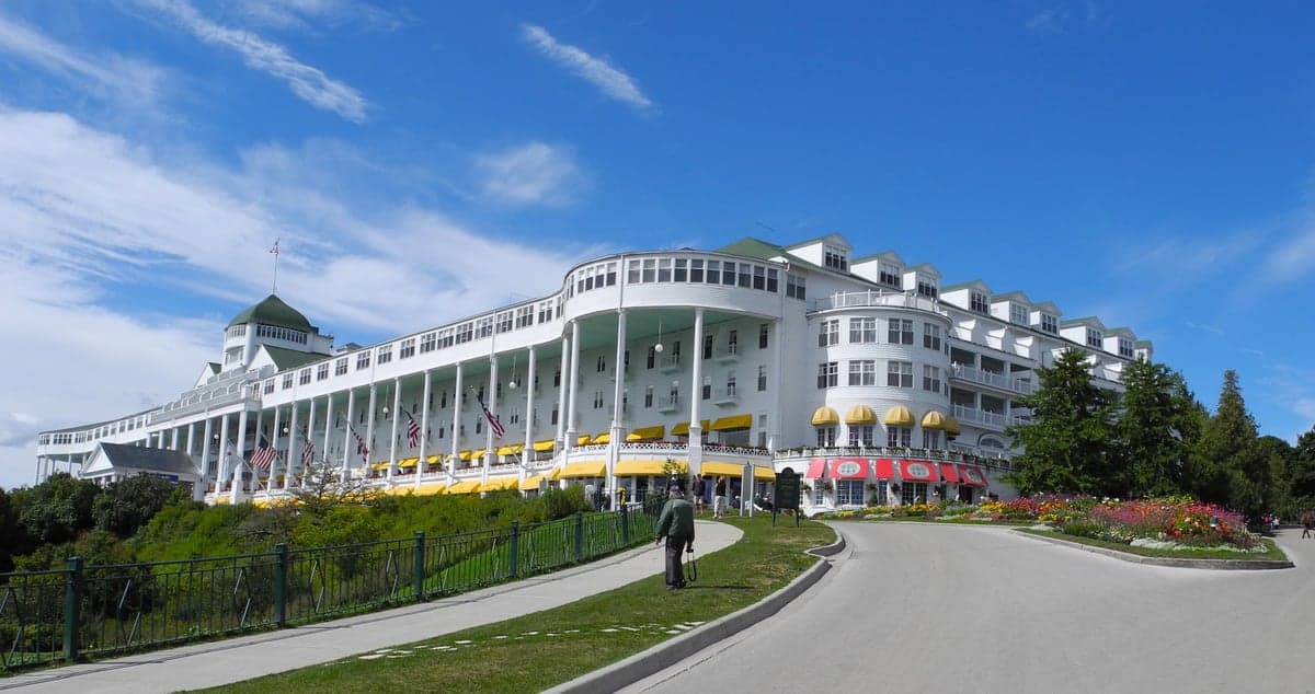
Photo: Wikipedia
Strategic Assessment of Mackinac County
Strong survivability profile. Good buffer from population centers, with manageable environmental and tactical risks.
What does the Strategic Assessment tell us?
Our Strategic Assessment grades tactical survivability of an area. Major population centers, military targets, fallout zones, natural disasters, and border exposure all drive risk — lower exposure means a more defensible position in a crisis.
This is heavily inspired by Joel Skousen's Strategic Relocation book. Highly recommended you checkout the book ($)What does this tell us?
Our Strategic Assessment grades tactical survivability of an area. Major population centers, military targets, fallout zones, natural disasters, and border exposure all drive risk — lower exposure means a more defensible position in a crisis.
This is heavily inspired by Joel Skousen's Strategic Relocation book. Highly recommended you checkout the book ($)Strategic Pillars

Key Distances
Strategic Assessment Analysis
Mackinac County, Michigan, occupies a strategic position in the Upper Peninsula that offers a compelling mix of geographic isolation and practical resilience for those prioritizing disaster readiness and self-sufficiency. Its location along the Straits of Mackinac provides access to the largest freshwater system in the world, while its distance from major population centers and high-value industrial targets significantly reduces exposure to the most severe man-made risks. For a relocator thinking seriously about long-term stability, this area presents a defensible, resource-rich environment that balances remoteness with essential infrastructure.
Geographic position and natural advantages for long-term stability
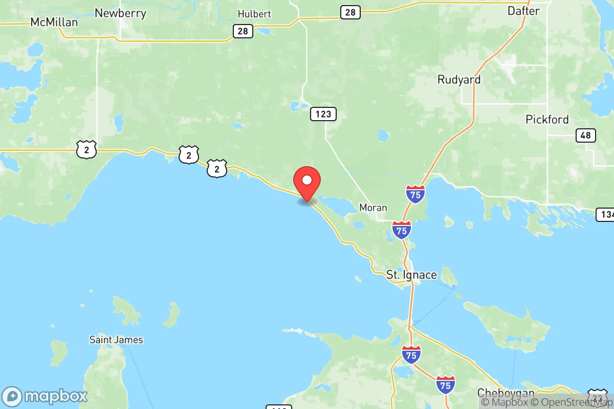
Mackinac County sits at the crossroads of Lake Michigan and Lake Huron, with the Mackinac Bridge connecting the Upper and Lower Peninsulas. The county seat, St. Ignace, is the primary gateway, but the area's true strength lies in its interior communities like Cedarville, Engadine, and Naubinway, which are set back from the bridge corridor and offer greater seclusion. The county's 1,022 square miles of land are heavily forested, with the Hiawatha National Forest covering large portions, providing natural cover and a buffer against external disruption. The region's low population density—roughly 10,000 residents spread across a vast area—means fewer people competing for resources in a crisis. The abundance of surface water, including the St. Marys River and numerous inland lakes, ensures a reliable freshwater supply independent of municipal systems. The cold climate also naturally limits the spread of airborne contaminants and reduces the viability of many biological threats, a factor often overlooked in resilience planning.
Risks, exposures, and proximity to fallout-relevant landmarks
The primary risk for Mackinac County is its proximity to the Mackinac Bridge, a critical piece of national infrastructure that connects the two peninsulas. While the bridge itself is not a high-value military target, its destruction or closure during a crisis would severely limit movement and supply lines. The county is also within 50 miles of the St. Marys River and the Soo Locks at Sault Ste. Marie, which are a strategic chokepoint for Great Lakes shipping and a potential target for state-level adversaries. However, the county is far removed from the major fallout-relevant landmarks that plague other regions. There are no nuclear power plants, major military bases, oil refineries, or large chemical facilities within the county. The nearest significant industrial targets are the oil refineries in the Detroit area, roughly 300 miles southeast, and the Duluth-Superior port complex, about 250 miles west. This distance means that fallout from a major strike on those targets would be significantly diluted by the time it reached Mackinac County, if it reached it at all. The prevailing westerly winds also push airborne contaminants away from the county toward Lake Huron and Ontario, further reducing exposure. Natural risks are limited to harsh winters, with heavy lake-effect snow and occasional ice storms that can disrupt power and travel, but these are manageable with proper preparation.
Practical resilience for a relocator: food, water, energy, and defensibility
For a relocator focused on self-sufficiency, Mackinac County offers a strong foundation. The freshwater supply is exceptional, with the Great Lakes providing an effectively infinite source of water that requires only basic filtration or boiling. The county's forests and shoreline also support hunting, fishing, and foraging, with white-tailed deer, small game, and Lake Huron's fish populations providing a reliable protein source. The growing season is short—roughly 100 to 120 frost-free days—but cold-hardy crops like potatoes, root vegetables, and certain grains can be cultivated in the sandy loam soils found in areas like Moran Township and Brevort Township. Energy resilience is more challenging. The county is connected to the regional grid via lines that run along the US-2 corridor, which are vulnerable to ice storms and physical disruption. However, the prevalence of forested land makes wood a viable heating and cooking fuel, and the region's steady winds along the Lake Michigan shoreline offer potential for small-scale wind generation. Solar is less effective in winter due to heavy cloud cover and short daylight hours, but a hybrid system with battery storage is feasible. Defensibility is a major advantage. The county's geography—bounded by water on three sides and dense forest inland—creates natural chokepoints. The only major road access is via US-2 from the west and I-75 from the south, both of which can be monitored and controlled with minimal effort. The interior communities like Gould City and Pointe aux Chenes are accessible only by secondary roads, making them highly defensible against external threats. The local population is small and largely self-reliant, with a strong tradition of hunting, fishing, and off-grid living that reduces dependence on external supply chains.
The overall strategic picture for Mackinac County is one of balanced resilience. It avoids the extreme risks of coastal or urban areas while offering abundant natural resources and a defensible geography. The primary vulnerabilities—winter weather, bridge dependency, and proximity to the Soo Locks—are manageable with proper planning and do not outweigh the advantages of isolation, freshwater access, and low population density. For a relocator willing to invest in winter preparedness, alternative energy, and a modest food production system, Mackinac County provides a stable, low-risk environment that supports long-term self-sufficiency without the paranoia that often accompanies disaster-focused relocation. It is not a fortress, but it is a sanctuary—one that rewards preparation and common sense over alarmism.

* Values derived from national, state, county, city and local statistics and may differ in a specific area. Last updated: 2026-10-20T16:00:49.000Z
Narrative content on this page is AI-generated and may contain mistakes. Verify any details that matter before acting on them.
ReloMaps may earn a commission from affiliate links at no extra cost to you.

