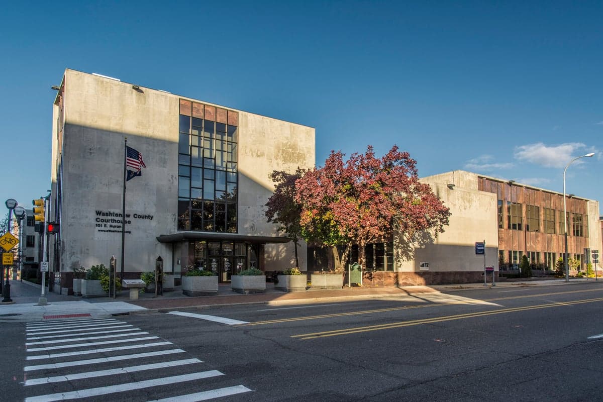
Photo: Wikipedia
Strategic Assessment of Washtenaw County
Meaningful friction. Expect exposure to either population pressure, blast zones, or natural disaster risk. Consider buying a retreat property.
What does the Strategic Assessment tell us?
Our Strategic Assessment grades tactical survivability of an area. Major population centers, military targets, fallout zones, natural disasters, and border exposure all drive risk — lower exposure means a more defensible position in a crisis.
This is heavily inspired by Joel Skousen's Strategic Relocation book. Highly recommended you checkout the book ($)What does this tell us?
Our Strategic Assessment grades tactical survivability of an area. Major population centers, military targets, fallout zones, natural disasters, and border exposure all drive risk — lower exposure means a more defensible position in a crisis.
This is heavily inspired by Joel Skousen's Strategic Relocation book. Highly recommended you checkout the book ($)Strategic Pillars

Key Distances
Strategic Assessment Analysis
Washtenaw County offers a compelling mix of strategic depth and practical resilience for relocators prioritizing disaster readiness and self-sufficiency, though its position in Southeast Michigan demands a clear-eyed assessment of both advantages and vulnerabilities. Anchored by Ann Arbor but extending into rural townships like Dexter, Chelsea, and Manchester, the county benefits from being far enough from major coastal targets and heavy industrial corridors to avoid primary fallout zones, yet close enough to Lake Erie and the Detroit River to access Great Lakes shipping and water resources. For a conservative-leaning individual or family weighing long-term security, Washtenaw County presents a nuanced picture: strong natural buffers and a diversified local economy, but real exposure to regional infrastructure risks and the gravitational pull of Detroit’s metropolitan complex.
Geographic position and natural advantages for long-term security
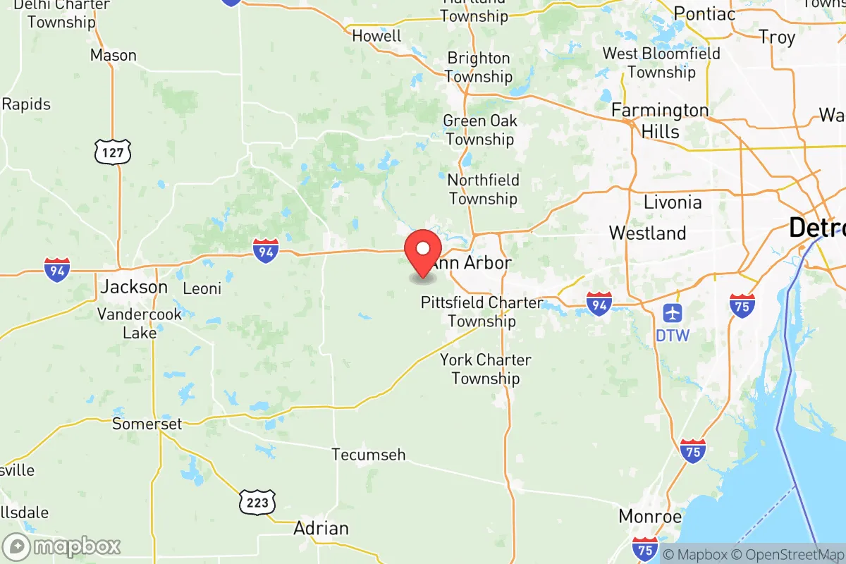
Washtenaw County sits roughly 40 miles west of Detroit and 30 miles north of the Ohio border, placing it in a relative "cold spot" between the major population and industrial centers of the Midwest. The county’s terrain is gently rolling, with significant forest cover in the western and northern townships—particularly around the Waterloo State Recreation Area and Pinckney State Recreation Area—which provides natural cover, watershed protection, and defensible positions for rural homesteads. The Huron River runs through the heart of the county, feeding several inland lakes (Whitmore Lake, Ford Lake, Baseline Lake) that offer reliable surface water sources independent of municipal systems. Unlike counties closer to Lake Erie’s shoreline or the I-75 corridor, Washtenaw avoids the direct blast and fallout risks associated with Toledo’s oil refineries or Detroit’s heavy manufacturing zones. The county’s position also places it within a two-hour drive of Fort Custer Training Center (a Michigan National Guard base in adjacent Calhoun County) and Selfridge Air National Guard Base (northeast of Detroit), offering potential security infrastructure without the direct targeting risk of an active major military installation.
Risks, exposures, and proximity to fallout-relevant landmarks
While Washtenaw County avoids the highest-risk zones, it is not immune to secondary threats. The county lies within 50 miles of the Detroit Metropolitan Wayne County Airport and the Detroit River rail and shipping corridor, both of which are plausible secondary targets in a conflict scenario. The Enbridge Line 5 pipeline crosses the Straits of Mackinac to the north, but Washtenaw’s natural gas and petroleum supply lines run through the region, making pipeline disruptions a realistic concern. More immediately, the county’s proximity to Ann Arbor’s University of Michigan research complex—a hub for federal biomedical and defense contracts—could elevate its profile in a cyber or EMP attack scenario. Natural risks are moderate: tornadoes are possible (the county sits in the southern edge of Michigan’s tornado alley), and severe winter storms can disrupt power and transport for days. Flooding along the Huron River and its tributaries is a localized hazard, particularly in low-lying areas near Ypsilanti and Dexter. The county’s overall risk profile is best described as moderate-low for direct kinetic threats, but moderate for infrastructure interdiction and secondary fallout from Detroit’s collapse.
Practical resilience for a relocator: food, water, energy, and defensibility
For a relocator serious about self-sufficiency, Washtenaw County offers strong fundamentals. The western half of the county—particularly around Manchester and Bridgewater Township—features large agricultural parcels, active farm markets, and a growing network of small-scale organic and conventional farms. Soil quality is generally good, with the county’s glacial till supporting corn, soybeans, and hay, as well as orchard crops in the more sheltered valleys. Water access is above average: the Huron River and its tributaries provide year-round flow, and many rural properties have private wells with depths of 80–150 feet, reducing dependence on municipal treatment plants. Energy resilience is mixed: DTE Energy and Consumers Energy serve the county, with overhead lines vulnerable to ice storms and wind events. However, the county’s relatively low population density outside Ann Arbor means that solar and small-scale wind installations are feasible on parcels of 5 acres or more. Defensibility is best in the western townships, where road networks are sparse and choke points exist at river crossings and state highway junctions (e.g., M-52 and M-106). The county’s sheriff’s office and local police departments maintain a visible presence, but rural response times can exceed 20 minutes, making personal security planning essential. For a relocator, the sweet spot is likely a 10–40 acre parcel in western Washtenaw County, balancing access to Ann Arbor’s medical and supply infrastructure with the space and isolation needed for long-term resilience.
Overall, Washtenaw County represents a balanced strategic option for the conservative relocator who wants proximity to Great Lakes resources and regional medical infrastructure without the direct targeting risk of Detroit or Toledo. Its natural advantages—forest cover, surface water, agricultural land—are real but require active stewardship; its risks—pipeline corridors, research complex exposure, winter storms—are manageable with proper planning. The county is not a bug-out location for the prepper seeking total isolation, but it is a viable long-term base for a family willing to invest in off-grid systems, community networks, and situational awareness. For those who can afford the land and tolerate the occasional Michigan winter, Washtenaw County offers a defensible, resource-rich foothold in the Midwest’s strategic middle ground.

* Values derived from national, state, county, city and local statistics and may differ in a specific area. Last updated: 2026-08-08T15:47:25.000Z
Narrative content on this page is AI-generated and may contain mistakes. Verify any details that matter before acting on them.
ReloMaps may earn a commission from affiliate links at no extra cost to you.

