Photo: Wikipedia
Strategic Assessment of Milwaukie, OR
Multiple tactical vulnerabilities. Population density, target proximity, or disaster risk are likely compounding. A retreat property and exit planning is required.
What does the Strategic Assessment tell us?
Our Strategic Assessment grades tactical survivability of an area. Major population centers, military targets, fallout zones, natural disasters, and border exposure all drive risk — lower exposure means a more defensible position in a crisis.
This is heavily inspired by Joel Skousen's Strategic Relocation book. Highly recommended you checkout the book ($)What does this tell us?
Our Strategic Assessment grades tactical survivability of an area. Major population centers, military targets, fallout zones, natural disasters, and border exposure all drive risk — lower exposure means a more defensible position in a crisis.
This is heavily inspired by Joel Skousen's Strategic Relocation book. Highly recommended you checkout the book ($)Strategic Pillars

Key Distances
Regional Safe Places
Below is our recommended "safe zones" in Oregon and the surrounding area based on our strategic heuristics. For most people, it's unrealistic to live in a “safe zone” full-time due to work, family or other personal reasons. They tend to be more rural. However, many of these areas are perfect for second homes and retreat properties that double as a vacation home or even a short-term rental.


Important Note: For informational purposes only. This does not mean nothing bad ever happens in the green zones. Please use common sense. This is based on public data and modeled with AI. We tried to take a conservative approach but mistakes happen. We update this regularly as new information becomes available.
Solar Generator Recommendations
Backup power matters more here than in safer locations. We've picked three solar generators across budgets and capacity tiers — start with the budget unit if you only need a few essentials, or step up if you want to run a fridge and HVAC for days at a time.

Jackery Portable Power Station Explorer 300
Budget OptionPower on the Go: Weighing only 11 lbs, it's convenient to set up and store with book-sized foldable solar panels

BLUETTI Portable Power Station AC180
Designed for both indoor and outdoor scenarios, AC180 is highly capable as it has a robost capacity and continuous output power.

EF ECOFLOW DELTA Pro Ultra Power Station
Upgraded PickEcoFlow DELTA Pro Ultra is a whole-home energy system designed to grow with your family. Integrated with the Smart Home Panel 2, it scales to meet your evolving energy needs — keeping your home powered, intelligent, and secure through every stage of life.
We earn a commission, at no additional cost to you.
Strategic Assessment Analysis
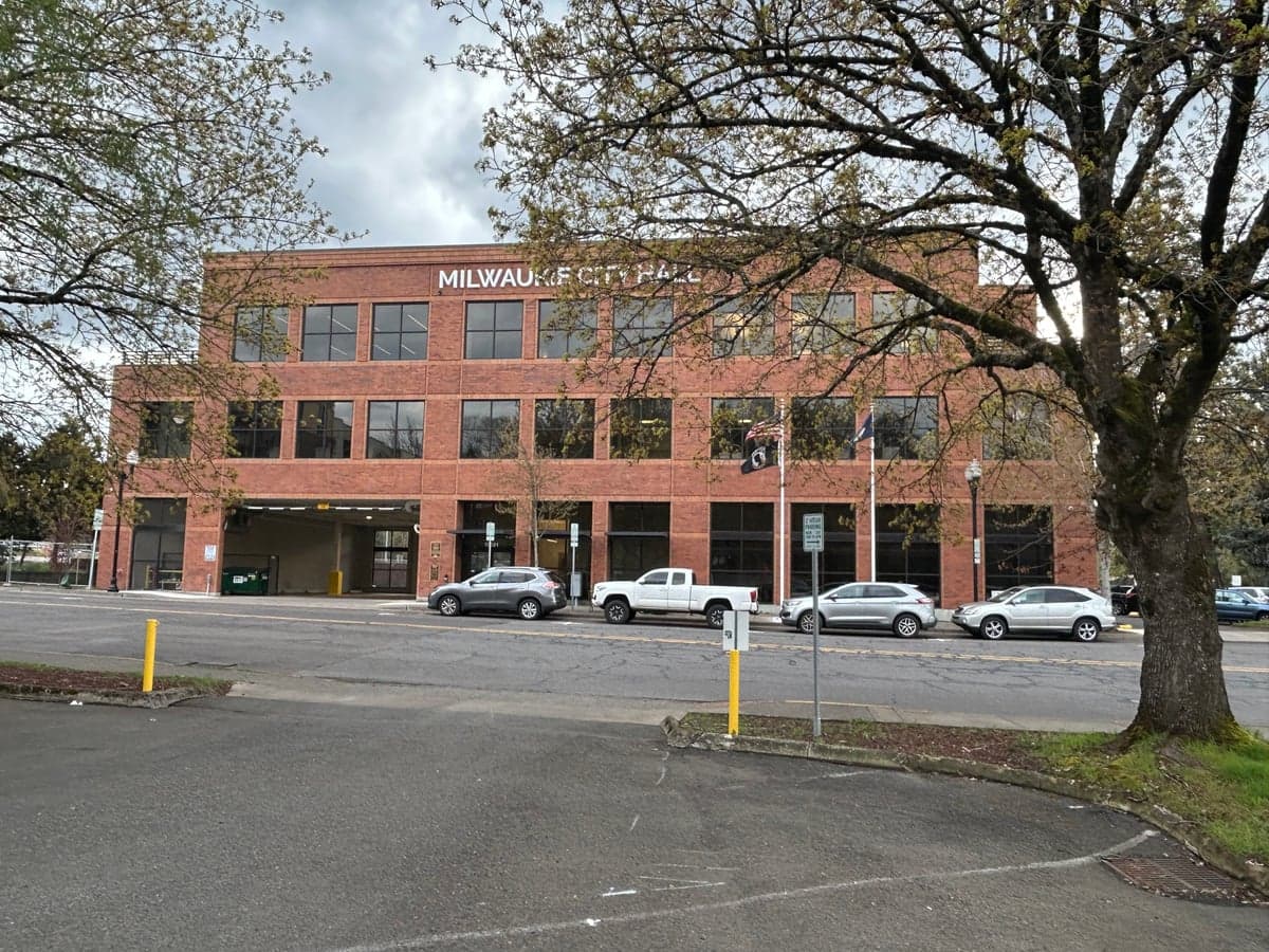
Milwaukie, Oregon, presents a complex strategic picture for the conservative prepper. Its location just south of Portland offers proximity to urban resources, but that same proximity is its greatest vulnerability in a collapse scenario. The city’s resilience hinges on its position as a suburban buffer zone—close enough to monitor threats, far enough to offer a brief tactical window for relocation, but not defensible enough to ride out a major event in place. For the single individual or family weighing relocation, Milwaukie is best viewed as a temporary staging ground, not a long-term redoubt.
Geographic position and natural advantages for a prepper
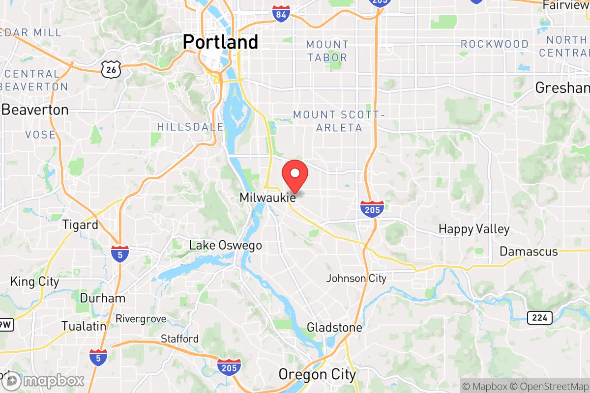
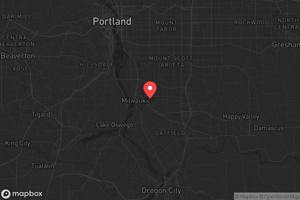
Milwaukie sits on the east bank of the Willamette River, roughly 10 miles south of downtown Portland. Its position in the Willamette Valley gives it mild, wet winters and dry summers—good for year-round gardening but problematic for water security (more on that below). The city is ringed by the Portland metropolitan area to the north and west, with the more rural Clackamas County stretching east and south. The Clackamas River, a major tributary of the Willamette, runs just east of town and is a viable water source for those with proper filtration. The surrounding terrain is mostly flat to gently rolling, with the Cascade foothills beginning about 15 miles east. This means no natural high-ground defensibility within the city limits. However, the Mount Hood National Forest, a 45-minute drive east, offers true backcountry retreat potential—if you have the vehicle and gear to reach it before roads clog. The Willamette River itself is navigable by small craft, providing an alternative evacuation route north or south, though it’s heavily trafficked in normal times. For the prepper, Milwaukie’s best natural asset is its position as a chokepoint between Portland’s urban core and the rural escape routes of Highway 224 and Highway 212 heading east into the Cascades.
Risks, exposures, and proximity to fallout-relevant landmarks
Milwaukie’s primary strategic liability is its location within the Portland metro blast zone. The city is within 10 miles of Portland International Airport (PDX), a likely target for any air-delivered nuclear or EMP attack. It’s also within 15 miles of the Port of Portland’s industrial terminals, including fuel depots and rail yards that would be secondary targets. The Willamette River corridor itself is a concentration of bridges, rail lines, and chemical storage facilities—any of which could become fallout sources or choke points during an evacuation. Milwaukie is directly downwind of Portland’s urban core under prevailing westerly winds, meaning fallout from a Portland strike would drift over the city within hours. The nearby Clackamas Town Center and surrounding retail zones would become looting magnets during civil unrest, drawing criminal elements from Portland proper. The city’s population density of roughly 4,000 people per square mile means you cannot rely on rural anonymity here—neighbors will know your comings and goings, and any stockpiling will be noticed. Earthquake risk is moderate (the Cascadia subduction zone is 100 miles offshore), but the area’s soil is prone to liquefaction near the river, which could knock out roads and utilities for weeks. For the prepper, Milwaukie’s greatest exposure is its lack of defensible perimeter and its position as a natural funnel for Portland evacuees heading east—you’ll be competing with thousands of others for the same escape routes.
Practical resilience for a relocator: food, water, energy, and defensibility
For the single individual or family planning to stay put in Milwaukie for a short-term crisis (under 30 days), the city offers some practical advantages. Water is the biggest win: the Clackamas River is a reliable, year-round source, and the city’s municipal water comes from the Bull Run Watershed (shared with Portland), which is gravity-fed and less vulnerable to power loss. But in a prolonged grid-down scenario, the treatment plants will fail, and you’ll need a high-quality filter (Berkey or Sawyer) and chemical treatment. Food security is poor—Milwaukie has no significant agricultural land within city limits, and the surrounding suburbs are mostly residential. You’d need to rely on stored supplies or barter with rural neighbors to the east. Energy resilience is moderate: the area gets 200+ sunny days per year, making solar panels viable for a small home system, but tree cover is heavy in older neighborhoods, so rooftop solar may be shaded. Natural gas lines are common, but they’ll go down with the grid. Defensibility is the weakest link. Milwaukie is a typical suburban grid of cul-de-sacs and arterials—easy to approach, hard to secure. Your best bet is a home on a corner lot with clear sightlines, or a property backing onto a greenway or the river for a potential escape route. Community resilience is a double-edged sword: the city has active neighborhood associations and a strong sense of local identity, which could foster mutual aid—but also means outsiders (you) may be viewed with suspicion. For the prepper, the practical takeaway is that Milwaukie works as a 30-day bug-in location if you’ve prepped water and food, but it’s not a long-term survival site. You’ll need a secondary retreat in the Cascades or eastern Oregon for any event lasting longer than a month.
The overall strategic picture for Milwaukie is one of calculated risk. It’s not a place to make a stand, but it can serve as a forward operating base for monitoring Portland’s collapse and executing a timely evacuation east. The city’s best use for the conservative prepper is as a rental or starter home while you scout and secure a more defensible property in rural Clackamas County or beyond. If you’re already here, your priority should be building a go-bag and vehicle kit for a 45-minute drive to the Mount Hood foothills, and establishing a relationship with a landowner east of Estacada or Sandy. Milwaukie’s proximity to Portland is a liability, not an asset, in any serious SHTF scenario. Treat it as a stepping stone, not a destination.
* Values derived from national, state, county, city and local statistics and may differ in a specific area. Last updated: 2026-04-22T21:33:05.000Z
Narrative content on this page is AI-generated and may contain mistakes. Verify any details that matter before acting on them.
ReloMaps may earn a commission from affiliate links at no extra cost to you.