
Strategic Assessment of Clay County
Strong survivability profile. Good buffer from population centers, with manageable environmental and tactical risks.
What does the Strategic Assessment tell us?
Our Strategic Assessment grades tactical survivability of an area. Major population centers, military targets, fallout zones, natural disasters, and border exposure all drive risk — lower exposure means a more defensible position in a crisis.
This is heavily inspired by Joel Skousen's Strategic Relocation book. Highly recommended you checkout the book ($)What does this tell us?
Our Strategic Assessment grades tactical survivability of an area. Major population centers, military targets, fallout zones, natural disasters, and border exposure all drive risk — lower exposure means a more defensible position in a crisis.
This is heavily inspired by Joel Skousen's Strategic Relocation book. Highly recommended you checkout the book ($)Strategic Pillars

Key Distances
Strategic Assessment Analysis
Clay County, Minnesota, offers a strategic relocation option that balances Midwestern stability with genuine geographic insulation, making it a serious consideration for those prioritizing long-term preparedness and community resilience. Located in the northwest corner of the state along the Red River, the county avoids the density and target profile of major metropolitan areas while still providing access to essential infrastructure and supply chains. For a conservative-leaning individual or family assessing risk from civil unrest, economic disruption, or large-scale disasters, Clay County presents a defensible, resource-rich environment that is far enough from primary fallout zones to offer breathing room, yet close enough to regional hubs to maintain practical connectivity.
Geographic position and natural advantages for long-term stability
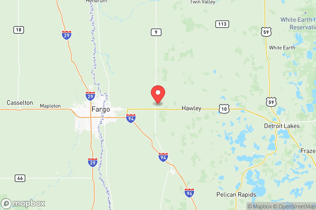
Clay County sits in a unique transitional zone between the fertile Red River Valley and the more wooded, lake-dotted terrain to the east. The county seat, Moorhead, anchors the area as part of the Fargo-Moorhead metropolitan area, which provides a regional population center of roughly 250,000 people. This is a double-edged sword in preparedness terms: the metro offers hospitals, supply chains, and employment, but it is not so large that it becomes a primary target or a source of uncontrollable unrest. The county's position along the Red River gives it access to abundant surface water, a critical resource for any long-term scenario. The surrounding agricultural land—primarily wheat, soybeans, and sugar beets—means that local food production is not just possible but already the dominant economic activity. For a relocator, this translates to a built-in network of farms, co-ops, and farmers' markets that can sustain a community even if national supply chains falter. The flat, open terrain is not ideal for defensive concealment, but it does provide clear sightlines and limits the ability of any hostile force to approach undetected. The county's distance from the Canadian border (about 30 miles north of Moorhead) also offers a potential secondary egress route if conditions deteriorate further south.
Risks, exposures, and proximity to fallout-relevant landmarks
No location is without risk, and Clay County has specific exposures that a strategic relocator must weigh. The most significant is the county's proximity to the Fargo-Moorhead metro itself. While not a primary nuclear target, any major disruption to the region's rail or highway infrastructure—particularly Interstate 94 and U.S. Highway 75, which intersect in Moorhead—could create choke points and complicate evacuation or resupply. The county is also within roughly 200 miles of the Minot Air Force Base in North Dakota, a major strategic asset that houses nuclear-capable bombers and missile fields. In a worst-case scenario, Minot is a high-priority target, and while Clay County is outside the immediate blast radius, fallout patterns from a strike on Minot could affect the region depending on wind direction. Similarly, the oil refineries and pipeline infrastructure in eastern North Dakota and western Minnesota, including the Pine Bend Refinery near the Twin Cities (about 250 miles southeast), represent industrial targets that could generate secondary effects like fuel shortages or environmental contamination. On the positive side, Clay County has no major military bases, no nuclear power plants, and no large-scale chemical facilities within its borders. The nearest nuclear plant is the Prairie Island facility near Red Wing, Minnesota, over 300 miles away—well outside any credible danger zone. The county's flat, agricultural landscape also means fewer natural disaster risks like wildfires or landslides, though spring flooding along the Red River is a recurring and serious concern. The 1997 and 2009 floods caused significant damage in Moorhead and surrounding areas, so any property purchase must account for floodplain maps and elevation.
Practical resilience for a relocator: food, water, energy, and defensibility
For the individual or family looking to establish a self-sufficient homestead, Clay County offers strong fundamentals. Water access is excellent: the Red River and its tributaries, including the Buffalo River and Wild Rice River, provide surface water, and the region's aquifer is generally reliable for well drilling. Most rural properties in the county already have private wells, and the water table is shallow enough that hand pumps or solar-powered pumps are viable backup options. Food production is the county's standout advantage. The surrounding farmland is some of the most productive in the nation, and smaller towns like Hawley, Glyndon, and Barnesville host grain elevators, seed suppliers, and farm equipment dealers that can support small-scale agriculture. Local livestock operations are common, and hunting for deer, waterfowl, and small game is accessible in the county's wildlife management areas. Energy resilience is more mixed. The grid is reliable under normal conditions, but rural areas are vulnerable to outages during winter storms. Solar potential is moderate—the region gets about 200 sunny days per year, comparable to much of the Upper Midwest—but wind is a consistent resource. Small-scale wind turbines are a practical investment here, and many farms already use them. Wood heating is also viable, with hardwood stands in the eastern part of the county. Defensibility is the weakest link. The open terrain offers little natural cover, and a determined group could approach from any direction. However, the county's low population density—roughly 65,000 people spread over 1,050 square miles—means that a well-chosen rural property with a long driveway, good sightlines, and a defensible perimeter can be made secure. The local culture is heavily conservative, with a strong emphasis on self-reliance, hunting, and community mutual aid. The Clay County Sheriff's Office is well-regarded, and the area has a low violent crime rate, which reduces the baseline threat of civil unrest.
The overall strategic picture for Clay County is one of calculated trade-offs. It offers genuine advantages in water, food, and distance from primary targets, but it is not a remote mountain redoubt. The Fargo-Moorhead metro provides essential services and economic opportunity, but it also introduces population density and infrastructure dependencies that a purist prepper might avoid. For the conservative relocator who wants to stay connected to a functioning community while maintaining the ability to withdraw to a self-sufficient property, Clay County is a strong candidate. The key is to buy land outside the floodplain, invest in alternative energy and water systems, and build relationships with the local farming and hunting community. The county's position in the Red River Valley gives it a buffer from the worst of coastal and urban collapse scenarios, while its agricultural base ensures that even in a prolonged disruption, the people here will eat before most of the country does. That alone makes it worth a serious look.
* Values derived from national, state, county, city and local statistics and may differ in a specific area. Last updated: 2026-05-09T01:57:22.000Z
Narrative content on this page is AI-generated and may contain mistakes. Verify any details that matter before acting on them.
ReloMaps may earn a commission from affiliate links at no extra cost to you.