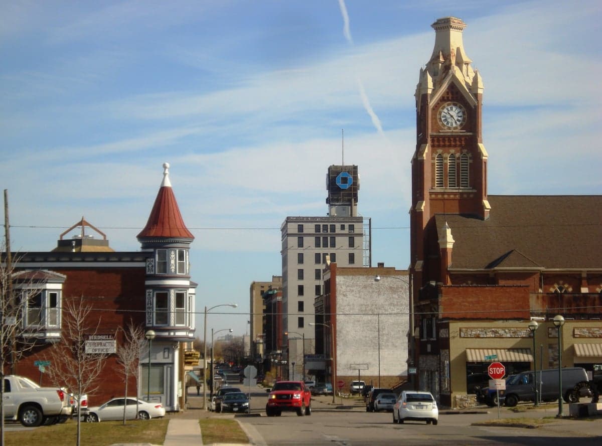
Photo: Wikipedia
Strategic Assessment of Moline, IL
Meaningful friction. Expect exposure to either population pressure, blast zones, or natural disaster risk. Consider buying a retreat property.
What does the Strategic Assessment tell us?
Our Strategic Assessment grades tactical survivability of an area. Major population centers, military targets, fallout zones, natural disasters, and border exposure all drive risk — lower exposure means a more defensible position in a crisis.
This is heavily inspired by Joel Skousen's Strategic Relocation book. Highly recommended you checkout the book ($)What does this tell us?
Our Strategic Assessment grades tactical survivability of an area. Major population centers, military targets, fallout zones, natural disasters, and border exposure all drive risk — lower exposure means a more defensible position in a crisis.
This is heavily inspired by Joel Skousen's Strategic Relocation book. Highly recommended you checkout the book ($)Strategic Pillars

Key Distances
Regional Safe Places
Below is our recommended "safe zones" in Illinois and the surrounding area based on our strategic heuristics. For most people, it's unrealistic to live in a “safe zone” full-time due to work, family or other personal reasons. They tend to be more rural. However, many of these areas are perfect for second homes and retreat properties that double as a vacation home or even a short-term rental.
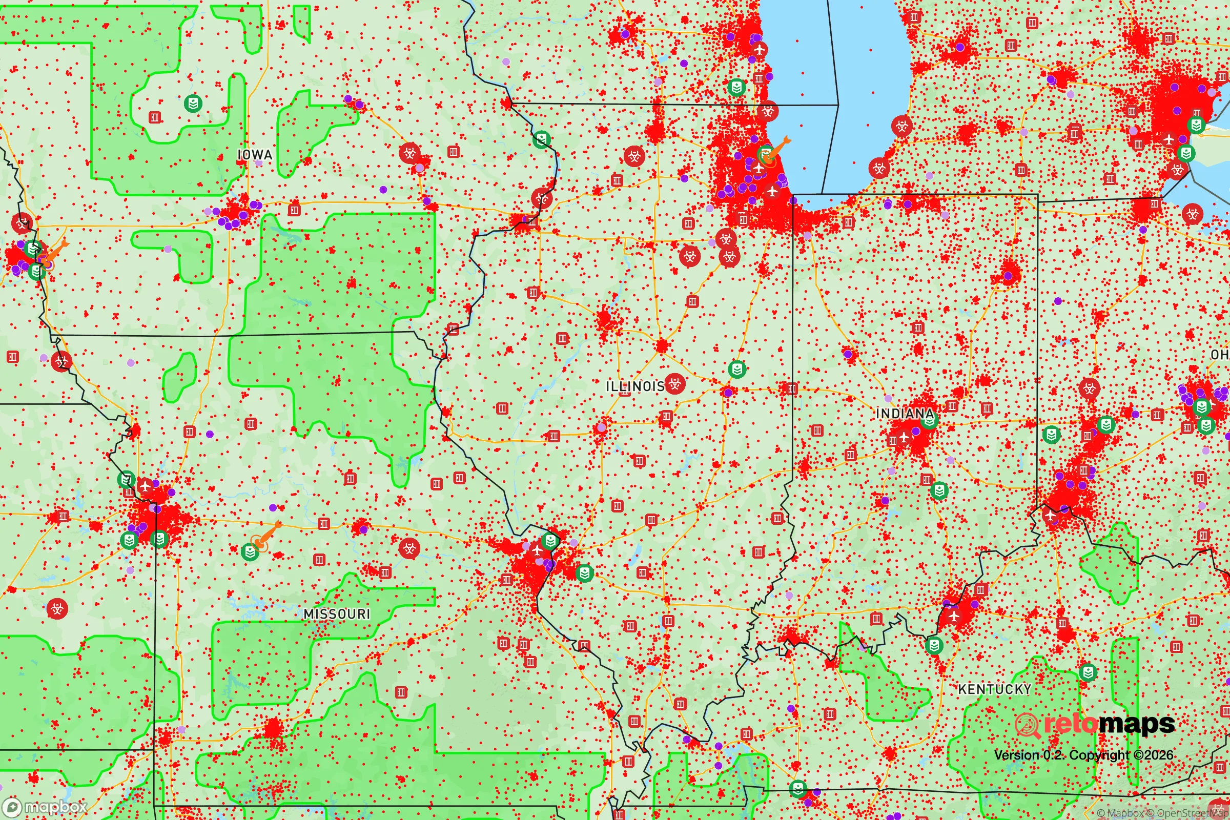
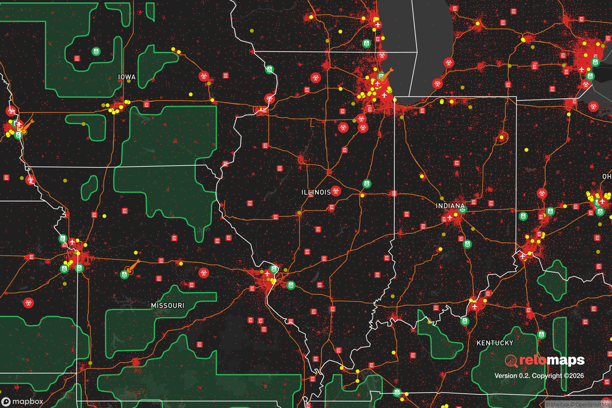
Important Note: For informational purposes only. This does not mean nothing bad ever happens in the green zones. Please use common sense. This is based on public data and modeled with AI. We tried to take a conservative approach but mistakes happen. We update this regularly as new information becomes available.
Solar Generator Recommendations
Backup power matters more here than in safer locations. We've picked three solar generators across budgets and capacity tiers — start with the budget unit if you only need a few essentials, or step up if you want to run a fridge and HVAC for days at a time.

Jackery Portable Power Station Explorer 300
Budget OptionPower on the Go: Weighing only 11 lbs, it's convenient to set up and store with book-sized foldable solar panels

BLUETTI Portable Power Station AC180
Designed for both indoor and outdoor scenarios, AC180 is highly capable as it has a robost capacity and continuous output power.

EF ECOFLOW DELTA Pro Ultra Power Station
Upgraded PickEcoFlow DELTA Pro Ultra is a whole-home energy system designed to grow with your family. Integrated with the Smart Home Panel 2, it scales to meet your evolving energy needs — keeping your home powered, intelligent, and secure through every stage of life.
We earn a commission, at no additional cost to you.
Strategic Assessment Analysis
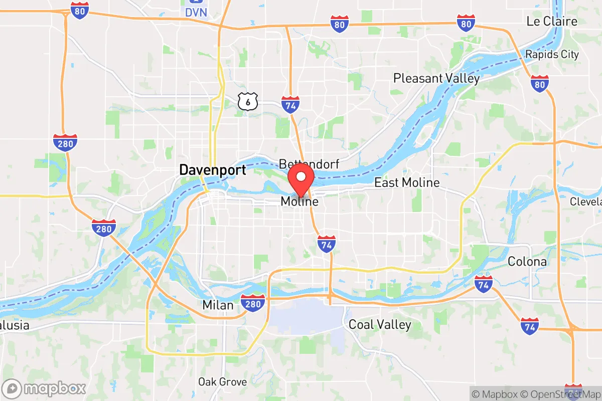
Moline, Illinois, sits on the Mississippi River in a position that offers genuine strategic depth for a relocator thinking about long-term resilience, but it carries real liabilities that demand a clear-eyed assessment. The city’s location at the intersection of I-74, I-80, and I-88 gives it solid logistical access without being swallowed by a major metro’s chaos, and its industrial heritage—home to John Deere’s global headquarters—means the local economy has a manufacturing backbone that doesn’t vanish overnight. For someone weighing civic unrest, supply chain disruptions, or natural disasters, Moline presents a mixed picture: defensible geography with river resources, but proximity to enough critical infrastructure that a determined adversary or cascading failure could reach you faster than you’d like.
Geographic position and natural advantages for long-term stability
Moline’s position on the Mississippi River is its single strongest asset for a prepper mindset. The river provides a massive, renewable water source—critical if municipal systems fail or become contaminated—and the surrounding Rock River Valley offers fertile soil for small-scale agriculture, with growing seasons long enough for staple crops like corn, beans, and squash. The area sits on the Galena-Platteville aquifer, a deep bedrock system that supplies reliable groundwater for wells, which is a major plus if grid water becomes unreliable. Topographically, the region is gently rolling with bluffs along the river, offering natural drainage and defensible high ground for a rural property within 20 minutes of town. The climate is continental—cold winters, hot summers—but tornado risk is moderate (F2-F3 events are possible but not frequent), and the area is far enough inland that hurricane storm surge is irrelevant. Flooding along the Mississippi is the primary natural hazard, but the Army Corps of Engineers maintains levees and floodwalls that have held through major events like 1993 and 2019; buying property above the 500-year floodplain eliminates that risk entirely.
Risks, exposures, and proximity to fallout-relevant landmarks
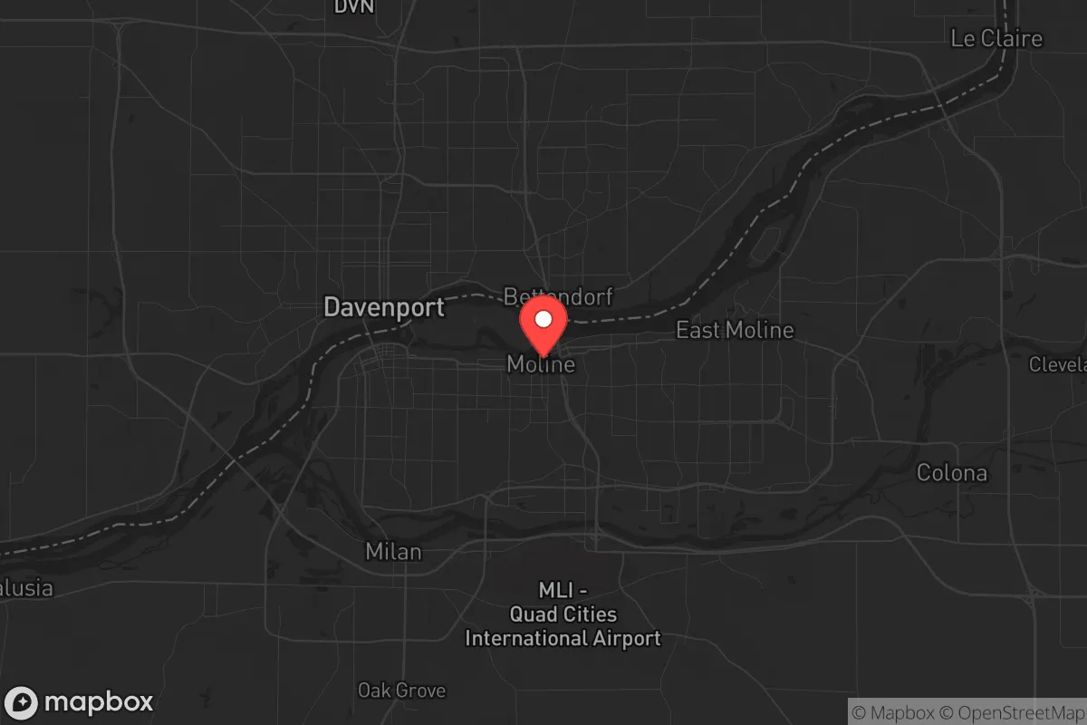
The biggest strategic downside to Moline is its proximity to multiple high-value targets that could draw unrest, military action, or cascading infrastructure failures. John Deere’s headquarters and its sprawling manufacturing plants in Moline and East Moline are critical to the global agricultural supply chain—a fact that makes them a potential target for sabotage, labor unrest, or even state-actor disruption in a conflict scenario. The Quad Cities International Airport (MLI) is a joint civil-military field used by the Illinois Air National Guard, which could become a staging point or a target during mobilization. Worse, the Quad Cities Nuclear Power Station sits just 20 miles northeast in Cordova, IL—a boiling water reactor that, while well-regulated, is a single-point-of-failure risk for the region. A major incident there would force evacuation of a 10-mile emergency planning zone that includes parts of Moline. Additionally, the city is within 150 miles of Chicago, the nation’s third-largest city, and within 200 miles of St. Louis—both potential epicenters of civil unrest, refugee flows, or supply chain choke points. Interstate 80, which runs directly through Moline, is a national east-west artery that could become clogged with evacuees or military convoys during a crisis, turning the city into a bottleneck rather than a refuge.
Practical resilience for a relocator: food, water, energy, and defensibility
For someone serious about self-sufficiency, Moline offers a workable baseline but requires deliberate upgrades. Municipal water comes from the Mississippi River, treated at the Moline Water Treatment Plant—fine for daily use, but a single contamination event (chemical spill upstream, grid failure, sabotage) would cut supply. A well with a hand pump or a rainwater catchment system is a must for any property outside city limits. The local food scene is dominated by commodity agriculture—corn and soybeans—but there are a handful of year-round farmers’ markets (the Moline Farmers Market runs May through October) and a growing network of small-scale producers in nearby rural areas like Coal Valley and Orion. For long-term food storage, the climate allows root cellaring in basements (common in older homes) and cold storage in unheated garages through winter. Energy resilience is middling: MidAmerican Energy provides grid power with a mix of coal, natural gas, and wind, but outages from ice storms or derecho events (like the August 2020 derecho that knocked out power for days across the Midwest) are real. Solar is viable—the region gets about 200 sunny days per year—but battery storage is essential for winter months when generation drops. Defensibility is average: Moline is a compact city of about 42,000 people, with a grid street pattern that offers multiple egress routes (I-74, I-80, IL-92, IL-5) but also multiple entry points for anyone determined to reach you. The best strategy is to live on the rural fringe—towns like Milan, Carbon Cliff, or Reynolds—where you can have acreage, a well, and a clear line of sight to approaching vehicles. Gun laws in Illinois are restrictive (FOID card required, waiting periods, assault weapon ban passed in 2023), so stockpiling ammunition and training at private ranges outside city limits is advisable; the nearby Milan Rifle Club offers a 200-yard range for practice.
The overall strategic picture for Moline is one of cautious viability for a relocator who values industrial infrastructure and river access but is willing to accept moderate risk from nearby targets. It is not a remote redoubt—you are within two hours of a nuclear plant, a major airport, and a national highway corridor that could become a liability. But it is also not a soft target like a coastal city or a sprawling suburb with no water source. For a single individual or family willing to invest in a well, solar backup, and a rural property outside the floodplain, Moline offers a realistic middle ground: enough economic stability to rebuild after a crisis, enough natural resources to sustain yourself, and enough distance from the worst chaos to give you time to react. The key is to treat it as a base of operations, not a fortress—and to have a bug-out plan for the nuclear plant scenario that takes you north or west, away from the prevailing winds and toward the less populated counties of western Illinois or eastern Iowa.
* Values derived from national, state, county, city and local statistics and may differ in a specific area. Last updated: 2026-04-19T06:54:13.000Z
Narrative content on this page is AI-generated and may contain mistakes. Verify any details that matter before acting on them.
ReloMaps may earn a commission from affiliate links at no extra cost to you.