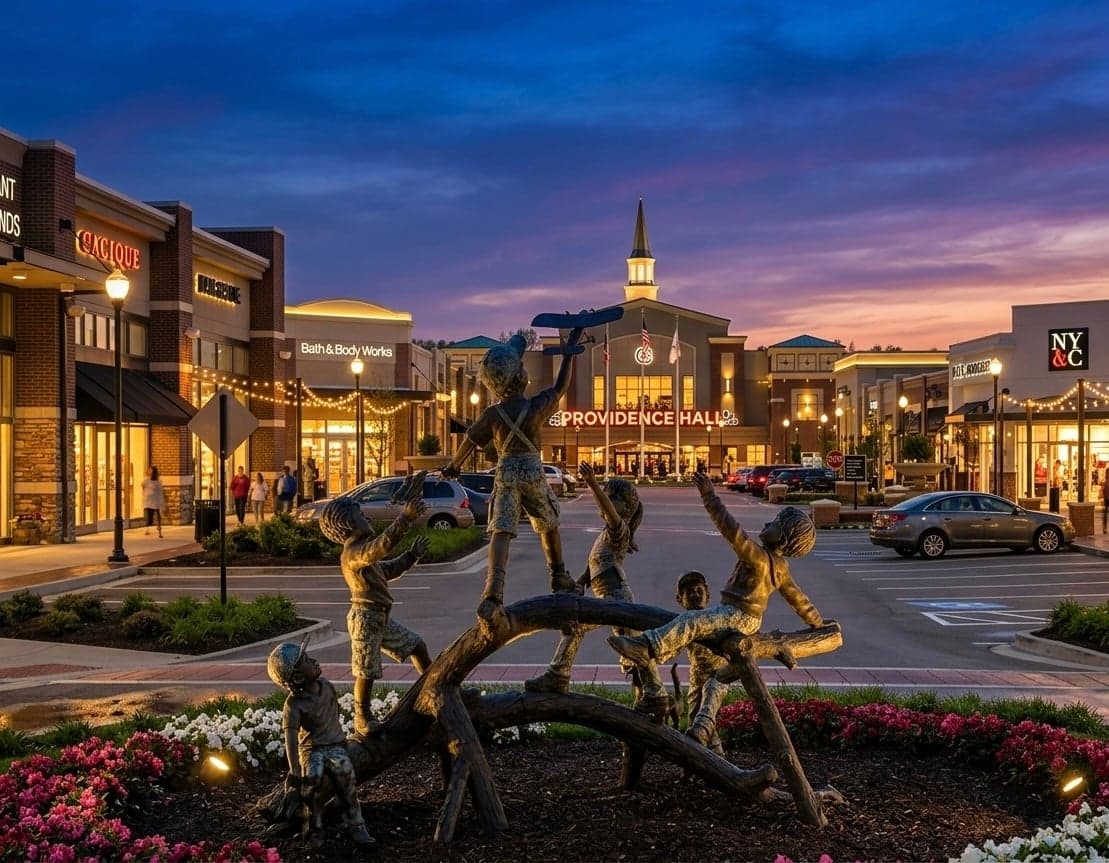
Strategic Assessment of Mount Juliet, TN
Meaningful friction. Expect exposure to either population pressure, blast zones, or natural disaster risk. Consider buying a retreat property.
What does the Strategic Assessment tell us?
Our Strategic Assessment grades tactical survivability of an area. Major population centers, military targets, fallout zones, natural disasters, and border exposure all drive risk — lower exposure means a more defensible position in a crisis.
This is heavily inspired by Joel Skousen's Strategic Relocation book. Highly recommended you checkout the book ($)What does this tell us?
Our Strategic Assessment grades tactical survivability of an area. Major population centers, military targets, fallout zones, natural disasters, and border exposure all drive risk — lower exposure means a more defensible position in a crisis.
This is heavily inspired by Joel Skousen's Strategic Relocation book. Highly recommended you checkout the book ($)Strategic Pillars

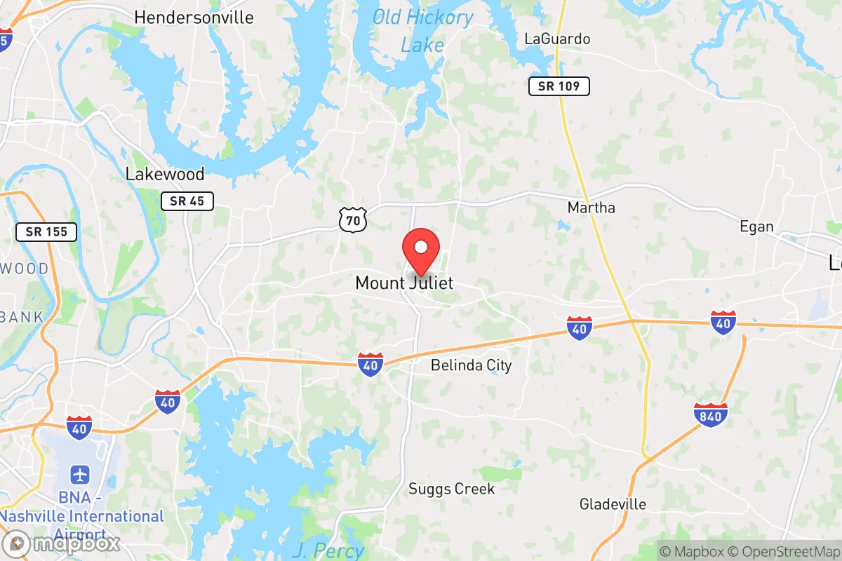
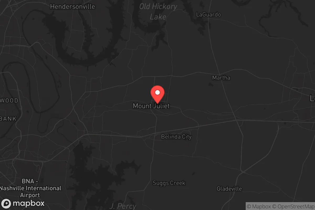
Key Distances
Regional Safe Places
Below is our recommended "safe zones" in Tennessee and the surrounding area based on our strategic heuristics. For most people, it's unrealistic to live in a “safe zone” full-time due to work, family or other personal reasons. They tend to be more rural. However, many of these areas are perfect for second homes and retreat properties that double as a vacation home or even a short-term rental.
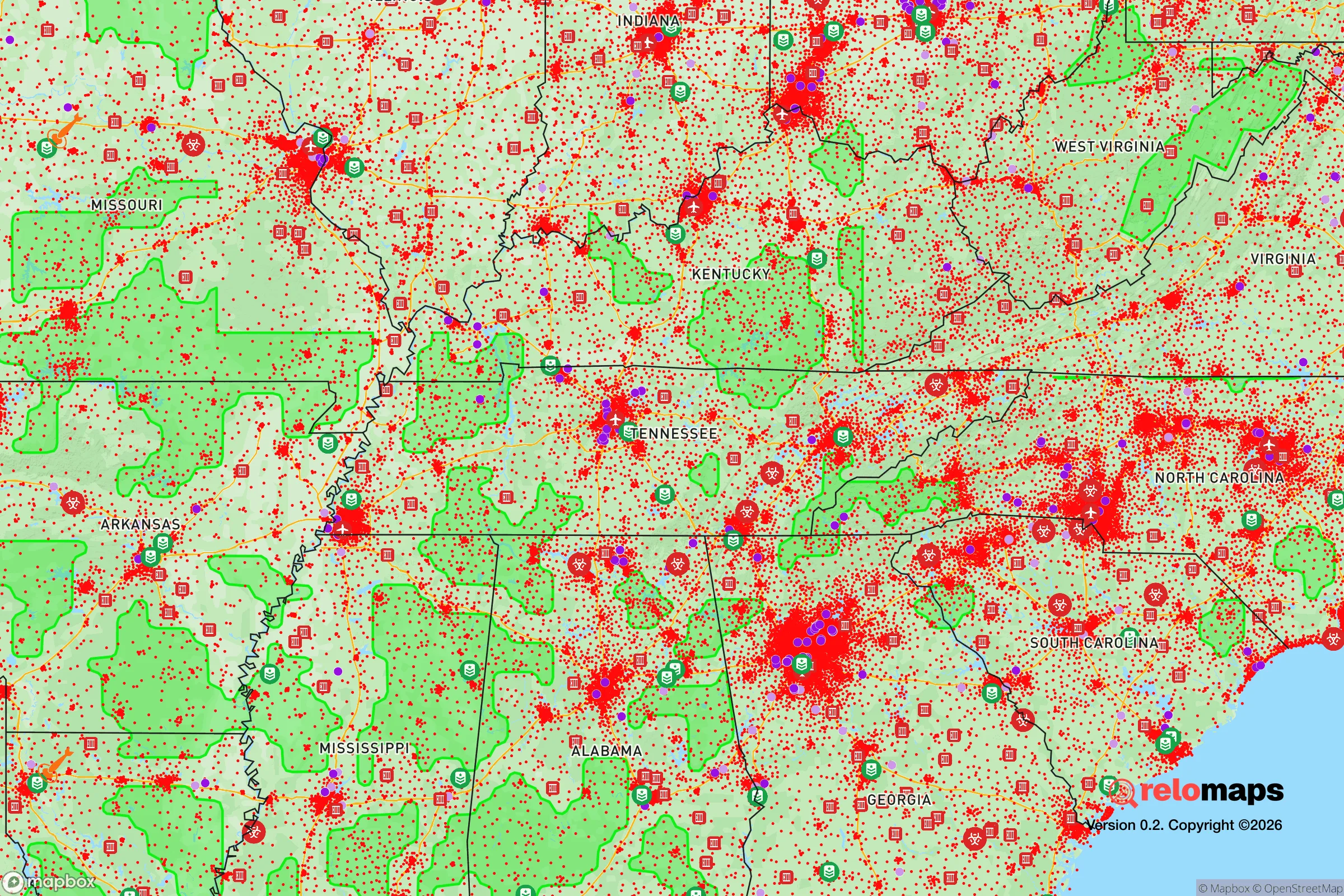
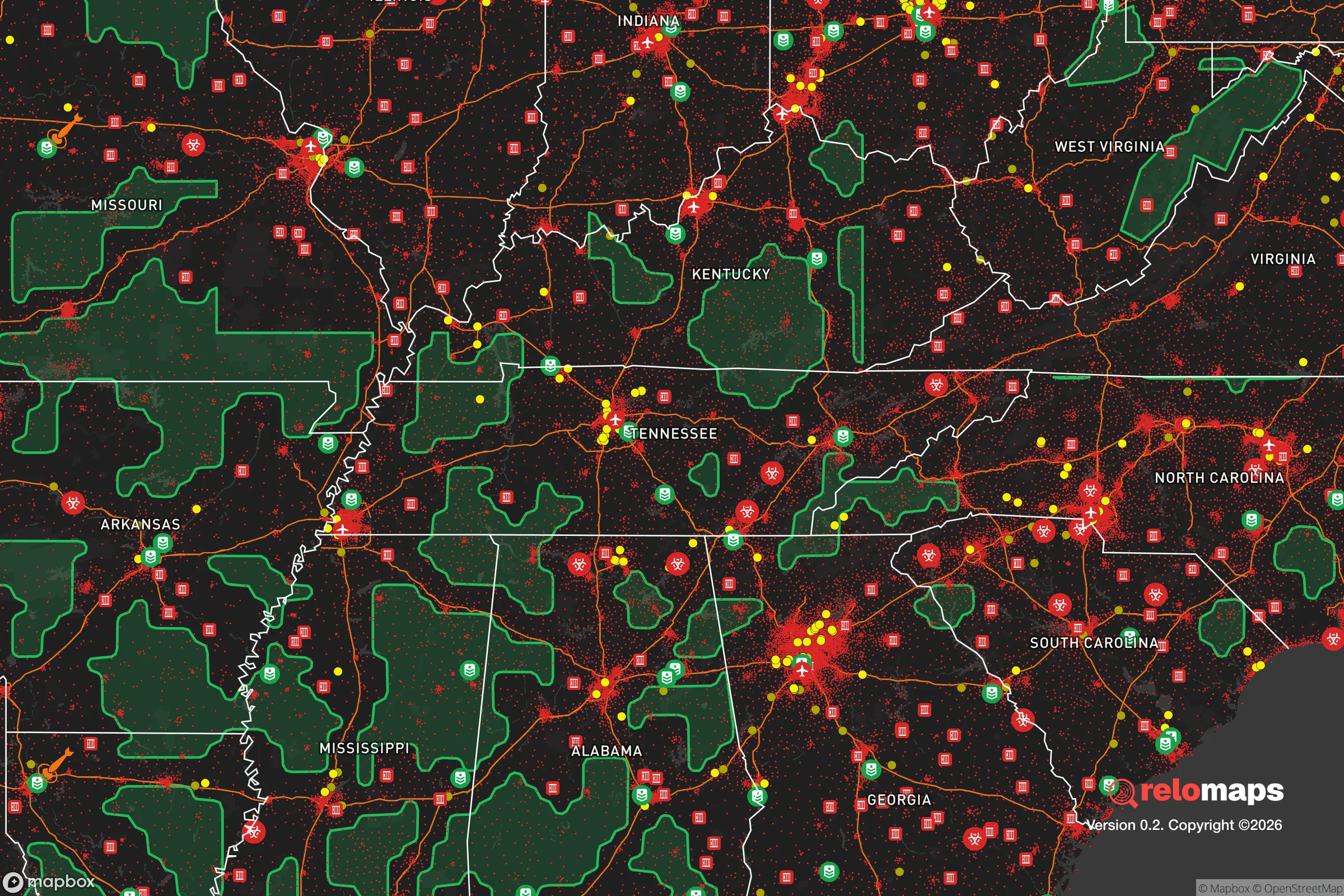
Important Note: For informational purposes only. This does not mean nothing bad ever happens in the green zones. Please use common sense. This is based on public data and modeled with AI. We tried to take a conservative approach but mistakes happen. We update this regularly as new information becomes available.
Solar Generator Recommendations
Backup power matters more here than in safer locations. We've picked three solar generators across budgets and capacity tiers — start with the budget unit if you only need a few essentials, or step up if you want to run a fridge and HVAC for days at a time.

Jackery Portable Power Station Explorer 300
Budget OptionPower on the Go: Weighing only 11 lbs, it's convenient to set up and store with book-sized foldable solar panels

BLUETTI Portable Power Station AC180
Designed for both indoor and outdoor scenarios, AC180 is highly capable as it has a robost capacity and continuous output power.

EF ECOFLOW DELTA Pro Ultra Power Station
Upgraded PickEcoFlow DELTA Pro Ultra is a whole-home energy system designed to grow with your family. Integrated with the Smart Home Panel 2, it scales to meet your evolving energy needs — keeping your home powered, intelligent, and secure through every stage of life.
We earn a commission, at no additional cost to you.
Strategic Assessment Analysis
Mount Juliet, Tennessee, sits in a geographic sweet spot that offers genuine strategic depth for those thinking seriously about long-term resilience, but it comes with trade-offs that demand clear-eyed assessment. Located just east of Nashville in Wilson County, this community of roughly 45,000 has grown rapidly over the past decade, and that growth brings both advantages and vulnerabilities for a relocator focused on preparedness. The town’s position along Interstate 40 places it within a 20-minute drive of downtown Nashville, yet its eastern orientation means it is slightly removed from the densest urban chaos, offering a buffer that many closer-in suburbs lack. For a conservative-leaning individual or family weighing where to plant roots in an increasingly uncertain national landscape, Mount Juliet presents a mixed picture: solid local governance and infrastructure, but real exposure to the risks that come with proximity to a major metropolitan hub and critical infrastructure targets.
Geographic position and natural advantages for long-term stability
Mount Juliet’s location within the Nashville Basin gives it relatively mild weather patterns compared to areas farther west or south, but it is not immune to severe storms. The area sits outside the highest-risk tornado zones of Middle Tennessee, though Wilson County has seen its share of damaging storms—including the March 2020 tornado outbreak that struck nearby Cookeville and Putnam County. The terrain is gently rolling, with limestone bedrock beneath much of the area, which provides decent drainage and reduces flood risk in most neighborhoods, though low-lying areas near the Cumberland River and its tributaries can flood during prolonged heavy rain. The Cumberland River itself runs just north of the city, and while it is not a major flood threat for most of Mount Juliet, it is a strategic waterway that connects to the Tennessee River system and ultimately to the Mississippi. For a prepper, this means water access is present but not immediately usable without treatment—the river carries barge traffic and industrial runoff, so reliance on it for drinking would require serious filtration. The area’s natural advantages are modest but real: moderate climate, decent soil for small-scale gardening in many parts, and enough tree cover to provide some concealment and windbreak. However, the rapid suburbanization has replaced much of the original farmland with subdivisions and strip malls, so self-sufficiency in food production would require deliberate effort on a private lot.
Risks, exposures, and proximity to fallout-relevant landmarks
The single biggest strategic liability for Mount Juliet is its proximity to Nashville and the critical infrastructure clustered there. Nashville is home to a major international airport (BNA), multiple interstate junctions (I-40, I-24, I-65, I-440), a large rail yard, and the Tennessee Valley Authority’s Cumberland Fossil Plant just northwest of the city. In a scenario involving civil unrest, a mass casualty event, or a coordinated attack, these are high-value targets that could produce secondary effects reaching well into Wilson County. The airport is roughly 15 miles west of Mount Juliet’s center, close enough that a major incident there could disrupt travel, supply chains, and emergency services for days or weeks. The TVA plant, while not nuclear, is a large coal and natural gas facility that could be a target for sabotage or could experience catastrophic failure; fallout from such an event would depend on wind direction, but Mount Juliet lies generally east-northeast of the plant, putting it in a plausible downwind zone during prevailing westerlies. Additionally, the I-40 corridor itself is a chokepoint—any disruption on that highway effectively cuts Mount Juliet off from Nashville to the west and from Knoxville to the east. For a relocator, this means that while the town feels suburban and safe day-to-day, it sits within a 30-mile radius of multiple high-consequence targets. The presence of a large population in Nashville (roughly 700,000 city proper, 2 million metro) also means that in a crisis, Mount Juliet could see a surge of refugees fleeing the city, straining local resources and potentially bringing the very unrest one is trying to avoid.
Practical resilience for a relocator: food, water, energy, and defensibility
Mount Juliet’s practical resilience is a mixed bag that requires active preparation. The town’s water supply comes from the Cumberland River via the Metro Nashville Water Services system, which means it is dependent on a single regional provider. In a prolonged power outage or contamination event, that tap could go dry or become unsafe. Well water is not common in newer subdivisions, but some older properties and rural lots on the outskirts do have private wells—these are worth seeking out for a relocator serious about water security. The electrical grid is served by the Middle Tennessee Electric Membership Corporation, a cooperative that has generally good reliability but is still vulnerable to ice storms, tornadoes, and cyberattacks. Solar with battery backup is feasible here—the area gets about 210 sunny days per year, slightly above the national average—but homeowners’ associations in many Mount Juliet subdivisions restrict visible panels, so a prepper should check covenants carefully before buying. Food security is a challenge: the town has a handful of grocery stores (Publix, Kroger, Walmart) but no significant local food production infrastructure. The Wilson County Farmers Market operates seasonally, and there are small farms in the surrounding county, but a major disruption would leave most residents dependent on whatever supply chains remain intact. Defensibility is moderate—Mount Juliet is a typical suburban layout with cul-de-sacs, strip malls, and a few main arteries (Mt. Juliet Road, Lebanon Road, I-40). The terrain offers no natural defensive chokepoints, and the population density (roughly 1,200 people per square mile) means that in a breakdown scenario, you would be surrounded by neighbors, not wilderness. For a single individual or family, the best approach is to secure a property on the eastern or southern edge of town, closer to the rural parts of Wilson County, where lot sizes increase and road access narrows. The Wilson County Sheriff’s Office is well-regarded locally and has a visible presence, but in a widespread crisis, law enforcement would be stretched thin.
The overall strategic picture for Mount Juliet is one of calculated compromise. It offers a stable, low-crime community with decent schools and a conservative-leaning local government that is unlikely to impose heavy-handed restrictions on firearms or property rights—important factors for a prepper. The cost of living is moderate by national standards, though rising fast, and the tax burden is reasonable (no state income tax, property taxes around 0.7% of assessed value). But the town’s growth has erased much of the rural buffer it once had, and its dependence on Nashville for jobs, water, and infrastructure is a genuine vulnerability. For a relocator who wants to be within striking distance of urban resources but not immersed in them, Mount Juliet works—provided you take active steps to build independence: install a well if possible, invest in solar and battery storage, stockpile supplies for at least 30 days, and establish relationships with neighbors who share your mindset. It is not a bug-out location or a remote homestead, but it is a defensible suburban base for those who understand that resilience is a practice, not a purchase. If the country continues on its current trajectory, Mount Juliet will likely remain a relative safe harbor—just don’t mistake its suburban comfort for true strategic security.
* Values derived from national, state, county, city and local statistics and may differ in a specific area. Last updated: 2026-05-01T14:10:21.000Z
Narrative content on this page is AI-generated and may contain mistakes. Verify any details that matter before acting on them.
ReloMaps may earn a commission from affiliate links at no extra cost to you.