Photo: Wikipedia
Strategic Assessment of Hitchcock County
Deep buffer from population centers and strategic targets. Low natural disaster risk and minimal exposure to border or coastal threats.
What does the Strategic Assessment tell us?
Our Strategic Assessment grades tactical survivability of an area. Major population centers, military targets, fallout zones, natural disasters, and border exposure all drive risk — lower exposure means a more defensible position in a crisis.
This is heavily inspired by Joel Skousen's Strategic Relocation book. Highly recommended you checkout the book ($)What does this tell us?
Our Strategic Assessment grades tactical survivability of an area. Major population centers, military targets, fallout zones, natural disasters, and border exposure all drive risk — lower exposure means a more defensible position in a crisis.
This is heavily inspired by Joel Skousen's Strategic Relocation book. Highly recommended you checkout the book ($)Strategic Pillars

Key Distances
Strategic Assessment Analysis
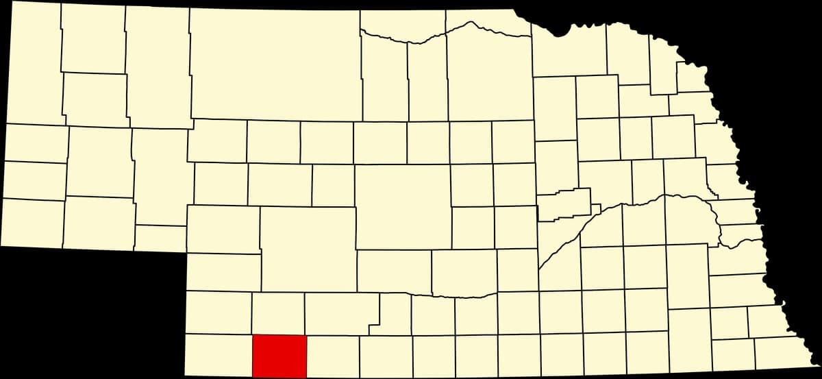
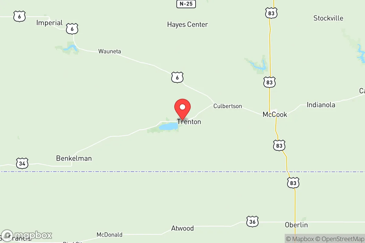
Hitchcock County, Nebraska, offers a distinctive strategic profile for relocators prioritizing resilience and self-sufficiency, combining low population density with a location that is both remote from major metropolitan targets and well-connected to essential supply routes. Situated in the southwestern corner of the state along the Kansas border, the county presents a quiet, agriculturally anchored environment where the nearest city of significant size—North Platte, roughly 70 miles north—is far enough to avoid fallout risks but close enough for resupply. The county seat of Trenton, along with the smaller communities of Culbertson and Palisade, forms the core of a region where the primary economic drivers are farming, ranching, and the associated infrastructure of grain elevators and feedlots, providing a baseline of local food production and a community accustomed to working the land.
Geographic position and natural advantages for self-sufficiency
Hitchcock County's location in the Republican River Valley provides a meaningful natural advantage for those focused on water security and agricultural independence. The Republican River flows through the southern portion of the county, and the Swanson Reservoir—a man-made lake created by the Trenton Dam—offers a substantial, managed water source that is less vulnerable to drought than smaller wells or ponds. The terrain is a mix of rolling loess hills and river-bottom farmland, which supports both dryland and irrigated crop production, with corn, soybeans, and alfalfa being common. The county's position places it well outside the primary fallout patterns of major strategic targets such as Offutt Air Force Base near Omaha or the Minuteman III missile fields farther north in the Nebraska panhandle, reducing the likelihood of direct contamination from a nuclear exchange. Additionally, the area's low population density—roughly 2,800 residents across 710 square miles—means fewer people competing for resources in a crisis, and the dispersed settlement pattern of farmsteads and small towns offers natural spacing that limits disease transmission and social friction.
Risks, exposures, and proximity to fallout-relevant landmarks
While Hitchcock County is far from the highest-risk zones, it is not without exposure to man-made and natural hazards that a strategic relocator must weigh. The most significant man-made risk comes from the county's proximity to the Keystone Pipeline system, which runs through nearby areas of Nebraska and carries crude oil from Canada to refineries in Illinois and Oklahoma. A rupture or targeted attack on a pipeline segment could contaminate local water sources, particularly the Republican River and Swanson Reservoir, though the county itself is not a primary pipeline corridor. On the natural disaster front, the region lies within Tornado Alley, and severe weather—including EF2+ tornadoes, straight-line winds, and hailstorms—is a seasonal reality. The Republican River has a history of flooding, most notably in 2019 when heavy spring rains caused widespread inundation along the river valley, damaging crops and isolating some rural roads. For a relocator concerned with fallout, the nearest significant military installation is the U.S. Army's Fort Riley in Kansas, about 150 miles southeast, which is a potential target but far enough that prevailing westerly winds would carry fallout away from Hitchcock County. The county's distance from major population centers like Denver (280 miles west) and Omaha (300 miles east) means it is unlikely to see refugee flows from a nuclear event, but it could experience pressure from displaced persons from smaller regional cities like McCook or North Platte if those areas are affected.
Practical resilience for a relocator: food, water, energy, and defensibility
For a relocator serious about long-term self-sufficiency, Hitchcock County offers a strong baseline in food and water security but requires deliberate investment in energy independence and defensibility. The agricultural character of the county means that local food production is abundant, with direct access to beef, pork, poultry, and grain from nearby farms and ranches. The Trenton Farmers Market and local co-ops in Culbertson provide seasonal produce, and the prevalence of hunting—deer, pheasant, and waterfowl—adds a wild protein source. Water access is above average for the Great Plains: the Republican River and Swanson Reservoir are reliable surface water sources, and the Ogallala Aquifer underlies the region, though it is deeper here than in central Nebraska, requiring wells of 200-400 feet for good yield. Energy resilience is a weaker point: the county is served by the Nebraska Public Power District, which relies heavily on coal and nuclear generation from distant plants, and grid outages during winter storms are not uncommon. Solar panel installation is feasible given the region's 220+ sunny days per year, but backup battery storage or a propane generator is advisable for winter heating. Defensibility is mixed: the open, rolling terrain offers long sightlines but limited natural cover, and the dispersed population means that a single homestead could be isolated and vulnerable to a determined group. However, the strong community ties in towns like Trenton and Palisade—where neighbors know each other and local law enforcement is responsive—create a social fabric that deters casual crime and supports mutual aid. The county's lack of a major highway or rail hub also reduces the likelihood of transient traffic, making it a low-profile location for those seeking to avoid attention.
The overall strategic picture for Hitchcock County is one of moderate-to-high resilience for a relocator who is willing to invest in energy backup and water treatment, and who values isolation from major targets over proximity to urban amenities. The county's agricultural base, reliable surface water, and distance from high-value military and industrial sites make it a defensible choice for a family or individual focused on long-term self-sufficiency, particularly when compared to more exposed regions of the Great Plains. The trade-offs are real: severe weather, limited healthcare access (the nearest hospital is in McCook, 25 miles east), and a thin economic base that offers few off-grid employment opportunities. For the right person—someone comfortable with rural life, capable of maintaining a well and a generator, and prepared for the isolation of the Nebraska Sandhills border country—Hitchcock County represents a solid, grounded option in a world of increasing uncertainty.

* Values derived from national, state, county, city and local statistics and may differ in a specific area. Last updated: 2026-10-13T19:27:52.000Z
Narrative content on this page is AI-generated and may contain mistakes. Verify any details that matter before acting on them.
ReloMaps may earn a commission from affiliate links at no extra cost to you.

