
Photo: Wikipedia
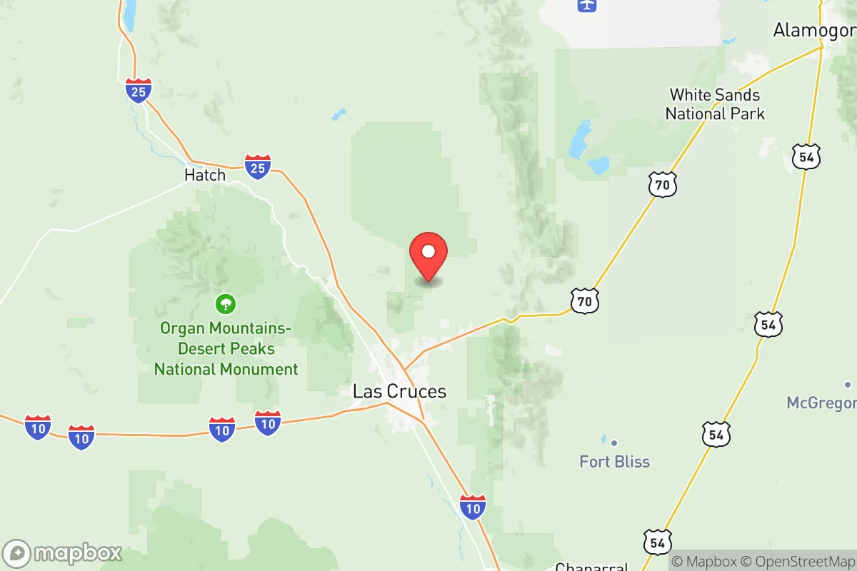
Strategic Assessment of Dona Ana County
Meaningful friction. Expect exposure to either population pressure, blast zones, or natural disaster risk. Consider buying a retreat property.
What does the Strategic Assessment tell us?
Our Strategic Assessment grades tactical survivability of an area. Major population centers, military targets, fallout zones, natural disasters, and border exposure all drive risk — lower exposure means a more defensible position in a crisis.
This is heavily inspired by Joel Skousen's Strategic Relocation book. Highly recommended you checkout the book ($)What does this tell us?
Our Strategic Assessment grades tactical survivability of an area. Major population centers, military targets, fallout zones, natural disasters, and border exposure all drive risk — lower exposure means a more defensible position in a crisis.
This is heavily inspired by Joel Skousen's Strategic Relocation book. Highly recommended you checkout the book ($)Strategic Pillars

Key Distances
Strategic Assessment Analysis
Dona Ana County offers a strategic relocation option for those prioritizing resilience, offering a rare blend of isolation from major population centers and proximity to critical infrastructure in the southern Rio Grande Valley. Located in south-central New Mexico, the county avoids the direct fallout zones of major metropolitan areas while still providing access to essential resources, making it a viable base for anyone preparing for civic unrest or large-scale disruptions. The area's low population density, arid climate, and distance from coastal or border mega-cities like El Paso (just south) and Houston (far east) reduce exposure to cascading failures, though its own vulnerabilities merit careful consideration.
Geographic position and natural advantages for long-term security
Dona Ana County sits at the crossroads of the Rio Grande and the southern Rocky Mountain foothills, with Las Cruces as its hub. The region's natural defenses include the Organ Mountains to the east and the Rio Grande floodplain to the west, creating a natural funnel that limits unwanted movement. The county's roughly 3,800 square miles are sparsely populated outside the Las Cruces metro area (pop. ~110,000), offering ample rural acreage for those seeking off-grid setups. The presence of Elephant Butte Reservoir north of the county provides a significant freshwater buffer—critical for extended self-sufficiency—while the Rio Grande itself offers a perennial water source if managed legally. The state's New Mexico State University campus in Las Cruces houses agricultural extension programs and food science research, which could be leveraged for local food production and seed preservation. Elevations range from 3,800 to over 7,000 feet, providing microclimates that support diverse growing seasons—a plus for any serious prepper's garden.
Risks, exposures, and proximity to fallout-relevant landmarks
No location is a fortress, and Dona Ana County has distinct liabilities. The most immediate concern is El Paso, Texas, just 45 miles south of Las Cruces, a metropolitan area of over 850,000 people. In a crisis, refugees from El Paso could surge north along I-10 and I-25, potentially overwhelming local resources. Similarly, Ciudad Juárez across the border adds cross-border instability—cartel activity and cartel-associated small arms trafficking are a persistent concern. Directly east of the county lies White Sands Missile Range, a major military testing ground that includes live ordnance and missile tests. The range has hosted the Trinity atomic test site (while not in Dona Ana County, it's just 80 miles north—within fallout-plume distance under certain weather patterns). The Holloman Air Force Base near Alamogordo (40 miles east) and Fort Bliss in El Paso (45 miles south) mean the area is ringed by high-value military assets that could become targets during a large-scale conflict. Additionally, the WIPP (Waste Isolation Pilot Plant) near Carlsbad (200 miles east) is a nuclear waste repository; while not in county, a major accident could affect downwind areas. The El Paso Refinery Corridor along the Rio Grande produces jet fuel and gasoline—any major incident could create localized environmental hazards and draw unwanted attention.
Practical resilience for a relocator: food, water, energy, and defensibility
For a relocator serious about self-sufficiency, Dona Ana County scores decently on essentials. Water is the biggest limiting factor; the region averages only 9 inches of precipitation annually. However, the Rio Grande and the Mesilla Valley aquifer provide groundwater that many residential wells tap into—most rural parcels have access to at least 50-100 gallons per minute if you drill deep enough. The county's ace in the hole is Elephant Butte Irrigation District, which delivers surface water to about 90,000 acres of farmland. Securing a property with an irrigation right (even a small one) is your best bet for long-term food production. Food is supported by the fertile Mesilla Valley: pecans, chile, onions, and alfalfa are major crops. You can grow much of your own produce if you have water rights or a well. For energy, solar is king here—the area averages 300+ sunny days a year. Grid-tied solar with battery backup is common among the prepper community. Some off-grid homesteads in the Hatch and Anthony areas run entirely on PV. Natural gas is cheap and available from utilities in Las Cruces, but propane tanks are the backup of choice for rural homes. Defensibility is a mixed bag: the valley floor is open, but the foothills of the Organs offer choke points and good line-of-sight for surveillance. Community context: Las Cruces is a university town with a liberal-leaning culture, but the surrounding unincorporated areas (like Mesilla and Doña Ana proper) lean conservative and are more armed-friendly. Gun ownership rates in New Mexico are moderate, but in Dona Ana County you'll find plenty of shooters and outdoor sportsmen. The county sheriff's office generally supports Second Amendment rights, and concealed carry permits are issued with minimal hassle.
Overall, the strategic picture for Dona Ana County is a cautious green light—but not a slam dunk. The region's geographic isolation from coastal disaster zones and major urban collapse makes it a strong candidate for a secondary relocation hub, especially if you position yourself north of Las Cruces near Hatch or east near the Organ Mountains. The biggest weaknesses are the proximity to El Paso/Juárez and the nuclear/military targets in the vicinity. A savvy relocator would plan for a bug-out route into the Gila National Forest (northwest) or deeper into the Jornada del Muerto basin to the northeast if the missile range becomes active. Water rights acquisition and solar infrastructure should be the top priorities before any move. This is not a paradise, but for someone looking to ride out a societal storm with accessible desert farming and a low profile, Dona Ana County offers a solid foundation—as long as you keep one eye on the southern horizon.
* Values derived from national, state, county, city and local statistics and may differ in a specific area. Last updated: 2026-06-01T16:30:33.000Z
Narrative content on this page is AI-generated and may contain mistakes. Verify any details that matter before acting on them.
ReloMaps may earn a commission from affiliate links at no extra cost to you.