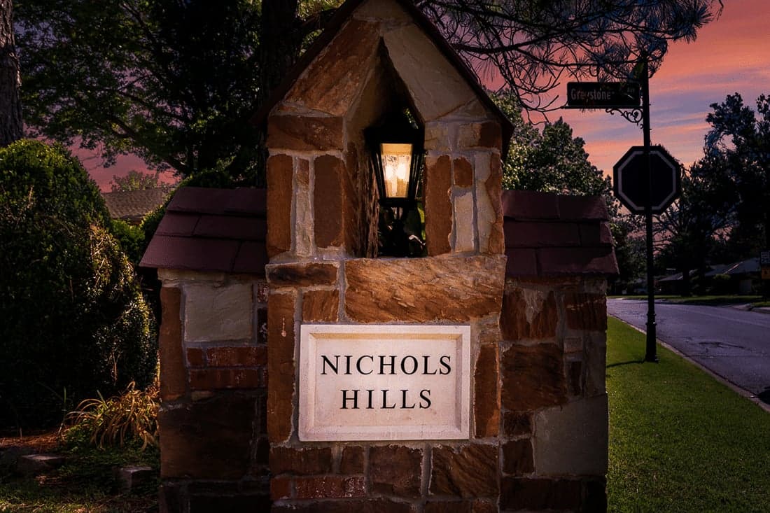
Strategic Assessment of Nichols Hills, OK
Multiple tactical vulnerabilities. Population density, target proximity, or disaster risk are likely compounding. A retreat property and exit planning is required.
What does the Strategic Assessment tell us?
Our Strategic Assessment grades tactical survivability of an area. Major population centers, military targets, fallout zones, natural disasters, and border exposure all drive risk — lower exposure means a more defensible position in a crisis.
This is heavily inspired by Joel Skousen's Strategic Relocation book. Highly recommended you checkout the book ($)What does this tell us?
Our Strategic Assessment grades tactical survivability of an area. Major population centers, military targets, fallout zones, natural disasters, and border exposure all drive risk — lower exposure means a more defensible position in a crisis.
This is heavily inspired by Joel Skousen's Strategic Relocation book. Highly recommended you checkout the book ($)Strategic Pillars

Key Distances
Regional Safe Places
Below is our recommended "safe zones" in Oklahoma and the surrounding area based on our strategic heuristics. For most people, it's unrealistic to live in a “safe zone” full-time due to work, family or other personal reasons. They tend to be more rural. However, many of these areas are perfect for second homes and retreat properties that double as a vacation home or even a short-term rental.
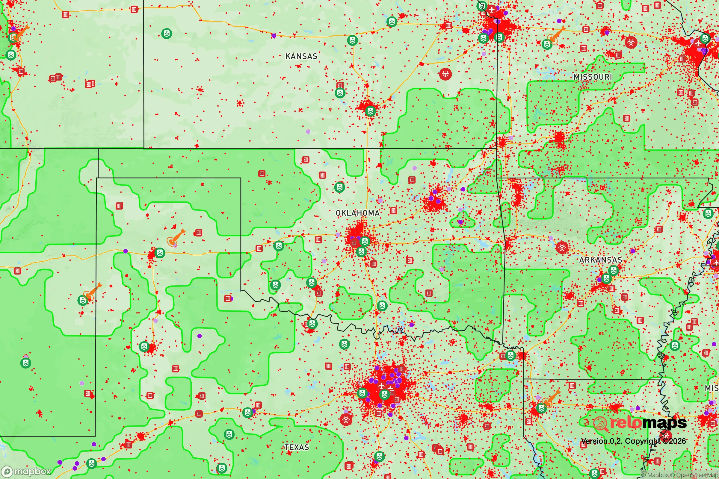
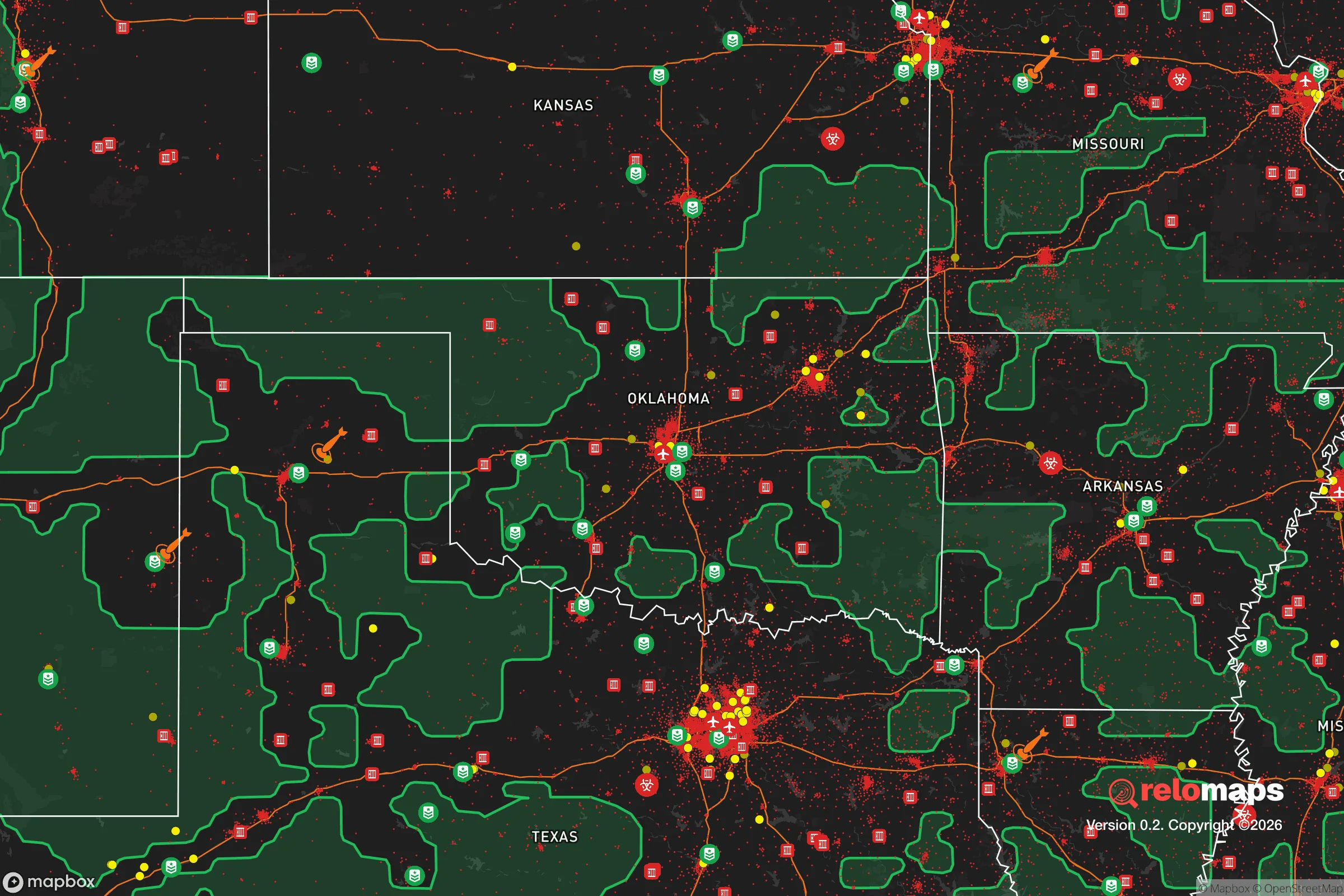
Important Note: For informational purposes only. This does not mean nothing bad ever happens in the green zones. Please use common sense. This is based on public data and modeled with AI. We tried to take a conservative approach but mistakes happen. We update this regularly as new information becomes available.
Solar Generator Recommendations
Backup power matters more here than in safer locations. We've picked three solar generators across budgets and capacity tiers — start with the budget unit if you only need a few essentials, or step up if you want to run a fridge and HVAC for days at a time.

Jackery Portable Power Station Explorer 300
Budget OptionPower on the Go: Weighing only 11 lbs, it's convenient to set up and store with book-sized foldable solar panels

BLUETTI Portable Power Station AC180
Designed for both indoor and outdoor scenarios, AC180 is highly capable as it has a robost capacity and continuous output power.

EF ECOFLOW DELTA Pro Ultra Power Station
Upgraded PickEcoFlow DELTA Pro Ultra is a whole-home energy system designed to grow with your family. Integrated with the Smart Home Panel 2, it scales to meet your evolving energy needs — keeping your home powered, intelligent, and secure through every stage of life.
We earn a commission, at no additional cost to you.
Strategic Assessment Analysis
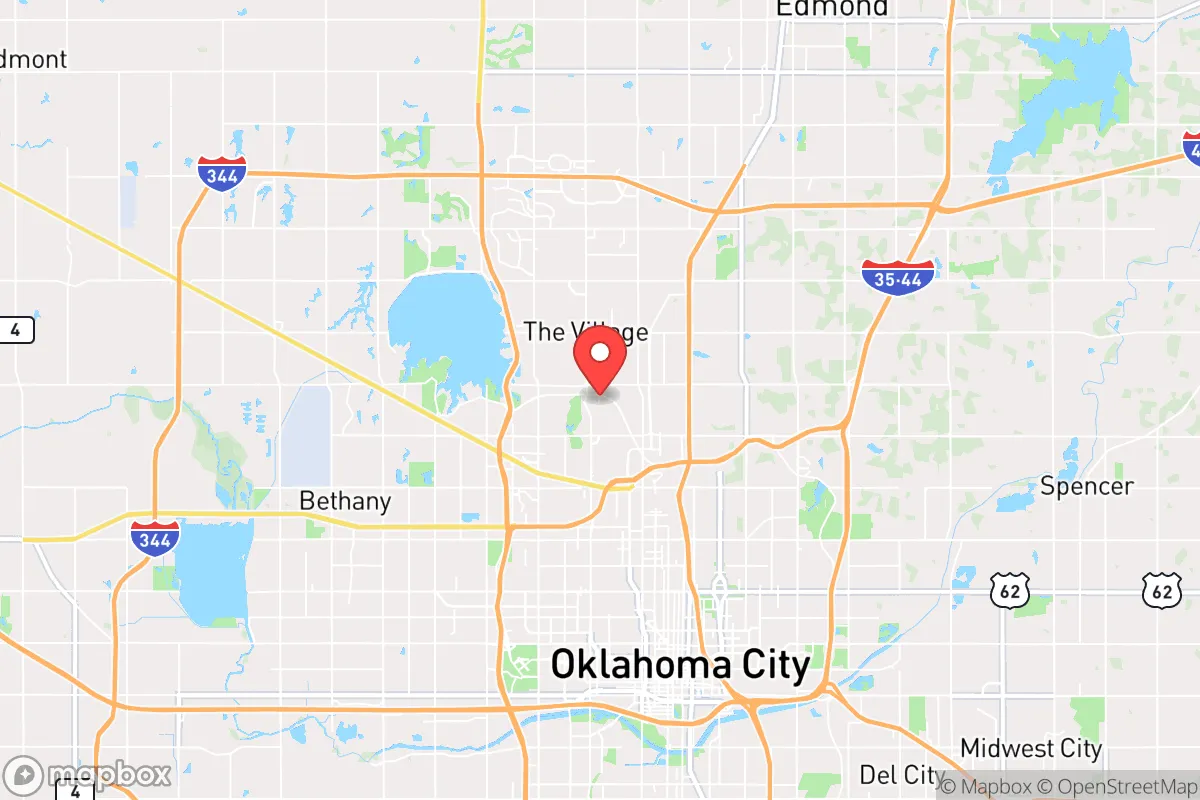
Nichols Hills, Oklahoma, presents a complex strategic picture for the conservative prepper. It is a small, affluent enclave of roughly 3,800 residents, completely surrounded by Oklahoma City. Its primary resilience advantage is its low population density and high median income, which translates to well-maintained infrastructure, private security, and a community with significant resources for mutual aid. However, its location—a literal island within a major metropolitan area—creates profound vulnerabilities that must be weighed against any tactical benefits. For the relocator prioritizing long-term survivability over short-term convenience, this is a location that demands a clear-eyed assessment of its trade-offs.
Geographic position and natural advantages for a prepared household
Nichols Hills sits on relatively flat terrain in central Oklahoma, part of the Red Bed Plains. The area has no natural barriers—no rivers, hills, or forests that would provide a tactical defensive perimeter or a natural retreat route. The soil is clay-heavy, which complicates deep-well drilling and large-scale gardening without significant amendment. The climate is continental, with hot, humid summers and cold, dry winters, and the region lies squarely in Tornado Alley. While the lack of natural choke points is a defensive negative, the flat terrain does mean that a prepared household with a vehicle can move in any direction, provided roads are passable. The primary natural advantage is the Ogallala Aquifer, which provides the region's water, though it is a shared, depleting resource. For a prepper, this means water storage and filtration are non-negotiable, not optional.
Risks, exposures, and proximity to fallout-relevant landmarks
The single greatest strategic liability of Nichols Hills is its complete encirclement by Oklahoma City. In any scenario involving civil unrest, mass casualty events, or a breakdown of civil order, the city's population of nearly 700,000 will become a mobility and security problem. Nichols Hills is bordered by major arterial roads—Western Avenue, Britton Road, and the Broadway Extension (US-77)—which will become choke points or escape corridors depending on the event. The area is within a 10-mile radius of Tinker Air Force Base, a major strategic asset that could become a target in a conflict scenario. Additionally, the proximity to the Oklahoma City National Memorial (the site of the 1995 bombing) underscores that this region has already been a target for domestic terrorism. For the survivalist, the risk of being caught in a secondary event or a refugee flow from the city core is high. The community's wealth may also make it a target for looting during a prolonged crisis, as it is a known concentration of high-value goods.
Practical resilience for a relocator: food, water, energy, and defensibility
For a relocator with a prepper mindset, Nichols Hills offers a mixed bag. Water security is the most critical issue. The municipal supply comes from Lake Hefner and Lake Overholser, both of which are vulnerable to contamination, drought, or infrastructure failure. A private well is possible but expensive due to the clay soil, and permits are required. Rainwater catchment is legal but must be used for non-potable purposes unless treated. Food security is similarly challenging. The town has no agricultural land; all food is trucked in. A household would need to rely on stored supplies, a greenhouse, or a community garden, but space is limited on standard lots. The local farmers' market (Nichols Hills Farmers Market) is seasonal and not a reliable crisis resource. Energy resilience is moderate. The grid is served by OG&E, which has a mixed reliability record during ice storms and heat waves. Solar panels are permitted but must be approved by the town's architectural committee, which can be a hurdle. Natural gas is widely available for heating and cooking, which is a plus. Defensibility is the weakest point. The town has its own police department (about 20 officers) and a private security patrol, which is excellent for day-to-day safety. However, in a prolonged crisis, this force would be overwhelmed. The town's layout—curving streets, cul-de-sacs, and limited entry points—does provide some natural defensibility against vehicular traffic, but it is not a fortress. A prepared household would need to harden its own property, establish a neighborhood watch, and have a plan for a secondary retreat location outside the metro area.
The overall strategic picture for Nichols Hills is one of calculated risk. It is not a bug-out location or a self-sufficient homestead. It is a high-trust, high-resource community that can function well during short-term disruptions—power outages, ice storms, localized civil unrest—but is fundamentally dependent on the stability of the surrounding metropolitan infrastructure. For the conservative relocator who wants to maintain a professional career in Oklahoma City while having a defensible, affluent home base, Nichols Hills is a viable option, provided they invest heavily in on-site water storage, food reserves, and a secondary retreat property at least 50 miles from the city. For anyone seeking true independence from the grid or from the risks of a major population center, this is not the place. The key takeaway: Nichols Hills is a good place to wait out a short-term crisis, but a poor place to survive a long-term collapse. Plan accordingly.
* Values derived from national, state, county, city and local statistics and may differ in a specific area. Last updated: 2026-04-27T14:18:29.000Z
Narrative content on this page is AI-generated and may contain mistakes. Verify any details that matter before acting on them.
ReloMaps may earn a commission from affiliate links at no extra cost to you.