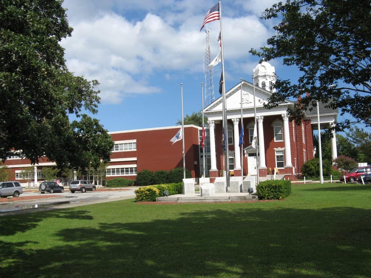
Photo: Wikipedia
Strategic Assessment of Carteret County
Meaningful friction. Expect exposure to either population pressure, blast zones, or natural disaster risk. Consider buying a retreat property.
What does the Strategic Assessment tell us?
Our Strategic Assessment grades tactical survivability of an area. Major population centers, military targets, fallout zones, natural disasters, and border exposure all drive risk — lower exposure means a more defensible position in a crisis.
This is heavily inspired by Joel Skousen's Strategic Relocation book. Highly recommended you checkout the book ($)What does this tell us?
Our Strategic Assessment grades tactical survivability of an area. Major population centers, military targets, fallout zones, natural disasters, and border exposure all drive risk — lower exposure means a more defensible position in a crisis.
This is heavily inspired by Joel Skousen's Strategic Relocation book. Highly recommended you checkout the book ($)Strategic Pillars

Key Distances
Strategic Assessment Analysis
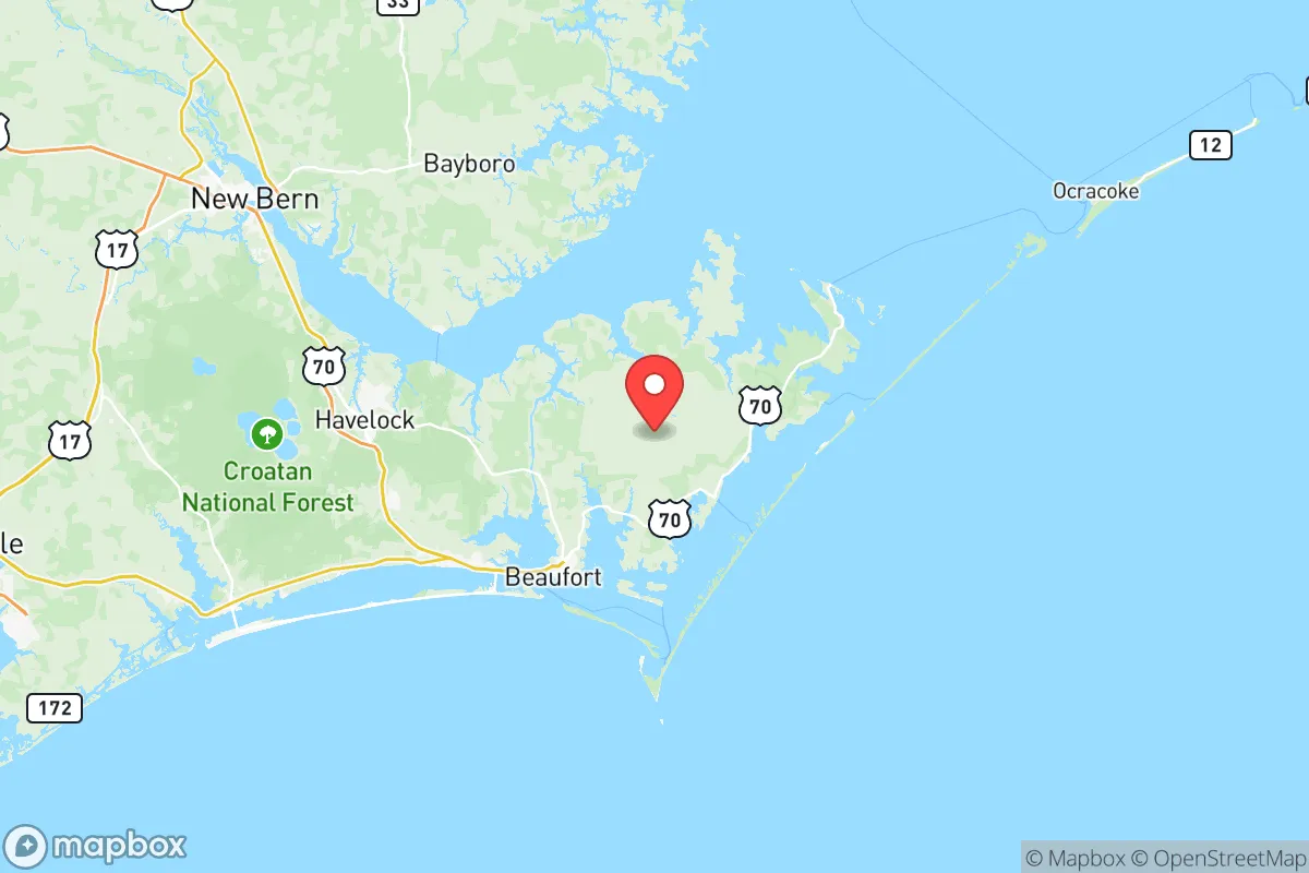
Carteret County, North Carolina, offers a strategic relocation option for those prioritizing disaster readiness and self-sufficiency, balancing coastal access with a degree of geographic insulation from major metropolitan fallout zones. Its position along the Crystal Coast, anchored by the towns of Morehead City, Beaufort, and Atlantic Beach, provides a unique mix of maritime resources and rural buffer zones. While not immune to natural hazards, the county's distance from high-value strategic targets like the Norfolk Naval Shipyard (roughly 150 miles north) and the sprawling military-industrial complex of the Hampton Roads area reduces its exposure to primary blast or fallout patterns from a major conflict or terrorist event.
Geographic position and natural advantages for self-sufficiency
Carteret County's geography is defined by the Bogue Banks barrier islands and the protected waters of Bogue Sound, the Newport River, and the White Oak River. This layout offers several resilience advantages. The county's extensive coastline—over 85 miles of beach—provides direct access to marine protein sources, a critical long-term food security asset. The interior, including areas around Cape Carteret, Newport, and the unincorporated communities of Smyrna and Marshallberg, features a mix of pine forests, farmland, and tidal creeks suitable for small-scale agriculture, hunting, and foraging. The Croatan National Forest, which borders the county to the north and west, adds a significant buffer of undeveloped land, offering both a resource zone and a natural barrier against overland encroachment. The county's position on a peninsula, bounded by the Atlantic Ocean and the Neuse River estuary, inherently limits the number of ground approach routes, which is a defensibility advantage in a grid-down scenario.
Risks, exposures, and proximity to fallout-relevant landmarks
The primary risk for Carteret County is its exposure to Atlantic hurricane activity, which is a recurring and predictable threat. The entire county, particularly the barrier islands and low-lying areas around Morehead City and Beaufort, is vulnerable to storm surge, high winds, and flooding. Evacuation routes, primarily US-70 and NC-24, can become congested, making pre-positioning of supplies essential. Regarding man-made risks, the county's most significant exposure is its own infrastructure: the Port of Morehead City, a deepwater port handling bulk cargo including phosphate, wood pellets, and military equipment. While not a nuclear target on the scale of Norfolk or Charleston, the port could be a secondary target or a point of disruption. The county is roughly 70 miles from Marine Corps Base Camp Lejeune in Onslow County, a major military installation that could be a primary target. Fallout patterns from a strike on Lejeune would depend on wind direction, but Carteret County lies within a plausible downwind zone. There are no nuclear power plants, major refineries, or chemical weapons depots within the county itself, which is a relative positive. The nearest nuclear plant is the Brunswick Nuclear Plant in Southport, about 90 miles southwest.
Practical resilience for a relocator: food, water, energy, and defensibility
For a relocator focused on practical resilience, Carteret County offers strong potential but requires preparation. Food security is the county's standout asset: year-round fishing in the Atlantic and Intracoastal Waterway, combined with crabbing, shrimping, and oyster harvesting, provides a reliable protein source. Local farmers' markets in Morehead City and Beaufort and a handful of small farms offer fresh produce, though the county is not a major agricultural producer. Water security is moderate; the county relies on groundwater from the Castle Hayne aquifer, and many rural homes have private wells. However, saltwater intrusion is a concern in coastal areas, and well testing after hurricanes is essential. Energy resilience is a weak point: the grid is vulnerable to hurricane damage, and long power outages are common after major storms. Solar with battery backup is a strong investment here, as the region receives ample sunlight. Defensibility is mixed. The peninsula geography limits approach routes, but the county's many inlets, creeks, and marshy areas create numerous potential access points for small boats. The population is roughly 70,000, with a low population density outside the main towns, reducing competition for resources in a crisis. The local culture, rooted in commercial fishing and military families (many residents commute to Camp Lejeune), tends toward self-reliance and community mutual aid, which is a social resilience asset.
Overall, Carteret County presents a balanced strategic picture for the disaster-conscious relocator. Its greatest strengths are its abundant marine resources, moderate population density, and distance from primary strategic targets. Its greatest weaknesses are hurricane exposure and grid fragility. For a single individual or family willing to invest in storm-hardened infrastructure, off-grid energy, and water storage, the county offers a viable long-term base with a strong community ethos. The key is to locate inland, away from the immediate surge zones of the barrier islands, and to build relationships with the local fishing and farming networks before a crisis hits. It is not a bug-out location for a short-term emergency, but a place to build a resilient, self-sufficient life over years.

* Values derived from national, state, county, city and local statistics and may differ in a specific area. Last updated: 2026-10-18T15:21:25.000Z
Narrative content on this page is AI-generated and may contain mistakes. Verify any details that matter before acting on them.
ReloMaps may earn a commission from affiliate links at no extra cost to you.

