
Photo: Wikipedia
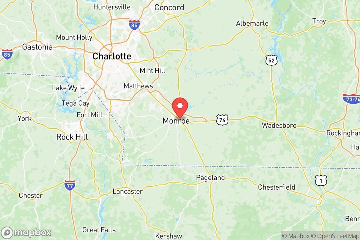
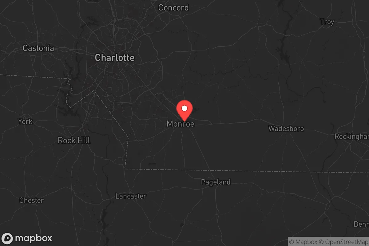
Strategic Assessment of Union County
Meaningful friction. Expect exposure to either population pressure, blast zones, or natural disaster risk. Consider buying a retreat property.
What does the Strategic Assessment tell us?
Our Strategic Assessment grades tactical survivability of an area. Major population centers, military targets, fallout zones, natural disasters, and border exposure all drive risk — lower exposure means a more defensible position in a crisis.
This is heavily inspired by Joel Skousen's Strategic Relocation book. Highly recommended you checkout the book ($)What does this tell us?
Our Strategic Assessment grades tactical survivability of an area. Major population centers, military targets, fallout zones, natural disasters, and border exposure all drive risk — lower exposure means a more defensible position in a crisis.
This is heavily inspired by Joel Skousen's Strategic Relocation book. Highly recommended you checkout the book ($)Strategic Pillars

Key Distances
Strategic Assessment Analysis
Union County, North Carolina, offers a strategic relocation option for those prioritizing resilience, but it requires a clear-eyed assessment of its trade-offs. Positioned as a suburban-rural buffer between the Charlotte metro and the South Carolina line, the county provides a degree of separation from urban chaos while still being close enough to monitor threats. Its growth trajectory—over 20% population increase since 2010—signals economic vitality, but also brings the very urban pressures many preppers seek to escape. For a conservative-leaning individual or family focused on self-reliance, Union County’s real value lies in its geographic chokepoints, agricultural base, and relative distance from high-value targets, though proximity to Charlotte’s infrastructure introduces real vulnerabilities.
Geographic position and natural advantages for long-term stability
Union County sits in the Piedmont region, roughly 20 miles southeast of Charlotte, with the Catawba River forming its western boundary and the South Carolina state line to the south. This location offers a natural buffer: the county is not directly on an interstate spine like I-85 or I-77, but US-74 and NC-16 provide reliable egress routes toward the coast or the mountains. The terrain is rolling hills with mixed hardwood forests, offering decent cover and water drainage—no floodplain issues like those near the coast. The county’s agricultural heritage remains intact, with over 40,000 acres of farmland producing poultry, soybeans, and corn, which supports local food security. The Catawba River and Lake Wylie (partially in the county’s northwest corner) provide surface water sources, though access is controlled by Duke Energy and municipal utilities. For a relocator, the key advantage is that Union County is not a primary target—no major military bases, refineries, or ports sit within its borders. The closest significant military installation is Fort Liberty (formerly Fort Bragg) about 90 miles east, which is a potential fallout zone but far enough to avoid direct blast effects. The county’s position also puts it outside the immediate fallout shadow of Charlotte’s urban core, assuming prevailing winds from the west.
Risks, exposures, and proximity to fallout-relevant landmarks
The primary risk for Union County is its proximity to Charlotte, a major financial hub and transportation node. Charlotte Douglas International Airport (CLT) is a high-value target in any major conflict scenario, and it sits only 25 miles northwest of Monroe, the county seat. A ground burst at CLT would produce fallout that could reach southern Union County within hours, depending on wind direction. The county also lies within 50 miles of the McGuire Nuclear Station (near Huntersville, NC), a dual-reactor facility that, while well-protected, remains a risk for radiological release. On the plus side, Union County has no major chemical plants, refineries, or rail hubs for hazardous materials—unlike counties along I-85 or near the coast. The Monroe Expressway (NC-74 bypass) is a controlled-access road that could serve as a rapid evacuation route east toward the Sandhills region or south toward the less-dense areas of South Carolina. However, the county’s growth has brought suburban sprawl, particularly around Waxhaw, Marvin, and Weddington, which are bedroom communities for Charlotte commuters. These areas would likely see panic-driven gridlock during a crisis, making rural pockets like Marshville or Wingate more defensible due to lower population density and better access to secondary roads. The county’s emergency services are solid—Union County has a well-funded sheriff’s department and volunteer fire network—but mutual aid agreements with Charlotte could strain resources during a regional event.
Practical resilience for a relocator: food, water, energy, and defensibility
For a prepper or survivalist family, Union County offers a mixed bag. Water security is the biggest concern: the county relies heavily on groundwater wells and municipal systems drawing from the Catawba River. A prolonged power outage or contamination event would make well-dependent properties vulnerable, though properties with creeks or ponds (common in the rural southern half) provide a backup. The county’s agricultural base means local food production is viable—farmers’ markets in Monroe and Waxhaw operate year-round, and the Union County Cooperative Extension offers resources for home gardening and livestock. Energy resilience is improving: Duke Energy’s grid is reliable, but solar adoption is growing, and the county’s zoning allows for off-grid setups on parcels of 5+ acres. Defensibility varies by location. The northern suburbs (Waxhaw, Marvin) are too interconnected and visible; the southern and eastern rural areas (around Marshville, Peachland, and the SC border) offer better terrain for a retreat—wooded, low-traffic roads, and fewer neighbors. The county’s gun culture is strong, with multiple shooting ranges and a pro-2A sheriff’s office, which aligns with a conservative prepper mindset. However, the county’s rapid development is eroding rural character—new subdivisions are replacing farmland, and property taxes have risen 15% since 2020. For a relocator, buying land now in the southern tier (south of NC-74) is a strategic move before prices climb further.
The overall strategic picture for Union County is one of calculated risk. It is not a remote bunker location—it’s a suburban-rural hybrid that offers a decent balance of access and isolation, but only if you choose the right pocket. The county’s strengths—agricultural base, low crime rates, strong local governance, and distance from primary targets—are real. Its weaknesses—proximity to Charlotte’s infrastructure, suburban sprawl, and water dependency—require mitigation through property selection and preparation. For a conservative family looking to relocate with a prepper mindset, Union County is a viable option if you prioritize the southern and eastern rural areas, invest in well water and solar backup, and maintain a low profile. It’s not a survivalist paradise, but it’s a defensible foothold in a region that will likely remain stable during most disruptions—provided you don’t get caught in the Charlotte evacuation funnel. The key is to act before the county’s growth transforms it into another suburban sprawl zone, which is already underway.
* Values derived from national, state, county, city and local statistics and may differ in a specific area. Last updated: 2026-05-17T01:03:44.000Z
Narrative content on this page is AI-generated and may contain mistakes. Verify any details that matter before acting on them.
ReloMaps may earn a commission from affiliate links at no extra cost to you.