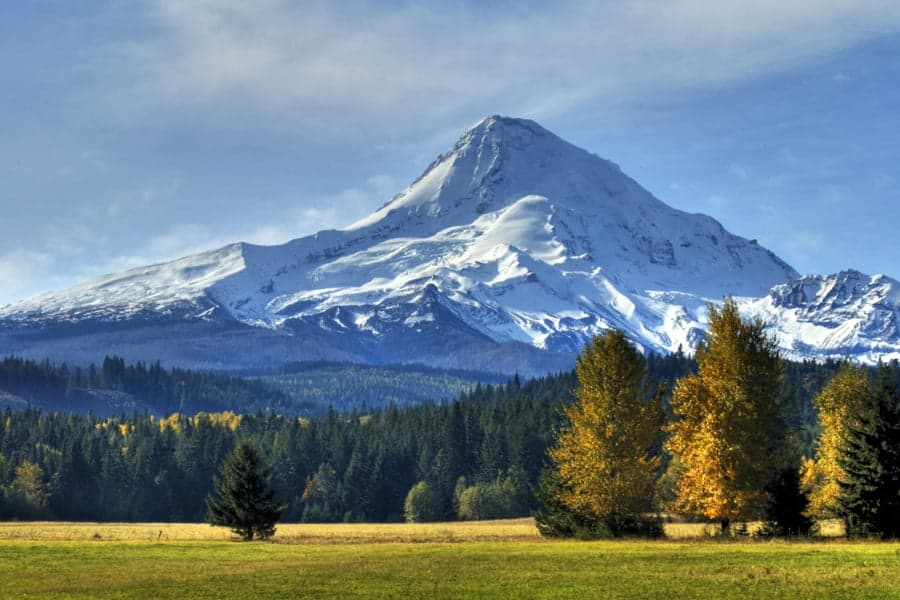
Photo: Wikipedia
Strategic Assessment of Clackamas County
Meaningful friction. Expect exposure to either population pressure, blast zones, or natural disaster risk. Consider buying a retreat property.
What does the Strategic Assessment tell us?
Our Strategic Assessment grades tactical survivability of an area. Major population centers, military targets, fallout zones, natural disasters, and border exposure all drive risk — lower exposure means a more defensible position in a crisis.
This is heavily inspired by Joel Skousen's Strategic Relocation book. Highly recommended you checkout the book ($)What does this tell us?
Our Strategic Assessment grades tactical survivability of an area. Major population centers, military targets, fallout zones, natural disasters, and border exposure all drive risk — lower exposure means a more defensible position in a crisis.
This is heavily inspired by Joel Skousen's Strategic Relocation book. Highly recommended you checkout the book ($)Strategic Pillars

Key Distances
Strategic Assessment Analysis
Clackamas County, Oregon, presents a complex strategic picture for the conservative prepper or survivalist. Its primary advantage is a unique blend of proximity to Portland’s economic and medical infrastructure while offering immediate access to the Cascade Range’s vast, defensible terrain. However, this same proximity to a major urban center and critical infrastructure makes it a high-risk zone for fallout, civil unrest, and resource competition. The county’s resilience is a double-edged sword: the natural resources are abundant, but the population density and choke points along the I-205 and Highway 26 corridors create significant vulnerabilities for anyone planning a long-term retreat.
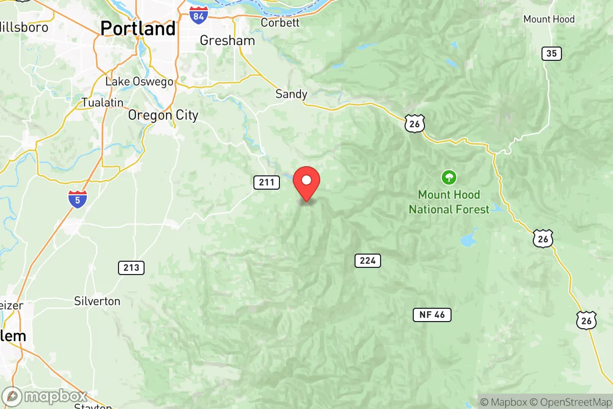
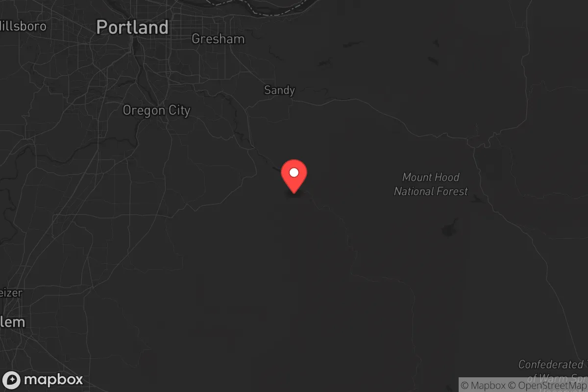
Geographic position and natural advantages for a strategic retreat
Clackamas County sits at the crossroads of the Willamette Valley and the Cascade foothills, offering a rare mix of lowland farmland and high-elevation forest. The western portion, including cities like Oregon City and Milwaukie, is suburban and dense, but the eastern half—areas around Estacada, Molalla, and the Mount Hood National Forest—transitions rapidly into rugged, sparsely populated terrain. This eastern zone is the real draw: it provides natural defensibility via steep canyons, dense timber, and limited road access. The Clackamas River watershed is a reliable water source, and the region’s volcanic soils support agriculture, though the growing season is short. For a relocator, the key is to secure property east of Highway 211, where population density drops sharply and the land offers both cover and resources. The proximity to the Port of Portland and Portland International Airport (PDX) is a double-edged sword—useful for supply runs in stable times, but a major liability during a collapse scenario, as those are high-value targets for both state and non-state actors.
Risks, exposures, and proximity to fallout-relevant landmarks
The biggest strategic liability is Clackamas County’s position relative to Portland’s urban core and its critical infrastructure. The Port of Portland handles significant cargo and fuel shipments, and the Portland International Airport is a major transportation hub. Both are prime targets for a conventional or EMP attack. Additionally, the Willamette River corridor, which runs through the county’s western edge, hosts several chemical storage facilities and rail lines carrying hazardous materials. A derailment or attack near Oregon City could contaminate the river and disrupt water supplies for miles downstream. The county is also within 50 miles of the Umatilla Chemical Depot (though decommissioned, the site still has legacy risks) and the Bonneville Dam on the Columbia River, a critical piece of the Pacific Northwest’s power grid. A strike on Bonneville would cause cascading blackouts across the region. For the prepper, the takeaway is clear: any retreat in the western half of the county is within the blast radius of Portland’s industrial targets. The eastern forests offer better standoff, but you’ll still be downwind of fallout if a major event hits the metro area. Civil unrest is a near-certainty in Portland’s suburbs during a crisis, and the I-205 corridor will become a no-go zone for anyone trying to move supplies or people.
Practical resilience for a relocator: food, water, energy, and defensibility
On the practical side, Clackamas County has strong natural advantages for a self-sufficient setup, but they require careful planning. Water is abundant—the Clackamas River, Sandy River, and numerous creeks provide year-round flow, but surface water needs filtration due to agricultural runoff and potential contamination from upstream industrial sites. Well drilling is feasible in the eastern foothills, but permits and depth requirements vary. Food production is viable in the lower elevations around Canby and Aurora, where the soil is rich and the climate supports vegetables, berries, and small livestock. However, the growing season is only about 150 days, so you’ll need a greenhouse or root cellar for winter storage. Energy independence is achievable with solar panels, but the region’s frequent cloud cover reduces output—plan for battery storage and a backup generator. Wood heating is a no-brainer given the surrounding forests, but be aware that firewood permits are required on public land. Defensibility is the strongest argument for the eastern zone: the terrain naturally funnels movement along a few roads (Highway 224 and Highway 211), which can be monitored or blocked. Neighbors are few and far between, and the culture in places like Estacada and Molalla leans heavily toward self-reliance and firearms ownership. That said, the county’s population of over 420,000 means that even the rural areas will see a flood of refugees from Portland during a crisis. You need to be prepared to secure your perimeter and have a plan for dealing with desperate people moving through the area.
The overall strategic picture for Clackamas County is one of high potential but equally high risk. It’s not a bug-out location for the faint of heart—you’re trading the immediate dangers of a major metro for the long-term challenges of a semi-remote mountain retreat. The eastern forests offer some of the best natural defensibility and resource availability in the Pacific Northwest, but you’ll be living in the shadow of Portland’s vulnerabilities. For a conservative relocator who values independence and is willing to invest in off-grid infrastructure, the area around Estacada or Molalla is a solid bet. But if you’re looking for a low-profile, low-risk zone far from any major target, you’d be better off looking at central Idaho or eastern Washington. Clackamas County is a frontier outpost, not a sanctuary—and that’s exactly why it appeals to those who understand that resilience comes with a price.
* Values derived from national, state, county, city and local statistics and may differ in a specific area. Last updated: 2026-05-12T14:40:46.000Z
Narrative content on this page is AI-generated and may contain mistakes. Verify any details that matter before acting on them.
ReloMaps may earn a commission from affiliate links at no extra cost to you.