
Photo: Wikipedia
Strategic Assessment of Columbia County
Meaningful friction. Expect exposure to either population pressure, blast zones, or natural disaster risk. Consider buying a retreat property.
What does the Strategic Assessment tell us?
Our Strategic Assessment grades tactical survivability of an area. Major population centers, military targets, fallout zones, natural disasters, and border exposure all drive risk — lower exposure means a more defensible position in a crisis.
This is heavily inspired by Joel Skousen's Strategic Relocation book. Highly recommended you checkout the book ($)What does this tell us?
Our Strategic Assessment grades tactical survivability of an area. Major population centers, military targets, fallout zones, natural disasters, and border exposure all drive risk — lower exposure means a more defensible position in a crisis.
This is heavily inspired by Joel Skousen's Strategic Relocation book. Highly recommended you checkout the book ($)Strategic Pillars

Key Distances
Strategic Assessment Analysis
Columbia County, Oregon, offers a strategic relocation option for those prioritizing resilience, self-sufficiency, and distance from major urban collapse zones. Situated in the northwestern corner of the state along the Columbia River, this county of roughly 53,000 residents provides a buffer from the worst-case scenarios of Portland’s potential unrest or a Cascadia Subduction Zone tsunami, while still maintaining access to critical supply routes. For the conservative-minded prepper or survivalist, the area’s combination of defensible terrain, abundant natural resources, and relative isolation from high-value targets makes it a serious contender for a long-term base of operations.
Geographic position and natural advantages for long-term security
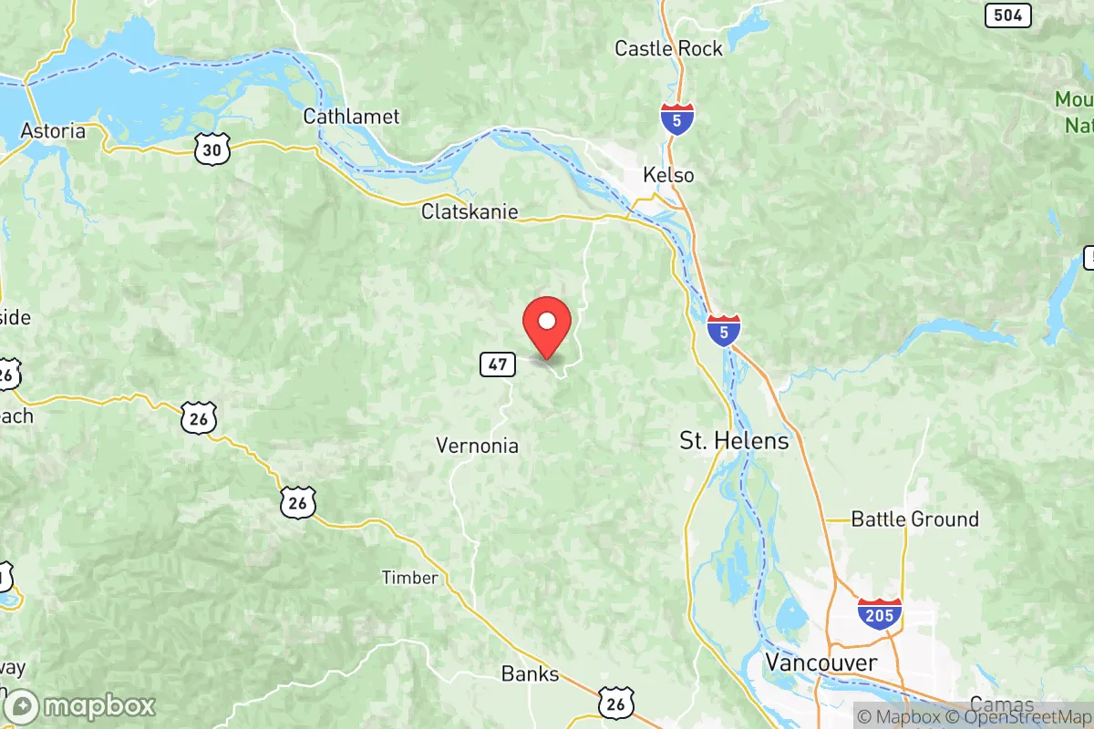
Columbia County’s geography is its primary strategic asset. The county sits at the confluence of the Columbia and Willamette Rivers, with the Coast Range to the west and the Cascade foothills to the east. This creates a natural funnel for movement—anyone approaching from the south or east must pass through narrow river corridors or over the Coast Range, both of which are easily defensible with minimal manpower. The county seat, St. Helens, is roughly 30 miles northwest of Portland, but the terrain and river crossings between them provide significant chokepoints. The town of Vernonia, nestled in the Coast Range, offers even deeper isolation, with limited road access and dense forest cover that could serve as a fallback position. The Columbia River itself is a double-edged sword: it’s a major transportation artery, but for a prepared group, it also provides a natural barrier to the north (Washington state) and a source of water and hydroelectric power. The county’s position west of the Portland metro area means prevailing winds would carry fallout from a Portland-area event eastward, away from Columbia County—a critical detail for those concerned with nuclear or industrial accidents.
Risks, exposures, and proximity to fallout-relevant landmarks
No location is without risk, and Columbia County has its share of vulnerabilities that a relocator must weigh. The most immediate concern is the Portland metro area, roughly 25 miles southeast of St. Helens. In a scenario of civil unrest, mass casualty events, or a major earthquake, Portland could become a source of refugees, looters, or worse. The county’s proximity to Interstate 5—the West Coast’s primary north-south corridor—means that any disruption in Portland could send traffic and desperate people through Columbia County’s main arteries, particularly Highway 30 and Highway 47. Additionally, the Port of St. Helens and the Port of Columbia County (including the deep-water port at Rainier) are industrial hubs that handle chemicals, aggregates, and shipping containers. While not on the scale of a refinery corridor, these ports could become secondary targets in a broader conflict or economic collapse. The Trojan Nuclear Plant, decommissioned and located just south of Rainier, is a spent fuel storage site—not an active reactor, but still a potential radiological hazard if compromised by earthquake or sabotage. The Cascadia Subduction Zone earthquake risk is real; the county would experience severe shaking, but its inland position spares it from the tsunami that would devastate coastal communities like Astoria or Seaside. Landslides along the Coast Range roads (especially Highway 47 near Vernonia) are a recurring issue that could cut off retreat routes.
Practical resilience for a relocator: food, water, energy, and defensibility
For a family or individual looking to live off the land or maintain a low-profile operation, Columbia County offers strong fundamentals. Water is abundant: the Columbia River is the obvious source, but dozens of smaller rivers and creeks—the Nehalem, the Clatskanie, the Scappoose—run through the county, providing year-round flow. Well water is common in rural areas, and the county’s rainfall (roughly 50-60 inches annually in the Coast Range) makes rainwater catchment highly viable. Food production is feasible but requires work. The valley floors near St. Helens and Scappoose have decent agricultural soil, but the county is not a breadbasket—think small-scale vegetable gardens, orchards, and livestock rather than grain fields. The Coast Range offers abundant game (deer, elk, black bear) and timber for construction and fuel. Energy is a mixed bag: the county is served by the Bonneville Power Administration grid, which is relatively stable, but a Cascadia event could knock it out for weeks. Solar is viable in the summer, but the long, overcast winters (November through February) make battery storage and backup generators essential. Defensibility is the county’s standout feature. The terrain—steep hills, dense forests, and river barriers—means that a small, organized group could control key access points. The town of Vernonia, for example, sits in a valley with only two main roads in and out; a determined group could block both with minimal effort. The county’s low population density (roughly 80 people per square mile, with most clustered in the river towns) means fewer potential threats from neighbors, but also fewer allies—so building a network of like-minded locals before a crisis is critical.
The overall strategic picture for Columbia County is one of calculated trade-offs. It offers genuine advantages for those seeking to avoid the worst of urban collapse, natural disaster fallout, and industrial target zones, while still being close enough to Portland to access medical care, supplies, or intelligence before a crisis fully unfolds. The key is to treat the county as a secondary or tertiary fallback position, not a primary bug-out location—its proximity to Portland and the I-5 corridor means you’ll want to be prepared to move deeper into the Coast Range or east toward the Cascades if the situation deteriorates. For the conservative prepper who values terrain, water, and defensibility over agricultural self-sufficiency, Columbia County is a solid, if not perfect, choice. Just don’t expect to grow wheat—expect to hunt, fish, and trade with neighbors who think the same way.
* Values derived from national, state, county, city and local statistics and may differ in a specific area. Last updated: 2026-05-22T10:28:56.000Z
Narrative content on this page is AI-generated and may contain mistakes. Verify any details that matter before acting on them.
ReloMaps may earn a commission from affiliate links at no extra cost to you.