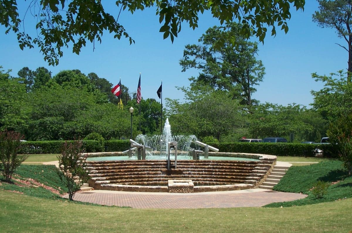
Photo: Wikipedia
Strategic Assessment of Peachtree City, GA
Meaningful friction. Expect exposure to either population pressure, blast zones, or natural disaster risk. Consider buying a retreat property.
What does the Strategic Assessment tell us?
Our Strategic Assessment grades tactical survivability of an area. Major population centers, military targets, fallout zones, natural disasters, and border exposure all drive risk — lower exposure means a more defensible position in a crisis.
This is heavily inspired by Joel Skousen's Strategic Relocation book. Highly recommended you checkout the book ($)What does this tell us?
Our Strategic Assessment grades tactical survivability of an area. Major population centers, military targets, fallout zones, natural disasters, and border exposure all drive risk — lower exposure means a more defensible position in a crisis.
This is heavily inspired by Joel Skousen's Strategic Relocation book. Highly recommended you checkout the book ($)Strategic Pillars

Key Distances
Regional Safe Places
Below is our recommended "safe zones" in Georgia and the surrounding area based on our strategic heuristics. For most people, it's unrealistic to live in a “safe zone” full-time due to work, family or other personal reasons. They tend to be more rural. However, many of these areas are perfect for second homes and retreat properties that double as a vacation home or even a short-term rental.


Important Note: For informational purposes only. This does not mean nothing bad ever happens in the green zones. Please use common sense. This is based on public data and modeled with AI. We tried to take a conservative approach but mistakes happen. We update this regularly as new information becomes available.
Solar Generator Recommendations
Backup power matters more here than in safer locations. We've picked three solar generators across budgets and capacity tiers — start with the budget unit if you only need a few essentials, or step up if you want to run a fridge and HVAC for days at a time.

Jackery Portable Power Station Explorer 300
Budget OptionPower on the Go: Weighing only 11 lbs, it's convenient to set up and store with book-sized foldable solar panels

BLUETTI Portable Power Station AC180
Designed for both indoor and outdoor scenarios, AC180 is highly capable as it has a robost capacity and continuous output power.

EF ECOFLOW DELTA Pro Ultra Power Station
Upgraded PickEcoFlow DELTA Pro Ultra is a whole-home energy system designed to grow with your family. Integrated with the Smart Home Panel 2, it scales to meet your evolving energy needs — keeping your home powered, intelligent, and secure through every stage of life.
We earn a commission, at no additional cost to you.
Strategic Assessment Analysis
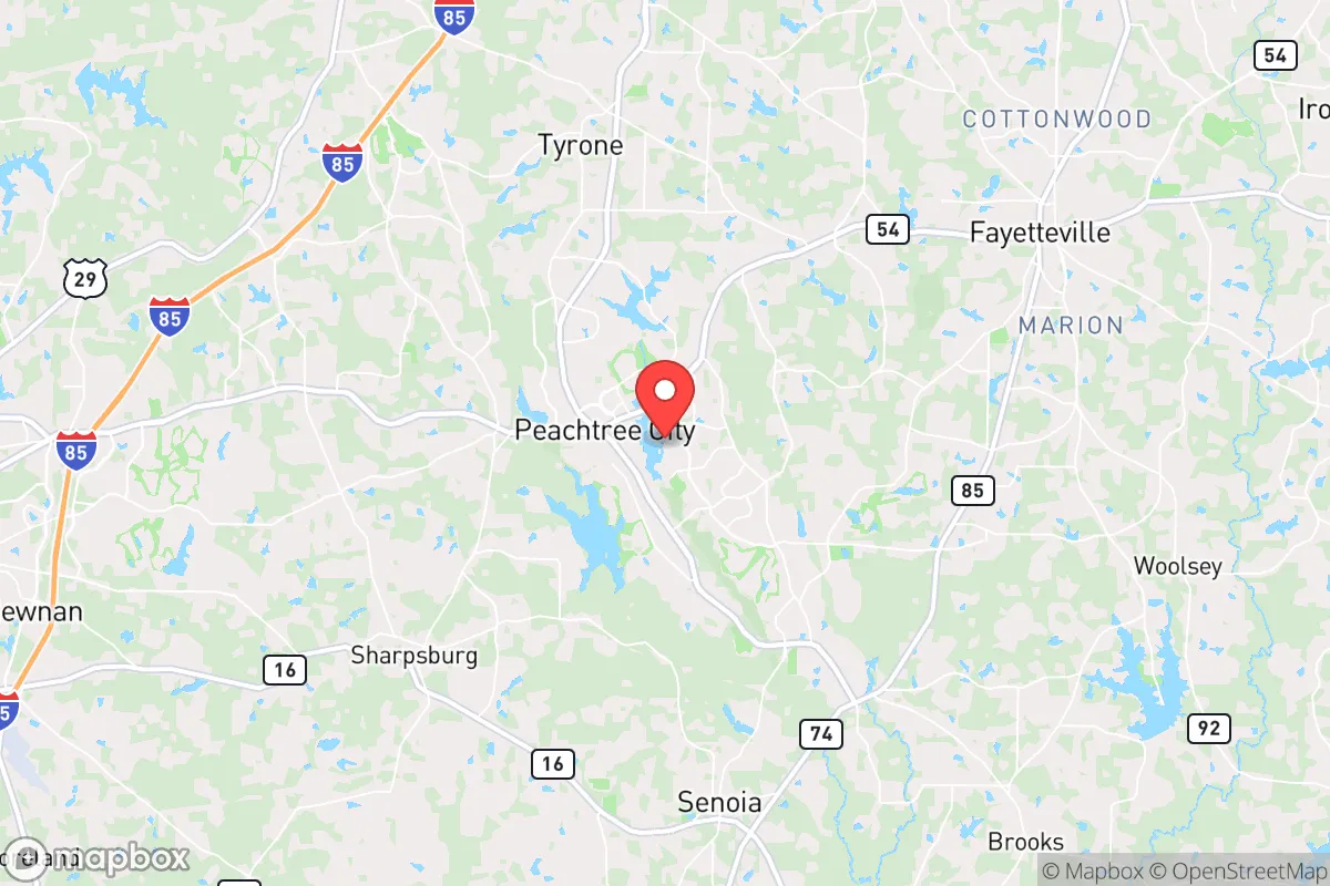
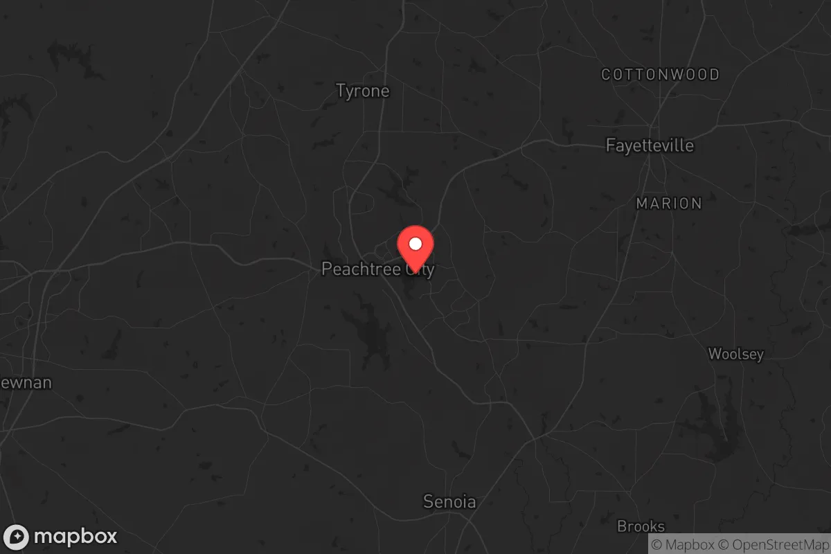
Peachtree City, Georgia, offers a rare combination of strategic depth and everyday livability that makes it a serious contender for anyone thinking long-term about security and stability. Located roughly 30 miles southwest of Atlanta, this planned community of about 40,000 residents sits in a sweet spot—close enough to a major metro for supply access and employment, yet far enough to avoid the immediate chaos of a major urban collapse. The city’s famous 100+ miles of golf cart paths aren’t just a quirky amenity; they form a decentralized, low-profile transportation network that could prove invaluable if main roads become clogged or contested. For a conservative-leaning relocator weighing the risks of civil unrest, supply chain disruptions, or natural disasters, Peachtree City’s deliberate design and geographic positioning provide a foundation worth examining closely.
Geographic position and natural advantages for long-term stability
Peachtree City’s location in Fayette County places it on the southern edge of the Atlanta metropolitan sprawl, where suburban density gives way to more rural, forested terrain. The area sits atop the Piedmont plateau, characterized by rolling hills, clay soils, and abundant hardwood forests—terrain that offers natural drainage and limits flood risk compared to coastal or river-bottom communities. The city is roughly 45 minutes from Hartsfield-Jackson Atlanta International Airport, a major logistical hub, but that proximity is a double-edged sword: it’s a resource for supply lines but also a potential target during a crisis. More importantly, Peachtree City is not near any major fault lines, nuclear power plants, or known chemical storage facilities that would pose immediate fallout dangers. The nearest nuclear facility, Plant Vogtle, is over 150 miles away near Augusta, well outside the typical 50-mile emergency planning zone. The city’s water supply comes from the Chattahoochee River via Lake Lanier and local reservoirs, a system that is generally reliable but could face pressure during a prolonged drought or infrastructure failure. For a prepper, the key natural advantage here is the combination of defensible terrain, moderate climate (no hurricanes, rare tornadoes, minimal wildfire risk), and distance from high-value targets like military bases or major industrial complexes.
Risks, exposures, and proximity to fallout-relevant landmarks
No location is without vulnerabilities, and Peachtree City’s biggest risk is its proximity to Atlanta. In a scenario involving widespread civil unrest, mass casualty events, or a coordinated attack on infrastructure, Atlanta’s 6 million residents would likely push outward along major corridors like I-85, I-75, and I-20. Peachtree City sits near the intersection of GA-74 and GA-54, both of which connect to the interstate system, making it a potential secondary target for looters or refugees fleeing the city. The city’s golf cart paths, while useful for local movement, also create a network of unsecured access points that could be exploited if not monitored. Additionally, the area is within 100 miles of Dobbins Air Reserve Base and Fort Moore (formerly Fort Benning), both of which could become staging areas for military operations during a national emergency—bringing both potential protection and unwanted attention. The Hartsfield-Jackson airport, a global hub, is a prime target for any adversary seeking to disrupt U.S. logistics, and its proximity means Peachtree City could experience fallout from a strike or accident, though prevailing winds generally blow from the west, pushing debris away from the city. For a prepper, the calculus is clear: Peachtree City’s risks are manageable with proper planning, but ignoring the Atlanta factor would be a mistake.
Practical resilience for a relocator: food, water, energy, and defensibility
Peachtree City’s planned nature gives it a head start on practical resilience. The city is divided into five distinct villages—Aberdeen, Braelinn, Glenloch, Kedron, and Wilksmoor—each with its own commercial center, schools, and recreational facilities. This decentralized layout means that a disruption in one area doesn’t cripple the whole community. For food security, the surrounding Fayette County has a growing number of small farms, farmers’ markets, and community gardens, though the area is not a major agricultural producer. Stockpiling and establishing a home garden are realistic options, given the typical 1/3 to 1/2 acre lots in many neighborhoods. Water is the bigger concern: the city’s municipal supply is treated and reliable, but a long-term grid failure would require private wells or rainwater catchment. Most homes in Peachtree City are on city water, so a well-drilling permit and backup pump should be on any relocator’s checklist. Energy resilience is solid—Georgia Power’s grid is generally stable, but solar panels with battery storage are becoming more common, and the area’s tree canopy provides natural shade and passive cooling. Defensibility is where Peachtree City shines: the golf cart paths create a low-visibility movement network, the planned cul-de-sacs and winding roads naturally slow vehicle traffic, and the community’s strong homeowners’ associations and police presence (Fayette County has one of the lowest crime rates in Georgia) provide a baseline of order. For a family, the schools are top-rated (McIntosh High School is consistently among the best in the state), and the local economy is anchored by stable employers like Panasonic Automotive, Cooper Lighting, and Piedmont Healthcare, reducing the need for long commutes into Atlanta.
The overall strategic picture for Peachtree City is one of calculated advantage. It’s not a remote bunker—it’s a well-designed, middle-class community that offers a realistic balance of security, resources, and quality of life. The proximity to Atlanta is a liability, but one that can be mitigated with situational awareness, a solid bug-out plan, and a network of like-minded neighbors. The city’s planned infrastructure, low crime, and strong local governance make it a place where a conservative-minded relocator can build a sustainable life without feeling like they’re living in a fortress. For those serious about preparedness, Peachtree City deserves a hard look—not as a perfect escape, but as a solid foundation for weathering whatever comes next.
* Values derived from national, state, county, city and local statistics and may differ in a specific area. Last updated: 2026-04-23T05:27:54.000Z
Narrative content on this page is AI-generated and may contain mistakes. Verify any details that matter before acting on them.
ReloMaps may earn a commission from affiliate links at no extra cost to you.