
Photo: Wikipedia
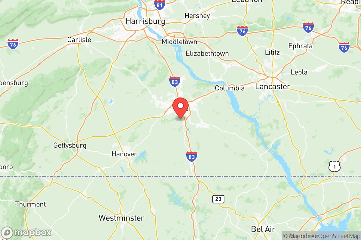
Strategic Assessment of York County
Meaningful friction. Expect exposure to either population pressure, blast zones, or natural disaster risk. Consider buying a retreat property.
What does the Strategic Assessment tell us?
Our Strategic Assessment grades tactical survivability of an area. Major population centers, military targets, fallout zones, natural disasters, and border exposure all drive risk — lower exposure means a more defensible position in a crisis.
This is heavily inspired by Joel Skousen's Strategic Relocation book. Highly recommended you checkout the book ($)What does this tell us?
Our Strategic Assessment grades tactical survivability of an area. Major population centers, military targets, fallout zones, natural disasters, and border exposure all drive risk — lower exposure means a more defensible position in a crisis.
This is heavily inspired by Joel Skousen's Strategic Relocation book. Highly recommended you checkout the book ($)Strategic Pillars

Key Distances
Strategic Assessment Analysis
York County, Pennsylvania, sits in a sweet spot that few relocators fully appreciate: close enough to the economic engines of the Northeast to matter, but far enough from the blast zones and unrest corridors to offer genuine breathing room. The county’s resilience isn’t accidental—it’s baked into its geography, its infrastructure, and its stubbornly independent population. For a conservative-leaning individual or family thinking long-term about security, self-sufficiency, and staying off the grid when the grid wobbles, this is a place worth a hard look.
Geographic position and natural advantages: why York County sits at a strategic crossroads
York County anchors the south-central edge of Pennsylvania, with the Susquehanna River forming its eastern boundary and the Maryland line running along its southern flank. The county seat, York, sits roughly 50 miles north of Baltimore and 90 miles west of Philadelphia—close enough for occasional supply runs or medical access, but far enough that the chaos of those cities won’t wash over you overnight. The terrain is rolling Piedmont hills, not mountain passes, which means good farmland, decent water tables, and enough elevation to avoid the flood risks that plague river towns downstream. The Susquehanna itself is a major freshwater artery, and the county’s position along the I-83 corridor gives direct north-south access without being a chokepoint that every evacuee will clog. Natural springs and limestone aquifers are common in the western half of the county, particularly around Hanover and Gettysburg (just over the Adams County line), offering reliable off-grid water sources that don’t depend on municipal treatment plants. The growing season runs about 170 days, long enough for serious gardening, and the soil in the Codorus Valley is some of the best in the state for row crops. For a relocator thinking about food security, that’s not a footnote—it’s a foundation.
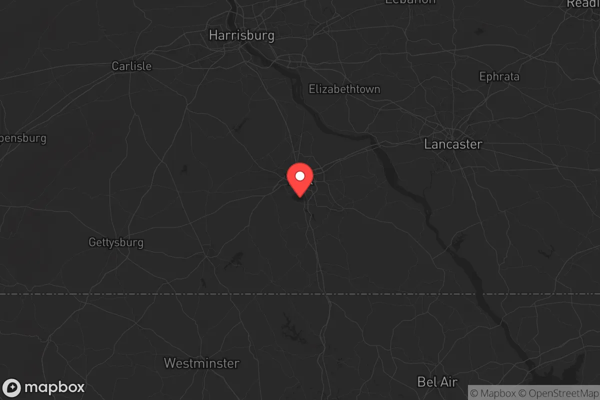
Risks, exposures, and proximity to fallout-relevant landmarks
No honest strategic assessment ignores the downsides, and York County has a few you need to weigh. The most obvious risk is Three Mile Island, the decommissioned nuclear plant about 25 miles northeast of York city, on the Susquehanna near Middletown. While the reactors are shut down and spent fuel is in dry cask storage, a catastrophic event—terrorist strike, structural failure, or a cascading grid failure that disrupts cooling—could still release radioactive material. The prevailing winds in this region run west to east, which means fallout from TMI would push toward Lancaster and Philadelphia, not directly over York County, but the southern and eastern parts of the county could see contamination depending on the season. Closer to home, the York Haven Dam on the Susquehanna is a hydroelectric facility that, if breached, could flood low-lying areas along the river in Wrightsville and Columbia. That’s a localized risk, not a county-wide one, but it matters if you’re looking at riverfront property. On the human-caused threat side, York city itself has seen periodic civil unrest—most notably in 1969 during race riots, and more recently in 2020 during the George Floyd protests, which included fires and property damage downtown. The county’s population is roughly 460,000, with about 45,000 in the city proper; the rest is spread across small towns and rural townships. That density is low enough to avoid the worst of urban collapse scenarios, but the city does have a history of gang activity and drug trafficking along the US-30 corridor. For a relocator, the calculus is simple: avoid the city core, stick to the western and southern townships, and you’re largely insulated from the kind of cascading social breakdown that hits dense urban centers first.
Practical resilience for a relocator: food, water, energy, and defensibility
This is where York County earns its keep. The county has a deep agricultural base—over 1,200 farms covering nearly half the land area—with major production in corn, soybeans, dairy, and poultry. The York County Agricultural Cooperative in Dover and the Hanover Farmers Market are year-round sources of bulk grains, feed, and fresh produce that don’t depend on the national supply chain. For water, the Susquehanna is the obvious backbone, but the county’s real advantage is its groundwater. The Gettysburg-Newark Lowland aquifer system runs under the western half of the county, providing shallow wells that produce 10-50 gallons per minute in most areas—enough for a family and a small garden without deep drilling. Energy resilience is mixed: the grid is served by PPL and Met-Ed, both of which have average reliability compared to rural Pennsylvania, but the county has no major natural gas storage or refinery infrastructure that would make it a target. The Peach Bottom Atomic Power Station is about 15 miles southeast of York, near Delta, and while it’s an active nuclear plant, its security perimeter is tight and the risk of a worst-case event is low. For defensibility, the terrain is open enough to give good lines of sight but hilly enough to provide natural cover. The Codorus State Park area and the Lake Redman watershed offer remote pockets with limited road access—ideal for a bug-out location or a homestead that doesn’t want uninvited visitors. The county’s gun culture is strong, with multiple shooting ranges and a high rate of concealed carry permits, which matters if you’re thinking about self-defense in a prolonged disruption. The local sheriff’s office in York and the state police barracks in Loganville are professional and well-funded, but in a real crisis, you’re mostly on your own—and the locals understand that.
The overall strategic picture for York County is one of calculated advantage. It’s not a remote mountain redoubt, and it’s not a fortified compound—it’s a working agricultural county with a solid industrial base, a conservative-leaning population that values self-reliance, and a geography that buffers it from the worst of what’s coming. The proximity to Baltimore and Philadelphia is a double-edged sword: it gives you access to major medical centers and supply chains when things are stable, but it also means you’ll see the first wave of refugees if those cities collapse. The key is to position yourself in the western or southern townships—Manheim Township, Heidelberg Township, or the area around Glen Rock—where population density drops, water is plentiful, and you’re off the main evacuation routes. If you’re looking for a place that balances access with isolation, that has real food and water security without requiring you to live off-grid in a cabin, and that sits far enough from the fallout zones and unrest hotspots to give you time to react, York County deserves a spot on your short list. Just don’t buy near the river, don’t get too close to the city limits, and keep a good map of the back roads—because when the highways clog, the people who know the farm lanes are the ones who get where they’re going.
* Values derived from national, state, county, city and local statistics and may differ in a specific area. Last updated: 2026-05-13T01:58:18.000Z
Narrative content on this page is AI-generated and may contain mistakes. Verify any details that matter before acting on them.
ReloMaps may earn a commission from affiliate links at no extra cost to you.