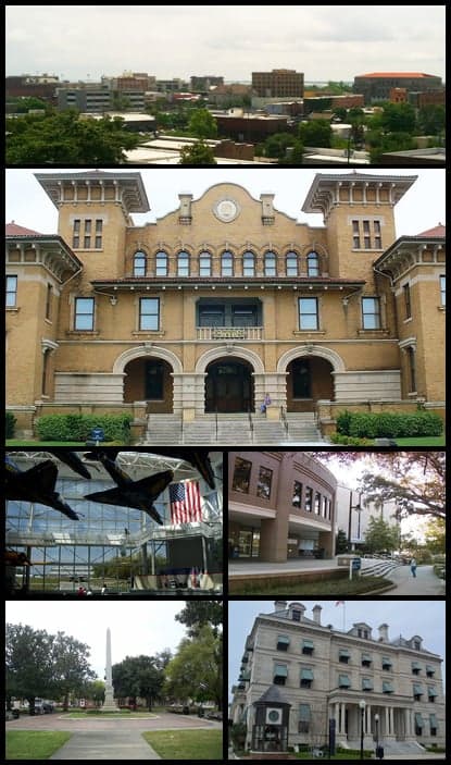

Photo: Wikipedia
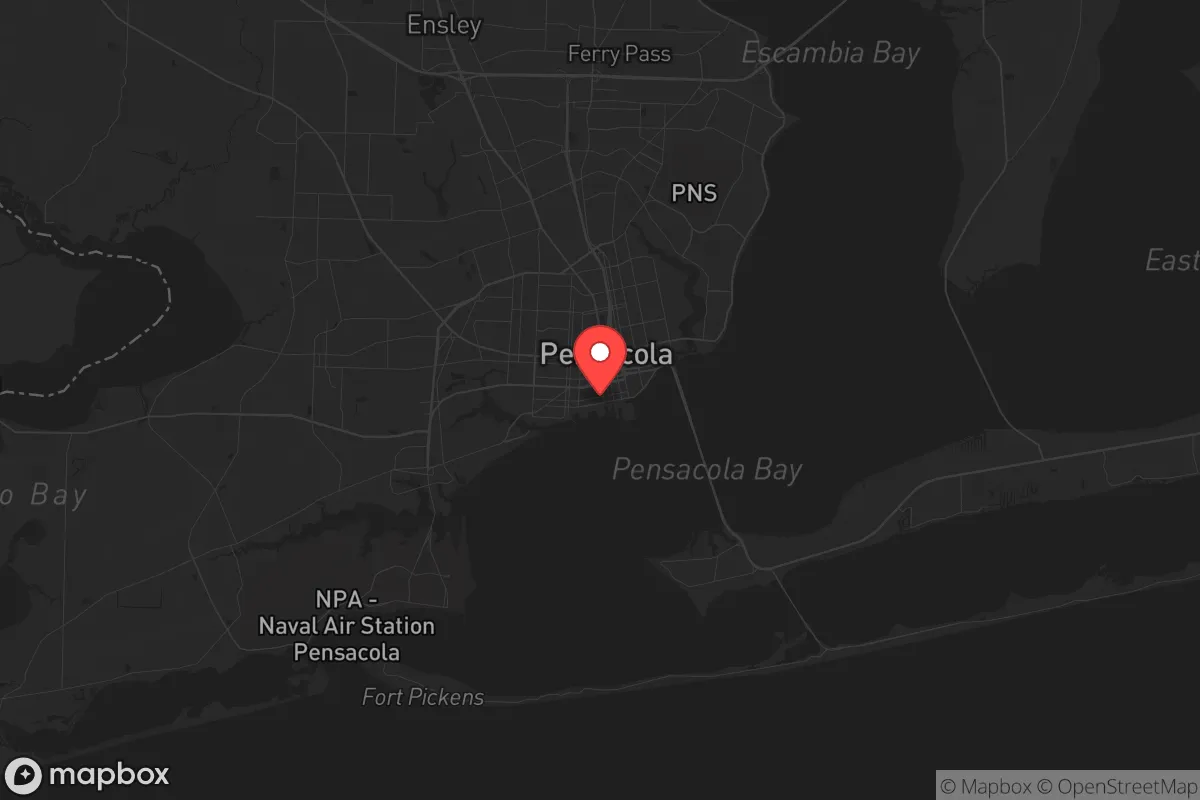
Strategic Assessment of Pensacola, FL
Meaningful friction. Expect exposure to either population pressure, blast zones, or natural disaster risk. Consider buying a retreat property.
What does the Strategic Assessment tell us?
Our Strategic Assessment grades tactical survivability of an area. Major population centers, military targets, fallout zones, natural disasters, and border exposure all drive risk — lower exposure means a more defensible position in a crisis.
This is heavily inspired by Joel Skousen's Strategic Relocation book. Highly recommended you checkout the book ($)What does this tell us?
Our Strategic Assessment grades tactical survivability of an area. Major population centers, military targets, fallout zones, natural disasters, and border exposure all drive risk — lower exposure means a more defensible position in a crisis.
This is heavily inspired by Joel Skousen's Strategic Relocation book. Highly recommended you checkout the book ($)Strategic Pillars

Key Distances
Regional Safe Places
Below is our recommended "safe zones" in Florida and the surrounding area based on our strategic heuristics. For most people, it's unrealistic to live in a “safe zone” full-time due to work, family or other personal reasons. They tend to be more rural. However, many of these areas are perfect for second homes and retreat properties that double as a vacation home or even a short-term rental.

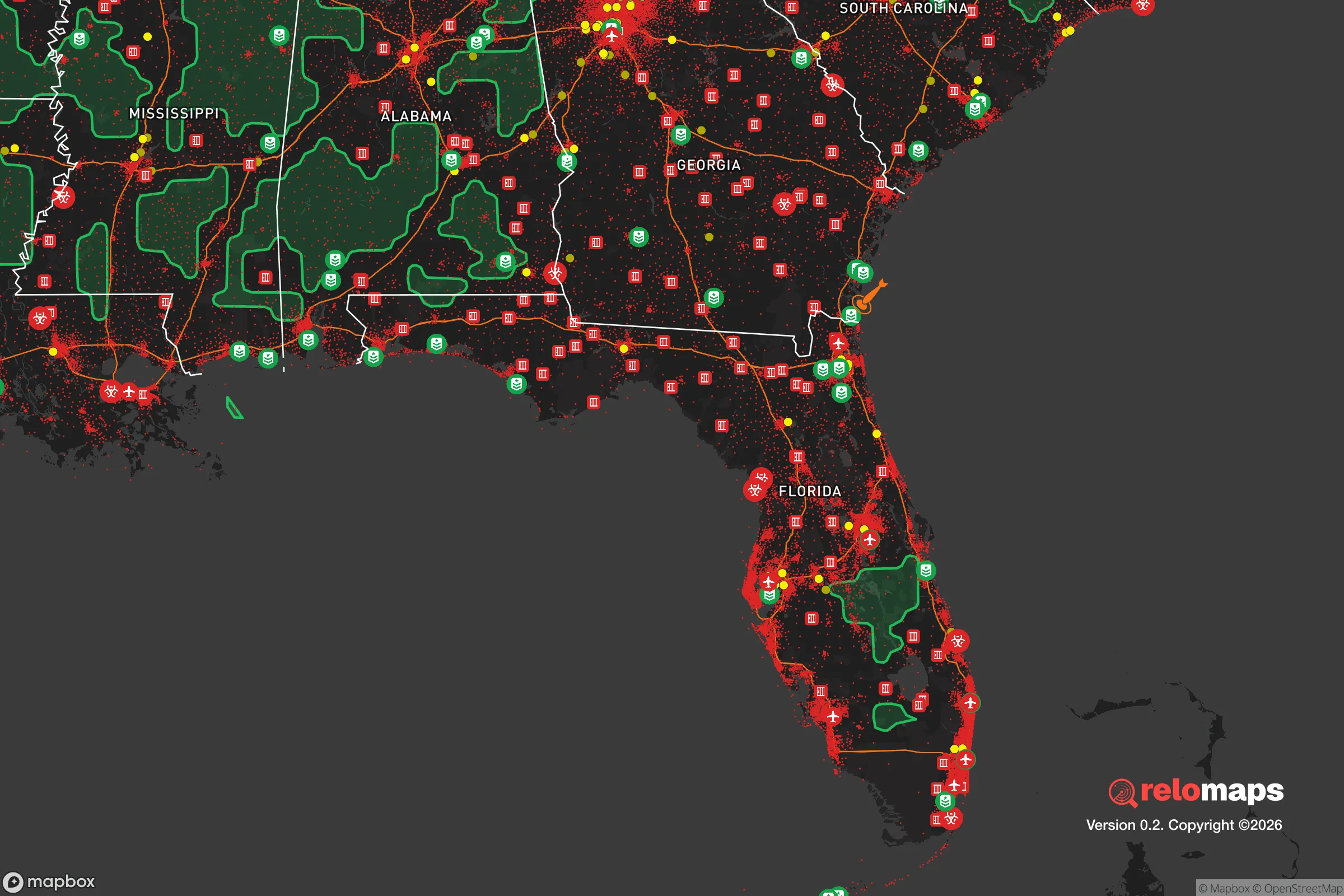
Important Note: For informational purposes only. This does not mean nothing bad ever happens in the green zones. Please use common sense. This is based on public data and modeled with AI. We tried to take a conservative approach but mistakes happen. We update this regularly as new information becomes available.
Solar Generator Recommendations
Backup power matters more here than in safer locations. We've picked three solar generators across budgets and capacity tiers — start with the budget unit if you only need a few essentials, or step up if you want to run a fridge and HVAC for days at a time.

Jackery Portable Power Station Explorer 300
Budget OptionPower on the Go: Weighing only 11 lbs, it's convenient to set up and store with book-sized foldable solar panels

BLUETTI Portable Power Station AC180
Designed for both indoor and outdoor scenarios, AC180 is highly capable as it has a robost capacity and continuous output power.

EF ECOFLOW DELTA Pro Ultra Power Station
Upgraded PickEcoFlow DELTA Pro Ultra is a whole-home energy system designed to grow with your family. Integrated with the Smart Home Panel 2, it scales to meet your evolving energy needs — keeping your home powered, intelligent, and secure through every stage of life.
We earn a commission, at no additional cost to you.
Strategic Assessment Analysis
Pensacola, Florida, occupies a unique strategic position at the westernmost edge of the Florida Panhandle, offering a blend of coastal access and relative isolation from the major population corridors that pose risks during widespread unrest or disaster. Its location on the Gulf of Mexico provides a natural buffer against the worst of inland chaos, while its proximity to the Alabama state line places it just outside the direct orbit of larger, more volatile cities like Mobile or Tallahassee. For a relocator thinking in terms of long-term resilience, Pensacola presents a mixed bag: genuine geographic advantages in terms of escape routes and resource access, but also real exposure to hurricane threats and the fallout from nearby military and industrial infrastructure. This assessment breaks down the area’s strategic value for someone preparing for civic unrest, mass casualty events, or large-scale disasters.
Geographic position and natural advantages for long-term survival
Pensacola sits on a deep-water bay, giving it a maritime advantage that few inland retreats can match. The Gulf of Mexico offers a potential escape route by boat, which is a significant asset if road networks become compromised during a crisis. The area is also flanked by the Blackwater River State Forest to the east and the Escambia River to the west, providing natural barriers and access to fresh water, timber, and game. The climate is subtropical, meaning a longer growing season than most of the country, which supports year-round food production if you have the land and know-how. The local aquifer, the Sand-and-Gravel Aquifer, is generally reliable, though it’s shallow and vulnerable to saltwater intrusion during storm surges. For a relocator, the key takeaway is that Pensacola’s geography offers defensible positions along the coast and inland waterways, but you’ll want to secure property at least 10–15 miles inland to avoid the worst of hurricane storm surge and the chaos of coastal evacuation zones.
Risks, exposures, and proximity to fallout-relevant landmarks
The biggest strategic downside is Pensacola’s proximity to Naval Air Station Pensacola, a major military installation that trains naval aviators and houses the Blue Angels. While the base provides a local economic anchor and a potential source of order during a crisis, it also makes the area a high-value target for any adversary—whether foreign or domestic—looking to disrupt military operations. In a mass casualty event or civil unrest scenario, the base could become a focal point for federal response, drawing in crowds, checkpoints, or even martial law enforcement. Additionally, the nearby Escambia County landfill and the Chemours facility (a chemical plant) pose environmental risks; a hurricane or industrial accident could release hazardous materials into the air or water. The area is also within 200 miles of the Hurlburt Field and Eglin Air Force Base complexes, meaning the entire Panhandle is saturated with military infrastructure that could become a liability if the federal government turns inward. For a prepper, this means Pensacola is not a true “off-grid” retreat—it’s a semi-urban area with a high concentration of government assets that could attract trouble.
Practical resilience for a relocator: food, water, energy, and defensibility
On the practical side, Pensacola has some real strengths for a relocator building a resilient setup. The local soil is sandy but workable, and with raised beds or greenhouse systems, you can grow citrus, greens, and root vegetables year-round. Freshwater access is decent if you’re on well water, but municipal supplies are vulnerable to storm damage and contamination. Rainwater catchment is a must, and the area gets about 65 inches of rain annually, so you can store plenty if you have the tank capacity. Energy-wise, solar is viable—Pensacola averages over 220 sunny days per year—but you’ll need a robust battery system to handle the humidity and occasional cloudy spells. Defensibility is mixed: the flat, piney terrain offers limited natural cover, but the many creeks, bayous, and marshes create natural chokepoints. A rural property with a long driveway and a good view of approach roads is ideal. The local population is generally conservative and self-reliant, with a strong hunting and fishing culture, which means you’ll find like-minded neighbors if you network through churches, gun clubs, or prepper meetups. However, the area also has a significant poverty rate (around 20%), which could lead to desperation during a prolonged crisis—so securing your perimeter and building community trust is critical.
Overall, Pensacola offers a strategic middle ground for the conservative relocator: it’s not a remote bunker, but it’s far enough from the major urban collapse zones to give you a fighting chance. The military presence is a double-edged sword—it provides a potential stabilizing force but also a target. The hurricane risk is real, but with proper construction and supplies, it’s manageable. For a single individual or family willing to invest in a well, solar, and a boat, Pensacola can serve as a launch point for coastal survival or a fallback position if the interior becomes untenable. Just don’t expect to disappear completely—this is a community that will require you to engage, prepare, and plan for the worst while hoping for the best.
* Values derived from national, state, county, city and local statistics and may differ in a specific area. Last updated: 2026-04-19T06:57:09.000Z
Narrative content on this page is AI-generated and may contain mistakes. Verify any details that matter before acting on them.
ReloMaps may earn a commission from affiliate links at no extra cost to you.