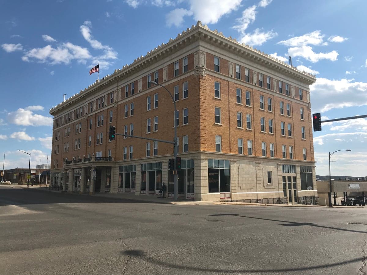
Photo: Wikipedia
Strategic Assessment of Pierre, SD
Workable tactical position. Some exposure to population density or targets, but generally defensible in a crisis.
What does the Strategic Assessment tell us?
Our Strategic Assessment grades tactical survivability of an area. Major population centers, military targets, fallout zones, natural disasters, and border exposure all drive risk — lower exposure means a more defensible position in a crisis.
This is heavily inspired by Joel Skousen's Strategic Relocation book. Highly recommended you checkout the book ($)What does this tell us?
Our Strategic Assessment grades tactical survivability of an area. Major population centers, military targets, fallout zones, natural disasters, and border exposure all drive risk — lower exposure means a more defensible position in a crisis.
This is heavily inspired by Joel Skousen's Strategic Relocation book. Highly recommended you checkout the book ($)Strategic Pillars

Key Distances
Regional Safe Places
Below is our recommended "safe zones" in South Dakota and the surrounding area based on our strategic heuristics. For most people, it's unrealistic to live in a “safe zone” full-time due to work, family or other personal reasons. They tend to be more rural. However, many of these areas are perfect for second homes and retreat properties that double as a vacation home or even a short-term rental.


Important Note: For informational purposes only. This does not mean nothing bad ever happens in the green zones. Please use common sense. This is based on public data and modeled with AI. We tried to take a conservative approach but mistakes happen. We update this regularly as new information becomes available.
Solar Generator Recommendations
Backup power matters more here than in safer locations. We've picked three solar generators across budgets and capacity tiers — start with the budget unit if you only need a few essentials, or step up if you want to run a fridge and HVAC for days at a time.

Jackery Portable Power Station Explorer 300
Budget OptionPower on the Go: Weighing only 11 lbs, it's convenient to set up and store with book-sized foldable solar panels

BLUETTI Portable Power Station AC180
Designed for both indoor and outdoor scenarios, AC180 is highly capable as it has a robost capacity and continuous output power.

EF ECOFLOW DELTA Pro Ultra Power Station
Upgraded PickEcoFlow DELTA Pro Ultra is a whole-home energy system designed to grow with your family. Integrated with the Smart Home Panel 2, it scales to meet your evolving energy needs — keeping your home powered, intelligent, and secure through every stage of life.
We earn a commission, at no additional cost to you.
Strategic Assessment Analysis
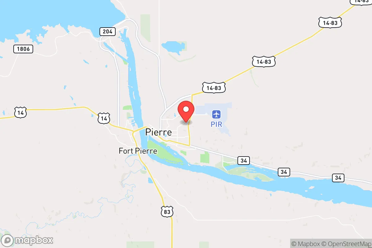
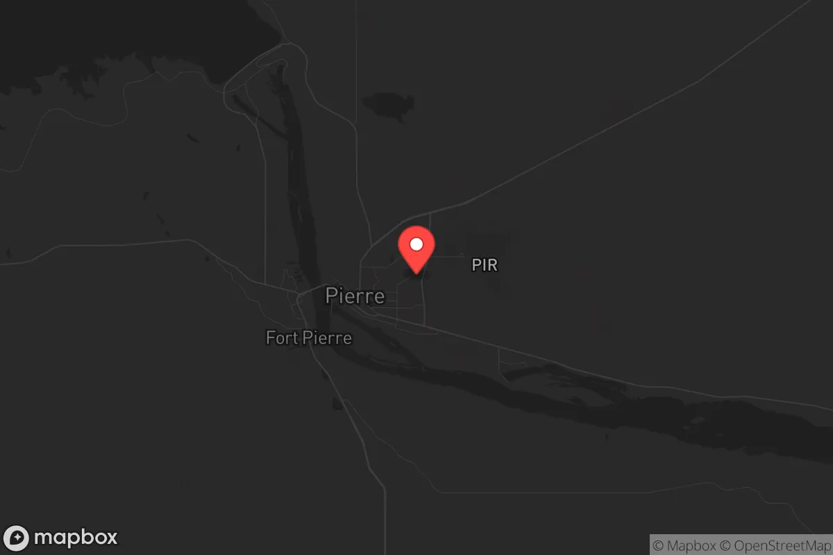
Pierre, South Dakota, presents a compelling case for those prioritizing long-term strategic relocation, particularly when viewed through a lens of resilience and self-sufficiency. As the least populous state capital in the United States, with a metro area hovering around 20,000 residents, it offers a combination of low population density, geographic isolation, and a governance structure that remains relatively insulated from the chaos of coastal urban centers. For the individual or family preparing for potential civic unrest, supply chain disruptions, or large-scale disasters, Pierre’s core advantage is its position as a quiet, defensible hub in the Great Plains—far removed from the primary fallout zones of major metropolitan areas, yet still connected to essential infrastructure and state-level decision-making.
Geographic position and natural advantages for long-term security
Pierre’s location in central South Dakota, on the eastern bank of the Missouri River, is a double-edged sword that leans heavily in favor of strategic advantage. The city sits at the crossroads of major highways (US-14 and US-83) and is roughly 200 miles from the nearest major population centers—Sioux Falls to the southeast and Rapid City to the west. This distance is a critical buffer. In the event of a mass casualty event or civil unrest in larger cities, Pierre is far enough to avoid immediate spillover effects, yet close enough to serve as a staging area for those who have prepared. The Missouri River provides a reliable, year-round water source, which is a non-negotiable asset for any long-term survival scenario. The surrounding landscape is predominantly flat, open prairie and rolling hills, offering clear sightlines and limited natural cover for potential threats—a mixed blessing that favors those with a prepared, defensible homestead over those relying on urban concealment. The region’s low seismic activity and absence of hurricane or wildfire risk (outside of occasional grassland fires) further reduce the likelihood of natural disasters compounding a man-made crisis.
Risks, exposures, and proximity to fallout-relevant landmarks
No location is without vulnerabilities, and Pierre’s primary exposure is its proximity to the Ellsworth Air Force Base near Rapid City, roughly 170 miles west. While not a direct target in a limited conflict, Ellsworth is home to B-1B Lancer bombers and, as of 2026, is undergoing modernization for nuclear-capable platforms. In a full-scale escalation, this base would be a high-priority target, and Pierre sits within the outer radius of potential fallout patterns depending on wind direction. Additionally, the city’s status as the state capital means the South Dakota State Capitol complex and associated government buildings could be symbolic targets for domestic unrest or coordinated attacks, though the low population density reduces the likelihood of mass casualties. The Fort Pierre National Grassland to the west offers some buffer, but it also means limited cover for those needing to bug out. More concerning for the prepper mindset is the city’s reliance on a single major bridge (the Pierre-Fort Pierre Bridge) crossing the Missouri River. In a grid-down scenario, this chokepoint could be contested, making egress or resupply difficult. The nearest major medical trauma center is in Sioux Falls, over 200 miles away—a significant liability if a mass casualty event occurs locally.
Practical resilience for a relocator: food, water, energy, and defensibility
For the individual or family serious about self-reliance, Pierre offers a workable baseline. The Missouri River provides abundant water, but it requires treatment—boiling, filtration, or chemical purification—as the river carries agricultural runoff and sediment. The city’s municipal water supply is treated and reliable, but a prepper should have a backup well or rainwater catchment system. The surrounding agricultural region is a net producer of food: South Dakota is a top state for wheat, corn, soybeans, and cattle. Local farmers’ markets and co-ops exist, but for long-term storage, direct relationships with producers are advisable. Energy is a mixed picture: Pierre’s grid is connected to the regional Midcontinent Independent System Operator (MISO) network, which has seen strain during extreme winter events (e.g., the 2021 polar vortex). Solar and wind potential are excellent—the area averages over 200 sunny days per year and has consistent wind—making off-grid setups feasible. Defensibility is moderate: the open terrain means any approach is visible, but it also means a prepared homestead with a perimeter, reinforced entry points, and a clear field of fire is practical. The local population is predominantly conservative, with a strong hunting and firearms culture, which aligns with a preparedness mindset. The county (Hughes County) has a sheriff’s office with a reputation for community policing, but in a collapse scenario, law enforcement resources would be stretched thin across the vast geography.
The overall strategic picture for Pierre is one of calculated trade-offs. It is not a fortress, but it is a viable fallback position for those who value isolation, resource availability, and a like-minded community over the conveniences of urban life. The city’s small size means that social cohesion is high—neighbors know each other, and mutual aid networks are easier to establish. The primary drawbacks—distance from advanced medical care, a single bridge chokepoint, and the shadow of Ellsworth Air Force Base—are manageable with proper planning. For the conservative-leaning relocator who sees the current trajectory of the country as unstable and is willing to invest in water treatment, off-grid energy, and food storage, Pierre offers a low-profile, defensible base of operations. It is not a bug-out location for the unprepared; it is a long-term settlement for the deliberate. The key is to arrive before the crisis, not during it.
* Values derived from national, state, county, city and local statistics and may differ in a specific area. Last updated: 2026-04-21T10:56:14.000Z
Narrative content on this page is AI-generated and may contain mistakes. Verify any details that matter before acting on them.
ReloMaps may earn a commission from affiliate links at no extra cost to you.