Photo: Wikipedia
Strategic Assessment of Ramsey, MN
Meaningful friction. Expect exposure to either population pressure, blast zones, or natural disaster risk. Consider buying a retreat property.
What does the Strategic Assessment tell us?
Our Strategic Assessment grades tactical survivability of an area. Major population centers, military targets, fallout zones, natural disasters, and border exposure all drive risk — lower exposure means a more defensible position in a crisis.
This is heavily inspired by Joel Skousen's Strategic Relocation book. Highly recommended you checkout the book ($)What does this tell us?
Our Strategic Assessment grades tactical survivability of an area. Major population centers, military targets, fallout zones, natural disasters, and border exposure all drive risk — lower exposure means a more defensible position in a crisis.
This is heavily inspired by Joel Skousen's Strategic Relocation book. Highly recommended you checkout the book ($)Strategic Pillars

Key Distances
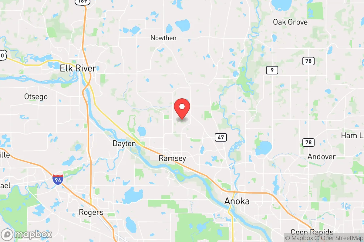
Regional Safe Places
Below is our recommended "safe zones" in Minnesota and the surrounding area based on our strategic heuristics. For most people, it's unrealistic to live in a “safe zone” full-time due to work, family or other personal reasons. They tend to be more rural. However, many of these areas are perfect for second homes and retreat properties that double as a vacation home or even a short-term rental.


Important Note: For informational purposes only. This does not mean nothing bad ever happens in the green zones. Please use common sense. This is based on public data and modeled with AI. We tried to take a conservative approach but mistakes happen. We update this regularly as new information becomes available.
Solar Generator Recommendations
Backup power matters more here than in safer locations. We've picked three solar generators across budgets and capacity tiers — start with the budget unit if you only need a few essentials, or step up if you want to run a fridge and HVAC for days at a time.

Jackery Portable Power Station Explorer 300
Budget OptionPower on the Go: Weighing only 11 lbs, it's convenient to set up and store with book-sized foldable solar panels

BLUETTI Portable Power Station AC180
Designed for both indoor and outdoor scenarios, AC180 is highly capable as it has a robost capacity and continuous output power.

EF ECOFLOW DELTA Pro Ultra Power Station
Upgraded PickEcoFlow DELTA Pro Ultra is a whole-home energy system designed to grow with your family. Integrated with the Smart Home Panel 2, it scales to meet your evolving energy needs — keeping your home powered, intelligent, and secure through every stage of life.
We earn a commission, at no additional cost to you.
Strategic Assessment Analysis
Ramsey, Minnesota, offers a surprisingly resilient strategic position for those prioritizing preparedness and self-sufficiency, sitting roughly 30 miles northwest of Minneapolis—close enough to monitor urban instability but far enough to avoid the immediate blast radius of a major event. The city’s location within the Mississippi River corridor and its proximity to the Anoka Sand Plain provide natural buffers against certain disaster scenarios, while its low population density (about 28,000 residents) and rural-adjacent character make it a viable base for a long-term survival strategy. For a conservative-leaning relocator concerned with civic unrest, supply chain collapse, or mass casualty events, Ramsey balances access to critical resources with a defensible, low-profile footprint.
Geographic position and natural advantages for long-term survival
Ramsey sits at the intersection of the Mississippi River and the Crow River, offering a dual-water advantage that is rare in the Upper Midwest. The Mississippi provides a reliable, year-round water source for filtration and transport, while the Crow River system feeds into the Rum River and the vast network of lakes and wetlands that define the region. This hydrology supports sustainable agriculture, wildlife hunting, and fishing—critical for a post-disaster food supply. The area’s topography is gently rolling, with significant forest cover in the nearby Sherburne National Wildlife Refuge and the Rum River State Forest, providing both cover and timber for construction or fuel. The Anoka Sand Plain aquifer, one of the largest in the state, sits directly beneath Ramsey, meaning well water is abundant and relatively shallow—a key advantage if municipal systems fail. Winters are harsh, with average January lows around 5°F, which acts as a natural deterrent to large-scale migration from warmer regions during a crisis, but also demands serious cold-weather preparedness. The city’s position on the edge of the Minneapolis–Saint Paul metropolitan statistical area means it avoids the dense suburban sprawl of places like Maple Grove or Plymouth, while still being within a 45-minute drive of major medical centers like the University of Minnesota Medical Center—useful for pre-disaster planning but a liability if urban evacuation becomes necessary.
Risks, exposures, and proximity to fallout-relevant landmarks
The primary strategic weakness of Ramsey is its proximity to the Twin Cities metropolitan area, a population center of over 3.7 million people that would become a focal point for civil unrest, resource competition, and potential secondary disasters in a national emergency. The city lies roughly 20 miles from the Monticello Nuclear Generating Plant, a single-unit boiling water reactor that has been operational since 1971. While the plant’s emergency planning zone extends 10 miles, Ramsey sits just outside that radius, but prevailing winds from the south-southwest could carry fallout toward the area in a worst-case scenario. The city is also within 35 miles of the Minneapolis–Saint Paul International Airport (MSP), a major transportation hub that could be a target for terrorism or a vector for disease spread during a pandemic. Interstate 94, a major east-west corridor, runs 10 miles south of Ramsey, making it a likely route for mass evacuation or military movement—both potential sources of chaos. The Mississippi River itself, while a resource, is also a strategic chokepoint; the I-94 and I-35W bridges crossing it could be compromised in a coordinated attack or natural disaster, cutting off access to the city. Flooding is a recurring natural risk, with the Mississippi and Crow Rivers historically exceeding flood stage in spring thaws, threatening low-lying areas near the riverbanks. The city’s reliance on a single major road—Highway 10—for north-south travel creates a vulnerability; a single accident or intentional blockage could isolate Ramsey from the rest of the region.
Practical resilience for a relocator: food, water, energy, and defensibility
For a relocator focused on self-sufficiency, Ramsey’s practical resilience is mixed but workable. The city is surrounded by agricultural land, with corn and soybean farms dominating the landscape, and local farmers’ markets operate seasonally in the nearby towns of Elk River and Anoka. However, the soil is sandy and nutrient-poor in many areas due to the Anoka Sand Plain, meaning home gardening requires significant soil amendment—raised beds and compost are essential. Water is the strongest asset: the aquifer is shallow and clean, and many rural properties already have private wells. For those on municipal water, a backup hand pump or well-drilling plan is advisable. Energy infrastructure is moderately robust, with Xcel Energy providing grid power, but the area is prone to ice storms and wind events that cause outages lasting 24–72 hours. Solar potential is decent, with about 200 sunny days per year, but winter generation is limited; a propane generator with a 500-gallon tank is a more reliable backup. Defensibility is a mixed bag: Ramsey’s layout is a mix of suburban subdivisions and rural acreages, with the latter offering better perimeter control. The city’s police force is small (about 30 officers), and response times in rural pockets can exceed 15 minutes. For a prepper, the ideal property is on the northern or western edges, away from Highway 10 and the river corridors, with a gravel road access that is less likely to be monitored. The nearby Sherburne National Wildlife Refuge offers a vast, undeveloped area for bug-out cache placement, but it is also a federal land, so legal considerations apply. The local gun culture is strong, with several shooting ranges and gun shops in the area, and Minnesota is a shall-issue state for concealed carry permits—a practical advantage for those prioritizing personal defense. The city’s population is predominantly white (about 85%) and politically mixed, but the surrounding county (Sherburne) leans conservative, which may align with the values of a relocator seeking like-minded community in a crisis.
The overall strategic picture for Ramsey, Minnesota, is one of cautious viability for a survivalist or prepper. Its natural water resources, agricultural buffer, and low-density layout provide a solid foundation for long-term self-sufficiency, but the proximity to the Twin Cities and the Monticello nuclear plant introduces significant tail risks that cannot be ignored. A relocator would need to invest in well water, soil improvement, and robust winter energy storage to offset the area’s weaknesses, while also developing a clear evacuation plan for the first 72 hours of a major event. For those willing to accept the trade-offs—cold winters, flood risk, and urban proximity—Ramsey offers a defensible, resource-rich base that is far more prepared than the average suburb, but it is not a bug-out location in the purest sense. It is a place to live and prepare, not just to hide. The key is to treat it as a forward operating base: stockpile supplies, build community ties with local farmers and gun owners, and maintain a low profile. In a world of increasing uncertainty, Ramsey is a solid B+ choice—not perfect, but far better than most options within a day’s drive of a major city.
* Values derived from national, state, county, city and local statistics and may differ in a specific area. Last updated: 2026-04-24T15:27:40.000Z
Narrative content on this page is AI-generated and may contain mistakes. Verify any details that matter before acting on them.
ReloMaps may earn a commission from affiliate links at no extra cost to you.