Photo: Wikipedia
Strategic Assessment of Ripley, WV
Meaningful friction. Expect exposure to either population pressure, blast zones, or natural disaster risk. Consider buying a retreat property.
What does the Strategic Assessment tell us?
Our Strategic Assessment grades tactical survivability of an area. Major population centers, military targets, fallout zones, natural disasters, and border exposure all drive risk — lower exposure means a more defensible position in a crisis.
This is heavily inspired by Joel Skousen's Strategic Relocation book. Highly recommended you checkout the book ($)What does this tell us?
Our Strategic Assessment grades tactical survivability of an area. Major population centers, military targets, fallout zones, natural disasters, and border exposure all drive risk — lower exposure means a more defensible position in a crisis.
This is heavily inspired by Joel Skousen's Strategic Relocation book. Highly recommended you checkout the book ($)Strategic Pillars

Key Distances
Regional Safe Places
Below is our recommended "safe zones" in West Virginia and the surrounding area based on our strategic heuristics. For most people, it's unrealistic to live in a “safe zone” full-time due to work, family or other personal reasons. They tend to be more rural. However, many of these areas are perfect for second homes and retreat properties that double as a vacation home or even a short-term rental.


Important Note: For informational purposes only. This does not mean nothing bad ever happens in the green zones. Please use common sense. This is based on public data and modeled with AI. We tried to take a conservative approach but mistakes happen. We update this regularly as new information becomes available.
Solar Generator Recommendations
Backup power matters more here than in safer locations. We've picked three solar generators across budgets and capacity tiers — start with the budget unit if you only need a few essentials, or step up if you want to run a fridge and HVAC for days at a time.

Jackery Portable Power Station Explorer 300
Budget OptionPower on the Go: Weighing only 11 lbs, it's convenient to set up and store with book-sized foldable solar panels

BLUETTI Portable Power Station AC180
Designed for both indoor and outdoor scenarios, AC180 is highly capable as it has a robost capacity and continuous output power.

EF ECOFLOW DELTA Pro Ultra Power Station
Upgraded PickEcoFlow DELTA Pro Ultra is a whole-home energy system designed to grow with your family. Integrated with the Smart Home Panel 2, it scales to meet your evolving energy needs — keeping your home powered, intelligent, and secure through every stage of life.
We earn a commission, at no additional cost to you.
Strategic Assessment Analysis
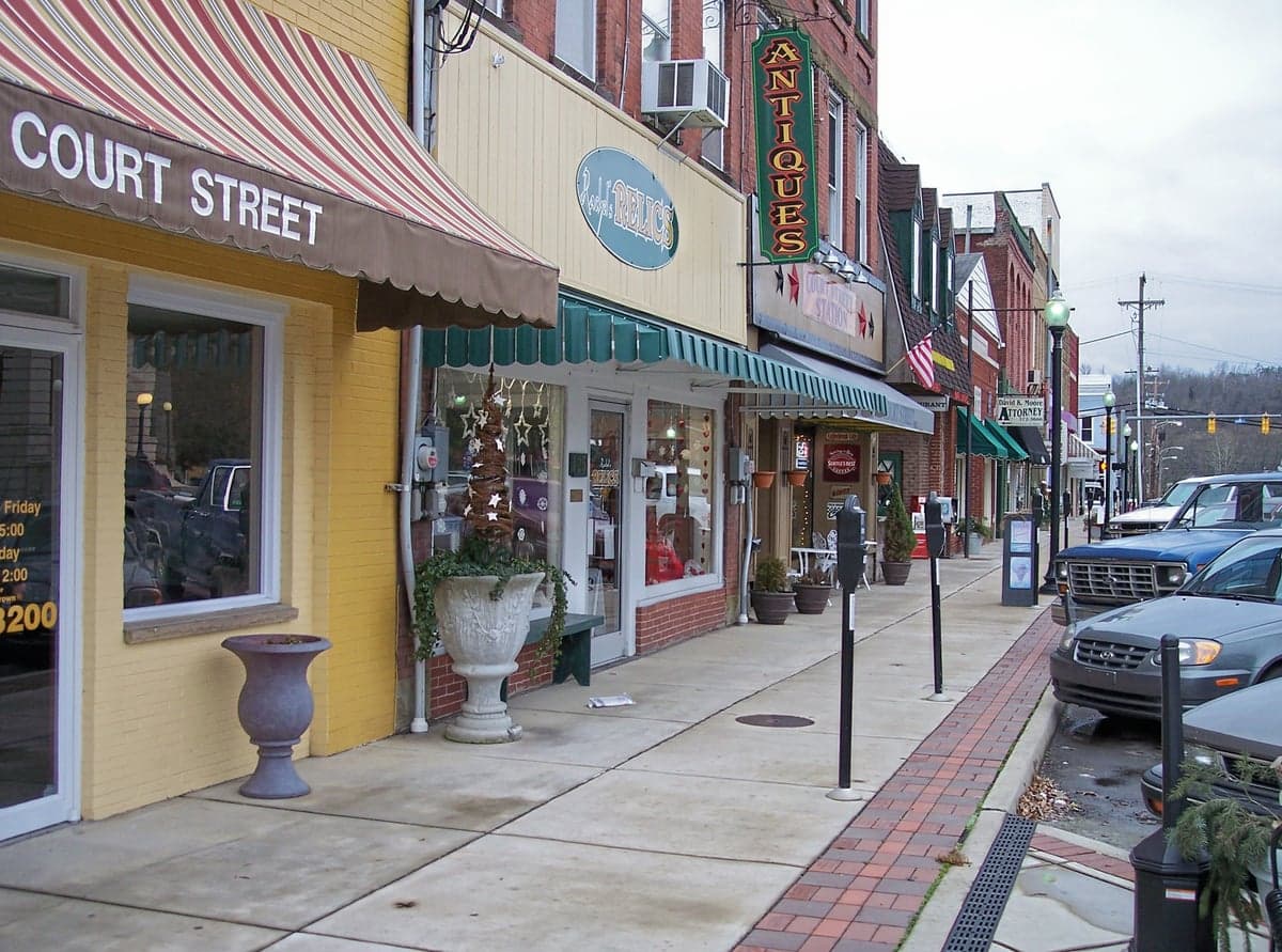
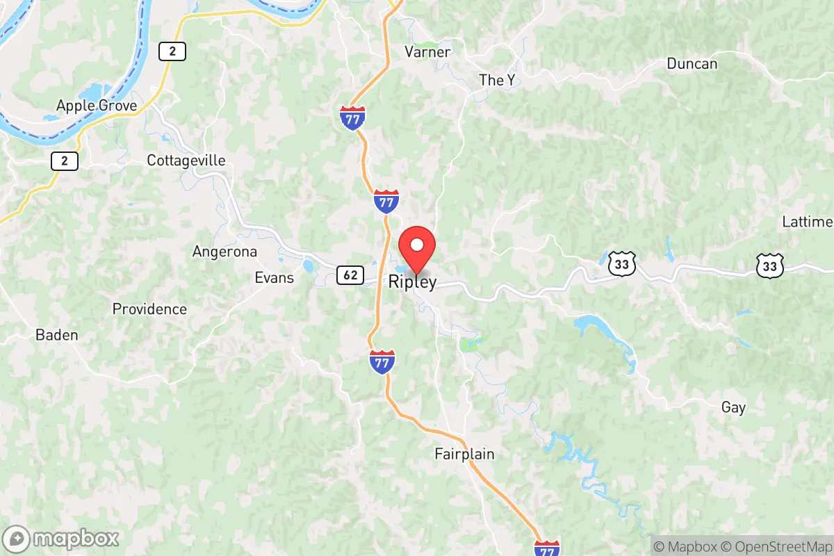
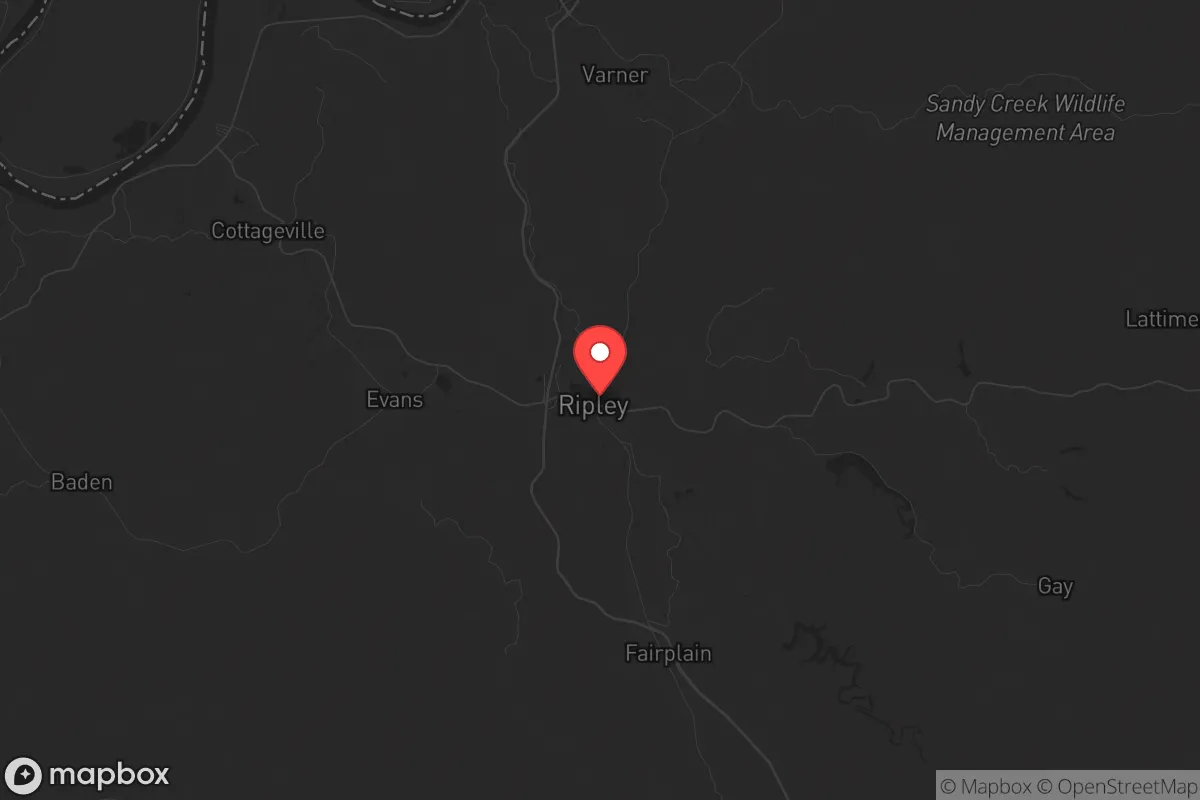
Ripley, West Virginia, sits in a sweet spot that resilience-minded relocators should take seriously: close enough to supply lines and medical access, yet far enough from the major population centers that would become chokepoints during unrest or disaster. Jackson County’s seat of government, with roughly 3,200 residents, offers a low-profile existence in the rolling Appalachian foothills, where the Ohio River Valley provides both a natural barrier and a strategic water source. For those assessing long-term stability, Ripley’s position roughly 45 miles north of Charleston and 60 miles south of Parkersburg places it outside the immediate blast radius of any likely target, while still within a day’s drive of multiple regional hospitals and FEMA distribution points. The area’s historical resilience—surviving the 2012 derecho, repeated Ohio River floods, and the economic hollowing-out of coal country—suggests a population that knows how to adapt without waiting for government handouts.
Geographic position and natural advantages for long-term stability
Ripley’s geography is its primary asset. The town sits on a plateau above the Ohio River floodplain, giving it natural drainage and defensible high ground compared to river-level communities like Ravenswood or Point Pleasant. The surrounding Jackson County is heavily forested—roughly 70% timber—which provides cover, firewood, and game for those who know how to use it. The Ohio River itself is a double-edged sword: it offers a reliable water source and barge transport corridor, but also a potential vector for contaminated floodwaters or unauthorized movement. More importantly, Ripley is ringed by secondary roads and two-lane highways (WV-2, WV-34, and US-33) that offer multiple egress routes toward the Monongahela National Forest or the more remote counties to the east, should I-77 or I-79 become compromised. The nearest interstate, I-77, is 20 miles east—close enough for supply runs, far enough to avoid the congestion that will follow any major event. The area’s karst topography, with its limestone caves and sinkholes, also provides natural shelter options for those willing to scout private land.
Risks, exposures, and proximity to fallout-relevant landmarks
No location is immune, and Ripley has specific vulnerabilities that a prepper must account for. The most immediate risk is the Ohio River flooding: the 1937 flood inundated much of the valley, and while modern levees protect downtown Ripley, the surrounding bottomlands (including parts of Ravenswood and Cottageville) are still in the 100-year floodplain. A major dam failure at the Racine Locks and Dam, 15 miles downstream, could send a wall of water through the valley within hours. On the man-made threat side, Ripley sits 50 miles from the Mountaineer and Pleasants nuclear power plants—both are pressurized water reactors that, while well-maintained, represent a plume risk if a containment breach occurs. The Jackson County area also hosts natural gas pipelines and compressor stations along the Ohio River corridor; a rupture or sabotage event could render large areas uninhabitable for weeks. More concerning for the survivalist: Ripley is 90 miles from the Chemical Stockpile at Blue Grass Army Depot in Kentucky, and 120 miles from the Portsmouth Gaseous Diffusion Plant site in Ohio—both are potential targets for asymmetric attacks. The town’s proximity to the Ohio River also makes it a natural transit corridor for any population movement out of the Midwest, meaning that during a collapse scenario, Ripley could see waves of refugees from Columbus (120 miles) or Cincinnati (150 miles) before they reach more remote areas.
Practical resilience for a relocator: food, water, energy, and defensibility
For someone serious about self-sufficiency, Ripley offers a workable baseline. The local water table is high—most properties with a well can hit potable water at 50-80 feet—and the Ohio River provides a backup source if you have a filtration system (the river’s turbidity requires sediment pre-filtration and UV or chemical treatment). Jackson County has no municipal water restrictions for private wells, and the county health department is straightforward about permitting. Food resilience is mixed: the growing season runs roughly April through October, with fertile bottomland soil along the river, but the hilly terrain limits large-scale agriculture. Local farmers’ markets and the Jackson County Farmers Cooperative provide seed stock and livestock (chickens, goats, heritage-breed hogs) for those establishing a homestead. The area’s deer population is robust—Jackson County consistently ranks in West Virginia’s top 10 for annual harvest—and small game (squirrel, rabbit, turkey) is abundant on public land like the 8,000-acre Sandy Creek Wildlife Management Area, 20 minutes east. Energy is a weak point: the local grid is served by Appalachian Power, and outages are common during winter ice storms (the 2022 Christmas freeze left parts of the county without power for 10 days). Solar is viable—the area averages 4.5 peak sun hours per day—but any serious prepper should budget for a propane generator and a 500-gallon tank, as natural gas lines are not universal outside the town limits. Defensibility is Ripley’s strongest card: the town is compact, with only three main roads in and out, and the surrounding hills provide natural observation points. A small group could effectively monitor the approaches from the river valley or the US-33 corridor. The local sheriff’s office (Jackson County SO) is well-regarded and maintains a visible presence, but during a breakdown, response times to outlying properties could exceed 30 minutes.
The overall strategic picture for Ripley is that of a solid B-tier relocation option for the conservative prepper—not a fortress, but a viable long-term base with manageable risks. It lacks the remote isolation of West Virginia’s eastern panhandle or the deep hollows of the southern coalfields, but it compensates with better infrastructure, multiple supply routes, and a community that still values self-reliance over government dependency. The key trade-off is proximity to the Ohio River corridor: you gain water and transport access, but you also accept the risk of flood events and refugee flow. For a single individual or a family willing to invest in well drilling, solar backup, and a solid perimeter plan, Ripley offers a realistic path to resilience without the extreme isolation that can make daily life unsustainable. The smart play is to buy land on the high ground east of town, stockpile for 90 days, and build relationships with the local farming community before any crisis hits. In a worst-case scenario, you’re 90 minutes from the Monongahela National Forest as a fallback position. In a best-case scenario, you’re living in a quiet, affordable town where the biggest worry is still the price of diesel. That’s a bet worth taking.
* Values derived from national, state, county, city and local statistics and may differ in a specific area. Last updated: 2026-04-24T11:44:14.000Z
Narrative content on this page is AI-generated and may contain mistakes. Verify any details that matter before acting on them.
ReloMaps may earn a commission from affiliate links at no extra cost to you.