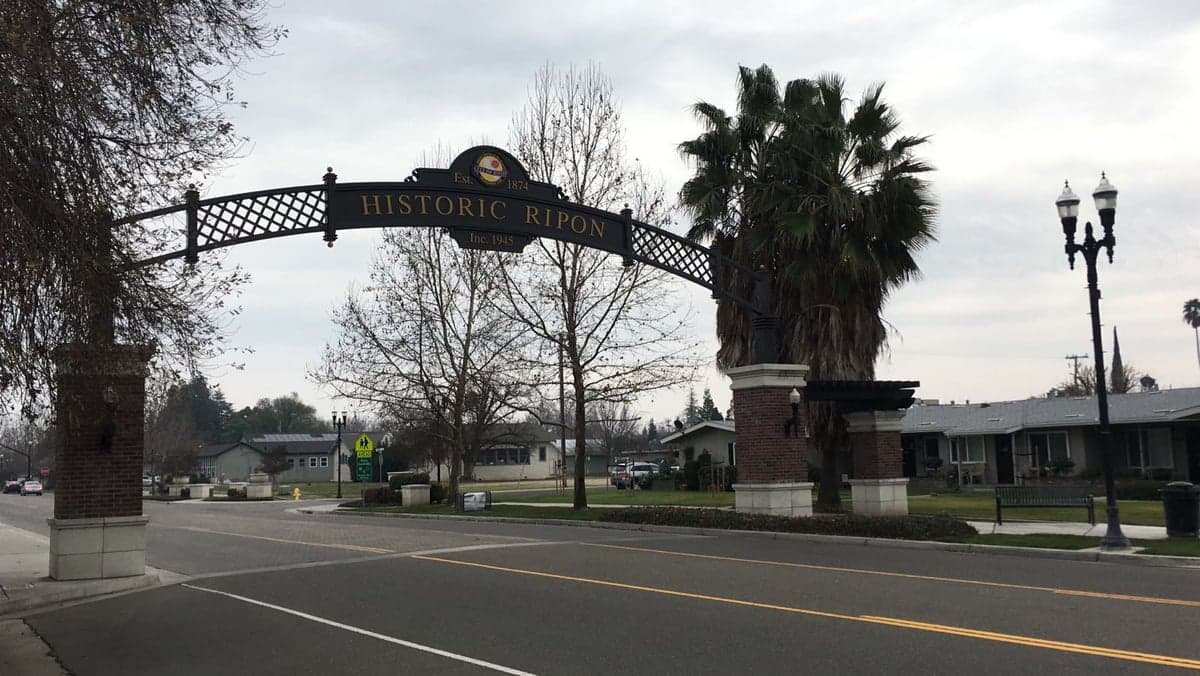
Photo: Wikipedia
Strategic Assessment of Ripon, CA
Multiple tactical vulnerabilities. Population density, target proximity, or disaster risk are likely compounding. A retreat property and exit planning is required.
What does the Strategic Assessment tell us?
Our Strategic Assessment grades tactical survivability of an area. Major population centers, military targets, fallout zones, natural disasters, and border exposure all drive risk — lower exposure means a more defensible position in a crisis.
This is heavily inspired by Joel Skousen's Strategic Relocation book. Highly recommended you checkout the book ($)What does this tell us?
Our Strategic Assessment grades tactical survivability of an area. Major population centers, military targets, fallout zones, natural disasters, and border exposure all drive risk — lower exposure means a more defensible position in a crisis.
This is heavily inspired by Joel Skousen's Strategic Relocation book. Highly recommended you checkout the book ($)Strategic Pillars

Key Distances
Regional Safe Places
Below is our recommended "safe zones" in California and the surrounding area based on our strategic heuristics. For most people, it's unrealistic to live in a “safe zone” full-time due to work, family or other personal reasons. They tend to be more rural. However, many of these areas are perfect for second homes and retreat properties that double as a vacation home or even a short-term rental.




Important Note: For informational purposes only. This does not mean nothing bad ever happens in the green zones. Please use common sense. This is based on public data and modeled with AI. We tried to take a conservative approach but mistakes happen. We update this regularly as new information becomes available.
Solar Generator Recommendations
Backup power matters more here than in safer locations. We've picked three solar generators across budgets and capacity tiers — start with the budget unit if you only need a few essentials, or step up if you want to run a fridge and HVAC for days at a time.

Jackery Portable Power Station Explorer 300
Budget OptionPower on the Go: Weighing only 11 lbs, it's convenient to set up and store with book-sized foldable solar panels

BLUETTI Portable Power Station AC180
Designed for both indoor and outdoor scenarios, AC180 is highly capable as it has a robost capacity and continuous output power.

EF ECOFLOW DELTA Pro Ultra Power Station
Upgraded PickEcoFlow DELTA Pro Ultra is a whole-home energy system designed to grow with your family. Integrated with the Smart Home Panel 2, it scales to meet your evolving energy needs — keeping your home powered, intelligent, and secure through every stage of life.
We earn a commission, at no additional cost to you.
Strategic Assessment Analysis
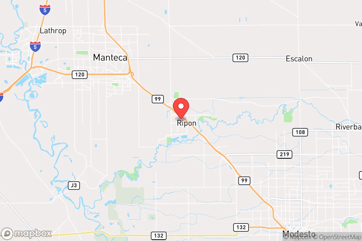
Ripon, California, occupies a strategic position in the northern San Joaquin Valley that offers a blend of agricultural self-sufficiency and relative insulation from the most acute risks facing coastal California. Its location at the crossroads of Highway 99 and the Stanislaus River, roughly 80 miles east of the San Francisco Bay Area and 40 miles south of Sacramento, places it within a food-producing region while maintaining enough distance from major metropolitan centers to reduce exposure to cascading urban failures. For a relocator weighing disaster readiness and long-term stability, Ripon presents a credible option, though its advantages come with specific trade-offs tied to its position in California’s Central Valley.
Geographic position and natural advantages for long-term stability
Ripon sits on the eastern edge of the San Joaquin Valley floor, where the valley meets the foothills of the Sierra Nevada. This location provides several natural advantages. The area benefits from a Mediterranean climate with hot, dry summers and mild, wet winters, which supports year-round agriculture and reduces the risk of extreme cold events that can disrupt infrastructure. The Stanislaus River, which flows along the city’s southern boundary, offers a reliable surface water source, and the underlying groundwater basin is one of the most productive in the state, though it has faced overdraft challenges in recent decades. Ripon’s elevation of roughly 70 feet above sea level places it above the floodplains of the San Joaquin River system, reducing the risk of catastrophic flooding compared to communities directly on the river. The city’s position also places it within a 30-mile radius of multiple agricultural processing facilities, including dairies, almond hullers, and tomato processors, which could serve as local food sources in a disruption scenario. The nearby Sierra Nevada foothills, accessible via State Route 99 and local roads, provide potential retreat zones with higher elevation, forest resources, and lower population density, though these areas are themselves subject to wildfire risk.
Risks, exposures, and proximity to fallout-relevant landmarks
Ripon’s primary risk exposure stems from its location in an active seismic zone. The city lies within 15 miles of the San Andreas Fault system’s Calaveras and Hayward fault traces, and a major earthquake on either could cause significant ground shaking, liquefaction in the valley’s alluvial soils, and damage to aging infrastructure. The 1989 Loma Prieta and 1994 Northridge earthquakes serve as reminders that even distant events can disrupt supply chains and utilities for weeks. Flood risk is moderate but real: while Ripon itself is not in a FEMA-designated high-risk flood zone, the surrounding agricultural land and the Stanislaus River corridor are subject to inundation during extreme atmospheric river events, which have become more frequent with climate change. The city’s proximity to the San Joaquin Valley’s dairy and feedlot operations also means localized air quality issues from ammonia and particulate matter, which could compound respiratory problems in a prolonged grid-down scenario.
From a man-made risk perspective, Ripon’s location near major transportation corridors—Highway 99, Interstate 5 (20 miles west), and the Union Pacific rail line—makes it a potential secondary target in a conflict scenario, though it is not a primary strategic asset. The city is roughly 60 miles from the Port of Stockton and 70 miles from Travis Air Force Base, both of which could be targets in a major conflict. More concerning for a fallout-aware relocator is Ripon’s position within 100 miles of the Diablo Canyon Power Plant (San Luis Obispo County), the San Onofre Nuclear Generating Station (decommissioned but still storing spent fuel), and the Lawrence Livermore National Laboratory. While the risk of a nuclear incident is low, the prevailing winds in the Central Valley blow from the west and northwest, meaning fallout from a coastal event could be carried inland. Ripon’s distance from these sites—roughly 150 miles from Diablo Canyon and 100 miles from Livermore—provides some buffer, but it is not outside the range of potential fallout plumes. The city’s location in the valley also means it is downwind of the Bay Area’s industrial and military infrastructure, which could be a liability in a large-scale event.
Practical resilience for a relocator: food, water, energy, and defensibility
Ripon’s greatest resilience asset is its position within one of the world’s most productive agricultural regions. The surrounding San Joaquin Valley produces over 250 crops, including almonds, tomatoes, dairy, grapes, and livestock. For a relocator with land or access to local markets, this means a reliable food supply chain that is less dependent on long-distance trucking than urban areas. The city itself has a strong agricultural base, with several packing sheds, cold storage facilities, and feed stores within a 10-mile radius. Water availability is a more complex issue. Ripon’s municipal water supply comes from a combination of groundwater wells and surface water from the Stanislaus River via the South San Joaquin Irrigation District. The region has faced chronic groundwater overdraft, and the Sustainable Groundwater Management Act (SGMA) is forcing reductions in pumping, which could affect long-term water security for new residents. However, for a relocator with a well, the groundwater table in the area is generally accessible at depths of 100-300 feet, and the Stanislaus River provides a backup surface source. Rainwater harvesting is feasible given the area’s 12-14 inches of annual precipitation, though storage capacity would need to be significant to cover the dry summer months.
Energy resilience is moderate. Ripon is served by Pacific Gas & Electric (PG&E), which has a history of Public Safety Power Shutoffs (PSPS) during high-wind events, particularly in the nearby foothills. The city itself is less prone to these shutoffs than mountain communities, but the grid is still vulnerable to earthquake damage and wildfire-related outages. Solar potential is excellent: the Central Valley averages over 260 sunny days per year, and rooftop solar with battery storage can provide significant energy independence. Natural gas is available in most of the city, which is a plus for backup heating and cooking, but the pipeline network is vulnerable to seismic disruption. Defensibility is a mixed picture. Ripon is a compact city of roughly 16,000 people, with a grid-like street layout that is not inherently defensible. The surrounding agricultural land provides open sightlines and limited cover for approach, but the flat terrain offers little natural barrier. The city’s location on Highway 99 means it is accessible from multiple directions, which is a liability in a security scenario. However, the nearby foothills and the Stanislaus River corridor offer potential retreat routes and defensible positions for those willing to relocate in a crisis.
The overall strategic picture for Ripon is one of moderate resilience with clear trade-offs. Its agricultural setting and water access provide a strong foundation for food and water security, and its distance from the most vulnerable coastal infrastructure reduces exposure to earthquake and tsunami risks. However, its position in the Central Valley means it is not immune to seismic hazards, air quality issues, or the cascading effects of a major urban collapse in the Bay Area or Sacramento. For a relocator who values self-sufficiency and is willing to invest in solar, well water, and food storage, Ripon offers a credible base of operations. The key is to recognize that its advantages are relative, not absolute: it is a better bet than a coastal city or a mountain fire zone, but it is not a fortress. The city’s growth—population has increased by roughly 15% since 2010—also means that land prices and competition for resources are rising. For a family or individual serious about disaster readiness, Ripon deserves consideration, but only as part of a broader strategy that includes on-site preparation, community engagement, and a plan for potential relocation to the foothills if conditions deteriorate.

* Values derived from national, state, county, city and local statistics and may differ in a specific area. Last updated: 2026-08-23T00:49:21.000Z
Narrative content on this page is AI-generated and may contain mistakes. Verify any details that matter before acting on them.
ReloMaps may earn a commission from affiliate links at no extra cost to you.

