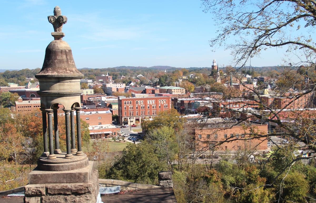
Photo: Wikipedia
Strategic Assessment of Rome, GA
Workable tactical position. Some exposure to population density or targets, but generally defensible in a crisis.
What does the Strategic Assessment tell us?
Our Strategic Assessment grades tactical survivability of an area. Major population centers, military targets, fallout zones, natural disasters, and border exposure all drive risk — lower exposure means a more defensible position in a crisis.
This is heavily inspired by Joel Skousen's Strategic Relocation book. Highly recommended you checkout the book ($)What does this tell us?
Our Strategic Assessment grades tactical survivability of an area. Major population centers, military targets, fallout zones, natural disasters, and border exposure all drive risk — lower exposure means a more defensible position in a crisis.
This is heavily inspired by Joel Skousen's Strategic Relocation book. Highly recommended you checkout the book ($)Strategic Pillars

Key Distances
Regional Safe Places
Below is our recommended "safe zones" in Georgia and the surrounding area based on our strategic heuristics. For most people, it's unrealistic to live in a “safe zone” full-time due to work, family or other personal reasons. They tend to be more rural. However, many of these areas are perfect for second homes and retreat properties that double as a vacation home or even a short-term rental.


Important Note: For informational purposes only. This does not mean nothing bad ever happens in the green zones. Please use common sense. This is based on public data and modeled with AI. We tried to take a conservative approach but mistakes happen. We update this regularly as new information becomes available.
Solar Generator Recommendations
Backup power matters more here than in safer locations. We've picked three solar generators across budgets and capacity tiers — start with the budget unit if you only need a few essentials, or step up if you want to run a fridge and HVAC for days at a time.

Jackery Portable Power Station Explorer 300
Budget OptionPower on the Go: Weighing only 11 lbs, it's convenient to set up and store with book-sized foldable solar panels

BLUETTI Portable Power Station AC180
Designed for both indoor and outdoor scenarios, AC180 is highly capable as it has a robost capacity and continuous output power.

EF ECOFLOW DELTA Pro Ultra Power Station
Upgraded PickEcoFlow DELTA Pro Ultra is a whole-home energy system designed to grow with your family. Integrated with the Smart Home Panel 2, it scales to meet your evolving energy needs — keeping your home powered, intelligent, and secure through every stage of life.
We earn a commission, at no additional cost to you.
Strategic Assessment Analysis
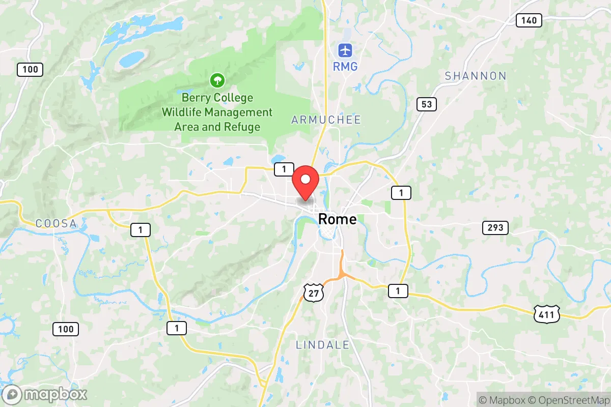
Rome, Georgia, sits in a sweet spot that few relocation analysts fully appreciate: close enough to Atlanta to access its economic engine, yet far enough—roughly 70 miles northwest—to avoid the immediate blast radius of a major metropolitan collapse or a high-value target strike. The city’s position at the confluence of the Etowah and Oostanaula Rivers, forming the Coosa River, gives it a natural defensive geography and a reliable water source, while the surrounding ridges and valleys of the Ridge and Valley region create chokepoints that slow any northward movement from the metro area. For a conservative-leaning individual or family thinking about long-term strategic relocation, Rome offers a rare combination of industrial utility, agricultural potential, and geographic insulation that makes it a serious contender for weathering the kind of civic unrest or cascading disasters that keep preppers up at night.
Geographic position and natural advantages for long-term security
Rome’s location is its strongest card. It sits in Floyd County, roughly 70 miles from downtown Atlanta and about 30 miles from the Alabama line. That distance is critical: it places Rome outside the likely fallout zone of a nuclear event targeting Atlanta’s Hartsfield-Jackson airport, CDC headquarters, or Fort McPherson, while still being close enough to monitor regional news and supply chains. The city is nestled in a valley surrounded by hills like Lavender Mountain and Horseleg Mountain, which provide natural observation points and defensible terrain. The Coosa River system—formed by the Etowah and Oostanaula—offers a year-round water source that can support small-scale agriculture and livestock, and the region’s average 50 inches of annual rainfall means wells and cisterns are viable. The area’s geology includes limestone and sandstone bedrock, which supports stable foundations for underground shelters or root cellars. For a relocator, this means you’re not just buying a house; you’re buying into a landscape that can sustain life without constant resupply from a fragile grid.
Risks, exposures, and proximity to fallout-relevant landmarks
No location is perfect, and Rome has its share of liabilities. The most obvious is its proximity to Interstate 75, a major north-south evacuation corridor that runs about 20 miles east of the city. In a mass evacuation event from Atlanta, I-75 would become a parking lot of desperation, and secondary routes like US-411 and GA-53 would see heavy traffic. That means Rome could become a choke point for refugees, straining local resources and raising the risk of civil unrest. Additionally, Rome is about 50 miles from the Sequoyah Nuclear Plant in Tennessee and 60 miles from the Browns Ferry plant in Alabama. While both are operational and well-regulated, a catastrophic failure or sabotage event at either could send a plume across the region depending on wind patterns. The city itself has industrial assets—including a large Mohawk Industries carpet plant and a Georgia Power coal-fired plant—that could be secondary targets in a coordinated attack. On the plus side, Rome lacks the high-profile federal installations (no military bases, no major intelligence hubs) that would make it a primary target. The risk is real but manageable with proper planning: a good radiation detector, a basement or interior room, and a pre-planned evacuation route west toward the less populated areas of Alabama or east toward the Chattahoochee National Forest.
Practical resilience for a relocator: food, water, energy, and defensibility
For a family or individual serious about self-sufficiency, Rome offers a workable baseline. The local water supply is robust: the Coosa River system is supplemented by the Rome Water and Sewer Division, which draws from the Etowah River and maintains a 10-million-gallon storage capacity. In a grid-down scenario, the river is accessible for filtration and purification, and the surrounding farmland—Floyd County has over 1,200 farms—means local food production is a real option. The area’s growing season runs from April to October, supporting corn, beans, squash, and livestock like cattle and poultry. Energy-wise, Rome is served by Georgia Power, which relies on a mix of coal, natural gas, and nuclear. The grid is moderately reliable, but a determined adversary could take out the Plant Hammond coal facility or the nearby transmission lines. Solar is a viable backup: the region gets about 215 sunny days per year, and local ordinances don’t prohibit panels. Defensibility is where Rome shines. The valley geography means you can control access points—roads like US-27 and GA-20 are natural funnels. A small group of prepared individuals could establish a perimeter around a rural property on the outskirts, like near the Berry College campus or the Armuchee area, using the hills as natural barriers. The local law enforcement presence is solid—Floyd County has a sheriff’s office with about 100 sworn deputies—but in a prolonged crisis, you’ll need to rely on your own network. Building relationships with neighbors who share your mindset is non-negotiable here.
The overall strategic picture for Rome is cautiously optimistic. It’s not a hardened bunker community, but it’s not a soft target either. The city’s distance from Atlanta, its natural water and terrain advantages, and its lack of high-value military or government assets make it a viable relocation point for someone who wants to be prepared without living off-grid in the middle of nowhere. The risks—proximity to evacuation routes, nuclear plants, and industrial targets—are real but manageable with basic prepping: a go-bag, a water filtration system, a few acres of land, and a community of like-minded individuals. For a conservative family looking to plant roots in a place that can absorb shocks without collapsing, Rome deserves a serious look. Just don’t expect to be the only one with that idea—the smart money is already moving in.
* Values derived from national, state, county, city and local statistics and may differ in a specific area. Last updated: 2026-04-30T01:13:12.000Z
Narrative content on this page is AI-generated and may contain mistakes. Verify any details that matter before acting on them.
ReloMaps may earn a commission from affiliate links at no extra cost to you.