Photo: Wikipedia
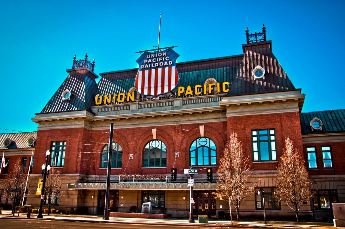
Strategic Assessment of Salt Lake City, UT
Meaningful friction. Expect exposure to either population pressure, blast zones, or natural disaster risk. Consider buying a retreat property.
What does the Strategic Assessment tell us?
Our Strategic Assessment grades tactical survivability of an area. Major population centers, military targets, fallout zones, natural disasters, and border exposure all drive risk — lower exposure means a more defensible position in a crisis.
This is heavily inspired by Joel Skousen's Strategic Relocation book. Highly recommended you checkout the book ($)What does this tell us?
Our Strategic Assessment grades tactical survivability of an area. Major population centers, military targets, fallout zones, natural disasters, and border exposure all drive risk — lower exposure means a more defensible position in a crisis.
This is heavily inspired by Joel Skousen's Strategic Relocation book. Highly recommended you checkout the book ($)Strategic Pillars

Key Distances
Regional Safe Places
Below is our recommended "safe zones" in Utah and the surrounding area based on our strategic heuristics. For most people, it's unrealistic to live in a “safe zone” full-time due to work, family or other personal reasons. They tend to be more rural. However, many of these areas are perfect for second homes and retreat properties that double as a vacation home or even a short-term rental.


Important Note: For informational purposes only. This does not mean nothing bad ever happens in the green zones. Please use common sense. This is based on public data and modeled with AI. We tried to take a conservative approach but mistakes happen. We update this regularly as new information becomes available.
Solar Generator Recommendations
Backup power matters more here than in safer locations. We've picked three solar generators across budgets and capacity tiers — start with the budget unit if you only need a few essentials, or step up if you want to run a fridge and HVAC for days at a time.

Jackery Portable Power Station Explorer 300
Budget OptionPower on the Go: Weighing only 11 lbs, it's convenient to set up and store with book-sized foldable solar panels

BLUETTI Portable Power Station AC180
Designed for both indoor and outdoor scenarios, AC180 is highly capable as it has a robost capacity and continuous output power.

EF ECOFLOW DELTA Pro Ultra Power Station
Upgraded PickEcoFlow DELTA Pro Ultra is a whole-home energy system designed to grow with your family. Integrated with the Smart Home Panel 2, it scales to meet your evolving energy needs — keeping your home powered, intelligent, and secure through every stage of life.
We earn a commission, at no additional cost to you.
Strategic Assessment Analysis
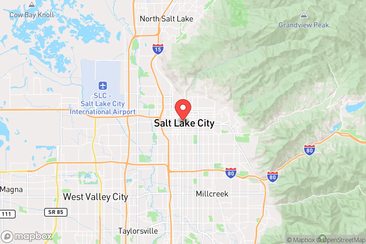
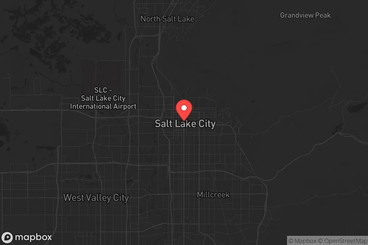
Salt Lake City sits in a unique strategic pocket that offers genuine resilience advantages, but it is not the isolated redoubt some imagine. The Wasatch Front’s geography provides natural barriers and resource abundance, yet its proximity to a major metropolitan hub, a military nerve center, and a critical transportation corridor introduces real exposure risks. For a relocator thinking in terms of decades, not months, the area demands a clear-eyed trade-off: strong local food and water security versus vulnerability to targeted infrastructure disruption and population-density cascades.
Geographic position and natural advantages for long-term security
The Wasatch Front’s defining feature is its mountain-wall defensibility. The Wasatch Range to the east and the Oquirrh Mountains to the west create a natural funnel, with only a handful of viable ingress/egress routes—primarily I-15 north-south and I-80 east-west. In a scenario where civil order degrades, controlling those choke points would be feasible for a prepared community. The valley floor sits at roughly 4,200 feet, which provides a moderate altitude advantage: cooler summers reduce heat-related stress, and the dry climate minimizes mold and rot in stored supplies. Water is the standout asset. The Wasatch Mountains capture significant snowpack, feeding the Jordan River and the Great Salt Lake watershed. The area’s municipal water systems draw from mountain streams and reservoirs (Deer Creek, Jordanelle, Strawberry) that are less vulnerable to the groundwater depletion plaguing the Southwest. For a prepper, this means a reliable surface-water source that can be filtered or diverted with basic infrastructure. The surrounding national forests (Uinta-Wasatch-Cache) offer timber, game, and remote retreat options within a two-hour drive, though public-land access is increasingly contested. The valley’s agricultural fringe—especially Utah County to the south and Cache Valley to the north—still produces hay, alfalfa, and some livestock, giving the region a local food base that many Western metros lack.
Risks, exposures, and proximity to fallout-relevant landmarks
The same geography that provides defensibility also concentrates risk. Salt Lake City proper sits within a 15-mile radius of Hill Air Force Base, a major logistics and munitions hub, and less than 30 miles from the Tooele Army Depot, which stores chemical weapons and conventional munitions. In a major conflict or terrorist event, these are high-priority targets. The city itself is a population center of roughly 1.2 million in the metro area, meaning any evacuation scenario would produce gridlock on I-15 and I-80. The valley’s inversion-prone air quality, while not a survival threat per se, indicates a basin that traps particulates—including fallout. Prevailing winds from the west could carry contamination from the Great Salt Lake’s exposed dry lakebed (which contains arsenic and heavy metals) during a dust event. Earthquake risk is real: the Wasatch Fault runs directly under the urban corridor, with a 1-in-7 chance of a magnitude 6.75 or greater quake in the next 50 years. Such an event would collapse unreinforced masonry buildings in the city core, rupture gas lines, and likely damage the water distribution system. The 2020 Magna earthquake (5.7) was a warning shot. For a relocator, the key takeaway is that Salt Lake City is not a remote bunker; it is a target-rich environment within a narrow valley that amplifies both natural and man-made hazards.
Practical resilience for a relocator: food, water, energy, and defensibility
On the practical front, the area scores well on water and energy but poorly on food independence and defensible space for the average suburbanite. Water is the strongest card: the municipal supply is treated and reliable, and the snowpack provides a buffer against short-term drought. A household with a 55-gallon drum and a Berkey filter can secure months of drinking water from a rooftop catchment or a nearby stream. The Great Salt Lake’s shrinking is a long-term concern, but it does not affect the mountain-fed sources that supply the valley. Energy is similarly robust. Utah is a net energy exporter, with coal, natural gas, and a growing solar sector. Rocky Mountain Power’s grid is stable, and the state’s regulatory environment favors energy independence. For off-grid setups, solar irradiance in the valley is above average (5.5 peak sun hours per day), and the dry climate extends panel life. Food is the weak link. The valley produces only about 10-15% of its own caloric needs, relying heavily on trucked-in goods from California and the Midwest. In a prolonged supply-chain disruption, grocery shelves would empty within days. The solution is either a deep pantry (six months minimum) or a move to the agricultural fringe—places like Morgan, Box Elder, or Sanpete counties, where land is cheaper and local food networks exist. Defensibility varies by neighborhood. The east bench (Avenues, Federal Heights, Olympus Cove) offers terrain advantage and limited access points, but homes are expensive and close to the fault line. The west side (Magna, Kearns, West Valley) is flat, dense, and closer to industrial targets. For a relocator, the strategic sweet spot is a semi-rural property in a northern or southern county—like Cache or Utah—within a 30-minute drive of the city’s medical and supply infrastructure but outside the blast radius of its vulnerabilities.
The overall strategic picture for Salt Lake City is one of high potential paired with high exposure. It is not a place to ride out a major war or a nationwide collapse without serious preparation. But for a relocator who wants a base within striking distance of Western resources—timber, water, game, and a like-minded community—the Wasatch Front offers a foundation that few other Western metros can match. The key is to treat the city as a supply hub and a social network, not a fortress. Stockpile food, secure a water source, and have a bug-out location in the mountains or a rural county. If you can accept that the city itself is a liability in a crisis, the region’s natural advantages make it one of the better bets in the Intermountain West for a long-term strategic relocation.
* Values derived from national, state, county, city and local statistics and may differ in a specific area. Last updated: 2026-04-15T23:30:00.000Z
Narrative content on this page is AI-generated and may contain mistakes. Verify any details that matter before acting on them.
ReloMaps may earn a commission from affiliate links at no extra cost to you.