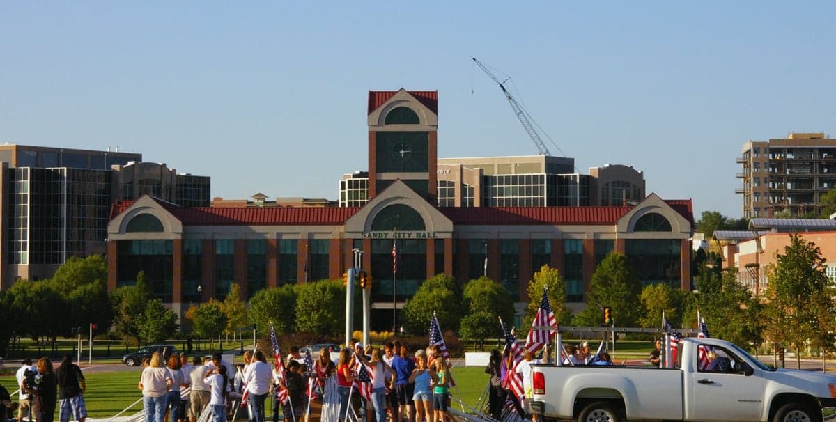
Photo: Wikipedia
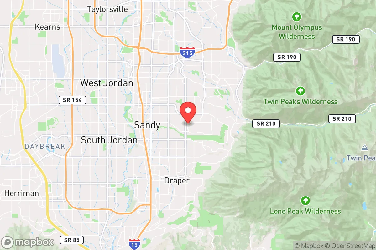
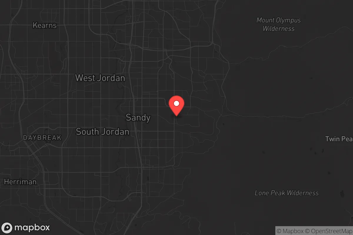
Strategic Assessment of Sandy, UT
Workable tactical position. Some exposure to population density or targets, but generally defensible in a crisis.
What does the Strategic Assessment tell us?
Our Strategic Assessment grades tactical survivability of an area. Major population centers, military targets, fallout zones, natural disasters, and border exposure all drive risk — lower exposure means a more defensible position in a crisis.
This is heavily inspired by Joel Skousen's Strategic Relocation book. Highly recommended you checkout the book ($)What does this tell us?
Our Strategic Assessment grades tactical survivability of an area. Major population centers, military targets, fallout zones, natural disasters, and border exposure all drive risk — lower exposure means a more defensible position in a crisis.
This is heavily inspired by Joel Skousen's Strategic Relocation book. Highly recommended you checkout the book ($)Strategic Pillars

Key Distances
Regional Safe Places
Below is our recommended "safe zones" in Utah and the surrounding area based on our strategic heuristics. For most people, it's unrealistic to live in a “safe zone” full-time due to work, family or other personal reasons. They tend to be more rural. However, many of these areas are perfect for second homes and retreat properties that double as a vacation home or even a short-term rental.


Important Note: For informational purposes only. This does not mean nothing bad ever happens in the green zones. Please use common sense. This is based on public data and modeled with AI. We tried to take a conservative approach but mistakes happen. We update this regularly as new information becomes available.
Solar Generator Recommendations
Backup power matters more here than in safer locations. We've picked three solar generators across budgets and capacity tiers — start with the budget unit if you only need a few essentials, or step up if you want to run a fridge and HVAC for days at a time.

Jackery Portable Power Station Explorer 300
Budget OptionPower on the Go: Weighing only 11 lbs, it's convenient to set up and store with book-sized foldable solar panels

BLUETTI Portable Power Station AC180
Designed for both indoor and outdoor scenarios, AC180 is highly capable as it has a robost capacity and continuous output power.

EF ECOFLOW DELTA Pro Ultra Power Station
Upgraded PickEcoFlow DELTA Pro Ultra is a whole-home energy system designed to grow with your family. Integrated with the Smart Home Panel 2, it scales to meet your evolving energy needs — keeping your home powered, intelligent, and secure through every stage of life.
We earn a commission, at no additional cost to you.
Strategic Assessment Analysis
Sandy, Utah, sits in a geographic sweet spot that offers genuine strategic depth for those thinking seriously about resilience, but it comes with hard trade-offs that demand clear-eyed assessment. Nestled at the base of the Wasatch Range, this suburb of Salt Lake City benefits from mountain barriers, a robust local economy, and a culture that still values self-reliance and community preparedness. However, its proximity to a major metropolitan area and critical infrastructure hubs means you cannot ignore the risks of civil unrest, supply chain disruption, or even a worst-case event targeting the region’s military and government assets. For a relocator with a prepper mindset, Sandy is not a bug-out location—it is a layered position that requires active preparation to turn its advantages into real security.
Geographic position and natural advantages for long-term security
Sandy’s location at the mouth of Little Cottonwood Canyon provides a natural defensive buffer that few suburban areas can match. The Wasatch Front’s mountain ranges create a physical barrier against easy access from the east, while the valley floor opens to the west and north—meaning any threat from those directions is funneled and easier to monitor. The elevation, around 4,500 feet, offers a cooler climate and reduced wildfire risk compared to lower-elevation western cities, though the surrounding forests still demand fire-wise landscaping. Water is the critical variable here: Sandy sits above the Jordan Aquifer and draws from mountain watersheds, but the entire Wasatch Front faces long-term water scarcity. The Great Salt Lake’s decline is a slow-moving crisis that will tighten water allocations, so any serious prepper must secure a private well or rainwater catchment system. The nearby Uinta-Wasatch-Cache National Forest provides hunting, foraging, and timber resources, but access is regulated and crowded on peak weekends. For a family or individual, the mountain redoubt potential is real—canyons like Big Cottonwood and American Fork offer remote retreat options within an hour’s drive—but those areas are also popular with recreationists and could become contested during a crisis. The key takeaway: Sandy’s geography buys you time and options, but only if you have a plan to use them before the masses do.
Risks, exposures, and proximity to fallout-relevant landmarks
This is where the analysis gets sobering. Sandy lies roughly 15 miles south of Salt Lake City’s urban core, which means you are within the blast and fallout radius of any major event targeting the region’s high-value assets. Hill Air Force Base, 40 miles north, is a primary ICBM maintenance and logistics hub—a top-tier target in a conflict with a peer adversary. The Tooele Army Depot, 30 miles west, stores chemical munitions and conventional ordnance. A strike on either would produce fallout patterns that could reach Sandy depending on prevailing winds (typically west-to-east in winter, southwest-to-northeast in summer). The Salt Lake City International Airport and the Union Pacific rail yard are also within the blast zone for a large conventional or nuclear event. Beyond military targets, the concentration of LDS Church headquarters and the Utah State Capitol in downtown Salt Lake make the region a symbolic target for ideological attacks. For civil unrest, Sandy is relatively insulated by its affluent, family-oriented demographics—but the 2020 protests that reached the Salt Lake City Police Department headquarters show that unrest can spill south along the I-15 corridor. The I-15 freeway itself is a double-edged sword: it enables rapid evacuation but also funnels refugees and looters from the north during a crisis. The Magna earthquake fault runs through the western valley, and a major quake (estimated 7.0+ magnitude) would cripple infrastructure, including the Jordan River water treatment plant and natural gas lines. In short, Sandy’s risks are real but manageable if you harden your home, stockpile supplies, and have a bug-out route that avoids the obvious chokepoints.
Practical resilience for a relocator: food, water, energy, and defensibility
For a single individual or family serious about preparedness, Sandy offers a mixed bag. Food security is decent: the area has multiple grocery chains (Smith’s, WinCo, Costco) within a 10-minute drive, and the Sandy City Farmers Market runs June through October for local produce. But during a prolonged disruption, these stores will empty in hours. A better bet is to establish relationships with local farmers in nearby Draper or Alpine for direct purchases, or to join a community-supported agriculture (CSA) program. Water storage is non-negotiable: the municipal supply is treated and reliable, but a quake or grid failure could cut it for weeks. A 55-gallon drum per person, plus a Berkey filter or LifeStraw, is baseline. For energy independence, Sandy’s solar potential is excellent—over 250 sunny days per year—and the city has net metering through Rocky Mountain Power. A generator transfer switch is wise for winter storms that knock out power (common in the canyons). Defensibility is where Sandy struggles: most homes are in suburban subdivisions with open street grids and minimal setback. A house on a corner lot or near a canyon mouth offers better lines of sight and escape routes. The HOA restrictions in many Sandy neighborhoods can limit visible preparedness measures (e.g., large water tanks, chicken coops, or defensive landscaping), so check covenants before buying. The local police and fire departments are well-funded and responsive, but during a regional crisis, response times will stretch to hours or days. Community networks like the Utah Preppers Network and local ham radio clubs (e.g., the Utah Amateur Radio Club) are active and can be a lifeline for information and mutual aid. The bottom line: Sandy is livable and prepared-friendly, but you must be willing to invest in off-grid systems and navigate suburban restrictions.
The overall strategic picture for Sandy is one of calculated opportunity. It offers a rare combination of mountain buffer, economic stability, and a culture that still values family, faith, and self-sufficiency—traits that align with a conservative, preparedness-oriented worldview. But the proximity to high-value targets and the Wasatch Front’s water fragility mean you cannot treat this as a passive retreat. The smart move is to treat Sandy as a forward operating base: a comfortable home base with strong community ties, but with a fully stocked bug-out location in the mountains or a rural property in Morgan County or Sanpete County as a fallback. If you are willing to put in the work—secure water, solar power, food storage, and a network of like-minded neighbors—Sandy can be a solid anchor in an uncertain future. If you are looking for a turnkey survival haven, look farther east or south. But for a relocator who wants to maintain a professional career while building real resilience, Sandy is one of the better bets along the Wasatch Front. Just don’t mistake its suburban comfort for true security—prepare accordingly.
* Values derived from national, state, county, city and local statistics and may differ in a specific area. Last updated: 2026-04-21T12:15:38.000Z
Narrative content on this page is AI-generated and may contain mistakes. Verify any details that matter before acting on them.
ReloMaps may earn a commission from affiliate links at no extra cost to you.