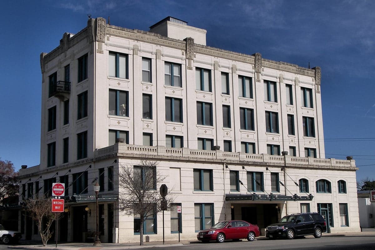
Photo: Wikipedia
Strategic Assessment of Seguin, TX
Meaningful friction. Expect exposure to either population pressure, blast zones, or natural disaster risk. Consider buying a retreat property.
What does the Strategic Assessment tell us?
Our Strategic Assessment grades tactical survivability of an area. Major population centers, military targets, fallout zones, natural disasters, and border exposure all drive risk — lower exposure means a more defensible position in a crisis.
This is heavily inspired by Joel Skousen's Strategic Relocation book. Highly recommended you checkout the book ($)What does this tell us?
Our Strategic Assessment grades tactical survivability of an area. Major population centers, military targets, fallout zones, natural disasters, and border exposure all drive risk — lower exposure means a more defensible position in a crisis.
This is heavily inspired by Joel Skousen's Strategic Relocation book. Highly recommended you checkout the book ($)Strategic Pillars

Key Distances
Regional Safe Places
Below is our recommended "safe zones" in Texas and the surrounding area based on our strategic heuristics. For most people, it's unrealistic to live in a “safe zone” full-time due to work, family or other personal reasons. They tend to be more rural. However, many of these areas are perfect for second homes and retreat properties that double as a vacation home or even a short-term rental.


Important Note: For informational purposes only. This does not mean nothing bad ever happens in the green zones. Please use common sense. This is based on public data and modeled with AI. We tried to take a conservative approach but mistakes happen. We update this regularly as new information becomes available.
Solar Generator Recommendations
Backup power matters more here than in safer locations. We've picked three solar generators across budgets and capacity tiers — start with the budget unit if you only need a few essentials, or step up if you want to run a fridge and HVAC for days at a time.

Jackery Portable Power Station Explorer 300
Budget OptionPower on the Go: Weighing only 11 lbs, it's convenient to set up and store with book-sized foldable solar panels

BLUETTI Portable Power Station AC180
Designed for both indoor and outdoor scenarios, AC180 is highly capable as it has a robost capacity and continuous output power.

EF ECOFLOW DELTA Pro Ultra Power Station
Upgraded PickEcoFlow DELTA Pro Ultra is a whole-home energy system designed to grow with your family. Integrated with the Smart Home Panel 2, it scales to meet your evolving energy needs — keeping your home powered, intelligent, and secure through every stage of life.
We earn a commission, at no additional cost to you.
Strategic Assessment Analysis
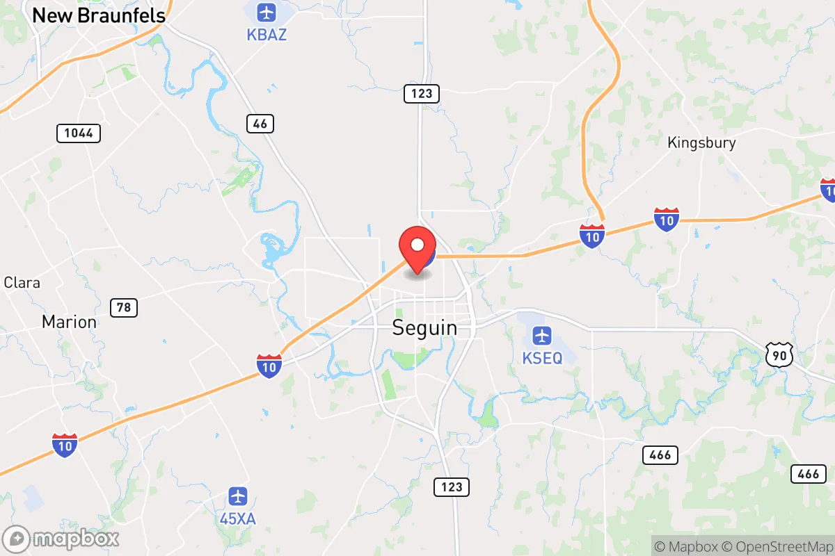
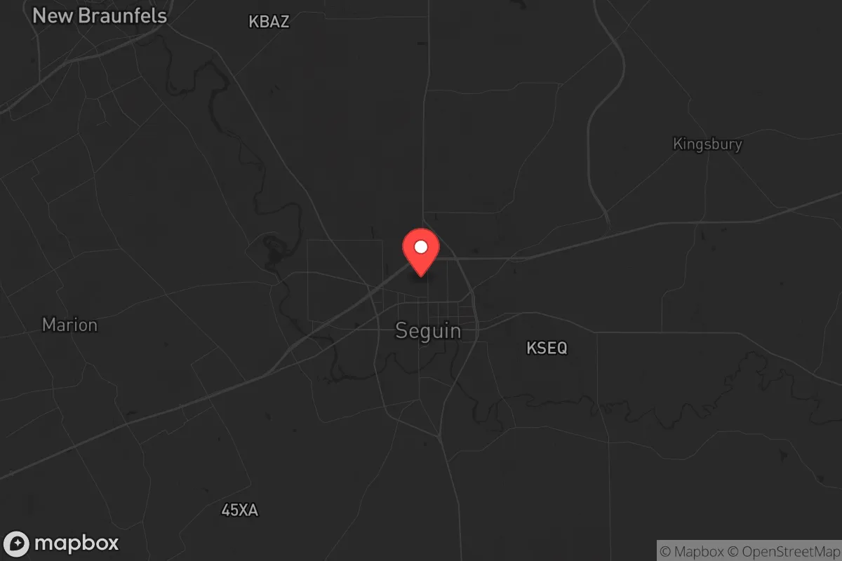
Seguin, Texas, occupies a strategic niche that balances proximity to major economic corridors with a degree of geographic insulation that appeals to those planning for long-term resilience. Located roughly 35 miles east of San Antonio and 45 miles south of Austin, this Guadalupe County seat of roughly 30,000 residents sits at a critical inflection point: close enough to tap into the resources and medical infrastructure of two major metros, yet far enough to avoid the immediate blast radius, traffic choke points, and social friction of those urban centers. For a relocator operating from a prepper or survivalist mindset, Seguin offers a workable middle ground—neither a remote bunker nor a vulnerable suburb, but a place where one can build a sustainable, defensible life while still maintaining access to the supply chains and labor markets that keep a household running.
Geographic position and natural advantages for long-term sustainability
Seguin sits on the eastern edge of the Texas Hill Country, where the Balcones Escarpment begins to flatten into the Coastal Plains. This transition zone provides several natural advantages. The area receives roughly 34 inches of rainfall annually—more than the arid western parts of the state—which supports reliable well water and small-scale agriculture. The Guadalupe River runs through the city’s northern edge, offering a perennial surface water source that is less prone to the severe drought cycles seen further west. The local aquifer, the Carrizo-Wilcox, is one of the more productive in Texas, and many rural properties outside city limits can access it with a private well. The terrain is gently rolling, with enough tree cover (live oak, pecan, cedar) to provide natural screening and firewood, but not so dense as to create a wildfire corridor. For a relocator, this means you can secure a few acres with a well, a septic system, and solar panels without fighting the extreme heat or water scarcity that plagues more remote parts of the state. The growing season runs about 270 days, making year-round food production feasible for anyone willing to put in the work.
Risks, exposures, and proximity to fallout-relevant landmarks
No location is without its vulnerabilities, and Seguin has several that demand honest assessment. The most obvious risk is its proximity to the I-10/I-35 corridor, a major north-south and east-west logistics spine. In a scenario involving civil unrest, mass evacuation, or supply chain disruption, these highways become choke points and potential vectors for looting or refugee flow. San Antonio’s Joint Base San Antonio (Fort Sam Houston, Lackland, Randolph) is about 30 miles west, and Austin’s Camp Mabry and the Texas Military Department are roughly 45 miles north. While these installations provide a security buffer in some scenarios, they also make the region a potential target for asymmetric attacks or secondary effects from a major event. The Guadalupe River, while a water asset, also poses a flood risk—Seguin has experienced significant flooding in 1998, 2002, and 2015, with the 2015 Memorial Day flood causing over $100 million in damage in Guadalupe County alone. For a prepper, this means any property should be sited above the 100-year floodplain and have a clear egress route that doesn’t rely on a single low-water crossing. Additionally, the proximity to the Eagle Ford Shale oil and gas fields (about 30 miles south) means there is industrial infrastructure—pipelines, processing plants, truck traffic—that could become a hazard in a disaster or a target in a conflict scenario. The nuclear power plant at South Texas Project (Bay City) is about 90 miles southeast, outside the immediate fallout zone but within a plausible secondary risk radius for a major event.
Practical resilience for a relocator: food, water, energy, and defensibility
For the individual or family looking to establish a resilient household, Seguin offers a mix of assets and gaps that require deliberate planning. Water security is the strongest card here: the Guadalupe River and the Carrizo-Wilcox aquifer provide redundancy that many Texas towns lack. A well-drilled to 300-500 feet can yield 10-20 gallons per minute, enough for household use and small-scale irrigation. Rainwater catchment is also viable, with average annual rainfall supporting a 1,000-gallon tank system for a family of four. Food production is feasible but not automatic: the soil is sandy loam in many areas, requiring amendment for heavy vegetable production, but the long growing season allows for three-season gardening. Local farmers’ markets and the Seguin Food Co-op provide backup supply chains, but a serious prepper should plan to establish a home garden and possibly a small orchard (pecans, figs, citrus in protected microclimates). Energy independence is achievable: the region averages about 220 sunny days per year, making solar PV a solid investment. Net metering is available through Guadalupe Valley Electric Cooperative, but a battery backup system is advisable for grid-down scenarios. Natural gas is widely available in town, but rural properties often rely on propane, which requires storage and resupply planning. Defensibility is moderate: Seguin is not a gated community or a remote mountain redoubt. The city has a low crime rate relative to San Antonio (violent crime is about 60% lower per capita), but the open terrain and multiple access roads mean a determined threat could approach from several directions. The best strategy is to choose a property with a single access point, natural barriers (creek, treeline), and good visibility of approach routes. The local sheriff’s office is well-funded and responsive, but in a widespread event, you should not rely on them for perimeter security. Medical resilience is a weak point: Guadalupe Regional Medical Center is a 125-bed facility with basic emergency services, but for trauma or complex care, you’re looking at a 35-minute drive to San Antonio’s Level I trauma centers. Stockpiling trauma supplies, antibiotics, and having a telemedicine plan is non-negotiable.
The overall strategic picture for Seguin is one of calculated trade-offs. It is not a survivalist’s paradise—you won’t find the isolation of the Montana Rockies or the defensibility of a mountain valley. What you will find is a functional, affordable base of operations that gives you a fighting chance to ride out a crisis while still maintaining a normal life in the meantime. The local economy is anchored by manufacturing (Caterpillar, Tyson Foods, Alamo Group) and a growing logistics sector, which means jobs are available if you need them, but also that the area is tied to the broader Texas economy. The political culture in Guadalupe County leans conservative—Trump won the county by 20 points in 2020—and the local governance is generally pro-property rights and low-regulation, which matters for anyone wanting to build a workshop, install a solar array, or keep livestock. The biggest risk is complacency: Seguin feels safe and stable, which can lull a relocator into under-preparing. The reality is that its location between two major metros and along a major transportation corridor makes it a potential pressure-release valve in a crisis. If you’re looking for a place to build a resilient household without going off-grid entirely, Seguin deserves a serious look—just don’t mistake its quiet charm for invulnerability. Plan your water, power, and medical contingencies, build your community network, and treat the proximity to San Antonio and Austin as a resource to be managed, not a guarantee of safety.
* Values derived from national, state, county, city and local statistics and may differ in a specific area. Last updated: 2026-05-11T22:05:42.000Z
Narrative content on this page is AI-generated and may contain mistakes. Verify any details that matter before acting on them.
ReloMaps may earn a commission from affiliate links at no extra cost to you.