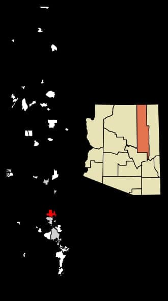
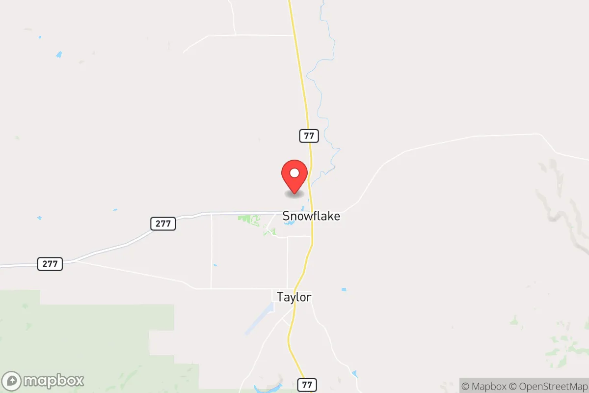
Photo: Wikipedia
Strategic Assessment of Snowflake, AZ
Workable tactical position. Some exposure to population density or targets, but generally defensible in a crisis.
What does the Strategic Assessment tell us?
Our Strategic Assessment grades tactical survivability of an area. Major population centers, military targets, fallout zones, natural disasters, and border exposure all drive risk — lower exposure means a more defensible position in a crisis.
This is heavily inspired by Joel Skousen's Strategic Relocation book. Highly recommended you checkout the book ($)What does this tell us?
Our Strategic Assessment grades tactical survivability of an area. Major population centers, military targets, fallout zones, natural disasters, and border exposure all drive risk — lower exposure means a more defensible position in a crisis.
This is heavily inspired by Joel Skousen's Strategic Relocation book. Highly recommended you checkout the book ($)Strategic Pillars

Key Distances
Regional Safe Places
Below is our recommended "safe zones" in Arizona and the surrounding area based on our strategic heuristics. For most people, it's unrealistic to live in a “safe zone” full-time due to work, family or other personal reasons. They tend to be more rural. However, many of these areas are perfect for second homes and retreat properties that double as a vacation home or even a short-term rental.
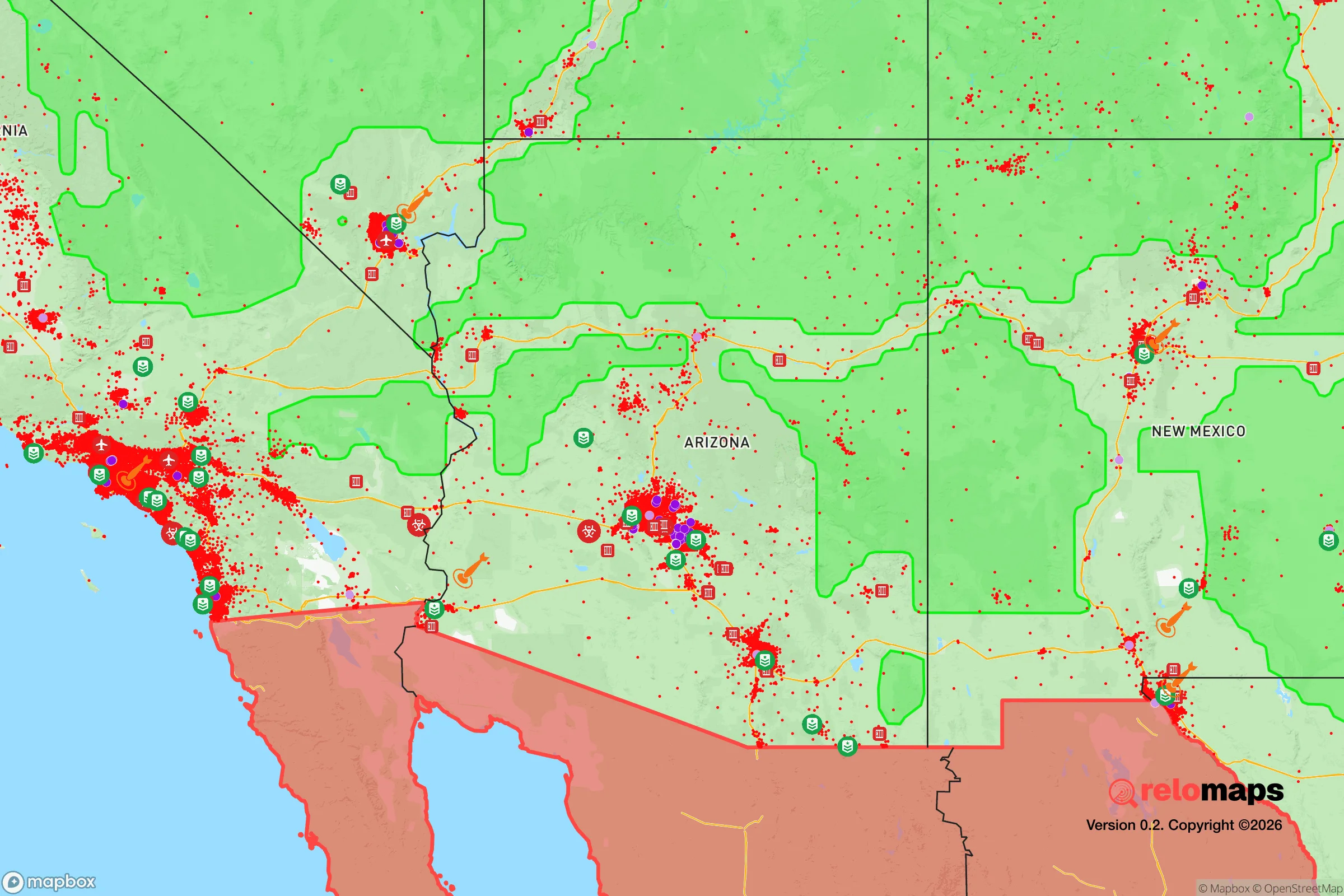
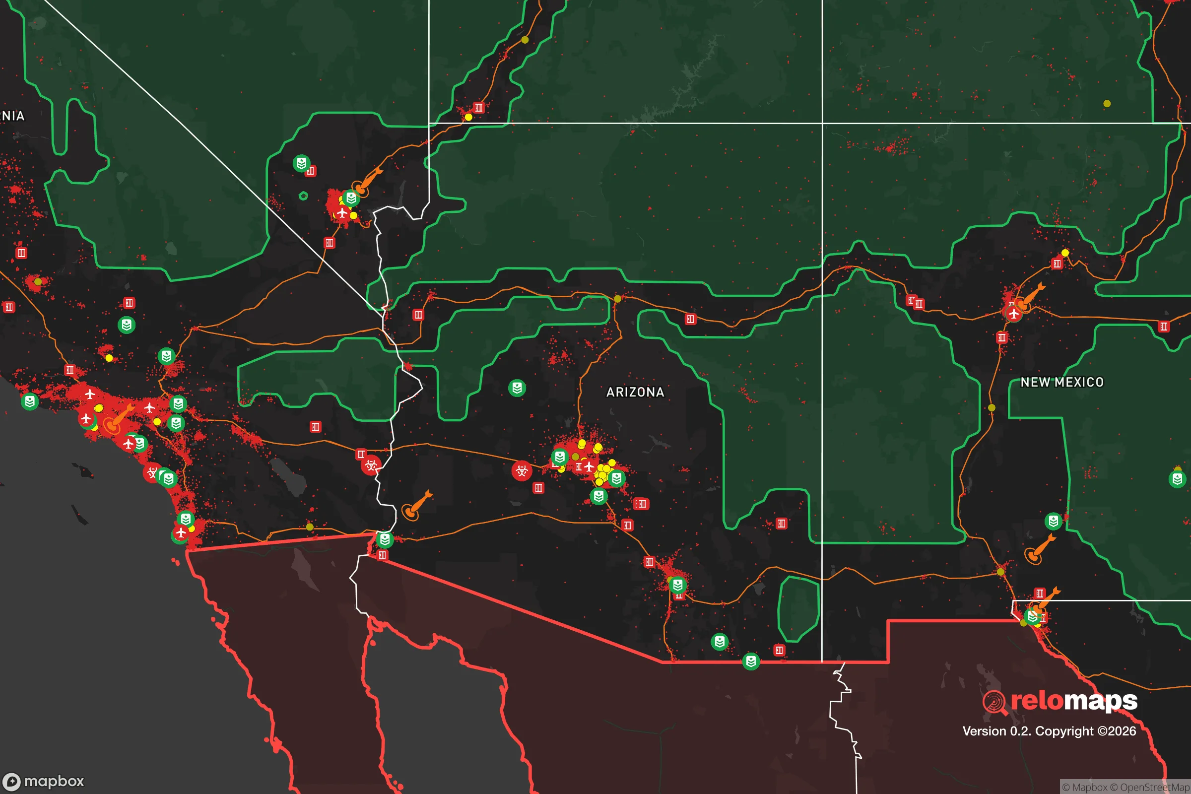


Important Note: For informational purposes only. This does not mean nothing bad ever happens in the green zones. Please use common sense. This is based on public data and modeled with AI. We tried to take a conservative approach but mistakes happen. We update this regularly as new information becomes available.
Solar Generator Recommendations
Backup power matters more here than in safer locations. We've picked three solar generators across budgets and capacity tiers — start with the budget unit if you only need a few essentials, or step up if you want to run a fridge and HVAC for days at a time.

Jackery Portable Power Station Explorer 300
Budget OptionPower on the Go: Weighing only 11 lbs, it's convenient to set up and store with book-sized foldable solar panels

BLUETTI Portable Power Station AC180
Designed for both indoor and outdoor scenarios, AC180 is highly capable as it has a robost capacity and continuous output power.

EF ECOFLOW DELTA Pro Ultra Power Station
Upgraded PickEcoFlow DELTA Pro Ultra is a whole-home energy system designed to grow with your family. Integrated with the Smart Home Panel 2, it scales to meet your evolving energy needs — keeping your home powered, intelligent, and secure through every stage of life.
We earn a commission, at no additional cost to you.
Strategic Assessment Analysis
Snowflake, Arizona, occupies a distinctive strategic position in the White Mountains region that appeals to relocators prioritizing resilience, self-sufficiency, and distance from major metropolitan vulnerabilities. Situated at roughly 5,600 feet elevation in Navajo County, the town offers a blend of high-desert climate, access to forested high country, and a location that is far enough from Phoenix (about 180 miles) and Flagstaff (about 100 miles) to avoid the immediate fallout risks of those population centers, yet close enough for supply runs or medical access. For a conservative-leaning audience weighing disaster readiness, Snowflake’s combination of low population density (around 5,800 residents), a working agricultural base, and a politically and culturally aligned community makes it a serious contender for a strategic relocation.
Geographic position and natural advantages for self-sufficiency
Snowflake sits on the southern edge of the Colorado Plateau, where the terrain transitions from high desert to pine-studded mountains. This elevation provides a moderate four-season climate with annual precipitation averaging 12–14 inches, enough to support dryland farming and grazing without the extreme heat of lower Arizona. The area is part of the Little Colorado River watershed, with the Silver Creek running near town—a perennial stream that, while modest, offers a surface water source for those with proper rights or storage. The surrounding landscape is a mosaic of private ranchland, state trust land, and Apache-Sitgreaves National Forest, giving residents options for hunting, foraging, and timber. The Mogollon Rim, about 30 miles south, acts as a natural barrier that slows access from the Phoenix basin, adding a layer of geographic isolation that is valuable in a crisis scenario. The region’s volcanic soils are fertile for small-scale agriculture, and the growing season of roughly 140 days allows for cool-weather crops like potatoes, beans, and squash. For a relocator, this means the land itself can support subsistence farming with reasonable effort, unlike much of the arid Southwest.
Risks, exposures, and proximity to fallout-relevant landmarks
No strategic assessment is complete without acknowledging the area’s vulnerabilities. Snowflake’s primary man-made risk stems from its proximity to Holbrook, 20 miles north, which sits along the I-40 corridor—a major transcontinental route that could become a chokepoint or target during a national emergency. Holbrook also hosts a rail line and a small industrial base, but the more significant concern is the Petrified Forest National Park and the nearby uranium mining legacy; while not an active fallout source, the region’s history of uranium extraction means residual contamination in some groundwater wells, so well testing is non-negotiable. The Springerville Generating Station, a coal-fired power plant about 40 miles east, is a potential industrial hazard, though it has been winding down operations. Natural risks include wildfire—the 2011 Wallow Fire burned over 500,000 acres in the White Mountains, and Snowflake’s interface with grasslands and juniper woodlands puts it at moderate risk. Flash flooding from summer monsoons can affect low-lying areas near Silver Creek. Seismic risk is low, and tornadoes are rare. The nearest major military installation is Fort Huachuca, over 200 miles south, which reduces the likelihood of Snowflake being a secondary target. Overall, the risk profile is moderate and manageable with basic preparedness—far better than a suburban Phoenix tract home.
Practical resilience for a relocator: food, water, energy, and defensibility
For someone serious about self-sufficiency, Snowflake offers a workable baseline. Water is the critical variable: the municipal supply comes from wells drawing on the Coconino and Supai aquifers, which are reliable but not unlimited. Most rural properties rely on private wells, with depths typically 200–400 feet and yields of 5–15 gallons per minute—adequate for a household and small garden. Rainwater catchment is legal and encouraged, with average roof collection potential of about 600 gallons per 1,000 square feet annually. The town’s agricultural heritage means local feed stores, farm supply outlets, and a small livestock auction are operational, making it feasible to keep chickens, goats, or a family cow. The Snowflake Farmers Market and nearby producers offer seasonal produce, eggs, and meat, reducing reliance on distant supply chains. Energy-wise, the area has good solar potential—over 280 sunny days per year—and net metering is available through Navajo County’s electric cooperative, though grid outages from winter storms or summer monsoon winds are common enough that a backup generator or battery system is wise. Defensibility is a mixed picture: the town’s layout is spread out with large lots (often 1–5 acres), which provides standoff distance between neighbors, but the flat terrain around the core offers little natural cover. The LDS Church’s strong presence (Snowflake was founded by Mormon settlers) creates a tight-knit community network that can be an asset for mutual aid, but newcomers should expect to build trust over time. The local sheriff’s office is responsive but understaffed, so personal security and neighborhood watch efforts are the norm.
The overall strategic picture for Snowflake is one of a viable, middle-ground relocation option for the disaster-conscious conservative. It lacks the extreme isolation of places like northern Idaho or the Montana Rockies, but it also avoids the crushing heat and water scarcity of southern Arizona. Its greatest strength is its community character and agricultural foundation, which provide a ready-made support system for those willing to integrate. The greatest weaknesses are the moderate wildfire risk and the proximity to the I-40 corridor, which could become a liability in a widespread collapse scenario. For a family or individual who wants a place with a conservative culture, a working land base, and a reasonable distance from major targets, Snowflake deserves a serious look—but only if you’re prepared to drill a well, store a year’s worth of supplies, and get to know your neighbors before the crisis hits.

* Values derived from national, state, county, city and local statistics and may differ in a specific area. Last updated: 2026-08-24T17:17:43.000Z
Narrative content on this page is AI-generated and may contain mistakes. Verify any details that matter before acting on them.
ReloMaps may earn a commission from affiliate links at no extra cost to you.

