
Photo: Wikipedia
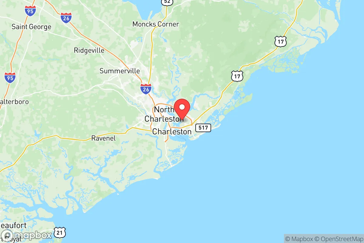
Strategic Assessment of Charleston County
Meaningful friction. Expect exposure to either population pressure, blast zones, or natural disaster risk. Consider buying a retreat property.
What does the Strategic Assessment tell us?
Our Strategic Assessment grades tactical survivability of an area. Major population centers, military targets, fallout zones, natural disasters, and border exposure all drive risk — lower exposure means a more defensible position in a crisis.
This is heavily inspired by Joel Skousen's Strategic Relocation book. Highly recommended you checkout the book ($)What does this tell us?
Our Strategic Assessment grades tactical survivability of an area. Major population centers, military targets, fallout zones, natural disasters, and border exposure all drive risk — lower exposure means a more defensible position in a crisis.
This is heavily inspired by Joel Skousen's Strategic Relocation book. Highly recommended you checkout the book ($)Strategic Pillars

Key Distances
Strategic Assessment Analysis
Charleston County, South Carolina, presents a complex strategic picture for the conservative relocator focused on resilience. Its coastal position offers significant natural advantages in terms of water access and temperate climate, but those same features create severe exposure to hurricane storm surge, sea-level rise, and the concentrated risks of a major port and military-industrial complex. For a single individual or family prioritizing long-term security and self-sufficiency, this area demands a clear-eyed assessment of both its defensive strengths and its undeniable vulnerabilities in an era of increasing instability.
Geographic position and natural advantages for long-term security
Charleston County sits at the confluence of the Ashley, Cooper, and Wando Rivers, forming one of the most naturally defensible harbors on the Eastern Seaboard. This deep-water port has been a strategic asset for centuries, and it remains one today. The surrounding Lowcountry terrain—a mix of salt marshes, maritime forests, and barrier islands—provides natural chokepoints and limited road access, which can be a double-edged sword. For a relocator, the key advantage is the abundant freshwater supply from the Edisto River basin and the extensive aquifer system underlying the region. The area’s long growing season (roughly 240 frost-free days) allows for year-round food production, a critical factor for any serious prepper. The county’s position roughly midway between New York and Miami also means it’s far enough from the major population centers of the Northeast Corridor to avoid the immediate crush of a mass evacuation, yet close enough to access supply lines if they remain intact. Towns like Mount Pleasant and Summerville offer suburban buffers, while more rural areas like Hollywood and Ravenel provide the acreage and privacy needed for a more self-reliant setup.
Risks, exposures, and proximity to fallout-relevant landmarks
This is where the analysis gets serious. Charleston County’s greatest strategic liability is its concentration of high-value, high-risk infrastructure. The Port of Charleston is a top-10 U.S. container port and a major hub for military cargo, making it a prime target for any adversary seeking to disrupt American logistics. Directly adjacent is Joint Base Charleston, which hosts the 628th Air Base Wing, C-17 transport squadrons, and a Navy nuclear weapons loading facility. This base is a high-priority target in any peer-level conflict, and its proximity to downtown Charleston (roughly 10 miles) means a conventional strike or a major accident could render the entire urban core uninhabitable. Additionally, the county sits within the blast radius of the Savannah River Site (a nuclear weapons facility about 80 miles upriver) and the Charleston Naval Weapons Station, which stores conventional munitions. For a prepper, living within 20 miles of these sites is a non-starter. The hurricane threat is not theoretical: Category 3+ storms have made direct landfall here in 1989 (Hugo), 2016 (Matthew), and 2018 (Florence). Storm surge can push 15-20 feet into the harbor, flooding downtown Charleston and the peninsula. The county’s evacuation routes—primarily I-26 and US-17—are notoriously bottlenecked, and a mass evacuation during a hurricane or a terror event would be a logistical nightmare. For a conservative relocator, the combination of a high-value military target, a major port, and a hurricane-prone coast creates a risk profile that demands a very specific, hardened location—likely far inland from the coast and away from the base.
Practical resilience for a relocator: food, water, energy, and defensibility
If you choose to locate here, the practical setup must be deliberate. Water is the first priority: the county’s shallow aquifer is vulnerable to saltwater intrusion from storm surge and sea-level rise, so a deep well (200+ feet) or a rainwater catchment system with a large cistern is essential. The long growing season is a genuine asset—you can raise vegetables, fruit trees (figs, citrus, persimmons), and even small livestock (chickens, goats) on a few acres. However, the soil is sandy and acidic, so raised beds and composting are necessary. Energy independence is non-negotiable: the grid here is vulnerable to hurricane damage and cyberattacks on the port. Solar panels with battery storage (e.g., Tesla Powerwall or a DIY lithium setup) are a must, and a backup propane generator for extended outages is wise. For defensibility, the rural areas west of the Ashley River (around Adams Run and Edisto Island) offer limited road access and natural barriers (marshes, creeks) that slow down any unwanted movement. But be aware: property crime rates in Charleston County are above the national average, and the opioid crisis has hit rural areas hard. A good security system, a well-trained dog, and a community of like-minded neighbors are more important here than in many other parts of the South. The county’s gun laws are favorable (South Carolina is a shall-issue state for concealed carry, with no permit needed for open carry), but the local culture is not uniformly pro-2A—Charleston city itself leans left. For a single individual or family, the best bet is to buy land in a small, unincorporated community like Meggett or Pinopolis, where you can establish a low-profile, self-sufficient homestead without drawing attention.
The overall strategic picture for Charleston County is one of high potential reward paired with equally high risk. It offers the natural resources—water, fertile land, a mild climate—that are the foundation of long-term resilience. But the concentration of military and port infrastructure makes it a likely flashpoint in any major conflict or national emergency. For the conservative relocator who is serious about preparedness, the smart play is not to live in the county itself, but to use it as a regional hub for supplies and medical care while establishing a primary residence 30-40 miles inland, in a county like Berkeley or Colleton. If you must be in Charleston County, choose the western rural fringe, invest heavily in off-grid infrastructure, and maintain a low profile. This is not a place for the unprepared or the politically outspoken—it’s a place for the disciplined strategist who understands that security comes from location, not just gear.
* Values derived from national, state, county, city and local statistics and may differ in a specific area. Last updated: 2026-05-13T17:05:01.000Z
Narrative content on this page is AI-generated and may contain mistakes. Verify any details that matter before acting on them.
ReloMaps may earn a commission from affiliate links at no extra cost to you.