
Photo: Wikipedia
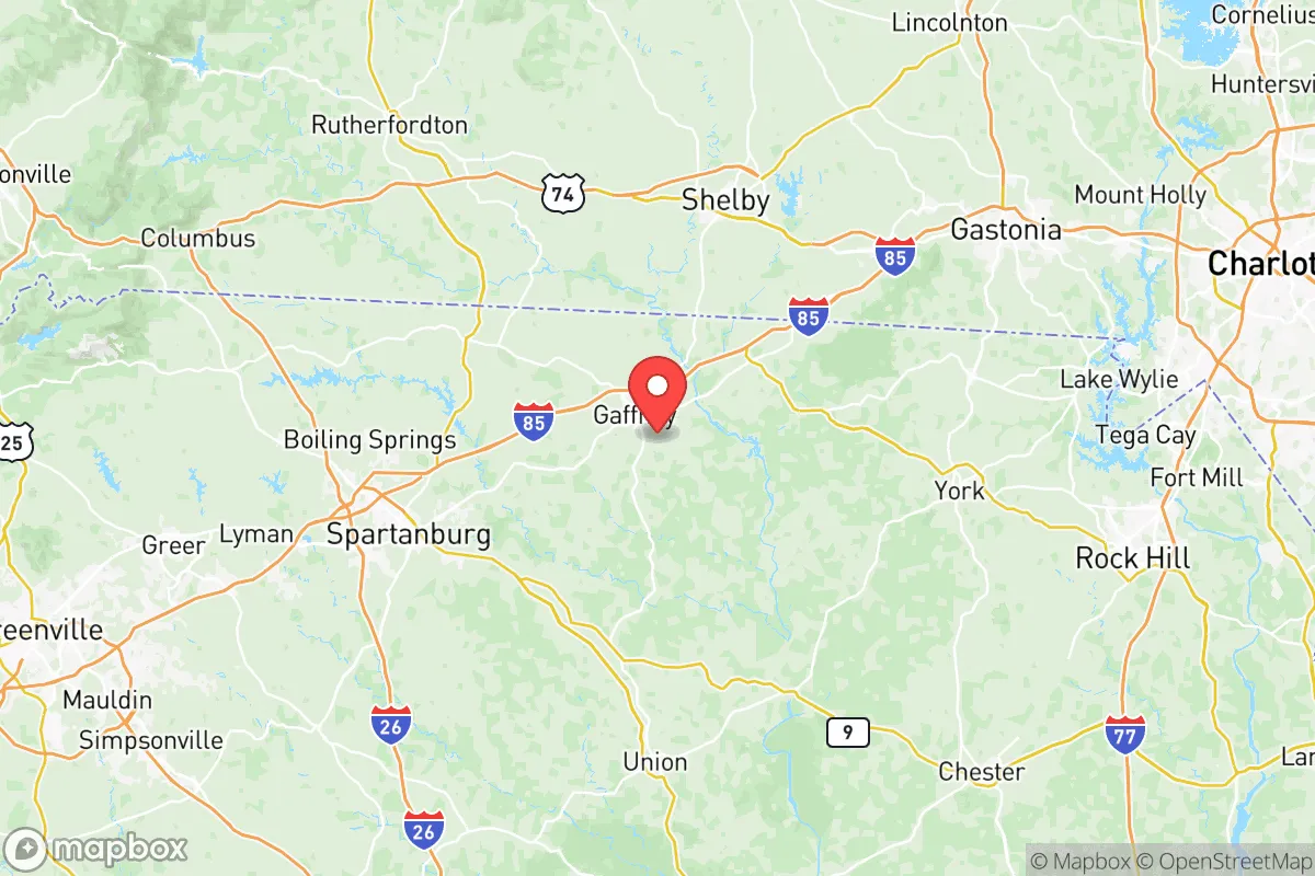
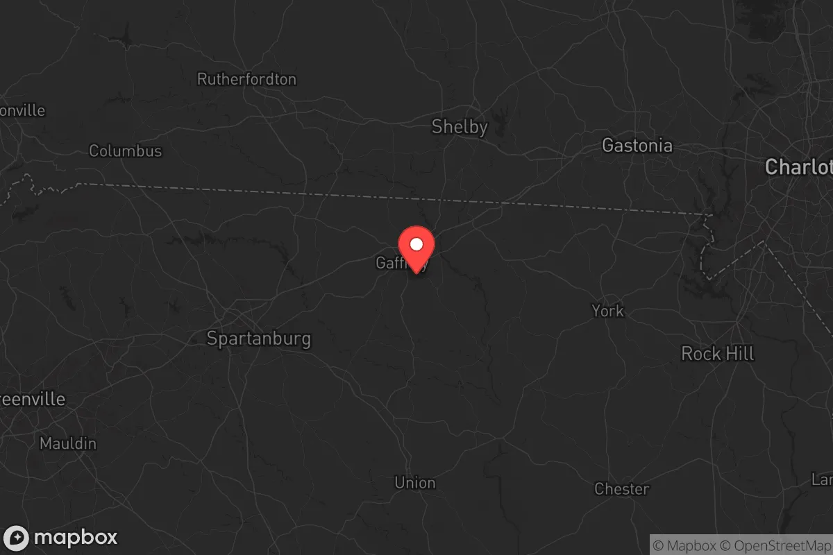
Strategic Assessment of Cherokee County
Meaningful friction. Expect exposure to either population pressure, blast zones, or natural disaster risk. Consider buying a retreat property.
What does the Strategic Assessment tell us?
Our Strategic Assessment grades tactical survivability of an area. Major population centers, military targets, fallout zones, natural disasters, and border exposure all drive risk — lower exposure means a more defensible position in a crisis.
This is heavily inspired by Joel Skousen's Strategic Relocation book. Highly recommended you checkout the book ($)What does this tell us?
Our Strategic Assessment grades tactical survivability of an area. Major population centers, military targets, fallout zones, natural disasters, and border exposure all drive risk — lower exposure means a more defensible position in a crisis.
This is heavily inspired by Joel Skousen's Strategic Relocation book. Highly recommended you checkout the book ($)Strategic Pillars

Key Distances
Strategic Assessment Analysis
Cherokee County, South Carolina, sits in a strategic sweet spot for those prioritizing resilience and self-sufficiency. Its location offers a buffer from the immediate fallout zones of major metropolitan areas while still providing access to critical supply routes and infrastructure. For a relocator with a conservative, prepper mindset, this county presents a viable balance of rural security and logistical connectivity, though it is not without its own set of risks that demand careful consideration.
Geographic position and natural advantages for long-term security
Cherokee County anchors the northwestern corner of South Carolina, straddling the border with North Carolina and Georgia. This tri-state positioning is a genuine asset. It places you within a two-hour drive of Charlotte, North Carolina, and Greenville, South Carolina, but far enough away to avoid the immediate chaos of a major urban collapse. The county seat, Gaffney, is the population hub, but the real draw for a survival-minded individual is the surrounding rural landscape. The terrain rolls from the Piedmont foothills toward the Blue Ridge Mountains, offering natural defensibility, varied microclimates, and abundant water sources. The Broad River cuts through the county's southern half, and its tributaries—like the Pacolet River—provide reliable freshwater access. This is not flat, exposed farmland; it's broken country with ridges, hollows, and forest cover that can obscure movement and provide natural chokepoints. The Kings Mountain National Military Park and Crowders Mountain State Park lie just across the North Carolina line, offering vast tracts of public land that could serve as a buffer zone or a resource area in a prolonged crisis. The climate is temperate, with four distinct seasons, meaning you can grow food, harvest timber, and manage water without the extremes of deep winter or desert heat. For a relocator, this geography is a foundation for a layered defense and a sustainable off-grid lifestyle.
Risks, exposures, and proximity to fallout-relevant landmarks
No location is a fortress, and Cherokee County has its vulnerabilities. The most immediate concern is the Duke Energy nuclear station at Lake Wylie, roughly 30 miles east in York County. While not a direct blast threat, a major incident there could send a plume across the region depending on wind patterns. More pressing is the county's position relative to the I-85 corridor, a major north-south artery connecting Charlotte to Atlanta. In a mass evacuation or civil unrest scenario, this highway becomes a liability—a funnel for displaced populations and looters. The Gaffney Premium Outlets and the nearby Cherokee County Commerce Park are economic assets in normal times, but they become targets for looting and congregation points for desperate people in a breakdown. The county also sits within a few hours of Fort Jackson (Columbia, SC) and Fort Bragg (Fayetteville, NC), major military installations. While these bases represent security in a national emergency, they also mean that Cherokee County could be a staging area or a route for military convoys, drawing unwanted attention. The proximity to Charlotte Douglas International Airport—a major hub—is a double-edged sword: it's useful for resupply in a managed crisis, but in a pandemic or bioweapon scenario, it's a primary vector for contagion. The county's own industrial base, including textile and manufacturing plants, is not a high-value target, but the rail lines running through Gaffney could be used for transporting hazardous materials or become chokepoints for movement. The key takeaway: Cherokee County is not a zero-risk zone, but its risks are manageable with proper planning—unlike living directly in the blast radius of a refinery or a major port.
Practical resilience for a relocator: food, water, energy, and defensibility
For the individual or family looking to hunker down, Cherokee County offers a strong baseline for practical self-sufficiency. Water is the first pillar, and the county is blessed with it. The Broad River and its tributaries are perennial, and groundwater is generally accessible via wells, though you'll want to test for agricultural runoff in lower-lying areas. The Lake Monticello reservoir, just south of Gaffney, provides a backup municipal supply, but for a prepper, a private well with a hand pump is the gold standard. Food production is viable: the growing season runs from April to October, and the soil, while clay-heavy in spots, can be amended for gardens and small orchards. Local farmers' markets and the Cherokee County Farmers Market in Gaffney are good indicators of agricultural capacity, but you'll want to establish your own food forest and seed bank. Hunting is permitted on public lands, with deer, turkey, and small game available, but you'll need to secure private land for reliable access. Energy resilience is a mixed bag. The grid is typical of rural areas—vulnerable to ice storms and summer thunderstorms. Solar is viable, with decent insolation, but you'll need battery storage and a backup generator for extended outages. Wood heating is a practical option, given the forested terrain, and many older homes still have fireplaces or wood stoves. Defensibility is where Cherokee County shines. The rural character means properties are often separated by wooded lots, fields, or creek beds, providing natural standoff. The county's law enforcement presence is modest, so you cannot rely on rapid response. Instead, you build a layered security plan: perimeter fencing, clear sightlines, a neighborhood watch network, and a secure cache of supplies. The Gaffney Police Department and Cherokee County Sheriff's Office are professional but stretched thin; in a crisis, you are your own first responder. The local gun culture is strong, and firearms ownership is common, which is a cultural asset for those who value the right to self-defense.
The overall strategic picture for Cherokee County is one of calculated opportunity. It is not a remote bunker in the wilderness, nor is it a high-risk urban core. It is a rural county with solid infrastructure, good water, and a defensible terrain, positioned at a safe distance from major fallout zones but close enough to access resources if needed. The risks—nuclear proximity, highway vulnerability, and industrial targets—are real but manageable with foresight. For the conservative relocator who values community, self-reliance, and a slower pace of life, Cherokee County offers a foundation to build a resilient future. The key is to arrive prepared, not to expect the county to provide everything. Secure your water source, establish your food production, build your network, and treat the location as a base of operations rather than a final refuge. In a world of increasing uncertainty, this corner of the Carolinas holds its ground.
* Values derived from national, state, county, city and local statistics and may differ in a specific area. Last updated: 2026-05-21T02:28:19.000Z
Narrative content on this page is AI-generated and may contain mistakes. Verify any details that matter before acting on them.
ReloMaps may earn a commission from affiliate links at no extra cost to you.