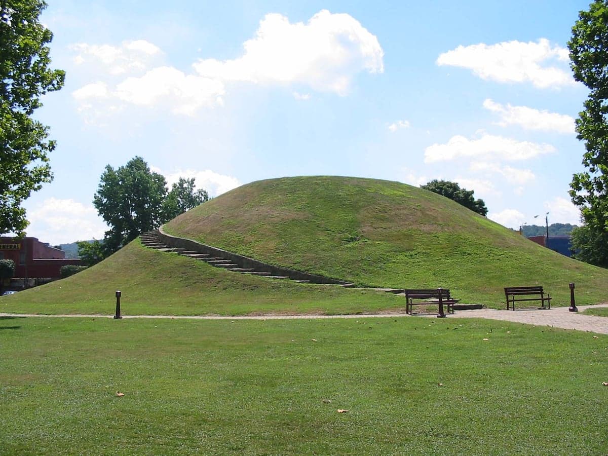
Photo: Wikipedia
Strategic Assessment of South Charleston, WV
Meaningful friction. Expect exposure to either population pressure, blast zones, or natural disaster risk. Consider buying a retreat property.
What does the Strategic Assessment tell us?
Our Strategic Assessment grades tactical survivability of an area. Major population centers, military targets, fallout zones, natural disasters, and border exposure all drive risk — lower exposure means a more defensible position in a crisis.
This is heavily inspired by Joel Skousen's Strategic Relocation book. Highly recommended you checkout the book ($)What does this tell us?
Our Strategic Assessment grades tactical survivability of an area. Major population centers, military targets, fallout zones, natural disasters, and border exposure all drive risk — lower exposure means a more defensible position in a crisis.
This is heavily inspired by Joel Skousen's Strategic Relocation book. Highly recommended you checkout the book ($)Strategic Pillars

Key Distances
Regional Safe Places
Below is our recommended "safe zones" in West Virginia and the surrounding area based on our strategic heuristics. For most people, it's unrealistic to live in a “safe zone” full-time due to work, family or other personal reasons. They tend to be more rural. However, many of these areas are perfect for second homes and retreat properties that double as a vacation home or even a short-term rental.


Important Note: For informational purposes only. This does not mean nothing bad ever happens in the green zones. Please use common sense. This is based on public data and modeled with AI. We tried to take a conservative approach but mistakes happen. We update this regularly as new information becomes available.
Solar Generator Recommendations
Backup power matters more here than in safer locations. We've picked three solar generators across budgets and capacity tiers — start with the budget unit if you only need a few essentials, or step up if you want to run a fridge and HVAC for days at a time.

Jackery Portable Power Station Explorer 300
Budget OptionPower on the Go: Weighing only 11 lbs, it's convenient to set up and store with book-sized foldable solar panels

BLUETTI Portable Power Station AC180
Designed for both indoor and outdoor scenarios, AC180 is highly capable as it has a robost capacity and continuous output power.

EF ECOFLOW DELTA Pro Ultra Power Station
Upgraded PickEcoFlow DELTA Pro Ultra is a whole-home energy system designed to grow with your family. Integrated with the Smart Home Panel 2, it scales to meet your evolving energy needs — keeping your home powered, intelligent, and secure through every stage of life.
We earn a commission, at no additional cost to you.
Strategic Assessment Analysis
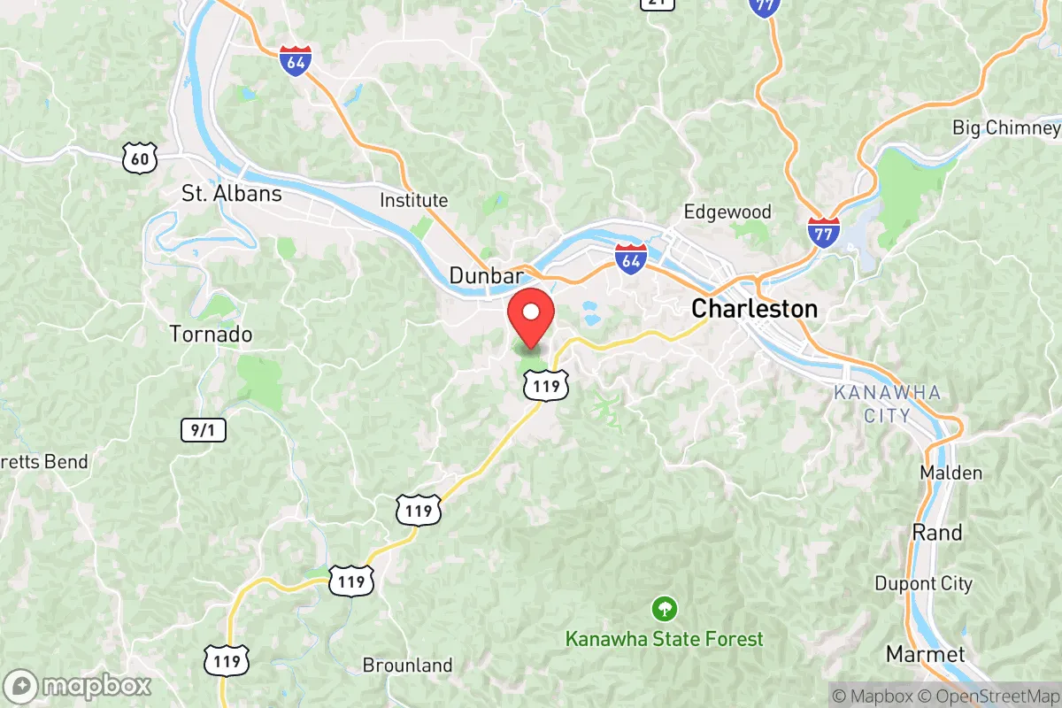
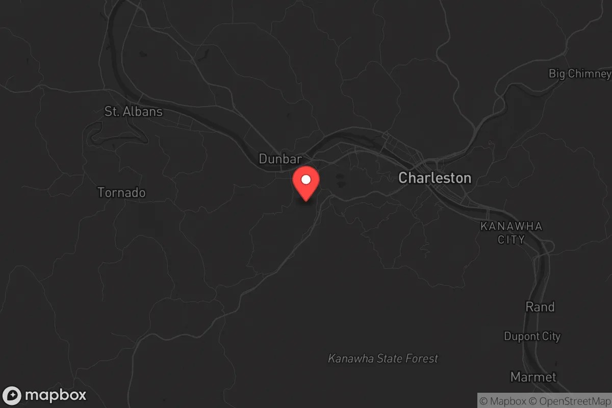
South Charleston, West Virginia, sits in a precarious but potentially advantageous position for those prioritizing resilience and strategic relocation. Its location along the Kanawha River and within the broader Kanawha Valley offers a mix of industrial infrastructure and access to natural resources, but it is also dangerously close to major chemical and energy facilities that could become liabilities in a crisis. For the conservative prepper or survivalist, this area presents a classic trade-off: proximity to critical supplies and transportation corridors versus exposure to high-risk targets and fallout zones. The key is understanding that South Charleston is not a retreat into the deep wilderness, but a staging ground—a place to build capability while maintaining awareness of the vulnerabilities that come with being near a state capital and a major industrial corridor.
Geographic position and natural advantages for long-term survival
The Kanawha Valley's geography provides a natural funnel for movement and resources, which is both a blessing and a curse. South Charleston sits at the confluence of the Kanawha River and the Elk River, giving residents access to two major waterways for transport, fishing, and potential hydropower. The surrounding Appalachian foothills offer rugged terrain that can slow down any large-scale movement, whether from civil unrest or a disorganized population fleeing urban centers. The area's elevation, generally between 600 and 800 feet, provides some natural vantage points, though the valley floor itself is vulnerable to flooding. The dense hardwood forests of the nearby Kanawha State Forest and the larger Monongahela National Forest to the east offer game, timber, and concealment. For a relocator, the ability to tap into the region's coal and natural gas reserves—West Virginia is the second-largest coal producer and a top natural gas state—means energy independence is a realistic goal, provided you have the means to secure a well or a small-scale generator. The Ohio River, just 30 miles west, adds another layer of logistical depth, but also brings the risk of riverine traffic and potential contamination from upstream industrial sites.
Risks, exposures, and proximity to fallout-relevant landmarks
The most significant risk in South Charleston is its proximity to the Union Carbide plant (now part of Dow) in Institute, West Virginia, just a few miles upriver. This facility, which has a history of chemical releases including the 1985 incident that killed 135 people, is a prime target for any scenario involving industrial sabotage, terrorism, or cascading infrastructure failure. A major release of methyl isocyanate or other toxic chemicals could render large portions of the Kanawha Valley uninhabitable for days or weeks. Additionally, the Yeager Airport and the West Virginia State Capitol complex in Charleston are potential targets for civil unrest or precision strikes. The John E. Amos Power Plant, a massive coal-fired facility just 10 miles downstream, is a critical energy node that could be targeted to disrupt the regional grid. For the prepper, these landmarks mean that any bug-out plan must account for prevailing wind patterns (typically west to east) and have a secondary route that avoids the chemical valley. The Interstate 64/77 corridor is a double-edged sword: it provides rapid egress but also serves as a highway for refugees fleeing larger cities like Huntington or Charleston proper. In a mass casualty event, the bridges over the Kanawha River—especially the South Charleston Bridge and the Dunbar Bridge—could become choke points or targets.
Practical resilience for a relocator: food, water, energy, and defensibility
For a single individual or family looking to establish a resilient foothold, South Charleston offers a mix of practical advantages and serious hurdles. Water access is excellent—the Kanawha River is a reliable surface water source, but it requires heavy filtration due to industrial runoff and agricultural silt. A deep well in the surrounding hills is a better long-term bet, with groundwater quality generally good in the fractured sandstone aquifers. Food production is viable but not easy: the growing season is short (about 150 days), and the soil in the valley is often clay-heavy and acidic. Raised beds and greenhouse tunnels are almost mandatory for serious gardening. The area's hunting culture is strong, with deer, turkey, and small game abundant in the nearby forests, but competition from other preppers could spike after a collapse. Energy resilience is a bright spot: West Virginia's deregulated energy market allows for net metering, and the region's abundant solar exposure (though partially shaded by hills) makes rooftop solar a realistic investment. Propane and wood are the primary backup fuels, with wood being the most cost-effective for heating. Defensibility is moderate: the valley's layout means that a determined group could control the few roads in and out, but the terrain also offers numerous infiltration routes for anyone familiar with the hills. A property with a clear line of sight to the river and a single access road is ideal. The local gun culture is strong, with the South Charleston Gun Show and numerous private ranges, making it easy to acquire and maintain firearms without drawing unwanted attention.
The overall strategic picture for South Charleston is one of calculated risk. It is not a remote survivalist paradise—it is a working-class industrial town with real vulnerabilities tied to chemical plants, transportation corridors, and a state capital. However, for the conservative relocator who understands that total isolation is impractical, it offers a base with access to energy, water, and a community that is generally self-reliant and skeptical of federal overreach. The key is to treat South Charleston as a forward operating base, not a final redoubt. Have a bug-out plan that heads east into the Monongahela National Forest or south toward the New River Gorge, and maintain a low profile. The area's resilience comes from its people—many of whom are already living a prepper-adjacent lifestyle out of necessity—and its industrial backbone, which can be repurposed in a crisis. If you can navigate the chemical risks and the potential for civil unrest spilling over from Charleston, South Charleston provides a solid foundation for long-term survival in a deteriorating national landscape.
* Values derived from national, state, county, city and local statistics and may differ in a specific area. Last updated: 2026-04-23T06:05:34.000Z
Narrative content on this page is AI-generated and may contain mistakes. Verify any details that matter before acting on them.
ReloMaps may earn a commission from affiliate links at no extra cost to you.