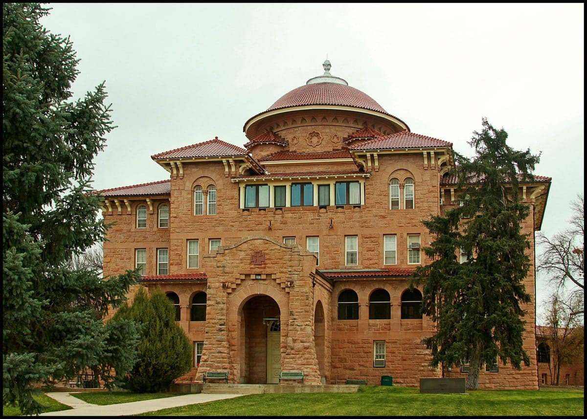
Photo: Wikipedia
Strategic Assessment of Fall River County
Deep buffer from population centers and strategic targets. Low natural disaster risk and minimal exposure to border or coastal threats.
What does the Strategic Assessment tell us?
Our Strategic Assessment grades tactical survivability of an area. Major population centers, military targets, fallout zones, natural disasters, and border exposure all drive risk — lower exposure means a more defensible position in a crisis.
This is heavily inspired by Joel Skousen's Strategic Relocation book. Highly recommended you checkout the book ($)What does this tell us?
Our Strategic Assessment grades tactical survivability of an area. Major population centers, military targets, fallout zones, natural disasters, and border exposure all drive risk — lower exposure means a more defensible position in a crisis.
This is heavily inspired by Joel Skousen's Strategic Relocation book. Highly recommended you checkout the book ($)Strategic Pillars

Key Distances
Strategic Assessment Analysis
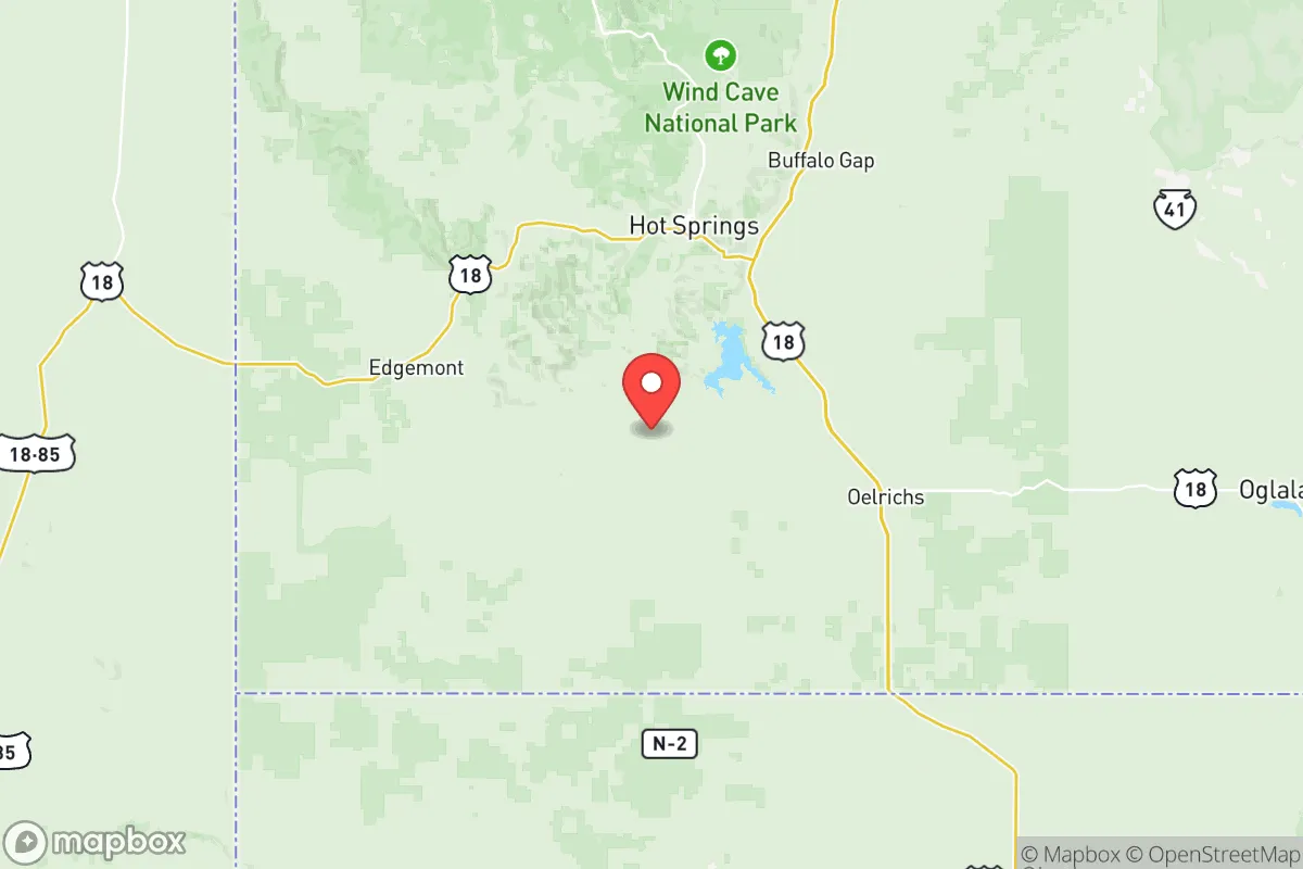
Fall River County, South Dakota, offers a compelling strategic position for those prioritizing resilience and self-sufficiency, anchored by its location in the far southwestern corner of the state. The county seat, Hot Springs, sits roughly 50 miles south of Rapid City and just north of the Nebraska border, placing it well outside the immediate fallout zones of major metropolitan targets while still providing access to regional services. The area's low population density—roughly 7,000 residents spread across 1,749 square miles—combined with its distance from strategic military and industrial infrastructure, makes it a strong candidate for a relocation focused on long-term preparedness and reduced exposure to cascading risks.
Geographic position and natural advantages for long-term security
Fall River County's geography provides several inherent defensive and resource advantages. The region sits within the Black Hills foothills, offering varied terrain that includes canyons, buttes, and the southern edge of the Black Hills National Forest. This topography creates natural choke points and defensible positions, particularly around the town of Edgemont and the Angostura Reservoir area. The county's elevation—ranging from roughly 3,000 to over 4,000 feet—places it above the flood-prone plains of eastern South Dakota and reduces vulnerability to tornadoes compared to the central and eastern parts of the state. The area's distance from major population centers is a key asset: Rapid City is the nearest city of any size at 50 miles north, while the nearest major metropolitan area (Denver) is over 350 miles southwest. This buffer significantly reduces exposure to fallout from a nuclear event targeting urban centers, military installations, or critical infrastructure. The county also sits near the Cheyenne River and the Fall River, providing surface water sources that are less contested than in more arid western states.
Risks, exposures, and proximity to fallout-relevant landmarks
While Fall River County's isolation is generally positive, it is not without strategic exposures. The most significant risk factor is Ellsworth Air Force Base, located just east of Rapid City, which houses the 28th Bomb Wing and is a primary operating base for B-1B Lancer bombers. In a conflict scenario involving strategic nuclear forces, Ellsworth is a high-priority target. Fallout patterns from a strike on Ellsworth would depend heavily on wind direction, but the base is roughly 50 miles north of Hot Springs, placing the county within a moderate-risk zone for secondary fallout if prevailing winds blow south. Additionally, the county is within 200 miles of the Pine Ridge Indian Reservation and the Badlands region, which contain no major industrial targets but could see refugee movement from Rapid City in a crisis. The area's wildfire risk is moderate, particularly in dry summers, and the county experiences occasional severe winter storms that can isolate rural properties for days. There are no major refineries, ports, or nuclear power plants within 150 miles, which is a net positive for fallout exposure but means the area lacks the industrial redundancy that some relocation scenarios might seek.
Practical resilience for a relocator: food, water, energy, and defensibility
For a relocator focused on practical self-sufficiency, Fall River County offers a mixed but generally favorable picture. Water availability is a standout advantage: the county sits atop the Madison Aquifer, and the Fall River and Cheyenne River systems provide reliable surface water. Hot Springs itself is named for its natural warm springs, which flow year-round and could serve as a water source in a grid-down scenario. Agricultural potential is limited by semi-arid conditions and short growing seasons, but the county supports cattle ranching and dryland farming, and smaller homesteads can produce vegetables with irrigation from the rivers. The area's energy profile is improving: wind resources are strong, and solar potential is viable for off-grid setups, though winter cloud cover can reduce solar output. The county's low population density and rugged terrain make it naturally defensible—choke points along Highway 18 and Highway 79 can be monitored, and the many canyons and draws offer concealment. However, the nearest major medical facility is in Rapid City, and the county's own hospital in Hot Springs is a critical access facility with limited trauma capability. For those planning long-term resilience, building community ties in Hot Springs or Edgemont is essential, as the area's small population means mutual aid networks are thin and self-reliance is the default expectation.
The overall strategic picture for Fall River County is one of strong geographic isolation and resource availability, tempered by proximity to a single high-value military target and the practical challenges of rural living. For a relocator who values distance from urban centers, access to water, and defensible terrain, the county ranks well among South Dakota options. The primary trade-off is the Ellsworth AFB risk, which is real but manageable with proper fallout planning and an understanding of prevailing wind patterns. The area's low cost of land, minimal regulatory burden, and existing infrastructure in Hot Springs make it a practical choice for those serious about preparedness, provided they are willing to accept the isolation and limited medical access that come with deep rural living. Fall River County is not a bug-out location for a weekend prepper—it is a long-term homesteading zone for those who intend to stay and build.

* Values derived from national, state, county, city and local statistics and may differ in a specific area. Last updated: 2026-10-13T16:20:22.000Z
Narrative content on this page is AI-generated and may contain mistakes. Verify any details that matter before acting on them.
ReloMaps may earn a commission from affiliate links at no extra cost to you.

