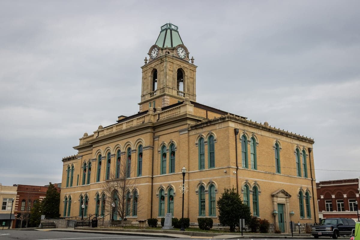
Photo: Wikipedia
Strategic Assessment of Springfield, TN
Meaningful friction. Expect exposure to either population pressure, blast zones, or natural disaster risk. Consider buying a retreat property.
What does the Strategic Assessment tell us?
Our Strategic Assessment grades tactical survivability of an area. Major population centers, military targets, fallout zones, natural disasters, and border exposure all drive risk — lower exposure means a more defensible position in a crisis.
This is heavily inspired by Joel Skousen's Strategic Relocation book. Highly recommended you checkout the book ($)What does this tell us?
Our Strategic Assessment grades tactical survivability of an area. Major population centers, military targets, fallout zones, natural disasters, and border exposure all drive risk — lower exposure means a more defensible position in a crisis.
This is heavily inspired by Joel Skousen's Strategic Relocation book. Highly recommended you checkout the book ($)Strategic Pillars

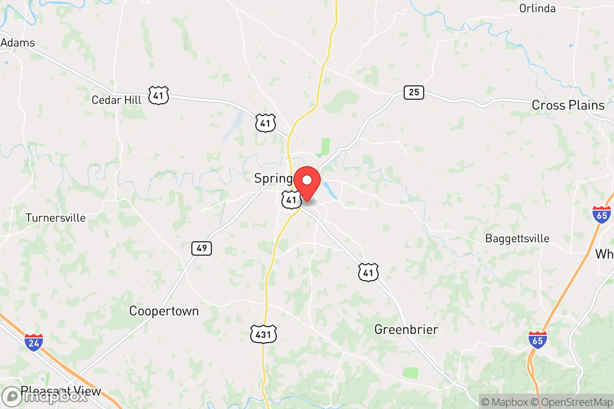
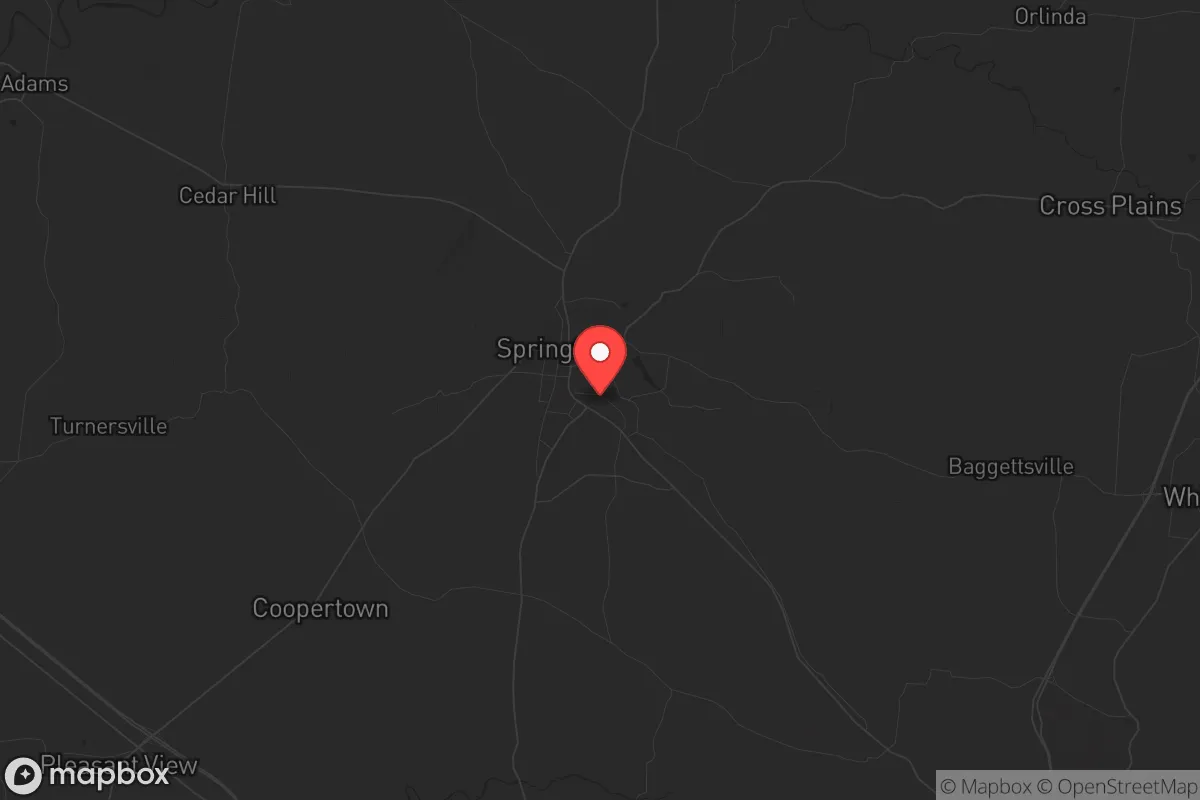
Key Distances
Regional Safe Places
Below is our recommended "safe zones" in Tennessee and the surrounding area based on our strategic heuristics. For most people, it's unrealistic to live in a “safe zone” full-time due to work, family or other personal reasons. They tend to be more rural. However, many of these areas are perfect for second homes and retreat properties that double as a vacation home or even a short-term rental.
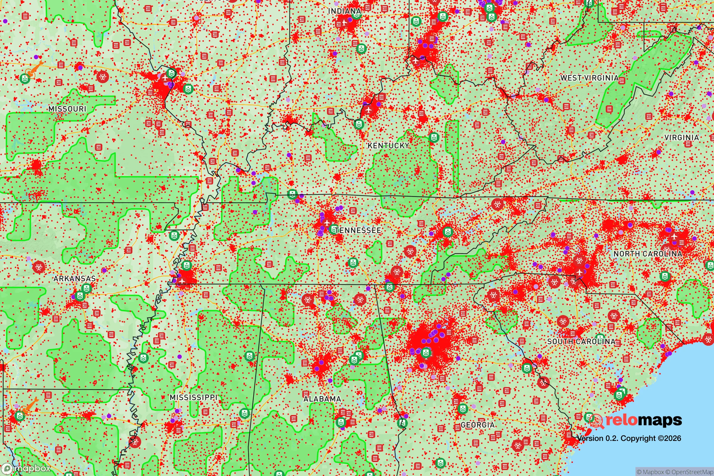
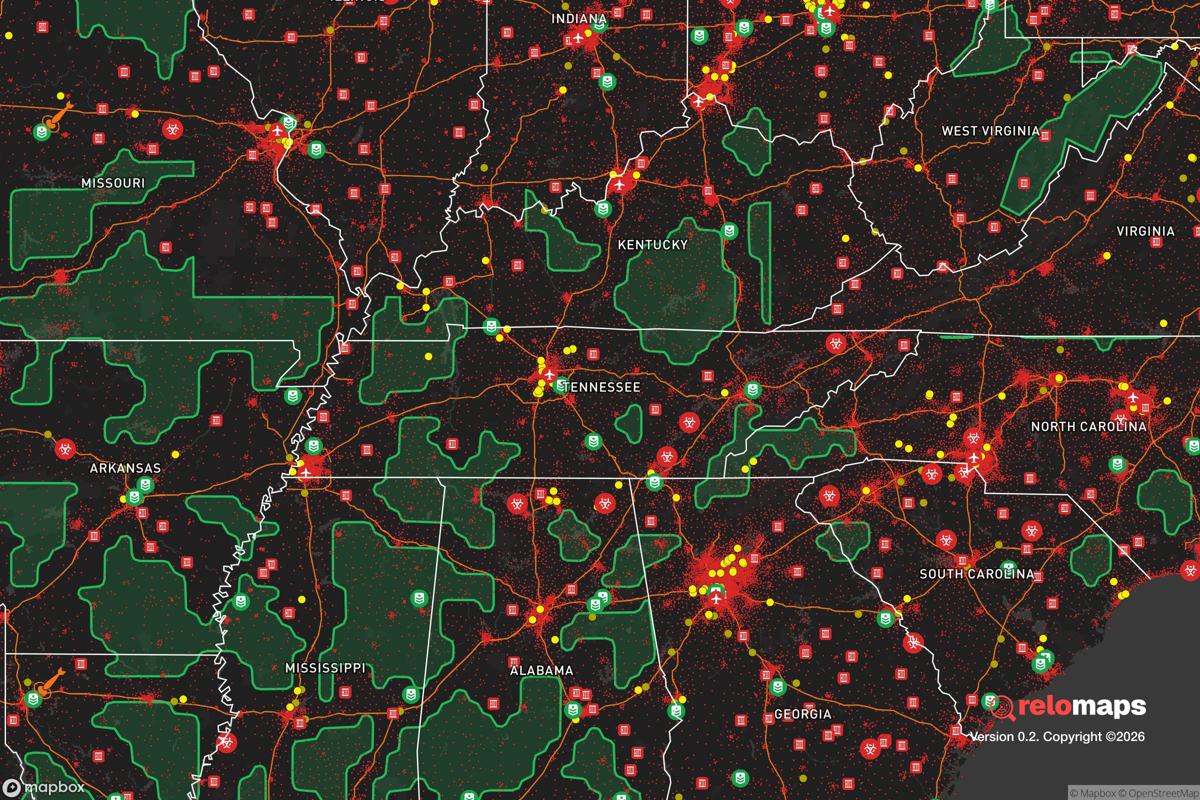
Important Note: For informational purposes only. This does not mean nothing bad ever happens in the green zones. Please use common sense. This is based on public data and modeled with AI. We tried to take a conservative approach but mistakes happen. We update this regularly as new information becomes available.
Solar Generator Recommendations
Backup power matters more here than in safer locations. We've picked three solar generators across budgets and capacity tiers — start with the budget unit if you only need a few essentials, or step up if you want to run a fridge and HVAC for days at a time.

Jackery Portable Power Station Explorer 300
Budget OptionPower on the Go: Weighing only 11 lbs, it's convenient to set up and store with book-sized foldable solar panels

BLUETTI Portable Power Station AC180
Designed for both indoor and outdoor scenarios, AC180 is highly capable as it has a robost capacity and continuous output power.

EF ECOFLOW DELTA Pro Ultra Power Station
Upgraded PickEcoFlow DELTA Pro Ultra is a whole-home energy system designed to grow with your family. Integrated with the Smart Home Panel 2, it scales to meet your evolving energy needs — keeping your home powered, intelligent, and secure through every stage of life.
We earn a commission, at no additional cost to you.
Strategic Assessment Analysis
Springfield, Tennessee, offers a compelling mix of strategic resilience and practical vulnerability for the conservative prepper. Sitting roughly 30 miles north of Nashville, it provides enough distance from a major urban center to avoid the worst of immediate fallout from a civic collapse or mass casualty event, yet remains close enough to leverage regional resources if the grid holds. The area’s position along the I-65 corridor is a double-edged sword: it’s a vital evacuation route and supply line, but also a primary target for population displacement during a crisis. For the single individual or family looking to plant roots in a place that balances rural quiet with access to infrastructure, Springfield is a serious contender—but only if you understand the risks baked into its geography.
Geographic position and natural advantages for long-term survival
Springfield sits in Robertson County, a region defined by rolling hills, limestone bluffs, and the Red River watershed. The terrain offers natural defensibility—elevated ridgelines provide vantage points, and the numerous creeks and tributaries create natural barriers that slow movement. The area is part of the Highland Rim, which means it’s less prone to the flooding that plagues Middle Tennessee’s low-lying areas, though flash flooding from heavy rains is still a concern. The soil is fertile, supporting small-scale agriculture and livestock, which is a critical advantage for anyone planning to grow food post-collapse. The climate is temperate, with four distinct seasons, meaning you can grow cool-weather crops in spring and fall, and store root vegetables through winter. The region’s karst topography also means there are caves and sinkholes that could serve as natural shelters or cold storage, though you’ll need to scout private land for access. For the prepper, the key takeaway is that Springfield sits in a sweet spot: far enough from the Cumberland Plateau’s rugged isolation to maintain access to trade routes, but close enough to the Tennessee River Valley to tap into water resources if the municipal system fails.
Risks, exposures, and proximity to fallout-relevant landmarks
The biggest strategic weakness of Springfield is its proximity to Nashville and the I-65 corridor. In a mass casualty event—whether from a biological outbreak, coordinated attack, or economic collapse—Nashville’s 1.2 million metro population will become a massive liability. The I-65 is the primary escape route for those fleeing the city, and Springfield sits directly in that path. Expect gridlock, resource competition, and potential violence from desperate urban refugees. Additionally, the area is within 50 miles of the Tennessee Valley Authority’s (TVA) Cumberland Fossil Plant and the Gallatin Steam Plant, both of which are potential targets for sabotage or accidental release. While these are not nuclear reactors, they store massive quantities of coal ash and chemicals that could contaminate local water supplies if breached. The Robertson County Emergency Management Agency has plans for hazmat incidents, but in a real collapse, those plans will be paper. There’s also the risk of tornadoes—the region sits in Dixie Alley, and a direct hit on Springfield could level infrastructure and disrupt supply chains for weeks. For the prepper, the calculus is clear: you’re trading the immediate dangers of urban proximity for the long-term risks of being a choke point on a major evacuation route. If you’re going to settle here, you need a plan for securing your perimeter and filtering out transient threats.
Practical resilience for a relocator: food, water, energy, and defensibility
Springfield’s practical resilience depends heavily on your ability to go off-grid. The municipal water supply comes from the Red River and groundwater wells, but the treatment plant is vulnerable to power loss and contamination. A deep well on your property, paired with a hand pump or solar-powered pump, is non-negotiable. The area’s average annual rainfall is about 50 inches, so rainwater catchment is viable, but you’ll need to filter for sediment and bacteria. For food, the local agricultural base is strong—Robertson County has a history of tobacco, corn, and soybean farming, and there are several small-scale livestock operations. You can buy direct from farmers at the Robertson County Farmers Market, but in a collapse, those supply lines will dry up fast. You need to establish your own garden and consider raising chickens or goats. The soil is clay-heavy in spots, so raised beds or contour farming will improve yields. For energy, the grid is reliable in normal times, but ice storms and tornadoes can knock it out for days. Solar panels with battery storage are a solid investment, but the tree cover in many residential areas limits sun exposure. A backup generator running on propane or diesel is a practical hedge. Defensibility is where Springfield shines for the prepared relocator. The rural outskirts offer properties with long sightlines, natural barriers like creeks and ridges, and limited road access. You can secure a perimeter with fencing, motion lights, and a good dog. The local sheriff’s office is responsive, but in a crisis, you’re on your own. The community is generally conservative and self-reliant, which means you’ll find neighbors who share your mindset—but also means you need to build trust before relying on mutual aid.
The overall strategic picture for Springfield, Tennessee, is one of calculated risk. It’s not a bug-out location in the wilderness; it’s a working-class town with real exposure to urban fallout and infrastructure vulnerabilities. But for the prepper who wants to stay connected to regional resources while maintaining a defensible homestead, it’s a viable option. The key is to treat it as a base of operations, not a fortress. You need to stockpile supplies for at least 90 days, secure your water and energy independence, and build relationships with like-minded locals before the crisis hits. The area’s growth is accelerating—new subdivisions and warehouses are creeping in—so land prices are rising. If you’re serious about relocating here, act now while you can still find acreage with a well and septic. Springfield won’t save you from a full-scale collapse, but it gives you a fighting chance to ride out the storm and rebuild.
* Values derived from national, state, county, city and local statistics and may differ in a specific area. Last updated: 2026-05-01T08:51:19.000Z
Narrative content on this page is AI-generated and may contain mistakes. Verify any details that matter before acting on them.
ReloMaps may earn a commission from affiliate links at no extra cost to you.