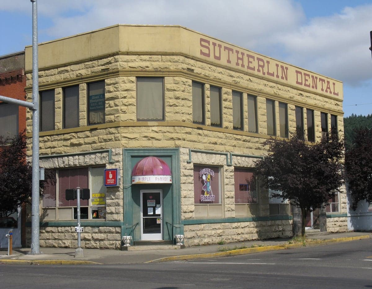
Photo: Wikipedia
Strategic Assessment of Sutherlin, OR
Workable tactical position. Some exposure to population density or targets, but generally defensible in a crisis.
What does the Strategic Assessment tell us?
Our Strategic Assessment grades tactical survivability of an area. Major population centers, military targets, fallout zones, natural disasters, and border exposure all drive risk — lower exposure means a more defensible position in a crisis.
This is heavily inspired by Joel Skousen's Strategic Relocation book. Highly recommended you checkout the book ($)What does this tell us?
Our Strategic Assessment grades tactical survivability of an area. Major population centers, military targets, fallout zones, natural disasters, and border exposure all drive risk — lower exposure means a more defensible position in a crisis.
This is heavily inspired by Joel Skousen's Strategic Relocation book. Highly recommended you checkout the book ($)Strategic Pillars

Key Distances
Regional Safe Places
Below is our recommended "safe zones" in Oregon and the surrounding area based on our strategic heuristics. For most people, it's unrealistic to live in a “safe zone” full-time due to work, family or other personal reasons. They tend to be more rural. However, many of these areas are perfect for second homes and retreat properties that double as a vacation home or even a short-term rental.


Important Note: For informational purposes only. This does not mean nothing bad ever happens in the green zones. Please use common sense. This is based on public data and modeled with AI. We tried to take a conservative approach but mistakes happen. We update this regularly as new information becomes available.
Solar Generator Recommendations
Backup power matters more here than in safer locations. We've picked three solar generators across budgets and capacity tiers — start with the budget unit if you only need a few essentials, or step up if you want to run a fridge and HVAC for days at a time.

Jackery Portable Power Station Explorer 300
Budget OptionPower on the Go: Weighing only 11 lbs, it's convenient to set up and store with book-sized foldable solar panels

BLUETTI Portable Power Station AC180
Designed for both indoor and outdoor scenarios, AC180 is highly capable as it has a robost capacity and continuous output power.

EF ECOFLOW DELTA Pro Ultra Power Station
Upgraded PickEcoFlow DELTA Pro Ultra is a whole-home energy system designed to grow with your family. Integrated with the Smart Home Panel 2, it scales to meet your evolving energy needs — keeping your home powered, intelligent, and secure through every stage of life.
We earn a commission, at no additional cost to you.
Strategic Assessment Analysis
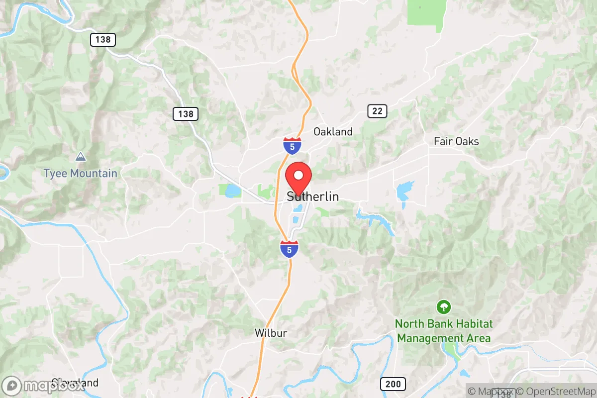
Sutherlin, Oregon, occupies a strategic position in the Umpqua Valley that offers a compelling blend of geographic isolation and practical access, making it a noteworthy candidate for relocation focused on resilience and self-sufficiency. Situated roughly halfway between Eugene and the California border along Interstate 5, the town benefits from being far enough from major metropolitan centers to avoid the immediate fallout of a large-scale disruption, yet close enough to maintain supply lines and economic ties during normal times. With a population hovering around 8,000, Sutherlin provides a small-town buffer that is less likely to be a primary target in a crisis, while its location in a river valley with surrounding forested hills offers natural defensibility and resource potential that many flatter, more exposed communities lack.
Geographic position and natural advantages for long-term stability
Sutherlin sits at the northern edge of Douglas County, nestled between the Coast Range to the west and the Cascade Range to the east. This positioning creates a natural funnel for weather patterns and travel, but it also provides distinct advantages for a relocator. The Umpqua River runs through the area, offering a reliable freshwater source that is less prone to the severe drought conditions seen in southern Oregon or the high desert. The surrounding topography includes forested hills that can serve as both a visual and physical barrier, limiting easy access from the I-5 corridor and providing multiple potential retreat routes into the Umpqua National Forest or the Coast Range if evacuation becomes necessary. The climate is mild by Oregon standards—winters are wet but not extreme, and summers are warm and dry—which reduces the risk of catastrophic wildfire compared to the more fire-prone areas east of the Cascades. For someone prioritizing self-sufficiency, the region's moderate rainfall (around 40-50 inches annually) supports reliable gardening and small-scale agriculture without requiring extensive irrigation infrastructure.
Risk exposure, man-made threats, and proximity to fallout-relevant landmarks
No location is without vulnerabilities, and Sutherlin's risks are worth a sober assessment. The primary natural threat is wildfire, particularly during late summer and early fall when dry easterly winds can push flames through the forested hills. While the town itself is not in a high-risk fire zone like some communities in the Rogue Valley, the surrounding timberlands are a tinderbox in dry years, and smoke events can degrade air quality for weeks. Flooding along the Umpqua River is a secondary concern, though most of Sutherlin's developed areas sit above the 100-year floodplain. From a man-made risk perspective, the town's proximity to Interstate 5 is a double-edged sword. In a major disruption—whether economic collapse, pandemic, or civil unrest—the I-5 corridor becomes a chokepoint for refugees and supply chain breakdowns. Sutherlin is roughly 70 miles from Eugene, which has a population of 175,000 and is home to the University of Oregon, a potential target for unrest or resource competition. It is also about 100 miles from the Portland metro area, which is a major population center and a likely focal point for any large-scale fallout. The nearest military installation of note is the Oregon Army National Guard's facility in Roseburg (20 miles south), which could be a stabilizing presence or a contested asset depending on the scenario. For a relocator concerned with fallout from a nuclear event, Sutherlin's distance from major cities and lack of strategic military or industrial targets is a net positive, but the I-5 corridor itself could become a vector for displaced populations.
Practical resilience: food, water, energy, and defensibility for a relocator
For someone serious about self-sufficiency, Sutherlin offers a workable baseline that requires active improvement. The water situation is favorable: the Umpqua River is a perennial stream, and the local aquifer is generally reliable, though well-drilling costs can be high in the rocky hillsides. The city's municipal water system draws from the river, but a relocator should plan for a backup well or rainwater catchment, as the river could become contaminated during a flood or upstream industrial accident. Food production is viable, with a growing season of roughly 150-180 days that supports tomatoes, squash, beans, and leafy greens. The surrounding agricultural land is used primarily for hay, cattle, and some vineyards, so local food sourcing is possible but not abundant—most groceries come via the I-5 supply chain. For energy, the region is served by Douglas Electric Cooperative, which provides relatively stable power, but the area is prone to winter storms that can knock out lines for days. Solar potential is moderate—the valley gets about 200 sunny days per year—but the surrounding hills can create shading issues, so panel placement is critical. Defensibility is a mixed picture. The town's layout is linear along the I-5 corridor, with residential neighborhoods spreading into the hills. A determined group could secure a hillside property with a single access road, but the flat areas near the highway are more exposed. The local law enforcement presence is limited—Douglas County Sheriff's Office covers a vast area—so community-based security arrangements would be necessary in a prolonged crisis. The nearest hospital is in Roseburg (Mercy Medical Center), which is 20 minutes away, but in a major event, that facility would be overwhelmed quickly.
The overall strategic picture for Sutherlin is one of moderate resilience with clear trade-offs. It is not a hardened bunker location, nor is it a high-risk urban center. For a relocator who values a balance between isolation and access, it offers a defensible position with adequate water, a workable climate, and a low profile that reduces the likelihood of being a target. The key weaknesses are the reliance on the I-5 corridor for supplies, the wildfire risk in the surrounding forests, and the limited local medical infrastructure. A prepared individual or family could mitigate these through stockpiling, fire-hardening their property, and building strong ties with the local community—which, in Douglas County, tends to be self-reliant and politically conservative, aligning well with the audience's values. Sutherlin is not a bug-out destination for the end of the world, but it is a solid, unglamorous choice for someone looking to build a resilient life in a region that is far enough from the chaos to breathe, yet close enough to the grid to function.

* Values derived from national, state, county, city and local statistics and may differ in a specific area. Last updated: 2026-07-30T14:16:47.000Z
Narrative content on this page is AI-generated and may contain mistakes. Verify any details that matter before acting on them.
ReloMaps may earn a commission from affiliate links at no extra cost to you.

