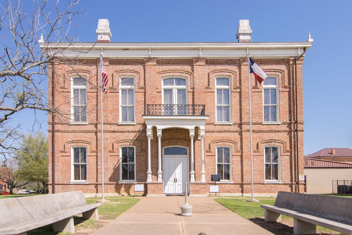
Photo: Wikipedia
Strategic Assessment of Leon County
Workable tactical position. Some exposure to population density or targets, but generally defensible in a crisis.
What does the Strategic Assessment tell us?
Our Strategic Assessment grades tactical survivability of an area. Major population centers, military targets, fallout zones, natural disasters, and border exposure all drive risk — lower exposure means a more defensible position in a crisis.
This is heavily inspired by Joel Skousen's Strategic Relocation book. Highly recommended you checkout the book ($)What does this tell us?
Our Strategic Assessment grades tactical survivability of an area. Major population centers, military targets, fallout zones, natural disasters, and border exposure all drive risk — lower exposure means a more defensible position in a crisis.
This is heavily inspired by Joel Skousen's Strategic Relocation book. Highly recommended you checkout the book ($)Strategic Pillars

Key Distances
Strategic Assessment Analysis
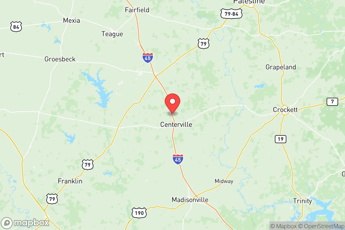
Leon County, Texas, offers a compelling strategic position for relocators prioritizing resilience and self-sufficiency, balancing deep rural isolation with practical access to critical infrastructure. Located roughly 120 miles south of Dallas and 140 miles north of Houston, the county sits in a transitional zone between the Piney Woods and the Blackland Prairie, providing a mix of timber, farmland, and ample groundwater. The county seat, Centerville, along with smaller communities like Buffalo, Jewett, and Normangee, anchor a population of just over 16,000 spread across 1,074 square miles, resulting in a density of roughly 15 people per square mile — a key advantage for those seeking physical separation from urban centers and their associated risks.
Geographic position and natural advantages for long-term security
Leon County's location offers a rare combination of isolation and logistical reach. It lies outside the immediate commuter belts of both the Dallas-Fort Worth and Houston metroplexes, yet Interstate 45 runs directly through the county, providing a high-speed evacuation or resupply corridor that connects to both regions within roughly two hours. The county is also bisected by U.S. Highway 79 and State Highway 7, offering multiple lateral routes that reduce the risk of chokepoint failures. Topographically, the land is gently rolling with significant tree cover, especially in the eastern half near the Trinity River bottomlands, which provides natural concealment and windbreak advantages. The area sits atop the Carrizo-Wilcox Aquifer, one of Texas's most productive groundwater sources, giving residents a reliable, deep water supply that is less vulnerable to surface contamination than shallower aquifers found in the Hill Country or High Plains. The Trinity River forms the county's eastern border, and numerous creeks and stock tanks dot the landscape, offering surface water redundancy for those with proper filtration systems.
Risk exposure: natural hazards and proximity to fallout-relevant landmarks
While Leon County avoids many of the acute risks found in coastal or border regions, it is not without exposure. The primary natural hazard is wildfire, particularly during drought years when the dense pine and hardwood forests of the eastern county become dry fuel loads. The 2011 Texas wildfire season saw significant burns in the region, and properties with heavy tree canopy and limited access roads face elevated risk. Tornado risk is moderate, with the county falling on the southern fringe of the traditional Dixie Alley; the 1987 tornado that struck the town of Buffalo serves as a local reminder that severe weather is a periodic reality. Flooding is localized to the Trinity River floodplain and low-lying areas around Keechi Creek and Bedias Creek, but most of the county's inhabited areas sit on well-drained uplands. From a man-made risk perspective, Leon County's primary advantage is its distance from high-value targets. It lies roughly 100 miles from the Houston Ship Channel and its concentration of refineries and chemical plants, and about 90 miles from the Dallas-Fort Worth metroplex. The nearest military installation of strategic significance is Fort Cavazos (formerly Fort Hood) in Bell County, approximately 70 miles to the west — close enough to be aware of, but far enough to avoid direct fallout from a conventional strike on the base. The county does host a major natural gas pipeline corridor, and the Jewett-area lignite coal mine and power plant (the Oak Grove plant) represent localized industrial infrastructure, but these are not the kind of high-profile targets that would attract strategic strikes. For a relocator concerned with fallout, Leon County's position in the "gap" between major metro areas and away from obvious military or industrial targets is a significant positive.
Practical resilience for relocators: food, water, energy, and defensibility
For those serious about self-sufficiency, Leon County offers a strong baseline across the four core resilience domains. Water is the county's standout advantage: the Carrizo-Wilcox Aquifer provides abundant, high-quality groundwater at depths of 200 to 600 feet, and many rural properties already have wells. Surface water from the Trinity River and its tributaries is available but requires treatment; the county's relatively low industrial upstream activity means contamination risk is lower than in more developed watersheds. Food production is viable, with the county's sandy loam soils supporting row crops, orchards, and pasture. The local agricultural base includes cattle, hay, and some row cropping, and the presence of the Leon County Livestock Auction in Centerville provides a market outlet and a barometer of local food economics. For those without land, the county's small towns have basic grocery infrastructure, but the nearest major supply hubs are in College Station (45 minutes) or Huntsville (50 minutes). Energy resilience is mixed: the grid is served by the ERCOT system, which has shown vulnerability during winter storms (notably Uri in 2021). However, the rural nature of the county means that many residents already maintain backup generators, and the prevalence of propane and diesel infrastructure supports off-grid energy strategies. Solar potential is good, with roughly 220 sunny days per year, and the county's zoning is minimal, allowing for private solar installations without bureaucratic hurdles. Defensibility is where Leon County truly shines. The low population density, extensive tree cover, and limited road network create natural perimeter security. The county's law enforcement presence is thin — the Leon County Sheriff's Office and Texas Department of Public Safety troopers cover a vast area — which means that in a crisis, residents must rely on themselves and their neighbors. The local culture is heavily oriented toward hunting and firearms ownership, and the county's rural ethos strongly supports the concept of mutual aid among established residents. For a newcomer, building trust with neighbors is a practical investment in collective security.
The overall strategic picture for Leon County is one of strong fundamentals with manageable trade-offs. It offers the kind of geographic buffer that is increasingly rare in Texas — close enough to reach urban resources when needed, but far enough to avoid the cascading failures that would accompany a major disruption in Houston or Dallas. The water security provided by the Carrizo-Wilcox Aquifer alone puts it ahead of most Texas counties for long-term resilience. The primary considerations for a relocator are the need to invest in wildfire mitigation (defensible space, metal roofs, pond access), the importance of establishing local relationships before a crisis, and the reality that medical and supply chains are thin — a serious injury or a major supply shortage will require a 45- to 60-minute drive to a regional hospital in College Station or Palestine. For a family or individual who values independence, has the resources to develop a self-sufficient property, and wants a location that is strategically sound without being alarmist, Leon County represents one of the more balanced options in the state.

* Values derived from national, state, county, city and local statistics and may differ in a specific area. Last updated: 2026-08-02T02:03:32.000Z
Narrative content on this page is AI-generated and may contain mistakes. Verify any details that matter before acting on them.
ReloMaps may earn a commission from affiliate links at no extra cost to you.

