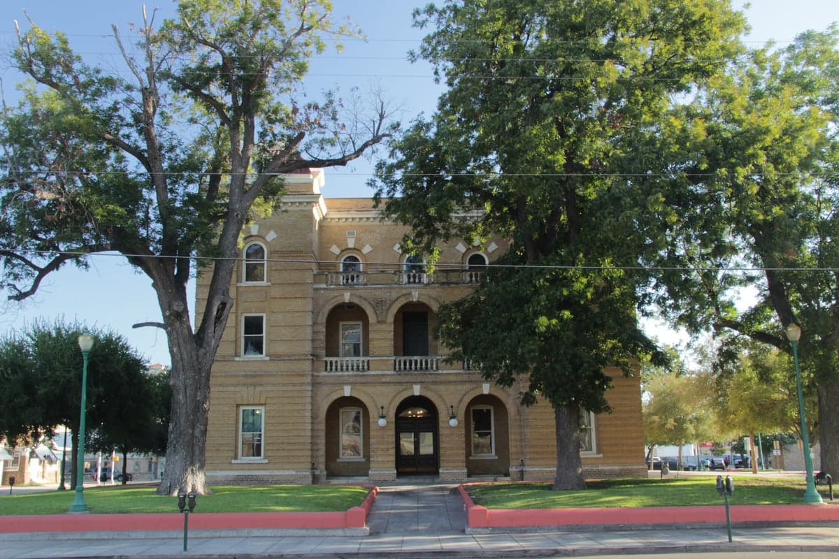
Photo: Wikipedia
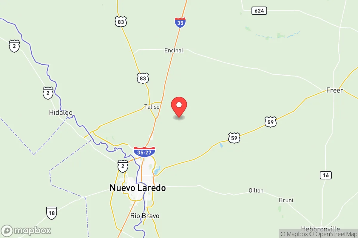
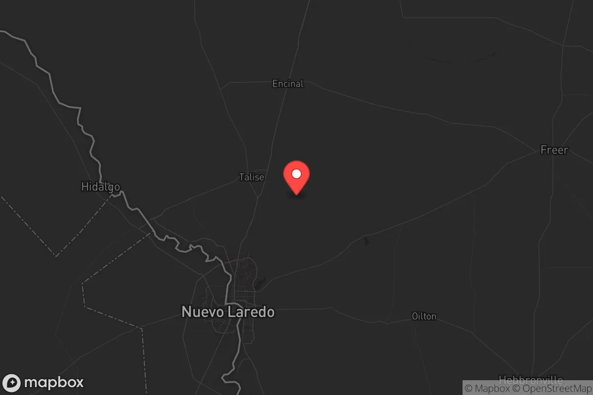
Strategic Assessment of Webb County
Meaningful friction. Expect exposure to either population pressure, blast zones, or natural disaster risk. Consider buying a retreat property.
What does the Strategic Assessment tell us?
Our Strategic Assessment grades tactical survivability of an area. Major population centers, military targets, fallout zones, natural disasters, and border exposure all drive risk — lower exposure means a more defensible position in a crisis.
This is heavily inspired by Joel Skousen's Strategic Relocation book. Highly recommended you checkout the book ($)What does this tell us?
Our Strategic Assessment grades tactical survivability of an area. Major population centers, military targets, fallout zones, natural disasters, and border exposure all drive risk — lower exposure means a more defensible position in a crisis.
This is heavily inspired by Joel Skousen's Strategic Relocation book. Highly recommended you checkout the book ($)Strategic Pillars

Key Distances
Strategic Assessment Analysis
Webb County, anchored by Laredo, presents a mixed strategic picture for the conservative prepper or survivalist. Its primary resilience advantage is its location as a major inland port of entry on the U.S.-Mexico border, which provides a unique economic buffer and a logistical chokepoint that could be leveraged in a crisis. However, that same border proximity introduces significant security liabilities, and the county's dependence on cross-border trade and energy infrastructure creates specific exposure points that any serious relocator must weigh against the area’s potential for self-sufficiency.
Geographic position and natural advantages for long-term survival
Webb County sits in the South Texas Plains, a semi-arid region that offers a distinct set of natural advantages for those thinking about long-term resilience. The county is roughly 150 miles from the Gulf of Mexico, placing it far enough inland to avoid the direct storm surge and hurricane-force winds that hammer coastal cities like Corpus Christi or Brownsville, yet close enough to benefit from Gulf moisture patterns that support ranching and limited agriculture. The terrain is mostly flat to gently rolling brushland, with the Rio Grande forming the southern boundary. This river is the county’s single most critical natural asset: it provides a reliable surface water source, though access is legally and practically complicated by the international border. The climate is hot and dry for much of the year, with average highs above 100°F in July and August, which means water storage and passive cooling are non-negotiable for any off-grid setup. The sparse population density outside Laredo—much of the county is open ranchland—offers natural spacing that reduces the risk of cascading failures from urban infrastructure collapse. The nearest major metropolitan area is San Antonio, about 150 miles northeast, which is far enough to avoid the immediate fallout of a major urban disaster but close enough to be affected by refugee flows or supply chain disruptions originating there.
Risks, exposures, and proximity to fallout-relevant landmarks
Webb County’s biggest strategic liability is its position on the U.S.-Mexico border. Laredo is a primary crossing point for both legal trade and illegal activity, and the county has long dealt with cartel-related violence spilling over from Nuevo Laredo, just across the river. In a scenario of widespread civic unrest or a breakdown of federal authority, this border becomes a vulnerability, not a buffer. The county is also home to the Laredo Energy Center, a major natural gas-fired power plant, and the Laredo Refinery (operated by Valero), which processes crude oil from the Eagle Ford Shale. These facilities are high-value targets for sabotage or disruption, and their proximity to the border makes them harder to secure. Additionally, the Laredo International Airport and the Union Pacific rail yard are critical logistics nodes that could become chokepoints or targets in a national emergency. The county is not near any major military base—the closest is Fort Cavazos (formerly Fort Hood), about 250 miles north—so there is no nearby federal security umbrella. The Rio Grande itself is a double-edged sword: it provides water but also serves as an uncontrolled entry point. For the prepper, the risk of being caught between cartel activity and a federal response is real, and the county’s reliance on cross-border trade means that any disruption to the ports of entry—like a pandemic or trade war—would hit the local economy hard.
Practical resilience for a relocator: food, water, energy, and defensibility
For a relocator looking to establish a self-sufficient homestead, Webb County offers a mixed bag. Water is the most critical factor. The Rio Grande is the only reliable surface water source, but accessing it legally requires riparian rights or a permit from the Texas Commission on Environmental Quality. Groundwater is available from the Carrizo-Wilcox Aquifer, but wells in the county can be deep (300-600 feet) and expensive to drill. Rainwater harvesting is viable, given the region averages about 20 inches of rain per year, but storage capacity must be substantial to get through the dry summer months. Food production is limited by the hot, arid climate; traditional row crops are difficult without irrigation, but ranching is the historical mainstay. Cattle, goats, and sheep do well on the native brush, and hunting—white-tailed deer, javelina, and wild hogs—is a reliable protein source. The county has a strong agricultural extension presence through Texas A&M AgriLife, which offers resources for drought-tolerant gardening and livestock management. Energy resilience is a bright spot: Webb County sits atop the Eagle Ford Shale, and natural gas is abundant. Solar power is also highly effective, with over 260 sunny days per year. Defensibility is a challenge. The flat, open terrain offers long sightlines but little natural cover. A rural property near Encinal or El Cenizo would be more defensible than one near the border crossings, but the lack of natural barriers means that perimeter security—fencing, cameras, and a good neighbor network—is essential. The county’s population is heavily concentrated in Laredo (over 260,000 of the county’s 275,000 residents), so rural properties offer genuine isolation, but that isolation also means longer response times from law enforcement and emergency services.
The overall strategic picture for Webb County is one of high risk and high potential reward for the prepared relocator. The area’s economic anchor in cross-border trade and energy production provides a buffer against total collapse, but it also makes the county a target for disruption. The natural advantages—water from the Rio Grande, abundant solar and natural gas, and low population density outside Laredo—are real, but they require significant upfront investment and a clear-eyed understanding of the security threats. For a conservative prepper who values self-reliance and is willing to invest in water infrastructure, security, and a strong local network, Webb County offers a viable option that is far from the urban chaos of Houston or Dallas. But for anyone seeking a low-maintenance retreat with minimal threats, the border proximity and cartel risk may be a dealbreaker. This is a location for the serious strategist, not the casual survivalist.
* Values derived from national, state, county, city and local statistics and may differ in a specific area. Last updated: 2026-05-12T06:57:04.000Z
Narrative content on this page is AI-generated and may contain mistakes. Verify any details that matter before acting on them.
ReloMaps may earn a commission from affiliate links at no extra cost to you.