Photo: Wikipedia
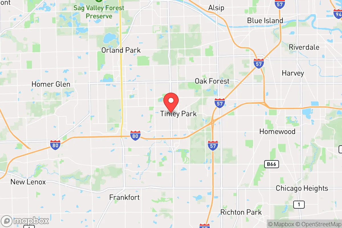
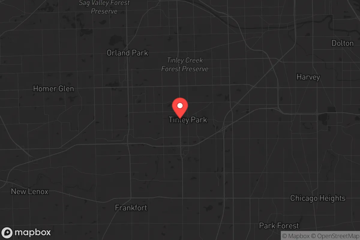
Strategic Assessment of Tinley Park, IL
Multiple tactical vulnerabilities. Population density, target proximity, or disaster risk are likely compounding. A retreat property and exit planning is required.
What does the Strategic Assessment tell us?
Our Strategic Assessment grades tactical survivability of an area. Major population centers, military targets, fallout zones, natural disasters, and border exposure all drive risk — lower exposure means a more defensible position in a crisis.
This is heavily inspired by Joel Skousen's Strategic Relocation book. Highly recommended you checkout the book ($)What does this tell us?
Our Strategic Assessment grades tactical survivability of an area. Major population centers, military targets, fallout zones, natural disasters, and border exposure all drive risk — lower exposure means a more defensible position in a crisis.
This is heavily inspired by Joel Skousen's Strategic Relocation book. Highly recommended you checkout the book ($)Strategic Pillars

Key Distances
Regional Safe Places
Below is our recommended "safe zones" in Illinois and the surrounding area based on our strategic heuristics. For most people, it's unrealistic to live in a “safe zone” full-time due to work, family or other personal reasons. They tend to be more rural. However, many of these areas are perfect for second homes and retreat properties that double as a vacation home or even a short-term rental.
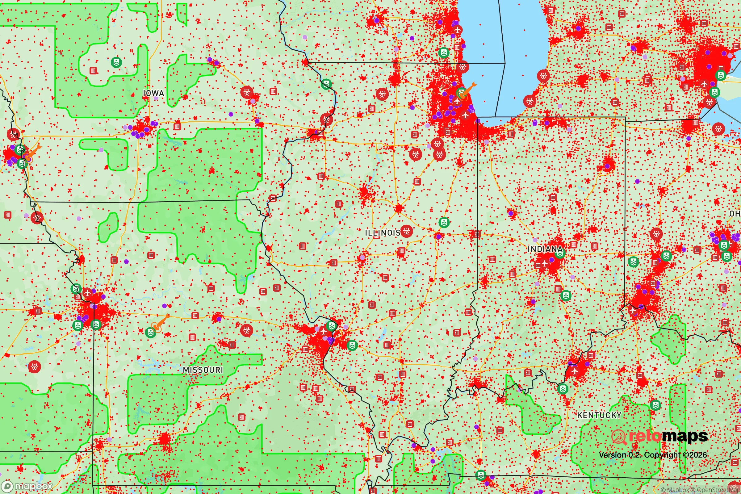
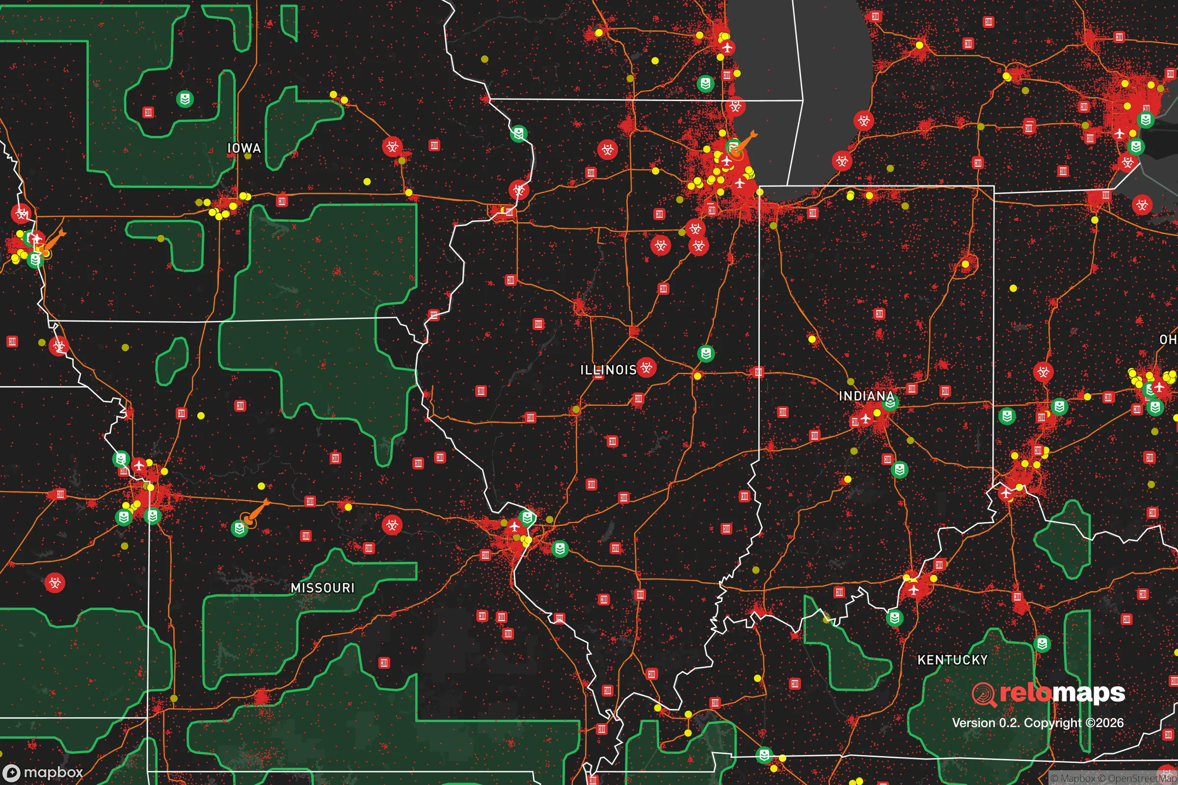
Important Note: For informational purposes only. This does not mean nothing bad ever happens in the green zones. Please use common sense. This is based on public data and modeled with AI. We tried to take a conservative approach but mistakes happen. We update this regularly as new information becomes available.
Solar Generator Recommendations
Backup power matters more here than in safer locations. We've picked three solar generators across budgets and capacity tiers — start with the budget unit if you only need a few essentials, or step up if you want to run a fridge and HVAC for days at a time.

Jackery Portable Power Station Explorer 300
Budget OptionPower on the Go: Weighing only 11 lbs, it's convenient to set up and store with book-sized foldable solar panels

BLUETTI Portable Power Station AC180
Designed for both indoor and outdoor scenarios, AC180 is highly capable as it has a robost capacity and continuous output power.

EF ECOFLOW DELTA Pro Ultra Power Station
Upgraded PickEcoFlow DELTA Pro Ultra is a whole-home energy system designed to grow with your family. Integrated with the Smart Home Panel 2, it scales to meet your evolving energy needs — keeping your home powered, intelligent, and secure through every stage of life.
We earn a commission, at no additional cost to you.
Strategic Assessment Analysis
Tinley Park, Illinois, sits in a precarious strategic position that demands careful consideration for anyone serious about long-term preparedness. Located roughly 30 miles southwest of Chicago, this village of about 56,000 residents offers a mix of suburban convenience and access to rural escape routes, but its proximity to a major metropolitan area introduces significant vulnerabilities. For the conservative-minded relocator weighing civic unrest, mass casualty events, or large-scale disasters, Tinley Park presents a trade-off: decent day-to-day livability with a resilience profile that requires active mitigation, not passive assumption of safety.
Geographic position and natural advantages for long-term survival
Tinley Park sits within the Chicago metropolitan area’s outer ring, which provides a buffer from the immediate chaos of the urban core while still being close enough to feel its gravitational pull. The village is bisected by Interstate 80 and lies near Interstate 57, offering two primary evacuation corridors heading south and west—toward less populated regions of Illinois and Indiana. The area’s flat terrain, part of the greater Illinois prairie, offers limited natural cover but good visibility, which can be an advantage for situational awareness. The Calumet River system and numerous forest preserves, including the 1,200-acre Tinley Creek Woods, provide some natural water sources and game habitat, though these are not wilderness refuges. The region’s four-season climate means winter preparedness is non-negotiable, with lake-effect snow and polar vortex events capable of stranding residents for days. For a relocator, the key natural advantage is the ability to reach true rural areas—like Kankakee County or the Shawnee National Forest—within a two-hour drive, making Tinley Park a potential staging ground rather than a final redoubt.
Risks, exposures, and proximity to fallout-relevant landmarks
The single greatest strategic liability of Tinley Park is its proximity to Chicago, a Tier 1 target for any large-scale civil unrest, terrorist attack, or geopolitical conflict. The village lies within 15 miles of the Argonne National Laboratory in Lemont, a major research facility that could be a secondary target or a source of hazardous material release. Additionally, the region is crisscrossed by rail lines carrying freight, including hazardous chemicals, and the nearby I-80 bridge over the Des Plaines River is a chokepoint that could be compromised in a disaster. Tinley Park itself has no major military installations, but the presence of the Tinley Park Mental Health Center (now largely abandoned) and the Hollywood Casino—both potential gathering points during unrest—adds local friction points. The village’s reliance on the Chicago water supply system, drawn from Lake Michigan, means a disruption to that infrastructure would leave residents without potable water within days. For the prepper, these exposures mean that Tinley Park is not a bug-out location but a bug-through location—a place to live while maintaining a plan to move further out if the situation deteriorates.
Practical resilience for a relocator: food, water, energy, and defensibility
For the individual or family looking to establish a resilient household in Tinley Park, the practical picture is mixed. The village’s suburban layout means most homes are on standard lots with limited space for large-scale gardening or livestock, though community gardens and backyard chicken coops are permitted with some restrictions. The local water supply is treated Lake Michigan water, so a minimum of two weeks of stored water per person is essential, along with a Berkey or similar filtration system for emergency use. Electricity comes from ComEd, with the grid vulnerable to both winter storms and summer heat waves; a whole-house generator or solar setup with battery storage is a wise investment, as power outages lasting 24-48 hours occur annually. Natural gas is widely available for heating and cooking, but a propane backup is recommended for grid-down scenarios. Defensibility is a challenge: Tinley Park is a typical suburban grid with multiple entry points, making it hard to secure a perimeter. However, the village has a strong police presence and a low violent crime rate (about 1.5 per 1,000 residents as of 2023), which reduces the risk of localized unrest. The best strategy is to choose a home on a cul-de-sac or near a forest preserve edge, providing a natural buffer and fewer approach vectors. For food, the area has multiple grocery chains, but a three-month supply of non-perishables is the baseline, as supply chain disruptions during the 2020 pandemic showed that shelves can empty within 48 hours. Local farmers’ markets and the nearby Mokena and New Lenox areas offer some direct-to-consumer food sources, but these are not reliable in a crisis.
From a strategic standpoint, Tinley Park is a viable option for the conservative relocator who values economic opportunity and community stability but understands the need for layered preparedness. It is not a survivalist paradise—it is a suburban compromise. The village’s location offers access to jobs, schools, and healthcare (including the Silver Cross Hospital in nearby New Lenox), but its proximity to Chicago and critical infrastructure nodes means that the prudent resident must have a plan for rapid evacuation or extended shelter-in-place. For the single individual or family willing to invest in water storage, backup power, and a well-stocked pantry, Tinley Park can serve as a defensible base of operations—provided they keep a bag packed and a route south memorized. The overall picture is one of cautious viability: live here, prepare here, but never mistake suburban comfort for true security. In a world where the unthinkable becomes routine, Tinley Park is a place to hold ground, not a place to make a last stand.
* Values derived from national, state, county, city and local statistics and may differ in a specific area. Last updated: 2026-04-19T11:40:09.000Z
Narrative content on this page is AI-generated and may contain mistakes. Verify any details that matter before acting on them.
ReloMaps may earn a commission from affiliate links at no extra cost to you.