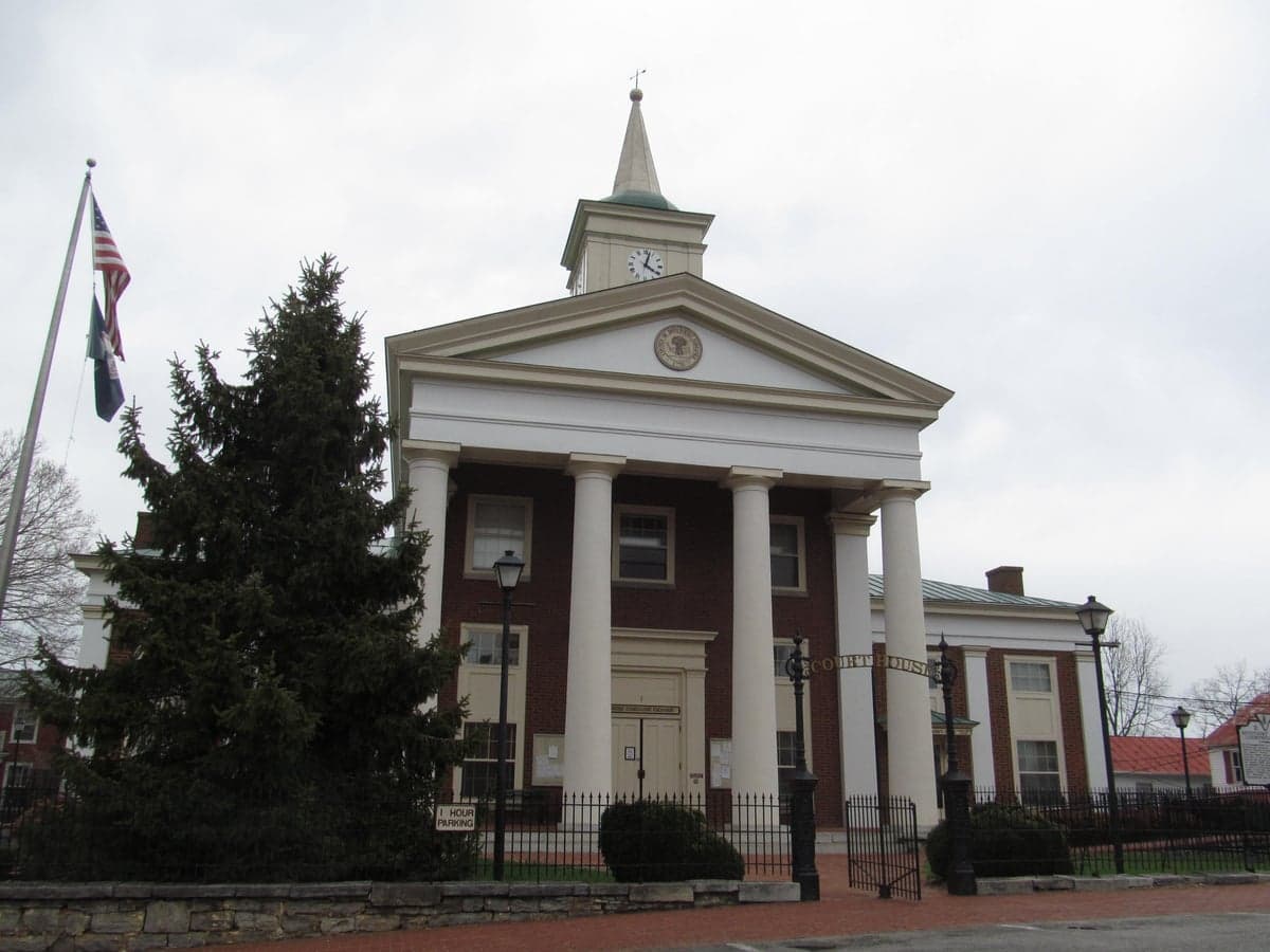
Photo: Wikipedia
Strategic Assessment of Botetourt County
Workable tactical position. Some exposure to population density or targets, but generally defensible in a crisis.
What does the Strategic Assessment tell us?
Our Strategic Assessment grades tactical survivability of an area. Major population centers, military targets, fallout zones, natural disasters, and border exposure all drive risk — lower exposure means a more defensible position in a crisis.
This is heavily inspired by Joel Skousen's Strategic Relocation book. Highly recommended you checkout the book ($)What does this tell us?
Our Strategic Assessment grades tactical survivability of an area. Major population centers, military targets, fallout zones, natural disasters, and border exposure all drive risk — lower exposure means a more defensible position in a crisis.
This is heavily inspired by Joel Skousen's Strategic Relocation book. Highly recommended you checkout the book ($)Strategic Pillars

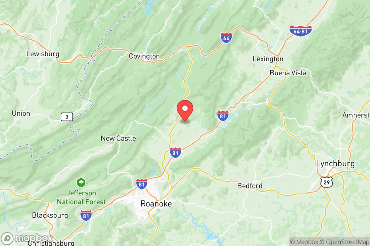
Key Distances
Strategic Assessment Analysis
Botetourt County, Virginia, offers a compelling strategic position for relocation-minded individuals and families who prioritize long-term resilience and self-sufficiency. Nestled in the Shenandoah Valley along the Blue Ridge Parkway, the county benefits from a combination of geographic isolation from major metropolitan fallout zones and robust local infrastructure that supports a grounded, prepared lifestyle. With a population of roughly 33,000 spread across communities like Fincastle, Troutville, and Buchanan, the area provides a buffer from the concentrated risks of larger cities while maintaining access to essential services and economic anchors like the nearby Roanoke-Blacksburg region. This balance of seclusion and connectivity makes Botetourt County a standout option for those assessing disaster readiness and sustainable living.
Geographic position and natural advantages for long-term stability
Botetourt County’s location in western Virginia places it in a sweet spot for resilience. The county is flanked by the Blue Ridge Mountains to the east and the Allegheny Mountains to the west, creating natural barriers that reduce exposure to coastal storm surges and hurricane-force winds common along the Atlantic seaboard. The area sits well inland—roughly 200 miles from the coast—which also minimizes risks from sea-level rise or tsunami events. The James River runs through the county, providing a reliable freshwater source, while the surrounding national forest lands (like the George Washington and Jefferson National Forests) offer abundant timber, wildlife, and foraging potential. For a relocator, this means access to natural resources that support off-grid living without the extreme isolation of more remote regions. The county’s elevation, averaging around 1,200 feet, also reduces the likelihood of severe flooding compared to low-lying areas, though localized flash flooding along the James River and its tributaries remains a consideration during heavy rain events.
Risks, exposures, and proximity to fallout-relevant landmarks
While Botetourt County avoids the highest-risk zones, it is not without exposures. The most significant man-made risk comes from its proximity to the Roanoke Valley, home to the Norfolk Southern rail yard and the Roanoke-Blacksburg Regional Airport, which handle hazardous materials and military cargo. The county itself hosts the Botetourt County Industrial Park near Troutville, which includes a major Amazon distribution center and a chemical storage facility for agricultural products—both potential targets for sabotage or accident in a crisis scenario. Additionally, the county lies about 90 miles from the Surry Nuclear Power Plant in Surry County, Virginia, and roughly 120 miles from the North Anna Nuclear Generating Station near Mineral. While these distances provide a buffer from immediate blast or radiation effects, prevailing wind patterns from the east could carry fallout into the Shenandoah Valley in a worst-case event. On the natural disaster front, the county sits in a moderate seismic zone—the 2011 Mineral earthquake (magnitude 5.8) was felt here but caused no structural damage. Tornado risk is low compared to the Midwest, but the mountainous terrain can produce sudden, localized microbursts. For a relocator, the key takeaway is that Botetourt County’s risks are manageable with basic preparedness—unlike coastal or urban areas, the threats here are more about supply chain disruptions than direct destruction.
Practical resilience for a relocator: food, water, energy, and defensibility
Botetourt County’s practical resilience is strong, especially for those willing to invest in self-sufficiency. The county’s agricultural base is robust, with over 1,200 farms covering roughly 40% of the land area, producing cattle, poultry, hay, and vegetables. Farmers’ markets in Fincastle and Troutville operate year-round, and the Botetourt County Cooperative Extension offers workshops on gardening, food preservation, and livestock management. Water availability is excellent: the James River provides a surface water source, and the county’s groundwater is generally clean and accessible via wells—though new well permits require testing for agricultural runoff. For energy, the county is served by Appalachian Power, but many rural properties already have backup generators or solar arrays due to occasional winter ice storms that knock out grid power. The Smith Mountain Lake hydroelectric plant, about 30 miles south, adds a regional energy buffer. Defensibility is a standout feature: the mountainous terrain creates natural chokepoints along the major routes—Interstate 81 and U.S. Route 220—which could be monitored or controlled in a crisis. The county’s low population density (roughly 70 people per square mile) means fewer competition points for resources, and the strong local community networks (like the Botetourt County Emergency Management and volunteer fire departments) provide a social safety net. For a relocator, the practical takeaway is that Botetourt County offers a foundation for self-reliance without requiring extreme off-grid skills—just a willingness to prepare.
Overall, Botetourt County presents a balanced strategic picture for the resilience-minded relocator. It avoids the high-risk exposure of coastal or urban areas while offering natural resources, defensible terrain, and a supportive community infrastructure. The primary trade-offs are the manageable risks from nearby industrial and transportation corridors and the need for basic preparedness against winter storms and localized flooding. For families and individuals seeking a location that combines seclusion with accessibility—and a culture that values self-sufficiency—Botetourt County stands as a strong, grounded choice in the mid-Atlantic region.

* Values derived from national, state, county, city and local statistics and may differ in a specific area. Last updated: 2026-10-15T02:07:26.000Z
Narrative content on this page is AI-generated and may contain mistakes. Verify any details that matter before acting on them.
ReloMaps may earn a commission from affiliate links at no extra cost to you.

