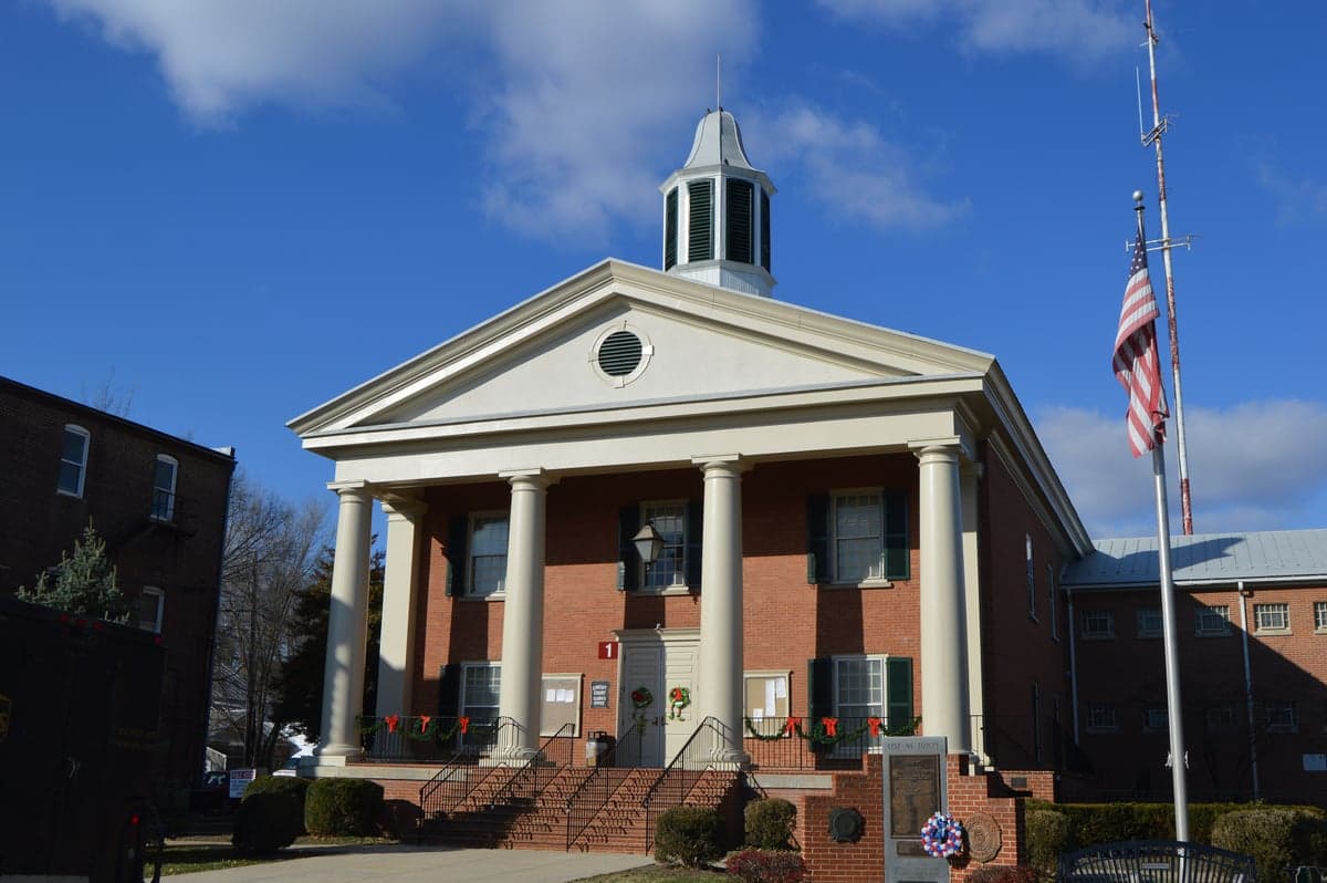
Photo: Wikipedia
Strategic Assessment of Shenandoah County
Workable tactical position. Some exposure to population density or targets, but generally defensible in a crisis.
What does the Strategic Assessment tell us?
Our Strategic Assessment grades tactical survivability of an area. Major population centers, military targets, fallout zones, natural disasters, and border exposure all drive risk — lower exposure means a more defensible position in a crisis.
This is heavily inspired by Joel Skousen's Strategic Relocation book. Highly recommended you checkout the book ($)What does this tell us?
Our Strategic Assessment grades tactical survivability of an area. Major population centers, military targets, fallout zones, natural disasters, and border exposure all drive risk — lower exposure means a more defensible position in a crisis.
This is heavily inspired by Joel Skousen's Strategic Relocation book. Highly recommended you checkout the book ($)Strategic Pillars

Key Distances
Strategic Assessment Analysis
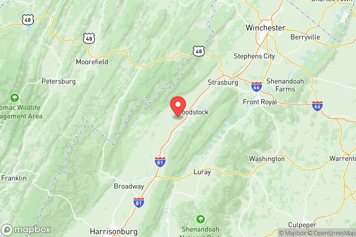
Shenandoah County, Virginia, offers a compelling mix of strategic depth and everyday livability for those prioritizing resilience and self-sufficiency. Its position in the northern Shenandoah Valley, roughly 90 miles west of Washington, D.C., and 70 miles northwest of Richmond, places it outside the immediate blast and fallout zones of major metropolitan targets while still providing access to urban resources when needed. The county’s backbone is Interstate 81, which runs north-south through towns like Woodstock, Edinburg, and Mount Jackson, but the area’s real strength lies in its natural barriers—the Massanutten Mountain range splits the valley, creating multiple defensible micro-valleys and limiting line-of-sight threats. For a relocator thinking seriously about long-term preparedness, this is a location that balances remoteness with practical connectivity.
Geographic position and natural advantages for long-term security
Shenandoah County sits in a natural fortress. The Blue Ridge Mountains to the east and the Allegheny Mountains to the west form a protected corridor, while the North Fork of the Shenandoah River provides a reliable freshwater source running through the county’s heart. The terrain is rolling farmland and forested ridges, with elevations ranging from 600 feet in the river valleys to over 3,000 feet on the mountain crests. This topography offers natural cover and multiple escape routes into the George Washington National Forest, which borders the county’s western edge. The area’s agricultural base is significant—Shenandoah County has over 1,200 farms covering roughly 40% of its land area, producing cattle, poultry, hay, and grains. For a relocator, this means local food production is not theoretical; it’s an existing economic reality. The county’s population density is low at about 80 people per square mile, with the largest town, Woodstock (population ~5,200), serving as the county seat. This spread-out settlement pattern reduces the risks of disease transmission and resource competition during disruptions.
Risks, exposures, and proximity to fallout-relevant landmarks
While Shenandoah County avoids the worst of urban-target risks, it is not immune to man-made threats. The most significant nearby vulnerability is the North Anna Nuclear Generating Station, located about 70 miles southeast in Louisa County. A major incident there could send fallout up the Shenandoah Valley depending on wind patterns, though the prevailing winds typically blow eastward. More immediate is the county’s position along I-81, a major trucking corridor that carries hazardous materials daily. A derailment or tanker incident in the narrow valley near Edinburg or Mount Jackson could temporarily block evacuation routes or contaminate local water supplies. The county is also within 100 miles of several military installations: Fort Barfoot (formerly Fort Pickett) to the south, and the Pentagon and Joint Base Andrews to the northeast. While these are not primary targets in a major conflict, their proximity means Shenandoah County could see refugee flows or military traffic. Natural risks are moderate—the area lies in a seismic zone that produces small quakes (the 2011 Mineral earthquake was felt here), and flash flooding along the Shenandoah River and its tributaries is a recurring issue, particularly in low-lying areas around Woodstock and Strasburg. The county’s wildfire risk is low but not zero, especially during dry summers in the national forest.
Practical resilience for a relocator: food, water, energy, and defensibility
For someone serious about self-sufficiency, Shenandoah County delivers on the basics. Water is abundant—the North Fork of the Shenandoah River flows year-round, and groundwater is accessible via wells across most of the county. Municipal water systems serve Woodstock, Edinburg, and Mount Jackson, but rural properties typically have private wells with depths of 100-300 feet. Food security is strong due to the local agricultural economy. The Shenandoah Valley is one of Virginia’s breadbaskets, with multiple farm stands, CSAs, and the Shenandoah Farmers Market in Woodstock operating seasonally. For long-term storage, the area’s moderate climate (average highs in the 80s in summer, lows in the 20s in winter) allows for root cellaring and cold storage without extreme temperature swings. Energy resilience is mixed. The county is served by Shenandoah Valley Electric Cooperative, which has a decent reliability record, but rural areas can experience outages during winter storms or summer thunderstorms. Solar potential is good—the valley receives about 200 sunny days per year, and many rural homes already have backup generators or wood stoves. Firewood is plentiful from the national forest and private woodlots. Defensibility is the county’s standout feature. The Massanutten Mountain range splits the valley into two distinct corridors, and the numerous hollows and side valleys (like those near Fort Valley or along Stony Creek) offer natural choke points and concealment. The county’s road network is sparse enough that a few key bridges over the Shenandoah River could be monitored or controlled. For a family or small group, a property on a ridge or in a side valley with a well, garden space, and a woodlot provides a highly defensible setup. The local culture is independent-minded—hunting, fishing, and gardening are common skills, and the county has a strong volunteer fire and rescue tradition.
The overall strategic picture for Shenandoah County is one of balanced preparedness. It avoids the extreme risks of coastal or urban areas while maintaining enough infrastructure to support a modern lifestyle. The county’s location along I-81 is both an asset and a liability—it provides access to supplies and medical care in Harrisonburg (20 miles south) or Winchester (30 miles north), but it also makes the area a potential evacuation corridor during a crisis. For a relocator with a conservative, self-reliant mindset, the key is to choose a property away from the main highway and river floodplains, ideally in the western part of the county near the national forest or in the eastern foothills of Massanutten. The local economy is stable, with agriculture, manufacturing (including the Cargill meat processing plant in Timberville), and tourism (Shenandoah National Park and the caverns) providing jobs. Property taxes are low by Northern Virginia standards, and the county has a strong sense of community. In short, Shenandoah County offers a realistic, grounded option for those who want to be prepared without living off-grid—a place where resilience is built into the landscape and the culture, not just the emergency kit.

* Values derived from national, state, county, city and local statistics and may differ in a specific area. Last updated: 2026-10-02T02:35:38.000Z
Narrative content on this page is AI-generated and may contain mistakes. Verify any details that matter before acting on them.
ReloMaps may earn a commission from affiliate links at no extra cost to you.

