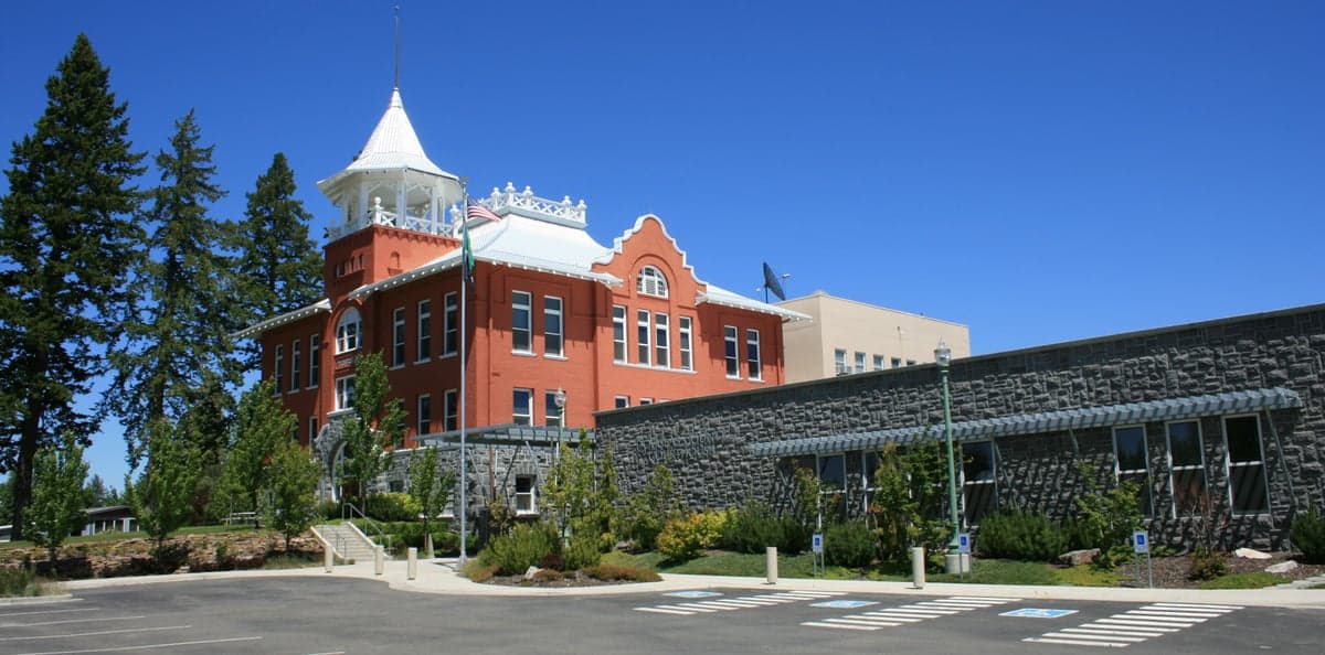
Photo: Wikipedia
Strategic Assessment of Douglas County
Strong survivability profile. Good buffer from population centers, with manageable environmental and tactical risks.
What does the Strategic Assessment tell us?
Our Strategic Assessment grades tactical survivability of an area. Major population centers, military targets, fallout zones, natural disasters, and border exposure all drive risk — lower exposure means a more defensible position in a crisis.
This is heavily inspired by Joel Skousen's Strategic Relocation book. Highly recommended you checkout the book ($)What does this tell us?
Our Strategic Assessment grades tactical survivability of an area. Major population centers, military targets, fallout zones, natural disasters, and border exposure all drive risk — lower exposure means a more defensible position in a crisis.
This is heavily inspired by Joel Skousen's Strategic Relocation book. Highly recommended you checkout the book ($)Strategic Pillars

Key Distances
Strategic Assessment Analysis
Douglas County, Washington, offers a compelling strategic position for relocators prioritizing resilience and self-sufficiency, balancing the isolation of the interior Pacific Northwest with practical access to essential infrastructure. The county’s location east of the Cascade Range, centered on the Columbia River, provides a distinct set of geographic advantages that separate it from the more densely populated and politically volatile western side of the state. For a reader thinking seriously about disaster readiness, Douglas County presents a defensible, resource-rich environment with manageable exposure to major man-made and natural threats, though it is not without its own specific risks.
Geographic position and natural advantages for long-term stability
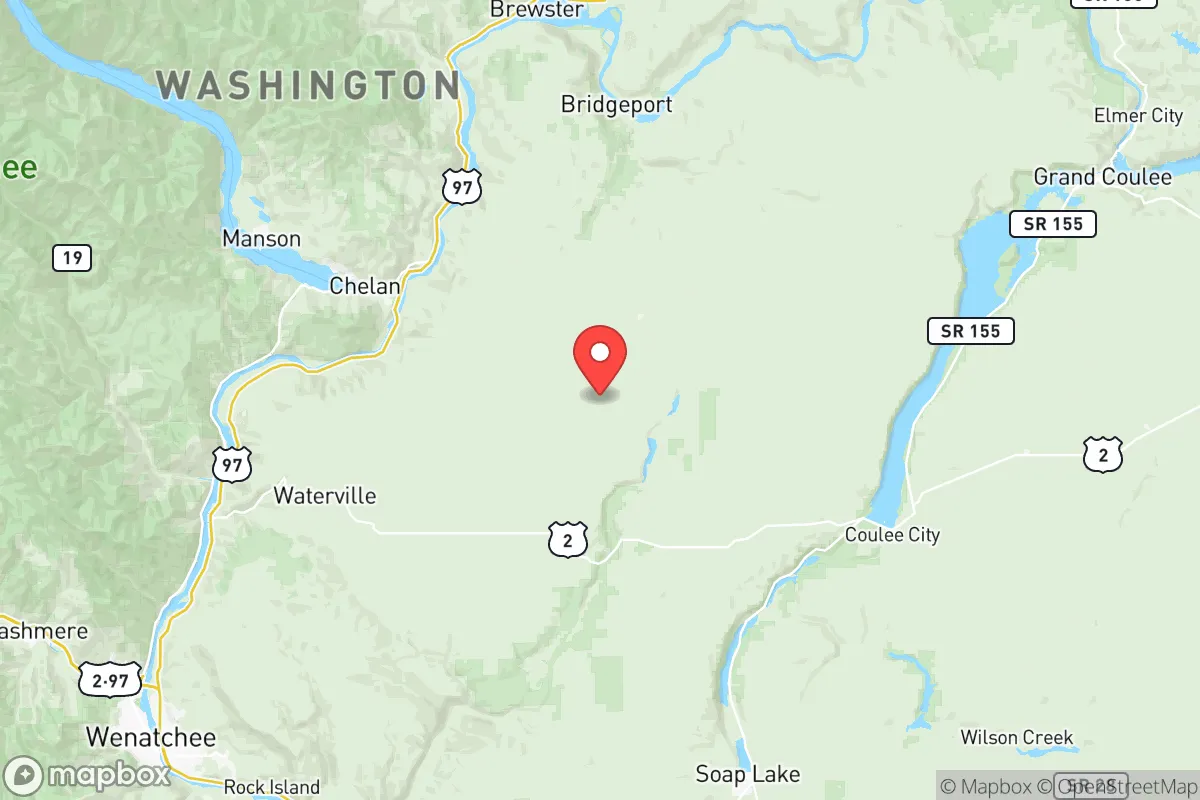
Douglas County’s defining feature is its position in the rain shadow of the Cascade Range, which creates a semi-arid climate with significantly less precipitation than Seattle or Portland. This translates to lower wildfire risk than the heavily forested western slopes, fewer flood-prone areas, and more predictable agricultural conditions. The county is anchored by the Columbia River, which forms its southern border and provides a reliable water source, while the smaller Wenatchee River flows through the northern portion. The terrain is a mix of sagebrush steppe, rolling hills, and irrigated farmland, offering natural defensibility through open sightlines and limited choke points. The county seat, Waterville, sits atop a plateau at roughly 2,600 feet, providing a commanding view of the surrounding basin. The largest city, East Wenatchee, lies directly across the Columbia from Wenatchee (Chelan County), creating a regional hub of about 35,000 people. This dual-city arrangement means residents have access to hospitals, grocery stores, and hardware suppliers within a 15-minute drive, while still being far enough from major metropolitan areas like Seattle (150 miles west) and Spokane (130 miles east) to avoid the immediate fallout of a major urban disruption. The area’s agricultural base—apples, cherries, wheat, and alfalfa—is a tangible resilience asset, with local farms and processing facilities providing a food supply that does not depend on long-distance trucking.
Risks, exposures, and proximity to fallout-relevant landmarks
Douglas County’s risk profile is moderate compared to coastal or metropolitan areas, but it is not immune to natural and man-made hazards. The primary natural threat is earthquakes from the Entiat Fault zone, which runs through the region and has produced magnitude 6-7 events historically. While a major Cascadia subduction zone quake would be felt less severely here than in western Washington, a local fault rupture could damage infrastructure, particularly bridges crossing the Columbia River. The county’s two main river crossings—the Senator George Sellar Bridge (US 2) and the Richard Odabashian Bridge (SR 285)—are critical chokepoints; a failure would isolate East Wenatchee from Wenatchee’s hospital and supply chain. Wildfire risk is present but concentrated in the shrub-steppe and canyon areas, with the 2014 Carlton Complex fire (the largest in state history at the time) burning parts of neighboring Okanogan County but sparing Douglas County’s population centers. Man-made risks are limited. The nearest significant industrial or military target is the Hanford Site, a decommissioned nuclear production facility located about 60 miles south in Benton County. Hanford’s waste storage tanks and ongoing cleanup operations present a low-probability, high-consequence hazard: a major accident or terrorist event could release radioactive material, but prevailing winds typically blow south or southwest, away from Douglas County. The closest active military installation is Joint Base Lewis-McChord near Tacoma, roughly 170 miles southwest—far enough to be irrelevant for immediate fallout. No major oil refineries, chemical plants, or ports exist within the county. The biggest practical risk for a relocator is the area’s dependence on a single major highway corridor (US 2 over Stevens Pass) for access to western Washington, which is prone to avalanche closures in winter and could be cut off in a crisis.
Practical resilience for a relocator: food, water, energy, and defensibility
For a family or individual serious about self-sufficiency, Douglas County scores well on the fundamentals. Water is the strongest asset: the Columbia River provides an essentially unlimited surface water source, and groundwater in the basin is generally abundant and of good quality. Irrigated agriculture is widespread, meaning that even in a drought, water rights and infrastructure are already in place. For off-grid setups, wells typically run 100-300 feet deep, with yields of 10-30 gallons per minute in most areas. Food resilience is high due to the local agricultural economy. The Wenatchee Valley is one of the nation’s top apple-producing regions, and Douglas County itself has dozens of fruit packing warehouses, cold storage facilities, and processing plants. In a supply chain disruption, residents could access fresh produce directly from orchards and farmers markets, particularly in the towns of Bridgeport and Mansfield, which are surrounded by farmland. Energy infrastructure is stable but centralized. The county is served by the Douglas County PUD, which provides electricity from the Columbia River dams (Wells Dam and Rocky Reach Dam are just upstream). This hydroelectric power is reliable and low-cost, but a major earthquake or grid failure could disrupt distribution. Solar potential is excellent—the region averages over 300 sunny days per year—making rooftop solar with battery storage a viable backup. Natural gas is available in East Wenatchee and Rock Island, but propane is common in rural areas. Defensibility is a mixed picture. The open terrain around Waterville and Mansfield offers good visibility and limited approach routes, but the valley floor around East Wenatchee is more exposed, with multiple access points from US 2, SR 28, and SR 285. A relocator seeking true isolation would look to the smaller communities like Orondo or Palisades, where properties are spaced out and road access is limited. The county’s population density is low—about 25 people per square mile overall—which reduces competition for resources in a crisis. Crime rates are well below national averages, with property crime being the most common issue, and violent crime is rare. The local sheriff’s office is responsive, but response times in remote areas can exceed 30 minutes.
Overall, Douglas County represents a strong strategic choice for a relocator who wants a balance of resource security and moderate risk. It avoids the high-density vulnerabilities of Seattle or Portland, the industrial hazards of the I-5 corridor, and the seismic exposure of the coast, while retaining access to fresh water, local food production, and renewable energy. The main trade-offs are the reliance on a few key bridges and highways, the distant but real Hanford risk, and the need to prepare for winter isolation if Stevens Pass closes. For a family willing to invest in a well, solar panels, and a propane backup, this area offers a defensible, self-sufficient lifestyle with a supportive rural community and a government that is generally pro-property rights and low-regulation. It is not a bunker—but it is a solid, livable base for long-term resilience.

* Values derived from national, state, county, city and local statistics and may differ in a specific area. Last updated: 2026-08-22T22:15:00.000Z
Narrative content on this page is AI-generated and may contain mistakes. Verify any details that matter before acting on them.
ReloMaps may earn a commission from affiliate links at no extra cost to you.

