Photo: Wikipedia
Strategic Assessment of Waynesboro, VA
Workable tactical position. Some exposure to population density or targets, but generally defensible in a crisis.
What does the Strategic Assessment tell us?
Our Strategic Assessment grades tactical survivability of an area. Major population centers, military targets, fallout zones, natural disasters, and border exposure all drive risk — lower exposure means a more defensible position in a crisis.
This is heavily inspired by Joel Skousen's Strategic Relocation book. Highly recommended you checkout the book ($)What does this tell us?
Our Strategic Assessment grades tactical survivability of an area. Major population centers, military targets, fallout zones, natural disasters, and border exposure all drive risk — lower exposure means a more defensible position in a crisis.
This is heavily inspired by Joel Skousen's Strategic Relocation book. Highly recommended you checkout the book ($)Strategic Pillars

Key Distances
Regional Safe Places
Below is our recommended "safe zones" in Virginia and the surrounding area based on our strategic heuristics. For most people, it's unrealistic to live in a “safe zone” full-time due to work, family or other personal reasons. They tend to be more rural. However, many of these areas are perfect for second homes and retreat properties that double as a vacation home or even a short-term rental.


Important Note: For informational purposes only. This does not mean nothing bad ever happens in the green zones. Please use common sense. This is based on public data and modeled with AI. We tried to take a conservative approach but mistakes happen. We update this regularly as new information becomes available.
Solar Generator Recommendations
Backup power matters more here than in safer locations. We've picked three solar generators across budgets and capacity tiers — start with the budget unit if you only need a few essentials, or step up if you want to run a fridge and HVAC for days at a time.

Jackery Portable Power Station Explorer 300
Budget OptionPower on the Go: Weighing only 11 lbs, it's convenient to set up and store with book-sized foldable solar panels

BLUETTI Portable Power Station AC180
Designed for both indoor and outdoor scenarios, AC180 is highly capable as it has a robost capacity and continuous output power.

EF ECOFLOW DELTA Pro Ultra Power Station
Upgraded PickEcoFlow DELTA Pro Ultra is a whole-home energy system designed to grow with your family. Integrated with the Smart Home Panel 2, it scales to meet your evolving energy needs — keeping your home powered, intelligent, and secure through every stage of life.
We earn a commission, at no additional cost to you.
Strategic Assessment Analysis
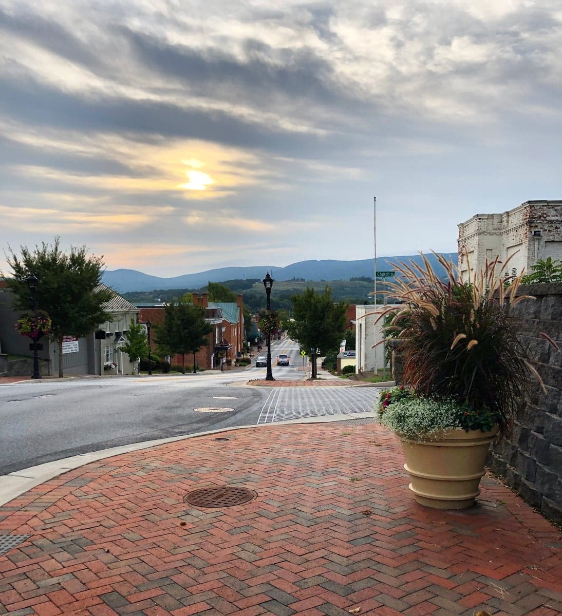
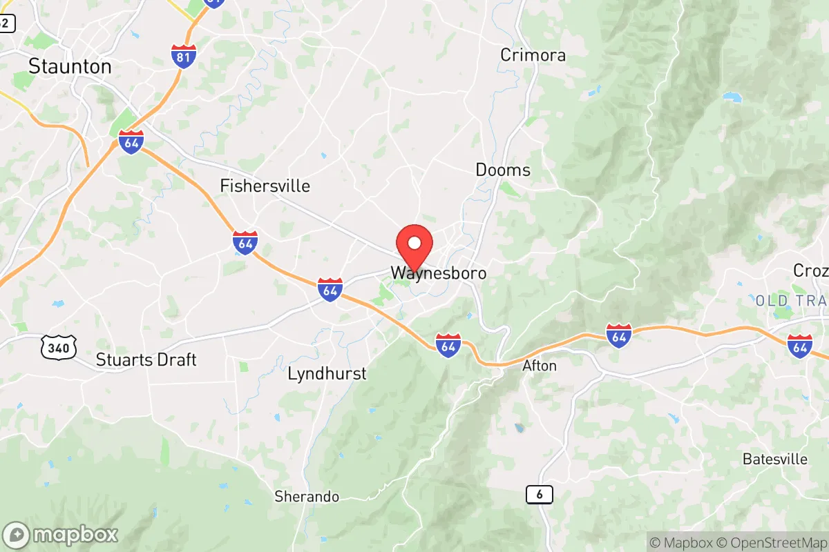
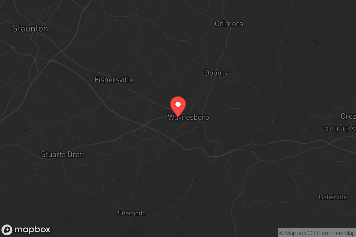
Waynesboro, Virginia, offers a compelling strategic position for those prioritizing resilience and self-sufficiency, sitting at the crossroads of the Shenandoah Valley and the Blue Ridge Mountains. Its location along the South River and at the base of the Blue Ridge Parkway provides natural barriers and escape routes, while its distance from major metropolitan centers like Washington D.C. (roughly 150 miles) and Richmond (about 100 miles) reduces exposure to the immediate fallout of a major urban crisis. The city’s population of roughly 22,000, combined with its status as a regional manufacturing and logistics hub, gives it a small-town feel with enough local infrastructure to support a post-disruption recovery scenario.
Geographic position and natural advantages for long-term survival
Waynesboro’s geography is its strongest asset for a prepper or survivalist. The city is nestled in a valley corridor between the Blue Ridge Mountains to the east and the Allegheny Mountains to the west, creating a natural funnel that channels movement and resources. The South River, a tributary of the Shenandoah, runs through town, providing a reliable freshwater source—critical for any extended grid-down scenario. The surrounding George Washington National Forest and Shenandoah National Park offer vast tracts of undeveloped land for hunting, foraging, and potential retreat locations. The Blue Ridge Parkway and Skyline Drive provide high-ground routes that can be used for observation or escape, though they are also choke points that could be monitored. The area’s moderate climate—with average highs in the 80s in summer and lows in the 20s in winter—reduces the risk of extreme weather events that could compound a crisis, though winter storms can occasionally isolate the valley for a day or two.
Risks, exposures, and proximity to fallout-relevant landmarks
While Waynesboro avoids the direct blast radius of a major city, it is not without strategic vulnerabilities. The city lies within 30 miles of the North Anna Nuclear Generating Station in Mineral, Virginia—a pressurized water reactor that, in a worst-case scenario, could produce a fallout plume affecting the Shenandoah Valley depending on wind patterns. Additionally, the Interstate 81 corridor runs just west of Waynesboro, a major north-south trucking route that would become a chokepoint for refugees fleeing the D.C. metro area in a crisis. The nearby Blue Ridge Tunnel and Rockfish Gap are natural pinch points that could be contested or blocked. On the positive side, the area lacks major military installations, chemical plants, or large-scale industrial targets that would draw a first strike or secondary disaster. The closest significant military presence is the Virginia National Guard’s Fort Barfoot (formerly Fort Pickett) about 90 miles south, which is far enough to avoid direct attention but close enough to potentially provide security assets in a regional emergency.
Practical resilience for a relocator: food, water, energy, and defensibility
For a relocator focused on practical self-sufficiency, Waynesboro offers a mix of advantages and challenges. Water security is strong: the South River is supplemented by numerous springs and wells in the surrounding hills, and the city’s municipal water system draws from the river and groundwater. However, a prolonged grid failure would require filtration or boiling, as the treatment plant could go offline. Food production is viable: the Shenandoah Valley is one of Virginia’s most productive agricultural regions, with local farms producing corn, soybeans, hay, and livestock. The Waynesboro Farmers Market operates year-round, and the city’s zoning allows for backyard chickens and small gardens in most residential areas. Larger plots for homesteading are available in the surrounding Augusta County, where land prices remain relatively affordable compared to Northern Virginia. Energy resilience is mixed: the area is served by Dominion Energy, with a mix of coal, natural gas, and nuclear power. Solar potential is moderate—the valley gets about 200 sunny days per year—but the mountainous terrain can create shading issues. Wood heating is a practical backup, with ample firewood available from national forests (with proper permits). Defensibility is the weakest link: Waynesboro is a valley town with multiple entry points via I-64, US-250, and US-340. A determined group could seal off the main routes, but the surrounding mountains offer numerous secondary trails and logging roads for those who know the terrain. The local Waynesboro Police Department and Augusta County Sheriff’s Office are professional but small—about 40 officers for the city—meaning that in a widespread collapse, residents would largely rely on mutual aid networks and personal preparedness.
The overall strategic picture for Waynesboro is one of moderate resilience with specific trade-offs. It avoids the worst fallout risks of the D.C. metro or Richmond, while still being close enough to access medical resources at Augusta Health (the regional hospital) and supply chains via I-64. The natural barriers of the Blue Ridge provide a buffer, but the valley’s openness means it could become a transit corridor for displaced populations. For a single individual or family willing to invest in water filtration, solar backup, and a defensible property on the outskirts, Waynesboro offers a solid base of operations. The key is to avoid the downtown core and the I-81 corridor, focusing instead on the rural fringes toward the mountains. In a worst-case scenario, the ability to retreat into the national forest or link up with like-minded groups in the broader Shenandoah Valley makes this a viable long-term relocation option for those who prioritize preparedness over convenience.
* Values derived from national, state, county, city and local statistics and may differ in a specific area. Last updated: 2026-05-01T13:13:16.000Z
Narrative content on this page is AI-generated and may contain mistakes. Verify any details that matter before acting on them.
ReloMaps may earn a commission from affiliate links at no extra cost to you.