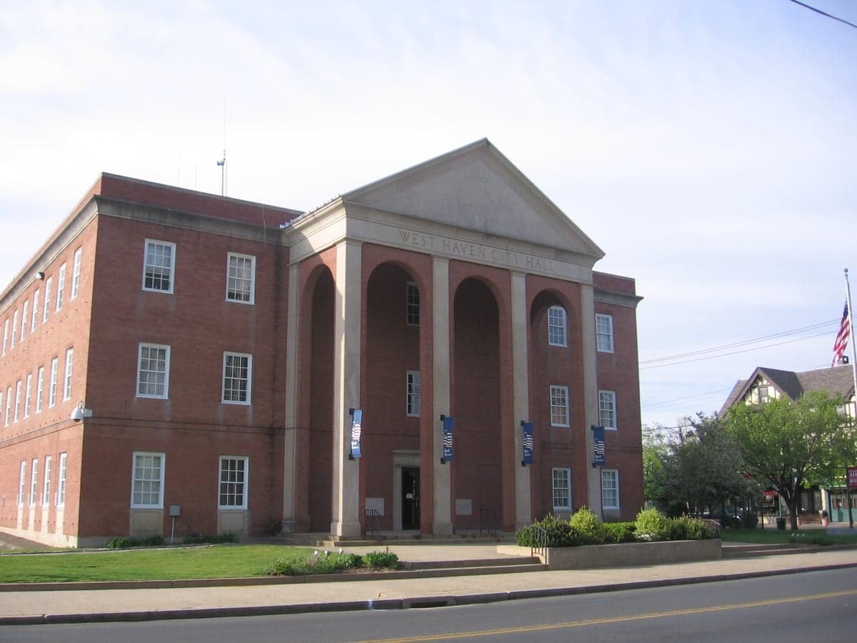
Photo: Wikipedia
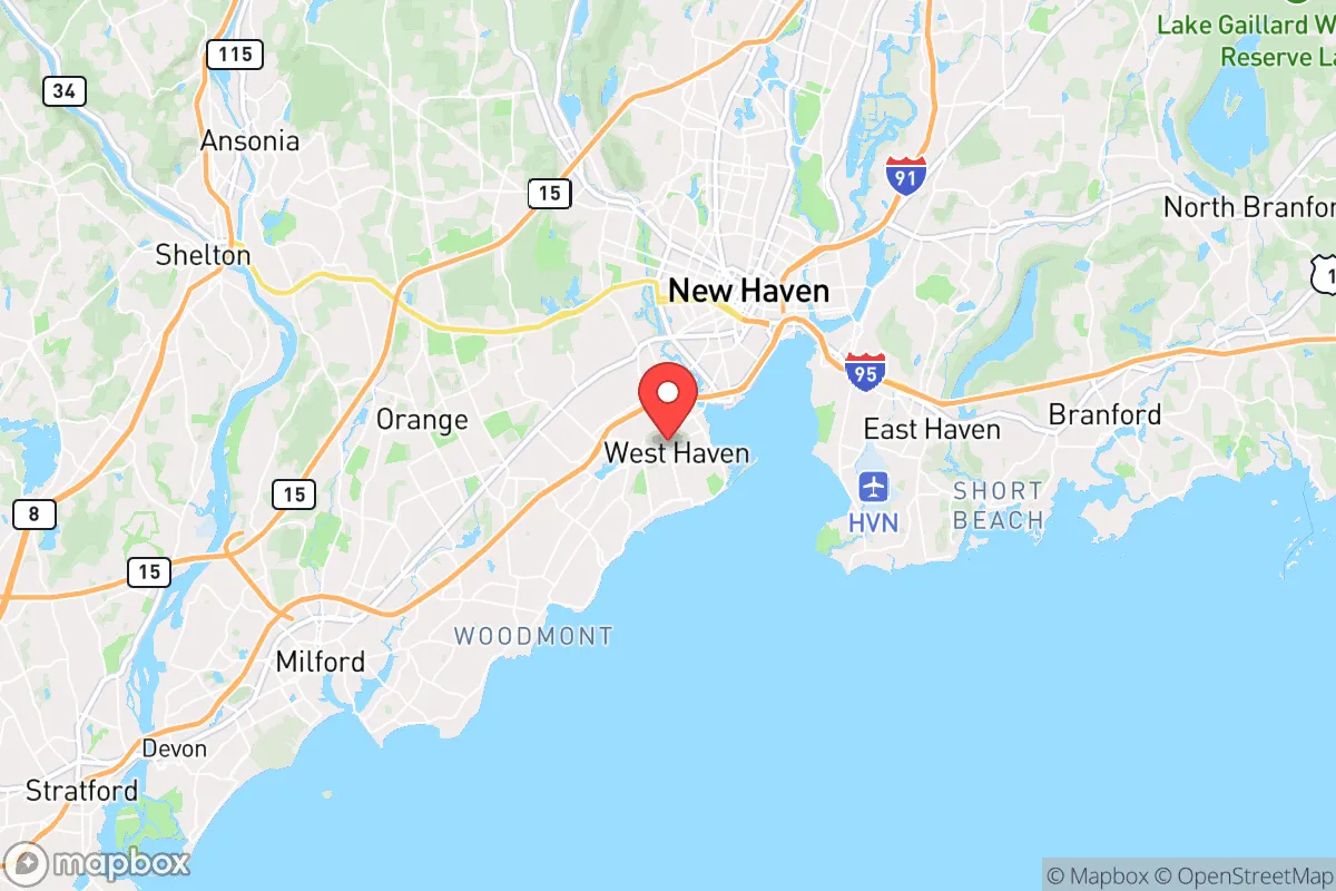
Strategic Assessment of West Haven, CT
Multiple tactical vulnerabilities. Population density, target proximity, or disaster risk are likely compounding. A retreat property and exit planning is required.
What does the Strategic Assessment tell us?
Our Strategic Assessment grades tactical survivability of an area. Major population centers, military targets, fallout zones, natural disasters, and border exposure all drive risk — lower exposure means a more defensible position in a crisis.
This is heavily inspired by Joel Skousen's Strategic Relocation book. Highly recommended you checkout the book ($)What does this tell us?
Our Strategic Assessment grades tactical survivability of an area. Major population centers, military targets, fallout zones, natural disasters, and border exposure all drive risk — lower exposure means a more defensible position in a crisis.
This is heavily inspired by Joel Skousen's Strategic Relocation book. Highly recommended you checkout the book ($)Strategic Pillars

Key Distances
Regional Safe Places
Below is our recommended "safe zones" in Connecticut and the surrounding area based on our strategic heuristics. For most people, it's unrealistic to live in a “safe zone” full-time due to work, family or other personal reasons. They tend to be more rural. However, many of these areas are perfect for second homes and retreat properties that double as a vacation home or even a short-term rental.


Important Note: For informational purposes only. This does not mean nothing bad ever happens in the green zones. Please use common sense. This is based on public data and modeled with AI. We tried to take a conservative approach but mistakes happen. We update this regularly as new information becomes available.
Solar Generator Recommendations
Backup power matters more here than in safer locations. We've picked three solar generators across budgets and capacity tiers — start with the budget unit if you only need a few essentials, or step up if you want to run a fridge and HVAC for days at a time.

Jackery Portable Power Station Explorer 300
Budget OptionPower on the Go: Weighing only 11 lbs, it's convenient to set up and store with book-sized foldable solar panels

BLUETTI Portable Power Station AC180
Designed for both indoor and outdoor scenarios, AC180 is highly capable as it has a robost capacity and continuous output power.

EF ECOFLOW DELTA Pro Ultra Power Station
Upgraded PickEcoFlow DELTA Pro Ultra is a whole-home energy system designed to grow with your family. Integrated with the Smart Home Panel 2, it scales to meet your evolving energy needs — keeping your home powered, intelligent, and secure through every stage of life.
We earn a commission, at no additional cost to you.
Strategic Assessment Analysis
West Haven, Connecticut, sits in a precarious strategic position that demands a clear-eyed assessment for anyone serious about long-term resilience. While its location on Long Island Sound offers certain logistical advantages, the city’s proximity to New York City, New Haven, and several high-value military and industrial targets introduces significant vulnerabilities that a prepper or survivalist cannot ignore. The area’s resilience is a mixed bag—strong in terms of immediate natural resources, but weak in terms of isolation and exposure to fallout from both civil unrest and potential kinetic events.
Geographic position and natural advantages for a strategic relocation
West Haven’s geography is defined by its 3.5-mile coastline along the Sound, which provides direct access to maritime resources and a potential evacuation route by water if roadways become compromised. The city sits on a relatively flat coastal plain, with the West River forming its eastern boundary and the Oyster River cutting through the southern end. These waterways, while not major, offer fishing, crabbing, and a source of fresh water if properly treated. The area’s proximity to the Housatonic River, about 10 miles west, and the Quinnipiac River, about 5 miles east, expands the potential for off-grid water collection and small-scale aquaculture. The terrain lacks significant elevation—the highest point is barely 50 feet above sea level—which means no natural high ground for observation or defense, but also no steep chokepoints that could trap you. The coastal marshes and tidal wetlands, particularly around Sandy Point and the West Haven Nature Trail, provide cover and natural barriers against overland approach, though they also limit buildable space. The climate is temperate, with an average of 200 sunny days per year, allowing for year-round gardening in raised beds or greenhouses, but the humid summers and nor’easters in winter can stress infrastructure. The city’s position between New Haven (5 miles north) and Bridgeport (12 miles west) places it in a densely populated corridor—over 1.5 million people within a 20-mile radius—which is a double-edged sword: you have access to resources, but you’re also in the blast radius of any major event affecting those urban centers.
Risks, exposures, and proximity to fallout-relevant landmarks
The most glaring risk for West Haven is its proximity to multiple high-value targets that would be primary or secondary objectives in any large-scale conflict or terrorist attack. New Haven is home to Yale University, a Tier-1 research institution with ties to defense and biotech—a likely target for cyber or physical attack. The Port of New Haven, just east of West Haven, handles petroleum, chemicals, and heavy machinery, making it a potential flashpoint for industrial accidents or sabotage. Bridgeport’s port and Sikorsky Aircraft (a major helicopter manufacturer) are within 15 miles, both of which are strategic assets that could draw fire. The Millstone Nuclear Power Plant in Waterford, about 30 miles east, is a Category A target; while West Haven is outside the immediate blast zone, prevailing winds from the west could carry fallout toward the city in a worst-case scenario. The I-95 corridor, which runs directly through West Haven, is a critical east-west artery that would become a chokepoint during an evacuation—expect gridlock and potential ambush points. The city’s own infrastructure is aging: the water treatment plant on the West River and the electrical substations along the coast are vulnerable to storm surge and sabotage. Crime data from 2024 shows West Haven’s violent crime rate at 3.2 per 1,000 residents, slightly above the national average, with property crime at 18.5 per 1,000—indicating a baseline instability that could spike during civil unrest. The city’s population density of 5,200 people per square mile means that any localized event—a chemical spill, a power outage, a riot—will cascade quickly through the community. For a relocator, the key takeaway is that West Haven is not a bug-out location; it’s a place where you’d need to be prepared to shelter in place or evacuate by water within the first 24 hours of a major event.
Practical resilience for a relocator: food, water, energy, and defensibility
For the individual or family looking to build a resilient setup in West Haven, the practical challenges are significant but not insurmountable. Water is the most immediate concern: the city’s municipal supply comes from the New Haven Regional Water Authority, which draws from the Lake Whitney and Maltby Lakes reservoirs—both of which are within 10 miles and could be contaminated or disrupted. A well is not an option for most properties due to the coastal water table and saltwater intrusion; you’ll need to rely on rainwater catchment (average 45 inches per year) and stored water. A 500-gallon cistern paired with a Berkey or similar gravity filter is a minimum. Food production is viable but limited: the growing season runs from April to October, and the sandy, loamy soil in the southern part of the city is decent for root vegetables and greens, but you’ll need raised beds or containers to avoid salt buildup near the coast. Community gardens exist at the West Haven Community Garden on Elm Street, but they’re not secure for long-term survival. For protein, the Sound offers bluefish, striped bass, and flounder, but overfishing and pollution (especially from the Housatonic River’s PCB legacy) mean you’ll need to test catches. Energy is a weak point: the grid is prone to outages during nor’easters and hurricanes (average 2-3 per year), and the city has no municipal solar or microgrid program. A solar panel setup with battery storage (e.g., 5 kW with a Tesla Powerwall or DIY LiFePO4 bank) is essential, but note that coastal storms can knock out panels if not secured. Propane for cooking and heating is a better bet—local suppliers like Star Gas and Eastern Propane deliver, but you’ll want a 100-gallon tank buried on your property. Defensibility is poor: the flat terrain and dense housing stock (mostly single-family homes on 0.1-0.2 acre lots) mean you have limited fields of fire and no natural cover. A home on the west side, near the West River or the woods of the West Haven Nature Trail, offers slightly better concealment, but you’re still within earshot of neighbors. A hardened safe room or basement (many homes have them) is a must for sheltering during civil unrest or a chemical event. The city’s police force has 95 sworn officers, but response times during a crisis will be measured in hours, not minutes. For a relocator, the practical strategy is to treat West Haven as a temporary base—a place to stockpile supplies and build skills while maintaining a secondary bug-out location in the Litchfield Hills or the Berkshires, about 60-90 minutes north, where defensibility and isolation are far better.
The overall strategic picture for West Haven is one of calculated risk. It offers genuine advantages—coastal access, a moderate climate, and proximity to resources—but those are offset by high population density, exposure to multiple target-rich environments, and limited natural defensibility. For a conservative-leaning relocator who values preparedness, this is not a place to make a stand; it’s a place to operate from while the storm passes, with a clear exit plan to the north or by sea. If you’re willing to invest in a robust water and energy system, and you have the discipline to avoid the urban centers during unrest, West Haven can serve as a functional base for 6-12 months of resilience-building. But the moment the grid goes down or the sirens sound, the smart move is to move—and have that route mapped and practiced before you need it.
* Values derived from national, state, county, city and local statistics and may differ in a specific area. Last updated: 2026-04-19T07:03:44.000Z
Narrative content on this page is AI-generated and may contain mistakes. Verify any details that matter before acting on them.
ReloMaps may earn a commission from affiliate links at no extra cost to you.