
Photo: Wikipedia
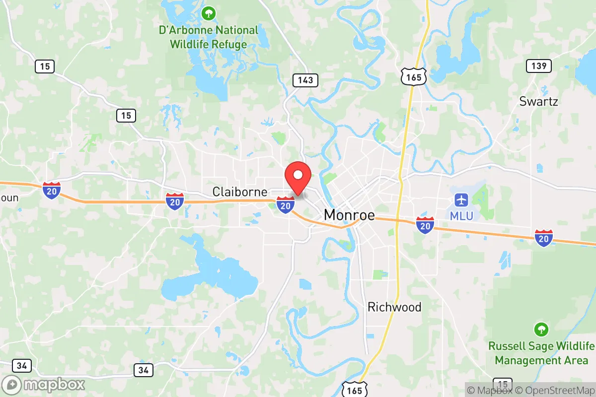
Strategic Assessment of West Monroe, LA
Workable tactical position. Some exposure to population density or targets, but generally defensible in a crisis.
What does the Strategic Assessment tell us?
Our Strategic Assessment grades tactical survivability of an area. Major population centers, military targets, fallout zones, natural disasters, and border exposure all drive risk — lower exposure means a more defensible position in a crisis.
This is heavily inspired by Joel Skousen's Strategic Relocation book. Highly recommended you checkout the book ($)What does this tell us?
Our Strategic Assessment grades tactical survivability of an area. Major population centers, military targets, fallout zones, natural disasters, and border exposure all drive risk — lower exposure means a more defensible position in a crisis.
This is heavily inspired by Joel Skousen's Strategic Relocation book. Highly recommended you checkout the book ($)Strategic Pillars

Key Distances
Regional Safe Places
Below is our recommended "safe zones" in Louisiana and the surrounding area based on our strategic heuristics. For most people, it's unrealistic to live in a “safe zone” full-time due to work, family or other personal reasons. They tend to be more rural. However, many of these areas are perfect for second homes and retreat properties that double as a vacation home or even a short-term rental.

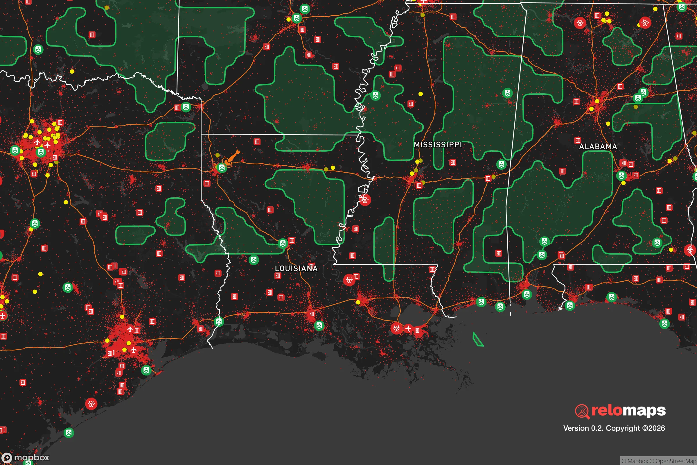
Important Note: For informational purposes only. This does not mean nothing bad ever happens in the green zones. Please use common sense. This is based on public data and modeled with AI. We tried to take a conservative approach but mistakes happen. We update this regularly as new information becomes available.
Solar Generator Recommendations
Backup power matters more here than in safer locations. We've picked three solar generators across budgets and capacity tiers — start with the budget unit if you only need a few essentials, or step up if you want to run a fridge and HVAC for days at a time.

Jackery Portable Power Station Explorer 300
Budget OptionPower on the Go: Weighing only 11 lbs, it's convenient to set up and store with book-sized foldable solar panels

BLUETTI Portable Power Station AC180
Designed for both indoor and outdoor scenarios, AC180 is highly capable as it has a robost capacity and continuous output power.

EF ECOFLOW DELTA Pro Ultra Power Station
Upgraded PickEcoFlow DELTA Pro Ultra is a whole-home energy system designed to grow with your family. Integrated with the Smart Home Panel 2, it scales to meet your evolving energy needs — keeping your home powered, intelligent, and secure through every stage of life.
We earn a commission, at no additional cost to you.
Strategic Assessment Analysis
West Monroe, Louisiana, occupies a strategic position in the Ouachita Parish region that offers a blend of natural insulation and logistical access, making it a viable relocation target for those prioritizing resilience and self-sufficiency. The city sits on the west bank of the Ouachita River, directly across from Monroe, and benefits from a relatively low population density compared to the Gulf Coast corridor or the I-20/49 corridors further south. Its location roughly 100 miles east of Shreveport and 90 miles west of Vicksburg, Mississippi, places it outside the immediate blast radius of major metropolitan targets while still providing access to regional supply chains and medical infrastructure. The area’s economic base—historically tied to timber, paper, and agriculture—has not been heavily militarized or industrialized in ways that would make it a high-value target for strategic strikes, which is a meaningful consideration for those assessing long-term survivability in a degraded national security environment.
Geographic position and natural advantages for long-term security
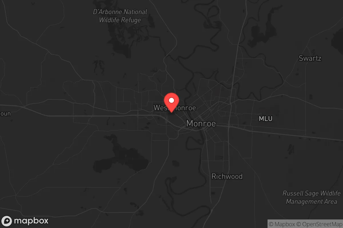
West Monroe’s geography is defined by the Ouachita River and the surrounding floodplain, which provides both a natural barrier and a resource base. The river itself is a navigable waterway that connects to the Mississippi River system, offering a potential evacuation route or supply corridor if ground transport becomes compromised. The area sits on the western edge of the Mississippi Alluvial Plain, meaning the terrain is relatively flat but punctuated by bayous, creeks, and hardwood forests that provide cover and natural resources. The local climate is humid subtropical, with hot summers and mild winters, which supports year-round gardening and livestock operations—critical for food security in a prolonged disruption. The region’s agricultural history means that soil quality is generally good for small-scale farming, and the presence of the Kisatchie National Forest to the south and the D’Arbonne National Wildlife Refuge to the north offers additional public land for foraging, hunting, and timber. For a relocator, the key advantage is that West Monroe is not a choke point—it is not on a major interstate that would funnel refugees or military movements, and it is not adjacent to a major port or refinery that would draw attention in a crisis.
Risks, exposures, and proximity to fallout-relevant landmarks
No location is without risk, and West Monroe has several exposure factors that must be weighed. The most significant is the presence of the Louisiana Energy and Power Authority’s natural gas facilities and the Entergy power plant in the Monroe area, which could be targets for sabotage or collateral damage in a grid-down scenario. The Ouachita River itself is a double-edged sword: while it provides water and transport, it also poses a flood risk, particularly in the spring when snowmelt from the north combines with heavy rainfall. The Federal Emergency Management Agency (FEMA) designates much of the riverfront as a Special Flood Hazard Area, meaning that any property within the 100-year floodplain requires flood insurance and carries elevated risk. Additionally, West Monroe is approximately 120 miles from the Arkansas Nuclear One plant in Russellville, Arkansas, and about 150 miles from the Grand Gulf Nuclear Station in Port Gibson, Mississippi. While these distances are outside the immediate lethal fallout zone for a catastrophic event, prevailing wind patterns from the north and northwest could carry radioactive debris into the region within 24–48 hours, depending on weather. For those with a conservative prepper mindset, the proximity to these facilities is a moderate concern, but not a disqualifying one—especially if you have a basement or a below-ground shelter, which are uncommon in this region due to the high water table.
Practical resilience for a relocator: food, water, energy, and defensibility
For a single individual or family looking to establish a resilient homestead, West Monroe offers a mix of advantages and challenges. Water access is excellent: the Ouachita River is a reliable surface water source, and the area’s shallow aquifer means that private wells can be drilled to depths of 100–200 feet with reasonable success. However, water quality in the river can be compromised by agricultural runoff and industrial discharge upstream, so any surface water intake must be paired with robust filtration—think Berkey or ceramic filters with activated carbon, plus UV sterilization for microbial safety. Food production is viable: the growing season runs from March to November, and the soil in the river bottoms is rich in silt and organic matter. Local farmers’ markets and feed stores in West Monroe and nearby Ruston provide access to seeds, tools, and livestock supplies. The area is also home to a number of small-scale poultry and cattle operations, meaning that barter networks for eggs, meat, and dairy are plausible in a post-collapse scenario. Energy independence is more challenging: the region is not particularly windy, and solar insolation is moderate (about 4.5 peak sun hours per day on average), so a solar array with battery storage is feasible but will require a larger panel footprint than in the Southwest. Natural gas is available in the city limits, but for a rural property, propane tanks and a backup generator are the standard. Defensibility is mixed: the flat terrain and dense tree lines offer good concealment but poor lines of sight for perimeter security. A property with a creek or bayou on one side and a wooded buffer on the others is ideal. The local law enforcement presence is the Ouachita Parish Sheriff’s Office, which has a reputation for being responsive but is stretched thin in rural areas. For those concerned about civil unrest, the city’s population of roughly 13,000 means that social cohesion is higher than in a major metro, but the proximity to Monroe (population 48,000) introduces a vector for transient populations during a crisis. The key is to buy land at least 10–15 miles outside the city center, ideally north or east of the river, to reduce exposure to urban spillover.
The overall strategic picture for West Monroe is one of moderate resilience with specific trade-offs. It is not a hardened bunker location like the Idaho panhandle or the Montana Rockies, but it offers a realistic balance of resource availability, low target value, and access to regional infrastructure. For a conservative relocator who values community, agricultural self-sufficiency, and a lower cost of living (median home prices in Ouachita Parish hover around $180,000 as of 2025), West Monroe is a solid B+ option. The flood risk and nuclear plant proximity are real but manageable with proper site selection and preparation. The area’s political leanings—Ouachita Parish voted +28 points for the Republican presidential candidate in 2024—align with a conservative worldview, and the local culture emphasizes church, family, and hunting, which fosters a social fabric that can hold together under stress. If you are looking for a place to dig in and ride out the coming instability, West Monroe deserves a serious look, but only if you are willing to invest in flood mitigation, a well, and a defensible perimeter. It is not a bug-out location; it is a live-in location that requires work to make truly resilient.
* Values derived from national, state, county, city and local statistics and may differ in a specific area. Last updated: 2026-04-23T01:14:47.000Z
Narrative content on this page is AI-generated and may contain mistakes. Verify any details that matter before acting on them.
ReloMaps may earn a commission from affiliate links at no extra cost to you.