Photo: Wikipedia
Strategic Assessment of Westlake, OH
Meaningful friction. Expect exposure to either population pressure, blast zones, or natural disaster risk. Consider buying a retreat property.
What does the Strategic Assessment tell us?
Our Strategic Assessment grades tactical survivability of an area. Major population centers, military targets, fallout zones, natural disasters, and border exposure all drive risk — lower exposure means a more defensible position in a crisis.
This is heavily inspired by Joel Skousen's Strategic Relocation book. Highly recommended you checkout the book ($)What does this tell us?
Our Strategic Assessment grades tactical survivability of an area. Major population centers, military targets, fallout zones, natural disasters, and border exposure all drive risk — lower exposure means a more defensible position in a crisis.
This is heavily inspired by Joel Skousen's Strategic Relocation book. Highly recommended you checkout the book ($)Strategic Pillars

Key Distances
Regional Safe Places
Below is our recommended "safe zones" in Ohio and the surrounding area based on our strategic heuristics. For most people, it's unrealistic to live in a “safe zone” full-time due to work, family or other personal reasons. They tend to be more rural. However, many of these areas are perfect for second homes and retreat properties that double as a vacation home or even a short-term rental.

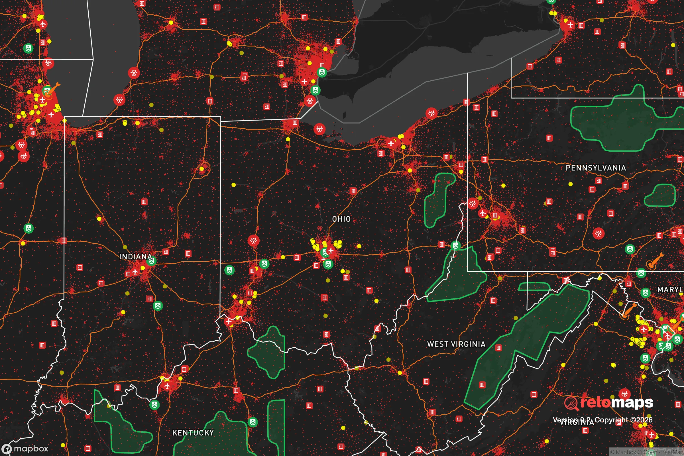


Important Note: For informational purposes only. This does not mean nothing bad ever happens in the green zones. Please use common sense. This is based on public data and modeled with AI. We tried to take a conservative approach but mistakes happen. We update this regularly as new information becomes available.
Solar Generator Recommendations
Backup power matters more here than in safer locations. We've picked three solar generators across budgets and capacity tiers — start with the budget unit if you only need a few essentials, or step up if you want to run a fridge and HVAC for days at a time.

Jackery Portable Power Station Explorer 300
Budget OptionPower on the Go: Weighing only 11 lbs, it's convenient to set up and store with book-sized foldable solar panels

BLUETTI Portable Power Station AC180
Designed for both indoor and outdoor scenarios, AC180 is highly capable as it has a robost capacity and continuous output power.

EF ECOFLOW DELTA Pro Ultra Power Station
Upgraded PickEcoFlow DELTA Pro Ultra is a whole-home energy system designed to grow with your family. Integrated with the Smart Home Panel 2, it scales to meet your evolving energy needs — keeping your home powered, intelligent, and secure through every stage of life.
We earn a commission, at no additional cost to you.
Strategic Assessment Analysis
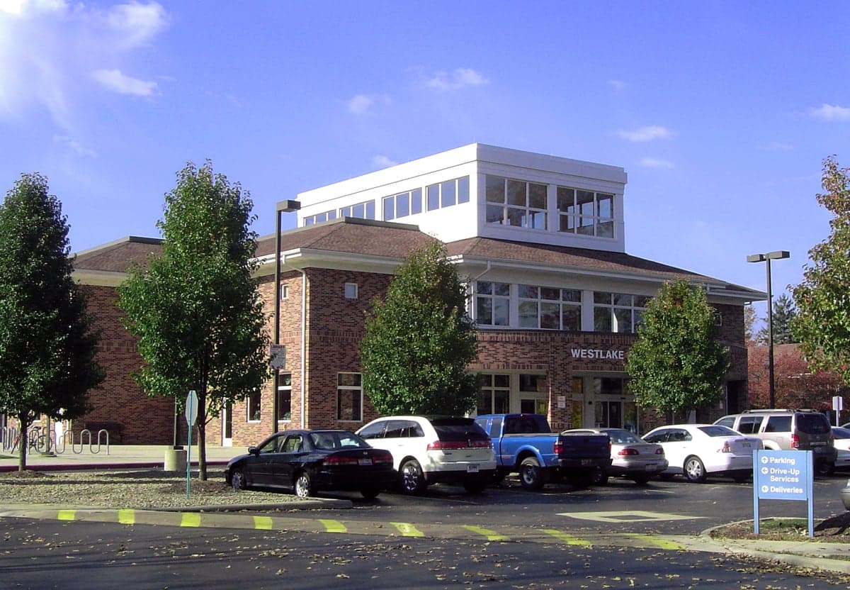
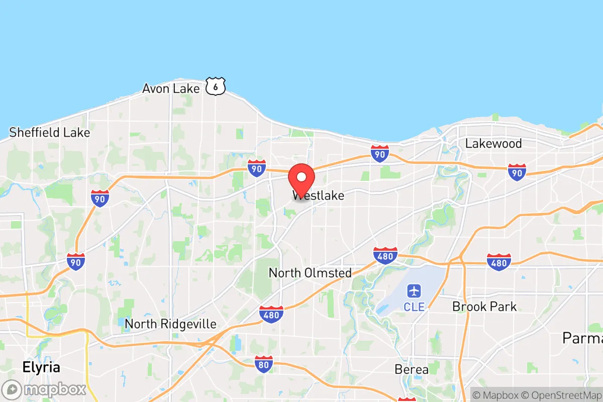
Westlake, Ohio, occupies a strategic position on the Lake Erie shoreline roughly 14 miles west of downtown Cleveland, offering a blend of suburban stability and access to regional resources that makes it a noteworthy option for relocation-minded individuals and families who prioritize disaster readiness and self-sufficiency. The city's location on a relatively high bluff above the lake provides natural drainage advantages and reduces flood risk compared to communities further inland or along the Cuyahoga River valley. While Westlake is undeniably part of the greater Cleveland metropolitan area, its western orientation places it slightly farther from the densest urban core and the associated concentration of man-made risks, though proximity to major infrastructure remains a double-edged sword for the prepared relocator.
Geographic position and natural advantages for long-term stability
Westlake sits on the former lake plain of glacial Lake Maumee, which translates to generally stable, well-drained soils and minimal seismic activity — the region experiences very few earthquakes of any consequence, and the bedrock geology of Devonian shale and limestone offers decent foundation stability. The city's elevation, averaging around 660 feet above sea level with a gradual rise from the lakefront inland, places most residential areas well above the 100-year floodplain, which is largely confined to a narrow band along the lake itself and the small tributary creeks that run through the area. Lake Erie itself acts as a massive thermal reservoir, moderating extreme temperatures: summers rarely exceed 95°F and winters, while snowy, are less severe than inland locations at the same latitude. This moderation reduces the strain on heating and cooling systems during grid outages, a practical advantage for anyone thinking about energy self-sufficiency. The lake also represents a virtually unlimited water source, though treatment and pumping infrastructure would be required to make it usable in a prolonged emergency. The surrounding region's agricultural capacity is substantial — Lorain and Medina counties to the west and south contain some of Ohio's most productive farmland, meaning local food supply chains are shorter and more resilient than in purely urban environments. Westlake's tree canopy is moderate, with mature oaks and maples providing natural windbreaks and shade that reduce energy demand, though the area is not immune to the occasional severe thunderstorm or lake-effect snow event that can bring down power lines.
Risk exposure and proximity to fallout-relevant infrastructure
The most significant strategic drawback of Westlake is its proximity to the Cleveland metropolitan area's concentration of critical infrastructure and potential man-made hazards. The city lies roughly 10 miles from the Cleveland Hopkins International Airport, a major cargo and passenger hub that could become a target or a secondary risk zone during a national security event. More concerning for the fallout-conscious relocator is the presence of the Perry Nuclear Power Plant, located approximately 30 miles east of Westlake along the lake shore. While prevailing winds in northern Ohio are from the west and southwest roughly 60% of the time, placing Westlake generally upwind of Perry, a release event during easterly or variable wind conditions could pose a contamination risk. The city is also within 20 miles of several major chemical and industrial facilities along the Cuyahoga River valley and the Lake Erie shoreline, including refineries and steel processing operations that handle hazardous materials. On the natural hazard side, the primary risks are lake-effect snow events, which can dump 2-3 feet of snow in 24 hours and paralyze transportation, and severe thunderstorms with straight-line winds that occasionally reach 70-80 mph. Tornado risk is moderate but real — the 2010 tornado that struck nearby Lakewood and Cleveland Heights demonstrated that even well-built suburban homes can be vulnerable. Westlake's location on a major east-west transportation corridor (I-90 and the Ohio Turnpike) means that any evacuation scenario involving Cleveland would funnel traffic directly through or around the city, potentially creating choke points at the Rocky River and Cuyahoga River crossings. The city's emergency management infrastructure is competent but oriented toward suburban hazards rather than large-scale disaster scenarios, with mutual aid agreements that depend on regional resources that could be strained during a widespread event.
Practical resilience for daily life and extended disruptions
For the relocator thinking seriously about food, water, energy, and defensibility, Westlake offers a mixed picture that requires deliberate preparation. The city's water supply comes from Lake Erie via the Cleveland Water Department, which treats and distributes water to Westlake and several other western suburbs. This system is generally reliable but vulnerable to power outages, pipeline breaks, and contamination events — a serious consideration since the intake cribs are located offshore and could be affected by a lake-wide pollution incident or a coordinated attack on regional infrastructure. Residents who install private wells are rare in this suburban context, but rainwater collection is legal in Ohio and could supplement household needs with proper filtration. The electrical grid is served by FirstEnergy and relies on overhead distribution lines that are susceptible to ice storms and wind damage; underground utilities are limited to newer developments. Natural gas is widely available for heating and cooking, which provides a backup option during electrical outages if the gas distribution system remains intact. Food resilience is relatively strong: Westlake has multiple grocery stores within a 5-minute drive, and the surrounding agricultural region means that farmers' markets and direct-from-farm purchasing are viable options for building local supply chains. The city's zoning is predominantly single-family residential on lots averaging one-quarter to one-half acre, which provides space for vegetable gardens, small orchards, and even backyard chickens (permitted with restrictions). Defensibility is a more complex assessment: Westlake's street grid is a mix of curvilinear suburban roads and older grid patterns, with multiple entry points from major arterials like Center Ridge Road, Detroit Road, and I-90. The lack of natural barriers or chokepoints makes the city difficult to secure in a widespread civil unrest scenario, though individual homes with proper fencing, reinforced doors, and window security can be hardened against opportunistic threats. The local police department is well-funded and responsive, with typical response times under 5 minutes for emergencies, but would be overwhelmed in a large-scale event. The nearest hospital is St. John Medical Center in Westlake, a full-service facility with a Level III trauma center, though its capacity is limited to roughly 200 beds and would be strained during a regional crisis.
The overall strategic picture for Westlake is that of a moderately resilient suburban location that offers genuine advantages in water access, climate moderation, and agricultural proximity, but carries the inherent risks of being within the orbit of a major metropolitan area with concentrated industrial and infrastructure targets. For the relocator who values proximity to Cleveland's employment and cultural amenities while maintaining a baseline of preparedness, Westlake is a defensible choice — provided that household-level preparations are taken seriously. The city's relatively affluent tax base funds competent public services, and the community's general stability reduces the likelihood of rapid social breakdown compared to more economically stressed areas. However, anyone relocating here with a high threat model should plan for self-sufficiency in water storage, backup power, and food reserves, and should develop evacuation routes that avoid the I-90 corridor during a regional emergency. Westlake is not a retreat location in the wilderness-survival sense, but it is a solid suburban option for the prepared family that wants to balance modern convenience with a realistic assessment of risk and resilience.

* Values derived from national, state, county, city and local statistics and may differ in a specific area. Last updated: 2026-08-10T17:42:38.000Z
Narrative content on this page is AI-generated and may contain mistakes. Verify any details that matter before acting on them.
ReloMaps may earn a commission from affiliate links at no extra cost to you.

