Photo: Wikipedia
Strategic Assessment of Windom, TX
Workable tactical position. Some exposure to population density or targets, but generally defensible in a crisis.
What does the Strategic Assessment tell us?
Our Strategic Assessment grades tactical survivability of an area. Major population centers, military targets, fallout zones, natural disasters, and border exposure all drive risk — lower exposure means a more defensible position in a crisis.
This is heavily inspired by Joel Skousen's Strategic Relocation book. Highly recommended you checkout the book ($)What does this tell us?
Our Strategic Assessment grades tactical survivability of an area. Major population centers, military targets, fallout zones, natural disasters, and border exposure all drive risk — lower exposure means a more defensible position in a crisis.
This is heavily inspired by Joel Skousen's Strategic Relocation book. Highly recommended you checkout the book ($)Strategic Pillars

Key Distances
Regional Safe Places
Below is our recommended "safe zones" in Texas and the surrounding area based on our strategic heuristics. For most people, it's unrealistic to live in a “safe zone” full-time due to work, family or other personal reasons. They tend to be more rural. However, many of these areas are perfect for second homes and retreat properties that double as a vacation home or even a short-term rental.


Important Note: For informational purposes only. This does not mean nothing bad ever happens in the green zones. Please use common sense. This is based on public data and modeled with AI. We tried to take a conservative approach but mistakes happen. We update this regularly as new information becomes available.
Solar Generator Recommendations
Backup power matters more here than in safer locations. We've picked three solar generators across budgets and capacity tiers — start with the budget unit if you only need a few essentials, or step up if you want to run a fridge and HVAC for days at a time.

Jackery Portable Power Station Explorer 300
Budget OptionPower on the Go: Weighing only 11 lbs, it's convenient to set up and store with book-sized foldable solar panels

BLUETTI Portable Power Station AC180
Designed for both indoor and outdoor scenarios, AC180 is highly capable as it has a robost capacity and continuous output power.

EF ECOFLOW DELTA Pro Ultra Power Station
Upgraded PickEcoFlow DELTA Pro Ultra is a whole-home energy system designed to grow with your family. Integrated with the Smart Home Panel 2, it scales to meet your evolving energy needs — keeping your home powered, intelligent, and secure through every stage of life.
We earn a commission, at no additional cost to you.
Strategic Assessment Analysis
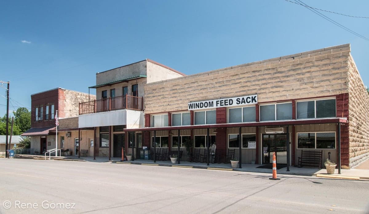
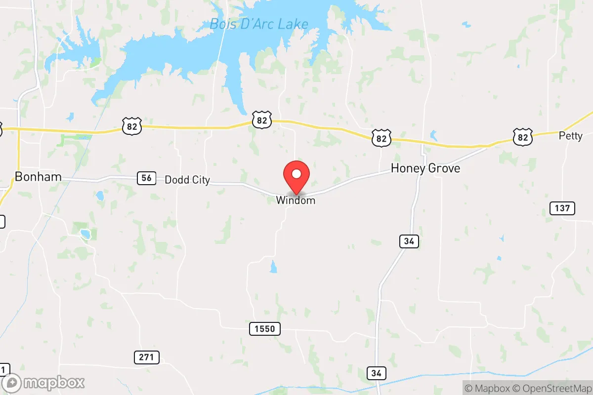
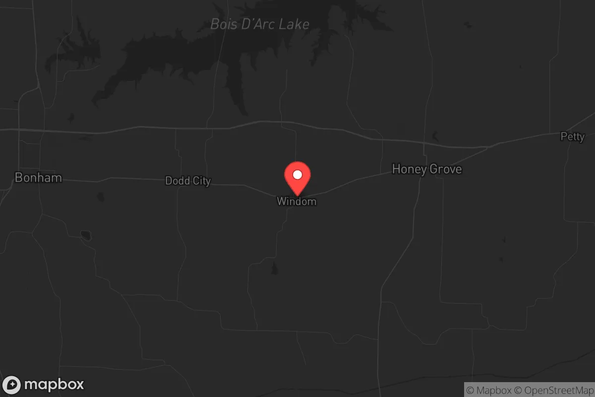
Windom, Texas, sits in a quiet pocket of Fannin County that offers a genuine strategic buffer for those prioritizing long-term resilience. Roughly 70 miles northeast of Dallas and 15 miles from the Oklahoma border, this unincorporated community of fewer than 200 residents provides the kind of low-profile, low-density positioning that preppers and survivalists value. Its location along U.S. Highway 82 gives reasonable access to supply routes without placing you in the blast radius of major metropolitan targets, and the surrounding Blackland Prairie terrain offers a mix of agricultural potential and natural defensibility. For a relocator weighing civic unrest, mass casualty events, or large-scale disasters, Windom presents a credible option—but only if you understand both its quiet strengths and its real vulnerabilities.
Geographic positioning and natural advantages for long-term security
Windom’s primary strategic asset is its distance from high-value targets while still being within a day’s drive of essential resources. The community lies roughly 50 miles from the nearest interstate highway (I-35), which means it avoids the chokepoint traffic and potential refugee flows that would clog major corridors during a crisis. The surrounding Fannin County landscape is predominantly flat to gently rolling farmland, with scattered woodlots along creeks and the Red River basin to the north. This terrain offers decent visibility for perimeter awareness and multiple egress routes via county roads and farm-to-market routes—critical if you need to bug out or reposition. The area’s natural water sources include the North Sulphur River and several smaller creeks, though none are major rivers that would attract large numbers of displaced persons. The climate is typical North Texas: hot summers, cold winters, and enough rainfall (roughly 40 inches annually) to support dryland farming and rainwater catchment without extreme drought risk. For a relocator, the key takeaway is that Windom sits in a sweet spot—close enough to civilization for resupply, far enough to avoid the initial shockwave of a major event.
Risk exposures, proximity to fallout-relevant landmarks, and threat assessment
No location is immune to risk, and Windom has several exposures that demand honest assessment. The most significant is its proximity to the Dallas-Fort Worth metroplex, a Tier 1 target for any large-scale conflict or terrorist action. While 70 miles provides a meaningful buffer against blast effects from a nuclear detonation, fallout patterns depend heavily on wind direction. Prevailing winds in North Texas are from the south and southwest, meaning a strike on DFW could push radioactive debris toward the Red River corridor—including Windom. You would need a basement or reinforced shelter with HEPA filtration to ride out the first 72 hours. Additionally, the nearby Sherman-Denison area (about 20 miles west) hosts critical infrastructure including a major rail yard and the Perrin Air Force Base (now a general aviation airport but still a potential secondary target). The North Texas Municipal Water District’s reservoirs and treatment plants are within 30 miles, making them plausible targets for sabotage. On the plus side, Windom has no nuclear power plants within 100 miles (the nearest is Comanche Peak near Glen Rose, roughly 120 miles southwest), and no major military installations directly adjacent. The primary risk is not direct attack but secondary effects: refugee migration, supply chain collapse, and civil unrest spilling out of the metroplex. For a conservative-minded relocator, the calculus is that Windom is far enough to survive the initial event but close enough that you must have a solid security plan for the aftermath.
Practical resilience: food, water, energy, and defensibility for a relocator
Windom’s practical resilience hinges on its agricultural base and low population density. The surrounding farmland is suitable for row crops (corn, wheat, soybeans) and livestock grazing, meaning a relocator with land can achieve meaningful food self-sufficiency within a season or two. Local soil is heavy black clay—good for crops but poor for septic drainage, so factor that into any land purchase. Water is the more immediate concern: Fannin County relies on groundwater from the Trinity and Woodbine aquifers, with typical well depths of 200-400 feet. Municipal water in Windom itself is limited, so a private well with a hand pump or solar-powered backup is essential. Rainwater catchment is viable given annual rainfall, but storage capacity must be substantial (at least 1,000 gallons per person for a 30-day supply). Energy resilience is moderate: the area is served by CoServ Electric, a cooperative that has historically been more reliable than investor-owned utilities, but the grid is still vulnerable to weather events (ice storms, tornadoes) and cyberattacks. Solar panels with battery storage are a wise investment, and natural gas is not widely available, so propane for heating and cooking is the standard backup. Defensibility is Windom’s strongest suit: the community is small enough that neighbors know each other, and the rural layout means properties with clear sightlines and limited road access are common. There are no police stations within Windom itself—Fannin County Sheriff’s Office covers the area, with response times of 20-30 minutes. That means a relocator must be prepared for self-defense and community mutual aid. The overall picture is that Windom rewards preparation: it offers the raw ingredients for resilience, but you must bring the infrastructure and mindset to make it work.
The strategic picture for Windom is one of calculated trade-offs. It is not a remote bunker in the mountains—it is a working-class rural community with real exposure to the risks of a nearby major city. But for a relocator who values low profile, agricultural potential, and a like-minded conservative population (Fannin County voted +42 R in 2024), it offers a viable base of operations. The key is to treat Windom as a starting point, not a finished solution: secure your water and energy independence, build relationships with local farmers and ranchers, and have a clear plan for the first 72 hours of any major event. If you do that, this quiet corner of North Texas can serve as a solid foundation for weathering whatever comes next.
* Values derived from national, state, county, city and local statistics and may differ in a specific area. Last updated: 2026-04-17T23:45:33.000Z
Narrative content on this page is AI-generated and may contain mistakes. Verify any details that matter before acting on them.
ReloMaps may earn a commission from affiliate links at no extra cost to you.