
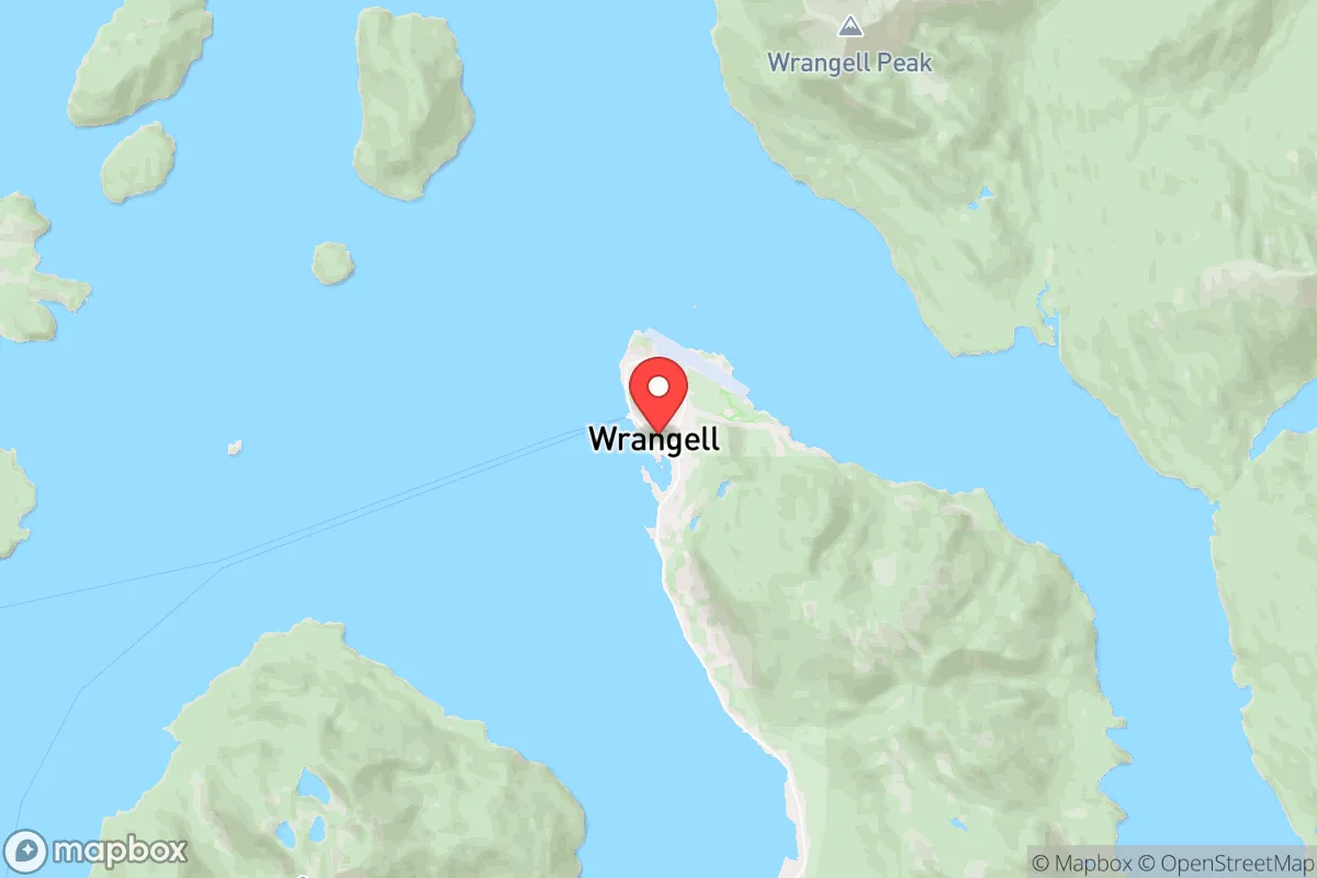
Strategic Assessment of Wrangell City And, AK
Deep buffer from population centers and strategic targets. Low natural disaster risk and minimal exposure to border or coastal threats.
What does the Strategic Assessment tell us?
Our Strategic Assessment grades tactical survivability of an area. Major population centers, military targets, fallout zones, natural disasters, and border exposure all drive risk — lower exposure means a more defensible position in a crisis.
This is heavily inspired by Joel Skousen's Strategic Relocation book. Highly recommended you checkout the book ($)What does this tell us?
Our Strategic Assessment grades tactical survivability of an area. Major population centers, military targets, fallout zones, natural disasters, and border exposure all drive risk — lower exposure means a more defensible position in a crisis.
This is heavily inspired by Joel Skousen's Strategic Relocation book. Highly recommended you checkout the book ($)Strategic Pillars

Key Distances
Regional Safe Places
Below is our recommended "safe zones" in Alaska and the surrounding area based on our strategic heuristics. For most people, it's unrealistic to live in a “safe zone” full-time due to work, family or other personal reasons. They tend to be more rural. However, many of these areas are perfect for second homes and retreat properties that double as a vacation home or even a short-term rental.
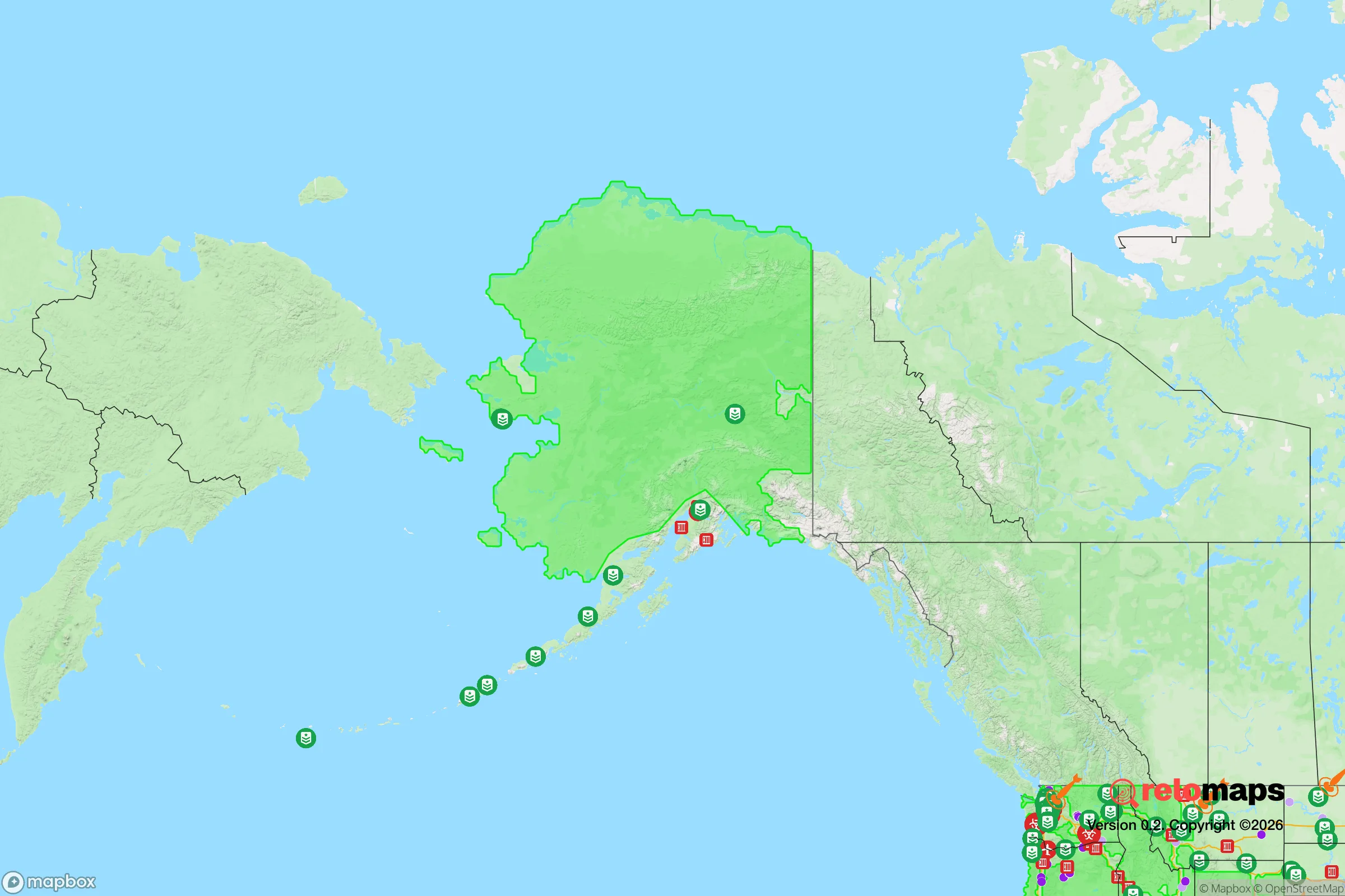
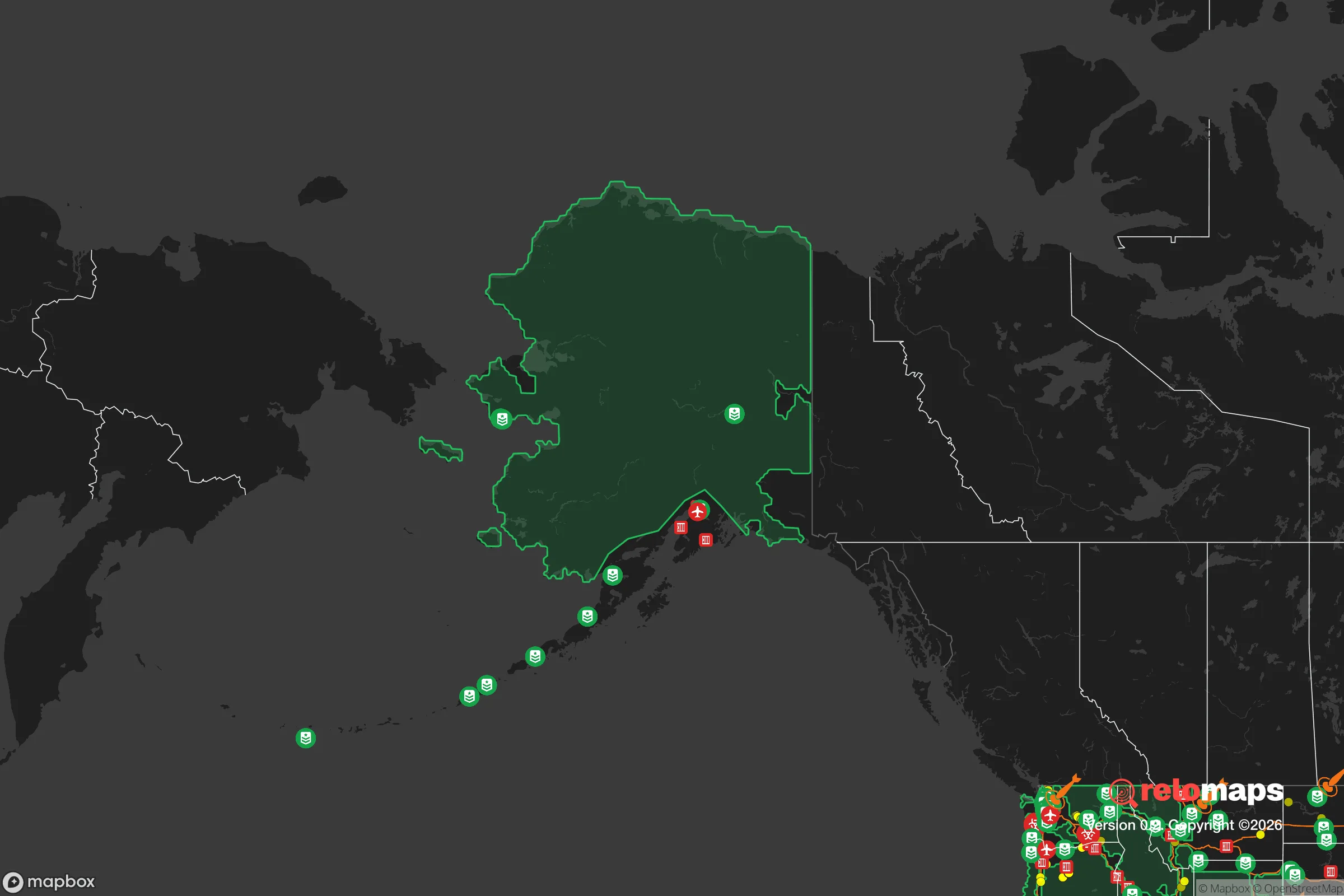
Important Note: For informational purposes only. This does not mean nothing bad ever happens in the green zones. Please use common sense. This is based on public data and modeled with AI. We tried to take a conservative approach but mistakes happen. We update this regularly as new information becomes available.
Solar Generator Recommendations
Backup power matters more here than in safer locations. We've picked three solar generators across budgets and capacity tiers — start with the budget unit if you only need a few essentials, or step up if you want to run a fridge and HVAC for days at a time.

Jackery Portable Power Station Explorer 300
Budget OptionPower on the Go: Weighing only 11 lbs, it's convenient to set up and store with book-sized foldable solar panels

BLUETTI Portable Power Station AC180
Designed for both indoor and outdoor scenarios, AC180 is highly capable as it has a robost capacity and continuous output power.

EF ECOFLOW DELTA Pro Ultra Power Station
Upgraded PickEcoFlow DELTA Pro Ultra is a whole-home energy system designed to grow with your family. Integrated with the Smart Home Panel 2, it scales to meet your evolving energy needs — keeping your home powered, intelligent, and secure through every stage of life.
We earn a commission, at no additional cost to you.
Strategic Assessment Analysis
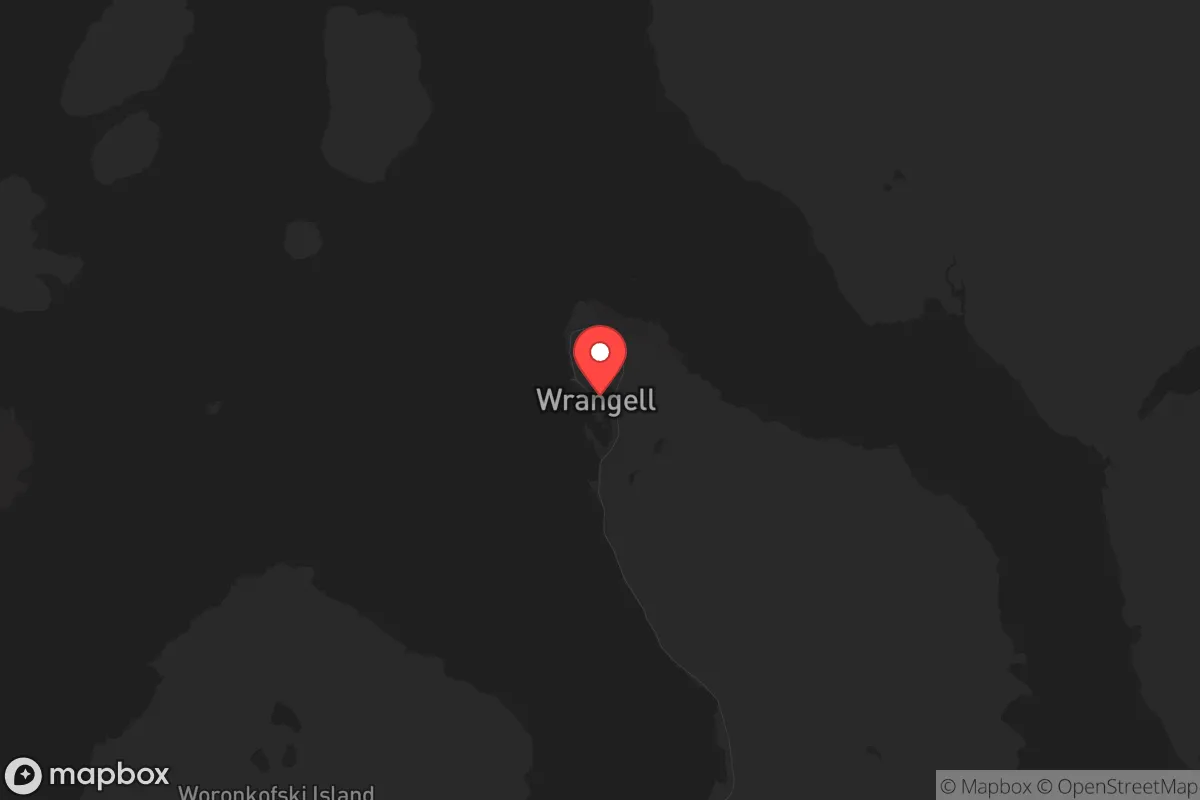
Wrangell, Alaska, offers a strategic resilience profile that is hard to match in the Lower 48, but it comes with a steep price in logistics and isolation. Its location on Wrangell Island, deep inside the Inside Passage, places it far from any major population center—the nearest city of any size, Juneau, is 90 miles away by air or sea, and Anchorage is over 500 miles distant. This remoteness is a double-edged sword: it provides natural buffering from the cascading effects of coastal unrest or grid collapse, but it also means that any serious disruption to air or sea transport could leave the area cut off for weeks. For a relocator thinking about long-term survival, Wrangell’s primary advantage is that it is not on anyone’s strategic target list—no major military bases, no critical infrastructure hubs, no dense urban targets. The community of roughly 2,100 people is tight-knit, self-reliant, and accustomed to operating with limited external support, which is a cultural asset that cannot be easily replicated.
Geographic position and natural advantages for long-term survival
Wrangell sits at the mouth of the Stikine River, one of the largest undammed river systems in North America, which provides a reliable freshwater source and a corridor into the interior. The surrounding Tongass National Forest is a temperate rainforest, meaning water is abundant year-round—rainfall averages over 80 inches annually—and the dense old-growth timber offers both building materials and fuel. The terrain is rugged, with steep mountains and thick forest, which naturally limits overland access and creates defensible chokepoints. The ocean is a massive food pantry: salmon runs are still strong, halibut and crab are plentiful, and the intertidal zone yields clams, mussels, and seaweed. For a prepper, this means that even if supply chains collapse, the basic necessities of water, shelter, and food are present in the immediate environment. The climate is maritime, with mild winters (average January lows around 25°F) and cool summers, which reduces the risk of extreme temperature-related survival challenges. However, the long, dark winters (less than 7 hours of daylight in December) are a psychological and practical hurdle that requires preparation—solar power is marginal during those months, and reliance on hydroelectric or diesel backup is essential.
Risks, exposures, and proximity to fallout-relevant landmarks
Wrangell’s primary risk is not from direct attack but from cascading failures in the supply chain. The town is entirely dependent on barge and air freight for fuel, medical supplies, ammunition, and most manufactured goods. The nearest major fuel depot is in Juneau, and the barge route passes through narrow, weather-prone channels that can be shut down by storms or blockades. If a mass casualty event or civil unrest disrupts shipping in the Pacific Northwest—say, a port closure in Seattle or Prince Rupert—Wrangell would feel the pinch within two weeks. There are no strategic targets nearby: no nuclear power plants, no major military installations (the nearest is Joint Base Elmendorf-Richardson near Anchorage, over 500 miles away), and no large industrial complexes. The closest potential fallout concern is the decommissioned nuclear test site on Amchitka Island in the Aleutians, but that is over 1,000 miles west and poses no realistic threat. The real exposure is to natural disasters: the region sits in a seismically active zone, and a major earthquake could trigger a tsunami that would inundate the low-lying harbor area. The 1964 Good Friday earthquake caused a 12-foot wave in Wrangell, but the town’s core is built on bedrock at higher elevation, so the risk is primarily to docks and waterfront infrastructure. For a relocator, the key takeaway is that Wrangell is not a target, but it is vulnerable to supply chain disruption and seismic events—both of which can be mitigated with proper stockpiling and site selection.
Practical resilience for a relocator: food, water, energy, and defensibility
Food security in Wrangell is above average for an Alaskan town. The commercial fishing fleet provides local access to protein, and the state’s subsistence laws allow residents to harvest salmon, halibut, deer, and bear with proper licensing. Gardening is possible but challenging—the growing season is short (May to September) and the soil is acidic and rocky, so raised beds and greenhouses are almost mandatory. The Wrangell Cooperative Association, the local tribal entity, runs a community garden and offers workshops on food preservation, which is a resource worth tapping. Water is not an issue: the town draws from Mountain Lake, a high-elevation reservoir that gravity-feeds the system, so even without power, water would flow for a time. For long-term off-grid living, a property with a stream or well is ideal, and many lots in the surrounding area have those features. Energy is the weak link. The town’s grid is powered by diesel generators and a small hydroelectric plant on the Stikine River, but the hydro output is seasonal and the diesel supply is vulnerable. Solar panels are useful in summer but nearly useless in winter; a better bet is a small wind turbine or a micro-hydro setup if you have running water on your property. Defensibility is excellent: the island’s perimeter is mostly steep, forested slopes, and the only road access is a short spur from the ferry terminal. A small group could easily monitor the handful of entry points—the airport, the harbor, and the ferry dock. The local population is armed (Alaska has some of the most permissive gun laws in the country), and the community is accustomed to self-policing, as the nearest state trooper post is in Petersburg, 30 miles away by boat. For a single individual or family, Wrangell offers a low-profile, high-autonomy environment where you can live largely unnoticed, provided you are willing to put in the physical work.
The overall strategic picture for Wrangell is one of high isolation, moderate natural abundance, and significant logistical fragility. It is not a place for someone who needs quick access to medical care, Amazon deliveries, or a social safety net—the nearest hospital is a 30-bed facility with limited surgical capability, and serious cases are medevaced to Juneau or Seattle. But for a relocator with a prepper mindset who values distance from urban chaos, a defensible geography, and a community that understands self-reliance, Wrangell is a strong candidate. The trade-off is clear: you trade convenience and connectivity for security and sustainability. If the goal is to be off the grid and off the radar, with a buffer of hundreds of miles of ocean and forest between you and the next crisis, Wrangell delivers. Just make sure you have a year’s worth of fuel, ammunition, and medical supplies on hand before you arrive—because once you’re there, you’re on your own, and that’s exactly the point.
* Values derived from national, state, county, city and local statistics and may differ in a specific area. Last updated: 2026-04-19T19:43:40.000Z
Narrative content on this page is AI-generated and may contain mistakes. Verify any details that matter before acting on them.
ReloMaps may earn a commission from affiliate links at no extra cost to you.