Photo: Wikipedia
Strategic Assessment of Albany, GA
Meaningful friction. Expect exposure to either population pressure, blast zones, or natural disaster risk. Consider buying a retreat property.
What does the Strategic Assessment tell us?
Our Strategic Assessment grades tactical survivability of an area. Major population centers, military targets, fallout zones, natural disasters, and border exposure all drive risk — lower exposure means a more defensible position in a crisis.
This is heavily inspired by Joel Skousen's Strategic Relocation book. Highly recommended you checkout the book ($)What does this tell us?
Our Strategic Assessment grades tactical survivability of an area. Major population centers, military targets, fallout zones, natural disasters, and border exposure all drive risk — lower exposure means a more defensible position in a crisis.
This is heavily inspired by Joel Skousen's Strategic Relocation book. Highly recommended you checkout the book ($)Strategic Pillars

Key Distances
Regional Safe Places
Below is our recommended "safe zones" in Georgia and the surrounding area based on our strategic heuristics. For most people, it's unrealistic to live in a “safe zone” full-time due to work, family or other personal reasons. They tend to be more rural. However, many of these areas are perfect for second homes and retreat properties that double as a vacation home or even a short-term rental.


Important Note: For informational purposes only. This does not mean nothing bad ever happens in the green zones. Please use common sense. This is based on public data and modeled with AI. We tried to take a conservative approach but mistakes happen. We update this regularly as new information becomes available.
Solar Generator Recommendations
Backup power matters more here than in safer locations. We've picked three solar generators across budgets and capacity tiers — start with the budget unit if you only need a few essentials, or step up if you want to run a fridge and HVAC for days at a time.

Jackery Portable Power Station Explorer 300
Budget OptionPower on the Go: Weighing only 11 lbs, it's convenient to set up and store with book-sized foldable solar panels

BLUETTI Portable Power Station AC180
Designed for both indoor and outdoor scenarios, AC180 is highly capable as it has a robost capacity and continuous output power.

EF ECOFLOW DELTA Pro Ultra Power Station
Upgraded PickEcoFlow DELTA Pro Ultra is a whole-home energy system designed to grow with your family. Integrated with the Smart Home Panel 2, it scales to meet your evolving energy needs — keeping your home powered, intelligent, and secure through every stage of life.
We earn a commission, at no additional cost to you.
Strategic Assessment Analysis
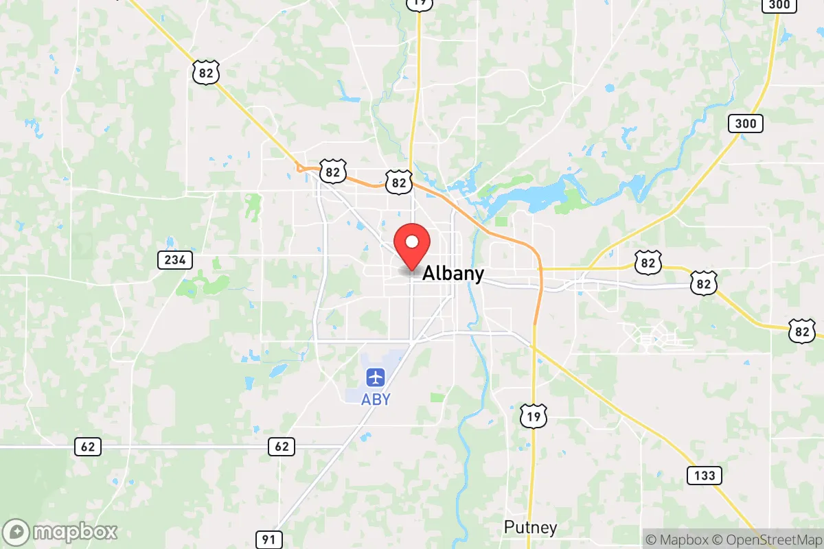
Albany, Georgia, sits in a part of the Deep South that offers a genuine mix of strategic advantages and hard trade-offs for anyone serious about long-term preparedness. The city itself is a regional hub—population around 70,000—but it’s surrounded by vast stretches of agricultural land, pine forests, and small towns that create a buffer zone most metro areas simply don’t have. Its location along the Flint River gives it a natural water source, and its position roughly 90 miles from the Gulf Coast and 180 miles from Atlanta means it’s close enough to access major infrastructure but far enough to avoid the immediate chaos of a coastal evacuation or a metropolitan collapse. For a relocator thinking in terms of decades, not just next year, Albany’s biggest asset is that it’s not on anyone’s short list for a primary target, yet it still has enough bones—a regional airport, a medical center, a rail line—to function as a staging point if things go sideways.
Geographic position and natural advantages for long-term security
Albany’s geography is its strongest card. The Flint River runs right through town, providing a reliable surface water source that can be treated or filtered for drinking, irrigation, and sanitation. The surrounding terrain is flat to gently rolling, which means farming is viable without heavy equipment—something that matters if supply chains ever falter. The growing season is long, roughly 230 days, and the soil in Dougherty County is a mix of sandy loam and clay, good for row crops like peanuts, cotton, and corn. You’re also within a two-hour drive of the Gulf Coast, which gives access to seafood and maritime trade routes, but you’re not living on the coast itself, so you avoid the hurricane storm surge and the inevitable FEMA cluster that follows every major storm. The area sits on the Dougherty Plain, a geological region that’s historically been a breadbasket for the Southeast. For a prepper, that means local food production isn’t a fantasy—it’s a historical reality that could be revived quickly. The climate is humid subtropical, so water scarcity is rarely a concern, but you do have to plan for heat and humidity in the summer months, which can strain off-grid power systems and food storage if you’re not careful.
Risks, exposures, and proximity to fallout-relevant landmarks
Here’s where the analysis gets sobering. Albany is not a fallout-free zone. The biggest concern is the proximity to Moody Air Force Base, located just north of the city. Moody is home to the 23rd Wing, which operates A-10C Thunderbolt IIs and HC-130J Combat King IIs. In a major conflict, that base becomes a high-value target. A ground burst at Moody would put Albany in the lethal fallout zone for the first few hours, depending on wind direction. The prevailing winds in southwest Georgia are from the west and southwest, which means fallout from a strike on Moody would likely drift east-northeast, potentially affecting areas like Tifton and Valdosta more than Albany itself, but it’s still a risk you have to account for. Beyond Moody, you’ve got the Marine Corps Logistics Base in Albany proper—a major depot for vehicle maintenance and repair. That’s a secondary target. You’re also within 150 miles of the Port of Savannah and the Port of Brunswick, both critical economic nodes that could see disruption from naval blockade or sabotage. On the plus side, there are no nuclear power plants within 100 miles, and the nearest major population center—Atlanta—is far enough that a mass evacuation from there would likely flow along I-75, not I-85, which puts Macon and Columbus in the path, not Albany. The city’s relative isolation from interstate corridors is actually a defensive advantage: if you need to bug out, you’re not competing with millions of panicked drivers.
Practical resilience for a relocator: food, water, energy, and defensibility
For someone actually moving here with a prepper mindset, the practical details matter more than the big-picture geography. Water is straightforward: the Flint River is perennial, and the local water table is high, so shallow wells are viable across most of Dougherty County. The city’s water treatment plant draws from the river, but if that goes down, you’ll want a backup well or a high-capacity filtration system. Food is where Albany shines. The surrounding agricultural economy means you can buy direct from farmers at places like the Albany Farmers Market or through local CSAs. Peanuts, pecans, corn, soybeans, and livestock are all produced locally. There are also several feed stores and agricultural supply houses that stock seeds, tools, and animal feed—resources that become gold in a long-term disruption. Energy is a mixed bag. The grid is served by Georgia Power, which relies on a mix of natural gas, coal, and nuclear (Plant Hatch is about 90 miles east). Solar is viable—you get about 5.5 peak sun hours per day—but you’ll need battery storage to handle the cloudy days and summer thunderstorms. Defensibility is decent but not fortress-level. The city is spread out, with a mix of older neighborhoods, newer subdivisions, and rural acreage. If you’re looking for a property that’s easy to secure, aim for the outskirts—places like Leesburg or Putney—where you can get 5-10 acres with good sightlines and limited road access. The local law enforcement presence is adequate for a city this size, but in a collapse scenario, you’d want to be in a small community where neighbors know each other. The biggest practical downside is the heat and humidity, which accelerate decay of stored goods and increase water needs. Plan for double the water storage you’d need in a dry climate, and invest in a good dehumidifier for your root cellar or storage room.
The overall strategic picture for Albany is one of cautious optimism for the prepared relocator. It’s not a perfect hideaway—the military targets nearby are a real liability, and the climate requires serious planning for food storage and energy management. But compared to most cities in the Southeast, it offers a rare combination of water access, agricultural potential, and relative isolation from the major failure points of the Eastern Seaboard. If you’re looking for a place that can sustain a small community through a multi-year disruption without being on anyone’s radar as a strategic prize, Albany deserves a hard look. Just don’t buy property within five miles of Moody or the MCLB, and make sure your bug-out plan accounts for the prevailing wind direction. Do that, and you’ve got a solid base of operations for whatever comes next.
* Values derived from national, state, county, city and local statistics and may differ in a specific area. Last updated: 2026-04-30T00:52:30.000Z
Narrative content on this page is AI-generated and may contain mistakes. Verify any details that matter before acting on them.
ReloMaps may earn a commission from affiliate links at no extra cost to you.