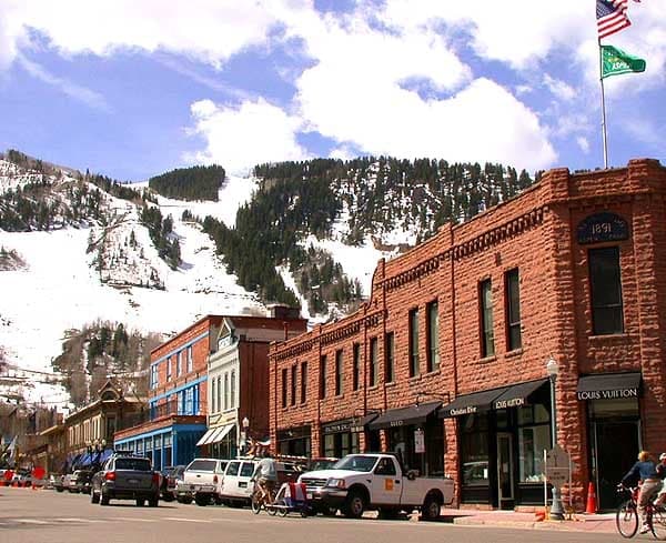
Photo: Wikipedia
Strategic Assessment of Aspen, CO
Workable tactical position. Some exposure to population density or targets, but generally defensible in a crisis.
What does the Strategic Assessment tell us?
Our Strategic Assessment grades tactical survivability of an area. Major population centers, military targets, fallout zones, natural disasters, and border exposure all drive risk — lower exposure means a more defensible position in a crisis.
This is heavily inspired by Joel Skousen's Strategic Relocation book. Highly recommended you checkout the book ($)What does this tell us?
Our Strategic Assessment grades tactical survivability of an area. Major population centers, military targets, fallout zones, natural disasters, and border exposure all drive risk — lower exposure means a more defensible position in a crisis.
This is heavily inspired by Joel Skousen's Strategic Relocation book. Highly recommended you checkout the book ($)Strategic Pillars

Key Distances
Regional Safe Places
Below is our recommended "safe zones" in Colorado and the surrounding area based on our strategic heuristics. For most people, it's unrealistic to live in a “safe zone” full-time due to work, family or other personal reasons. They tend to be more rural. However, many of these areas are perfect for second homes and retreat properties that double as a vacation home or even a short-term rental.


Important Note: For informational purposes only. This does not mean nothing bad ever happens in the green zones. Please use common sense. This is based on public data and modeled with AI. We tried to take a conservative approach but mistakes happen. We update this regularly as new information becomes available.
Solar Generator Recommendations
Backup power matters more here than in safer locations. We've picked three solar generators across budgets and capacity tiers — start with the budget unit if you only need a few essentials, or step up if you want to run a fridge and HVAC for days at a time.

Jackery Portable Power Station Explorer 300
Budget OptionPower on the Go: Weighing only 11 lbs, it's convenient to set up and store with book-sized foldable solar panels

BLUETTI Portable Power Station AC180
Designed for both indoor and outdoor scenarios, AC180 is highly capable as it has a robost capacity and continuous output power.

EF ECOFLOW DELTA Pro Ultra Power Station
Upgraded PickEcoFlow DELTA Pro Ultra is a whole-home energy system designed to grow with your family. Integrated with the Smart Home Panel 2, it scales to meet your evolving energy needs — keeping your home powered, intelligent, and secure through every stage of life.
We earn a commission, at no additional cost to you.
Strategic Assessment Analysis
Aspen, Colorado, presents a deeply contradictory picture for the strategic relocator. On one hand, its extreme wealth, isolation, and high-altitude geography offer a degree of natural resilience and defensibility that few places in the lower 48 can match. On the other, its status as a global luxury destination, its complete dependence on a fragile tourism economy, and its proximity to a major interstate corridor that leads directly to the Denver metroplex create significant vulnerabilities. For a conservative-leaning individual or family thinking in terms of long-term preparedness, Aspen is not a simple yes or no—it is a high-risk, high-reward proposition that demands a clear-eyed assessment of trade-offs.
Geographic position and natural advantages for long-term security
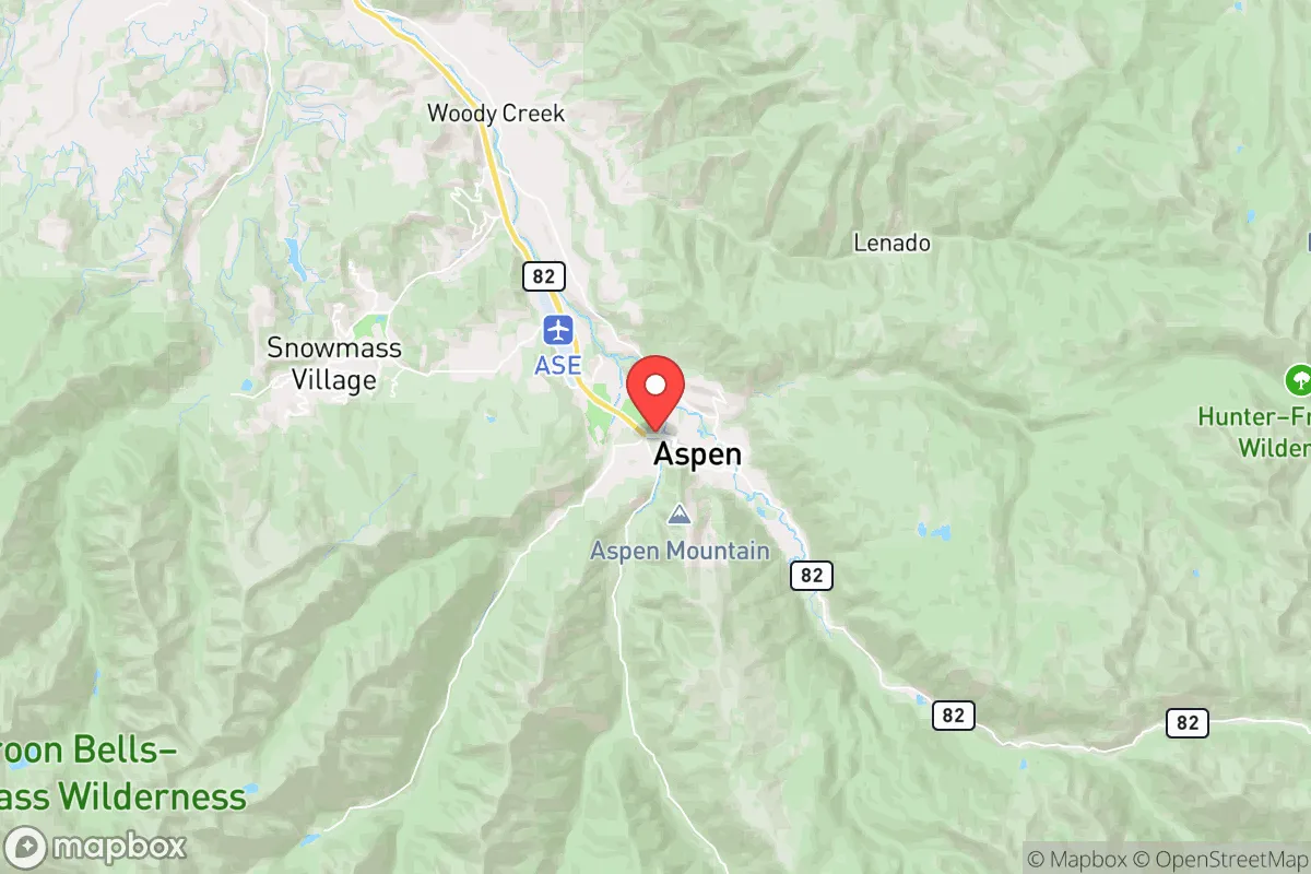
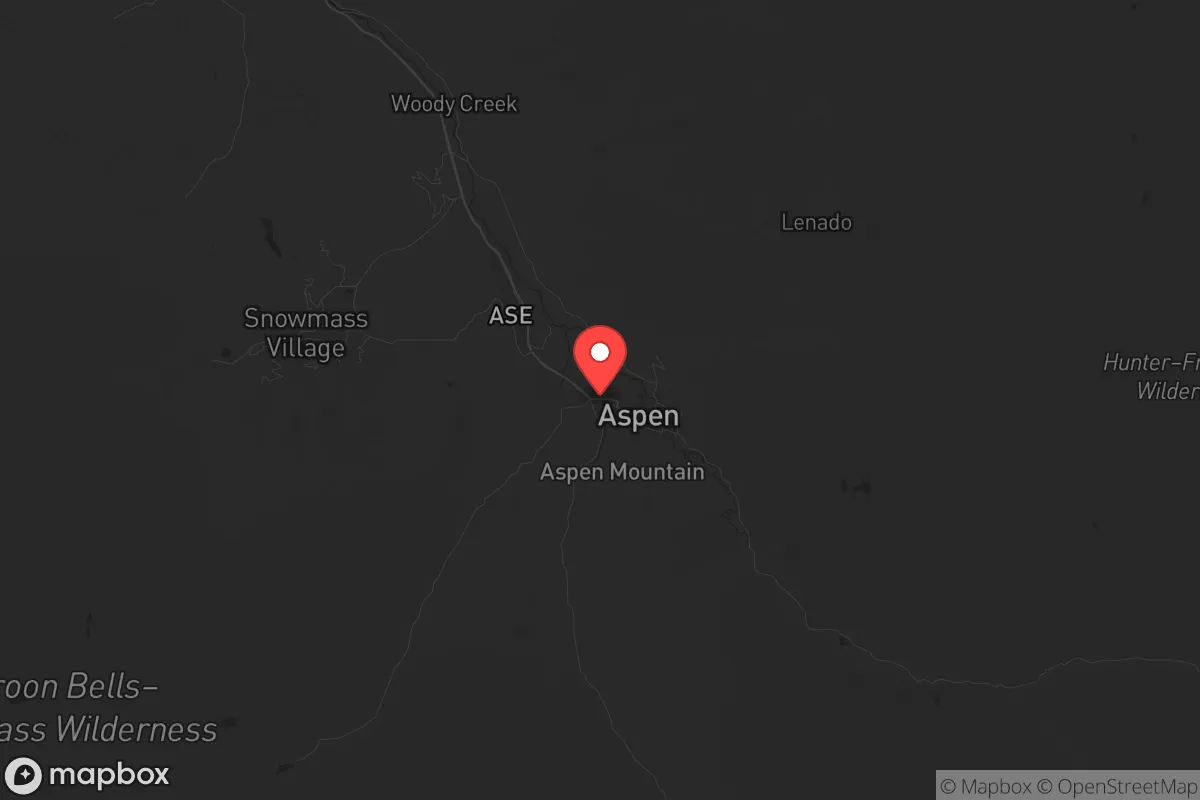
Aspen sits in a narrow, high-altitude valley in the Elk Mountains of central Colorado, at roughly 8,000 feet. The surrounding terrain is some of the most rugged in the continental United States, with peaks exceeding 14,000 feet and only a handful of viable road approaches. The primary access is State Highway 82, which snakes through the Roaring Fork Valley and over the formidable Independence Pass (closed in winter) or comes up from Glenwood Springs to the north. This natural chokepoint geography is a double-edged sword: it makes Aspen extremely difficult to approach in a crisis, but it also means that if the pass or the highway is blocked—by weather, accident, or civil unrest—the town is effectively cut off. For a prepper, this isolation is a major asset. The valley's microclimate is relatively dry, with over 300 days of sunshine per year, which supports solar power generation and reduces the risk of mold and rot in stored supplies. The surrounding national forest land (White River National Forest) provides a vast buffer of public land, limiting suburban sprawl and offering potential hunting and foraging opportunities, though game is scarce at this altitude. The elevation also provides a natural defense against airborne contaminants and offers a commanding view of the valley floor, making it easier to monitor approaches.
Risks, exposures, and proximity to fallout-relevant landmarks
The most significant strategic vulnerability of Aspen is its proximity to the I-70 corridor, which runs through Glenwood Springs, about 40 miles north. I-70 is the primary east-west artery through the Colorado Rockies, connecting the Denver metroplex (population ~3 million) to the Western Slope. In a mass evacuation scenario—whether from a natural disaster, a nuclear event, or widespread civil unrest in Denver—I-70 would become a parking lot of desperate people. Aspen is not directly on I-70, but it is close enough that refugees could easily divert south on Highway 82, especially if the passes to the west (Grand Mesa, etc.) are blocked. The town itself is a high-value target for looting and resource seizure in a breakdown scenario, simply because of the concentration of wealth. The Aspen-Pitkin County Airport (ASE) is a major private jet hub, which in a crisis could become a focal point for the wealthy attempting to flee, drawing unwanted attention. There are no major military installations, nuclear power plants, or chemical facilities within 50 miles, which is a positive. However, the nearby Roaring Fork River and the Colorado River headwaters are critical water sources for the entire Southwest; any contamination event upstream would have cascading effects, but Aspen itself is at the source, giving it a clean-water advantage. The primary natural risk is avalanche danger in winter, which can close Highway 82 for days, and the ever-present threat of wildfire in the dry summer months. The 2018 Lake Christine Fire near Basalt (15 miles downvalley) burned over 12,000 acres and forced evacuations, demonstrating that the valley is not immune to fire.
Practical resilience for a relocator: food, water, energy, and defensibility
For a family or individual serious about self-sufficiency, Aspen presents a mixed bag. Water is abundant—the Roaring Fork River runs through town, and the high snowpack provides a reliable annual melt. However, surface water requires filtration and treatment, and in a grid-down scenario, pumping it uphill to homes will be impossible without backup power. Food security is the weakest link. Aspen has no significant agricultural base; virtually all food is trucked in over the passes. The growing season is short (June to September) and the soil is rocky and thin. Greenhouse operations are possible but expensive. The local grocery stores (City Market, Whole Foods) carry high inventory but are dependent on just-in-time delivery. In a prolonged disruption, shelves would empty in days. Energy is a bright spot. Aspen has a municipal utility (Aspen Electric) that has invested heavily in local hydroelectric and solar generation. The grid is relatively modern, and many homes have backup generators or solar arrays. Natural gas is piped in, but the system is vulnerable to seismic activity. Defensibility is high for a small, organized group. The valley's narrow shape means that a handful of determined people could block the main road at several points (e.g., the Castle Creek Bridge, the Maroon Creek Bridge). The surrounding peaks provide excellent observation posts. However, the town's population of about 7,000 swells to over 20,000 during peak tourist season, and many of those visitors are not prepared for a crisis. In a collapse scenario, the transient population would become a liability. The local law enforcement (Pitkin County Sheriff's Office) is professional but small; they would be overwhelmed quickly. The nearest hospital (Aspen Valley Hospital) is a critical access facility with limited trauma capacity—adequate for routine emergencies but not for mass casualties.
The overall strategic picture for Aspen is one of extreme isolation and extreme dependence. It is a fortress that cannot feed itself. For a relocator with the resources to build a self-sufficient homestead—solar panels, a well or river intake, a greenhouse, a deep pantry, and a reliable vehicle capable of navigating snow and rough terrain—Aspen offers a defensible redoubt far from the chaos of the Front Range. But for someone expecting to walk into a ready-made safe haven, the reality is sobering. The town's economy and social fabric are built on luxury tourism, not resilience. The local government is deeply progressive, which may clash with a conservative worldview, and the cost of living is among the highest in the nation. If you can afford the land, the infrastructure, and the supplies, and you are willing to accept the trade-off of extreme winter isolation and a short growing season, Aspen can work as a strategic fallback. If you are looking for a community of like-minded, self-reliant individuals, you may find more alignment in smaller towns like Carbondale or Rifle, which are less glamorous but more grounded. Aspen is a beautiful, high-value asset on the map, but it is not a survivalist's paradise—it is a wealthy enclave with a thin margin for error. Plan accordingly.
* Values derived from national, state, county, city and local statistics and may differ in a specific area. Last updated: 2026-05-11T22:11:57.000Z
Narrative content on this page is AI-generated and may contain mistakes. Verify any details that matter before acting on them.
ReloMaps may earn a commission from affiliate links at no extra cost to you.