Photo: Wikipedia
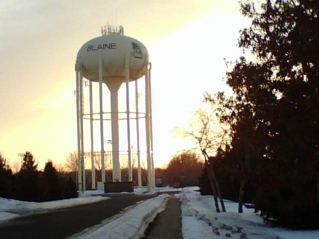
Strategic Assessment of Blaine, MN
Multiple tactical vulnerabilities. Population density, target proximity, or disaster risk are likely compounding. A retreat property and exit planning is required.
What does the Strategic Assessment tell us?
Our Strategic Assessment grades tactical survivability of an area. Major population centers, military targets, fallout zones, natural disasters, and border exposure all drive risk — lower exposure means a more defensible position in a crisis.
This is heavily inspired by Joel Skousen's Strategic Relocation book. Highly recommended you checkout the book ($)What does this tell us?
Our Strategic Assessment grades tactical survivability of an area. Major population centers, military targets, fallout zones, natural disasters, and border exposure all drive risk — lower exposure means a more defensible position in a crisis.
This is heavily inspired by Joel Skousen's Strategic Relocation book. Highly recommended you checkout the book ($)Strategic Pillars

Key Distances
Regional Safe Places
Below is our recommended "safe zones" in Minnesota and the surrounding area based on our strategic heuristics. For most people, it's unrealistic to live in a “safe zone” full-time due to work, family or other personal reasons. They tend to be more rural. However, many of these areas are perfect for second homes and retreat properties that double as a vacation home or even a short-term rental.


Important Note: For informational purposes only. This does not mean nothing bad ever happens in the green zones. Please use common sense. This is based on public data and modeled with AI. We tried to take a conservative approach but mistakes happen. We update this regularly as new information becomes available.
Solar Generator Recommendations
Backup power matters more here than in safer locations. We've picked three solar generators across budgets and capacity tiers — start with the budget unit if you only need a few essentials, or step up if you want to run a fridge and HVAC for days at a time.

Jackery Portable Power Station Explorer 300
Budget OptionPower on the Go: Weighing only 11 lbs, it's convenient to set up and store with book-sized foldable solar panels

BLUETTI Portable Power Station AC180
Designed for both indoor and outdoor scenarios, AC180 is highly capable as it has a robost capacity and continuous output power.

EF ECOFLOW DELTA Pro Ultra Power Station
Upgraded PickEcoFlow DELTA Pro Ultra is a whole-home energy system designed to grow with your family. Integrated with the Smart Home Panel 2, it scales to meet your evolving energy needs — keeping your home powered, intelligent, and secure through every stage of life.
We earn a commission, at no additional cost to you.
Strategic Assessment Analysis
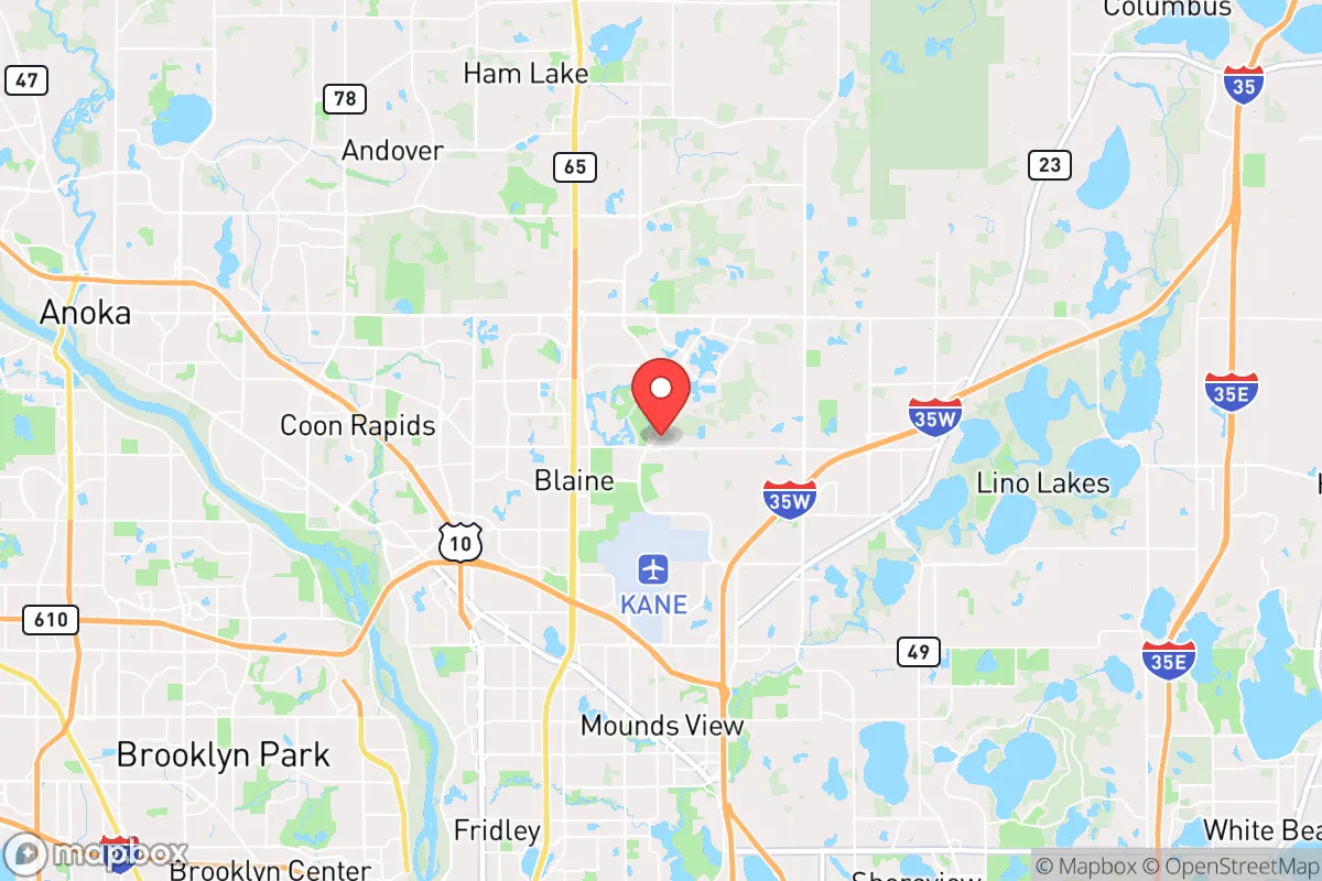
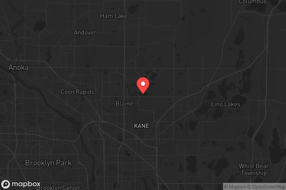
Blaine, Minnesota, sits in a precarious but potentially advantageous position for those prioritizing resilience and strategic relocation. While its proximity to the Twin Cities metropolitan area introduces significant vulnerabilities in a major-disaster scenario, its specific location within Anoka County offers a blend of suburban infrastructure and access to northern escape routes that a prepared individual can leverage. For the conservative prepper, Blaine is not a bug-out location—it is a forward operating base with a calculated risk profile that demands a clear-eyed assessment of its strengths and weaknesses.
Geographic position and natural advantages for long-term survival
Blaine’s geographic placement is a double-edged sword. It lies roughly 20 miles north of downtown Minneapolis, placing it within the blast radius and fallout plume of any major event targeting the metro’s economic or government hubs. However, its position along the I-35W and US-10 corridors provides direct access to northern Minnesota’s vast forests, lakes, and sparsely populated counties—a critical escape route if civic order collapses. The city itself sits on relatively flat terrain with numerous small lakes (e.g., Lakes George, Marshan, and Peltier) that offer decentralized water sources, a key advantage over areas reliant on a single municipal reservoir. The local water table is generally high, making private wells a viable option for those who can drill them, though the sandy loam soil in parts of Anoka County can complicate septic systems. For a relocator, the natural advantage here is not defensibility of the immediate area—it’s the ability to move north quickly, using the Mississippi River and St. Croix River valleys as natural barriers against southward threats.
Risks, exposures, and proximity to fallout-relevant landmarks
The primary risk for Blaine is its proximity to high-value targets within the Twin Cities. The Minneapolis–Saint Paul International Airport (MSP), the Mall of America, the State Capitol in Saint Paul, and major corporate headquarters (e.g., Target, 3M, Medtronic) are all within a 30-minute drive. In a nuclear or EMP scenario, these would be primary or secondary targets. Blaine itself hosts the National Sports Center, a large public gathering venue that could become a focal point for looting or refugee flow. Additionally, the city is crisscrossed by high-voltage power lines and natural gas pipelines feeding the metro, making it vulnerable to cascading infrastructure failures. The Anoka County–Blaine Airport (ANE) is a general aviation field that could be a target for seizure by government or military forces in a crisis. On the positive side, Blaine is not directly adjacent to any known military bases, major rail yards, or chemical storage facilities, which reduces its risk of being a primary strike zone. The real danger is being caught in the secondary chaos—mass evacuation traffic on I-35W, resource hoarding by suburban municipalities, and the breakdown of law enforcement as the metro’s population surges northward.
Practical resilience for a relocator: food, water, energy, and defensibility
For a relocator setting up in Blaine, practical resilience requires a layered approach. Water is the most immediate concern. The city’s municipal water comes from the Prairie du Chien–Jordan aquifer, which is generally reliable but vulnerable to contamination from surface runoff or sabotage. A prepper should install a deep-well hand pump or have a robust rainwater catchment system (average annual rainfall is about 30 inches, with snowmelt providing spring recharge). Food options are limited by suburban zoning—most lots are 0.25 to 0.5 acres, making large-scale gardening difficult. However, community gardens exist (e.g., at Blaine Central Park), and the surrounding agricultural land in Anoka County (known for sod farms and row crops) could be bartered for or foraged in a collapse. Energy independence is feasible but expensive. Blaine gets about 200 sunny days per year, so solar panels with battery storage can cover basic needs, but winter cloud cover and snow accumulation reduce output significantly. A backup generator running on propane (which can be stored indefinitely) is a smarter bet. Defensibility is Blaine’s weakest point. The city’s suburban layout—curving streets, cul-de-sacs, and open parks—offers no natural chokepoints. Homes with fences, reinforced doors, and clear sightlines are essential. The best defensive strategy is to have a pre-planned bug-out route north to a secondary property in a county like Itasca or St. Louis, where lakes, forests, and lower population density provide genuine security. Blaine’s police department is well-funded and professional, but in a widespread crisis, they will be overwhelmed by calls from the entire northern metro. Do not rely on them for protection.
The overall strategic picture for a conservative relocator
Blaine is a calculated compromise. It offers decent schools (Blaine High School is rated above average), a relatively low crime rate compared to Minneapolis proper, and a tax base that supports infrastructure maintenance—all factors that matter for a family’s daily life in stable times. But for the survivalist, it is not a fortress. Its value lies in its position as a staging ground: close enough to the metro to maintain employment and access to medical facilities (Mercy Hospital in Coon Rapids is 10 minutes away), but far enough north to allow a rapid retreat into the wilderness if the situation deteriorates. The conservative prepper should view Blaine as a place to build skills, store supplies, and network with like-minded individuals in the broader Anoka County area, where gun ownership and outdoor recreation are common. The real threat is not a single event but a slow-motion collapse—economic instability, supply chain disruptions, or civil unrest—where Blaine’s suburban comforts become a trap. The key is to treat the city as a base, not a final destination. Have a vehicle capable of off-road travel, maintain a cache of supplies at a rural property north of the metro, and stay informed about local politics and emergency management plans. Blaine can work, but only if you treat it as a stepping stone, not a sanctuary.
* Values derived from national, state, county, city and local statistics and may differ in a specific area. Last updated: 2026-04-30T00:19:51.000Z
Narrative content on this page is AI-generated and may contain mistakes. Verify any details that matter before acting on them.
ReloMaps may earn a commission from affiliate links at no extra cost to you.